Sitting in a cafe, sipping tea, resting my legs and toes, relaxing a bit…

Decided to write down my reflections on my trek.  🙂

Day hikes:
When considering hiking the Burren Way, my initial excitement turned to mild concern. However, when I broke it down from 70 miles total to five nice day hikes, I felt much more confident. I’ve completed solo day hikes throughout the US and Europe, so doing five consecutive day hikes seemed much more manageable than one massive hike.

Navigation:
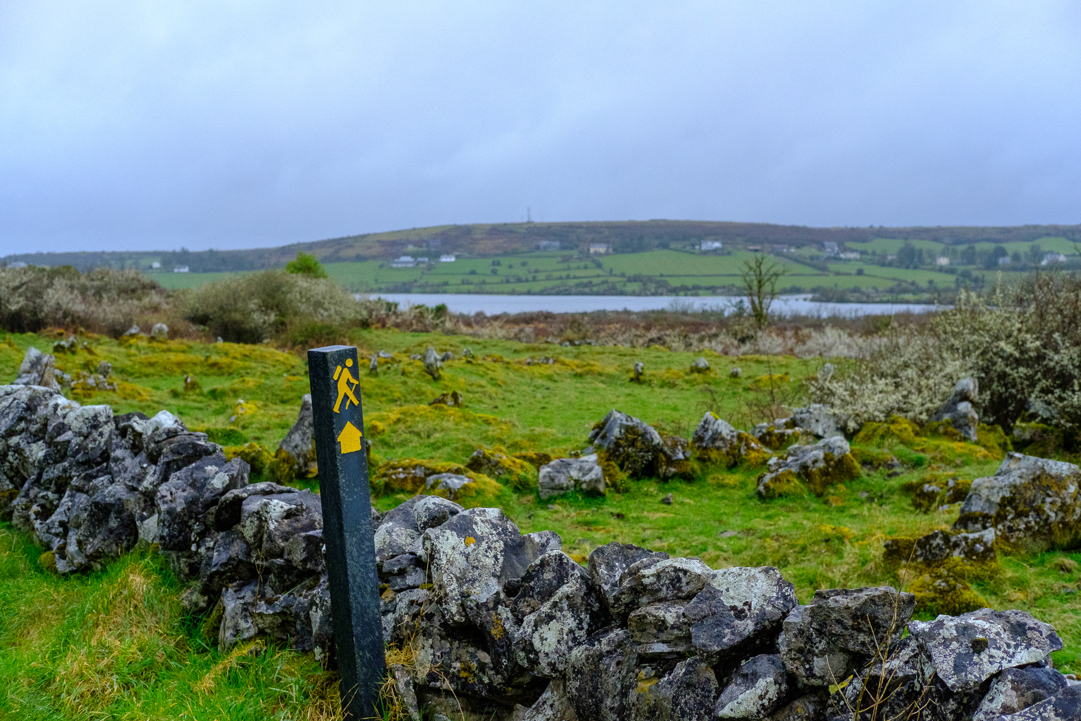
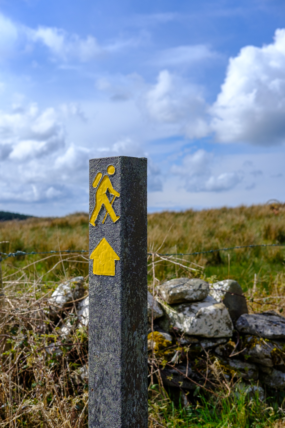
I used three tools to navigate the trail. First, I used Hillwalk Tours’ detailed route notes. Next, I set my Fitbit to measure in kilometers rather than miles. This way, if the route notes said turn left in 350 meters, I could quickly gauge the distance by using my Fitbit. Finally, Hillwalk provided the route on the app GAIA, which uses GPS technology to guide the user. Whenever I was a bit confused or unsure, I’d check GAIA to confirm I was on the proper trail.

Varied scenery:
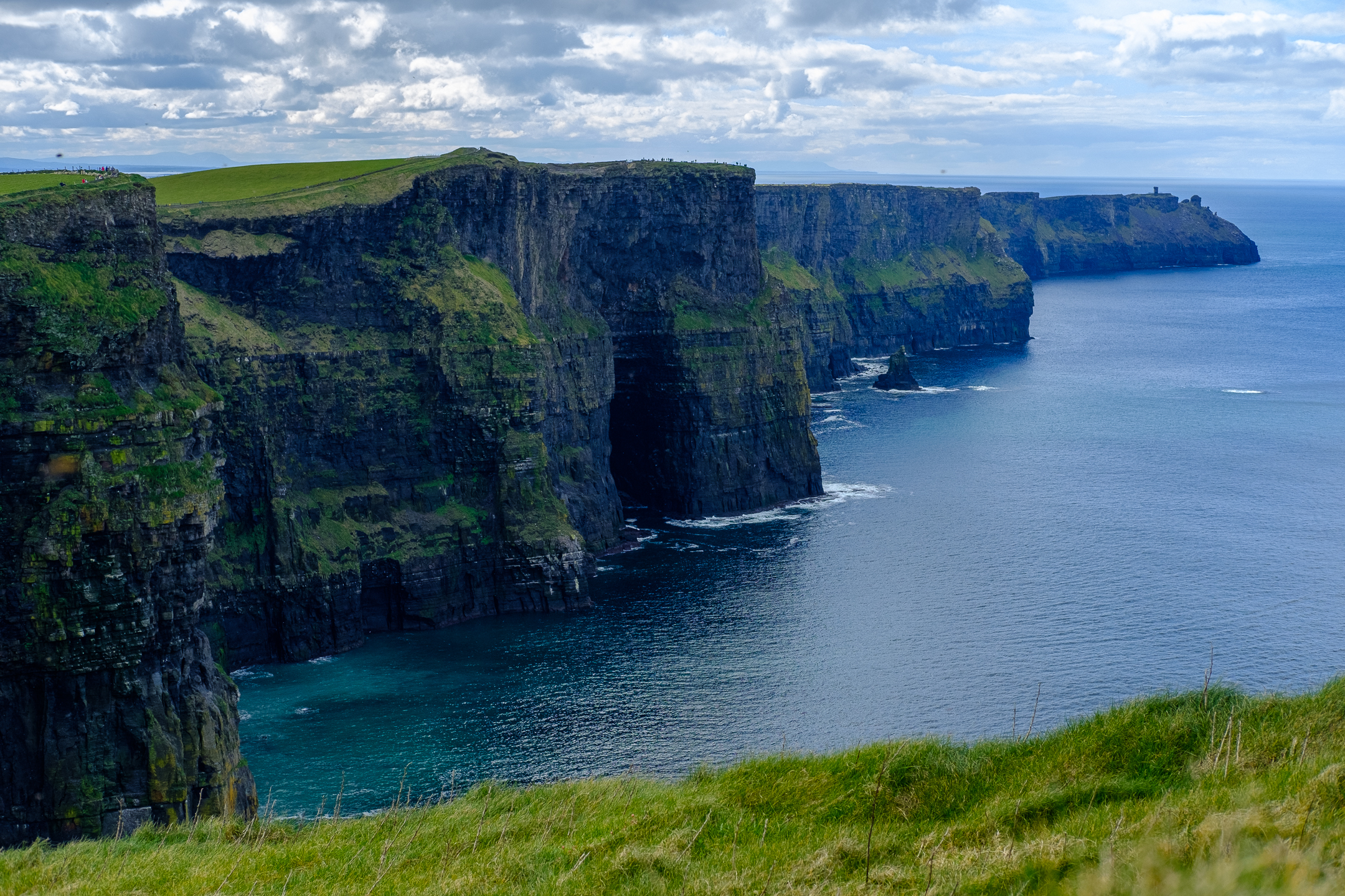
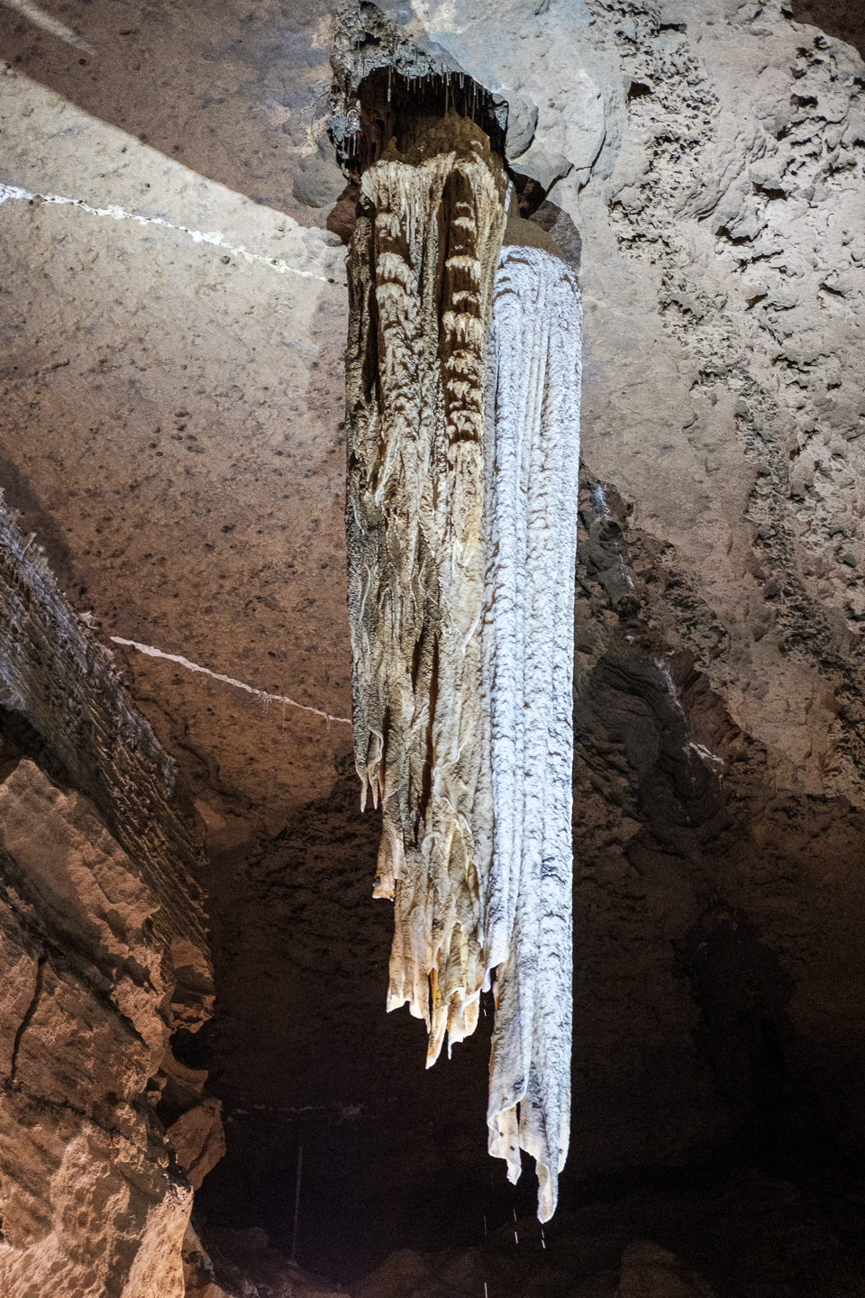
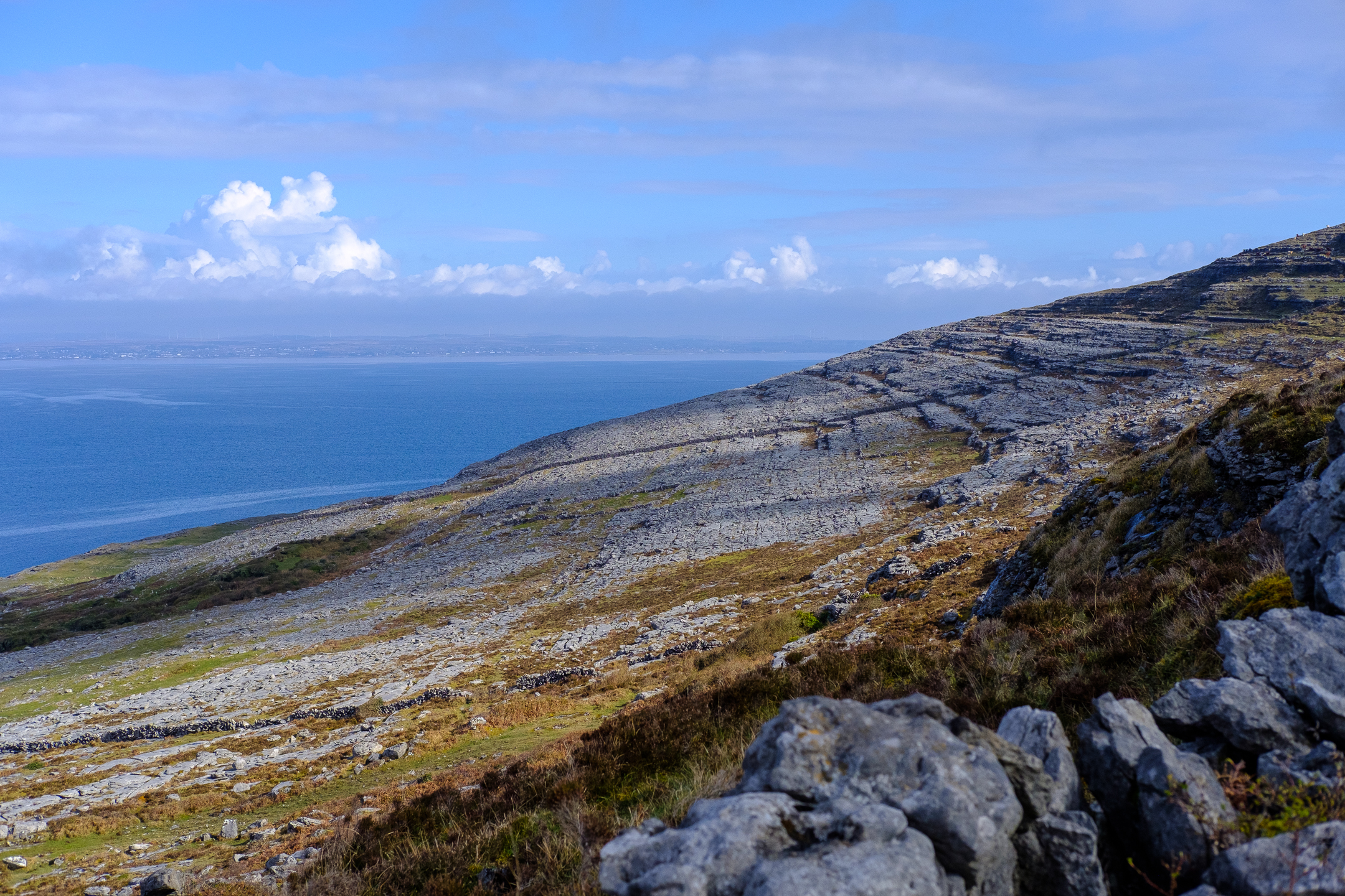
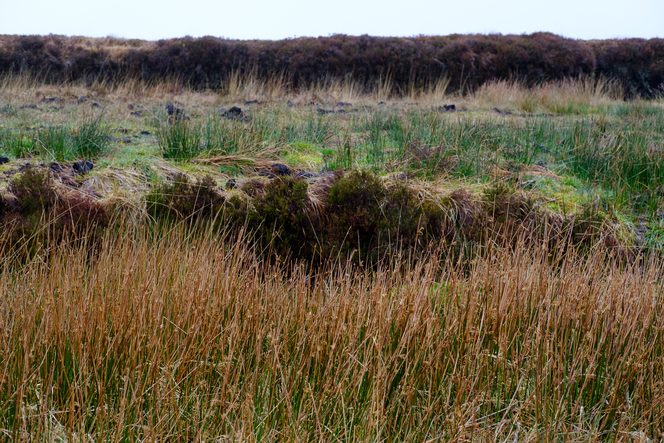
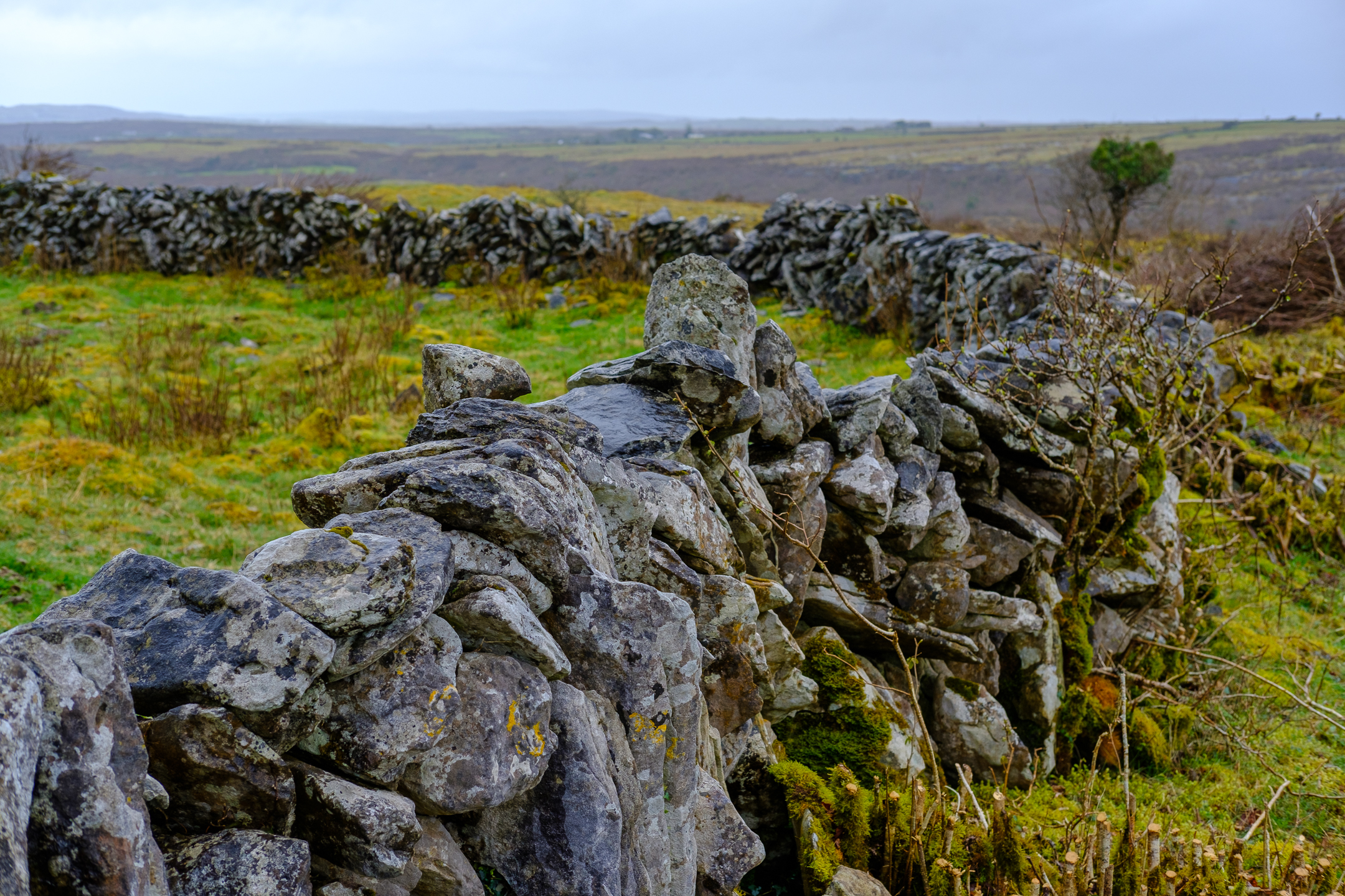
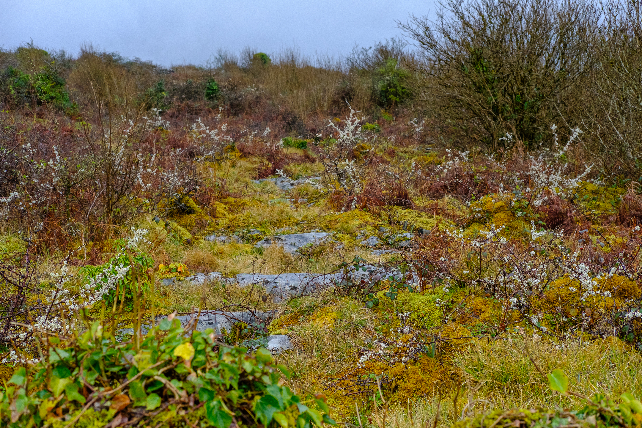
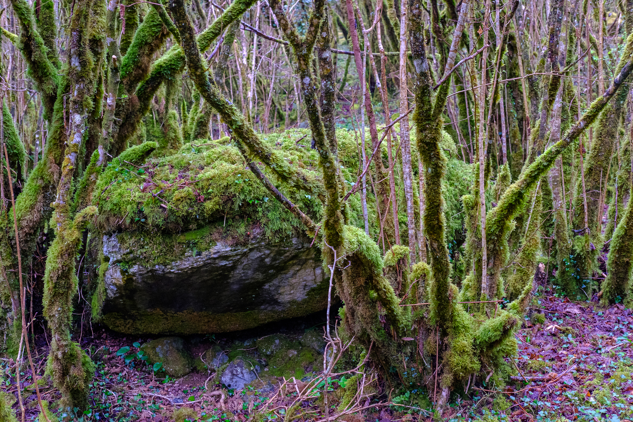
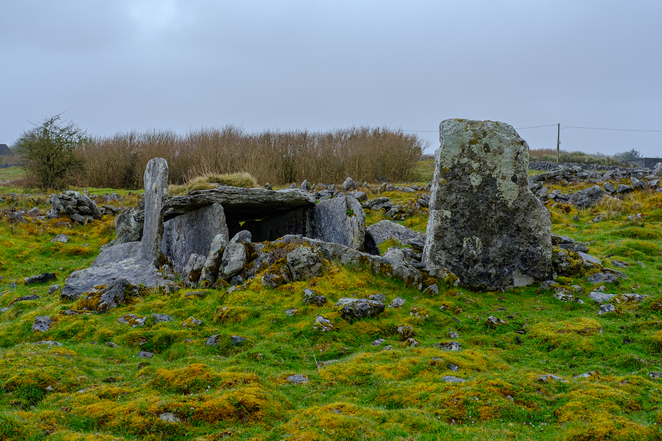
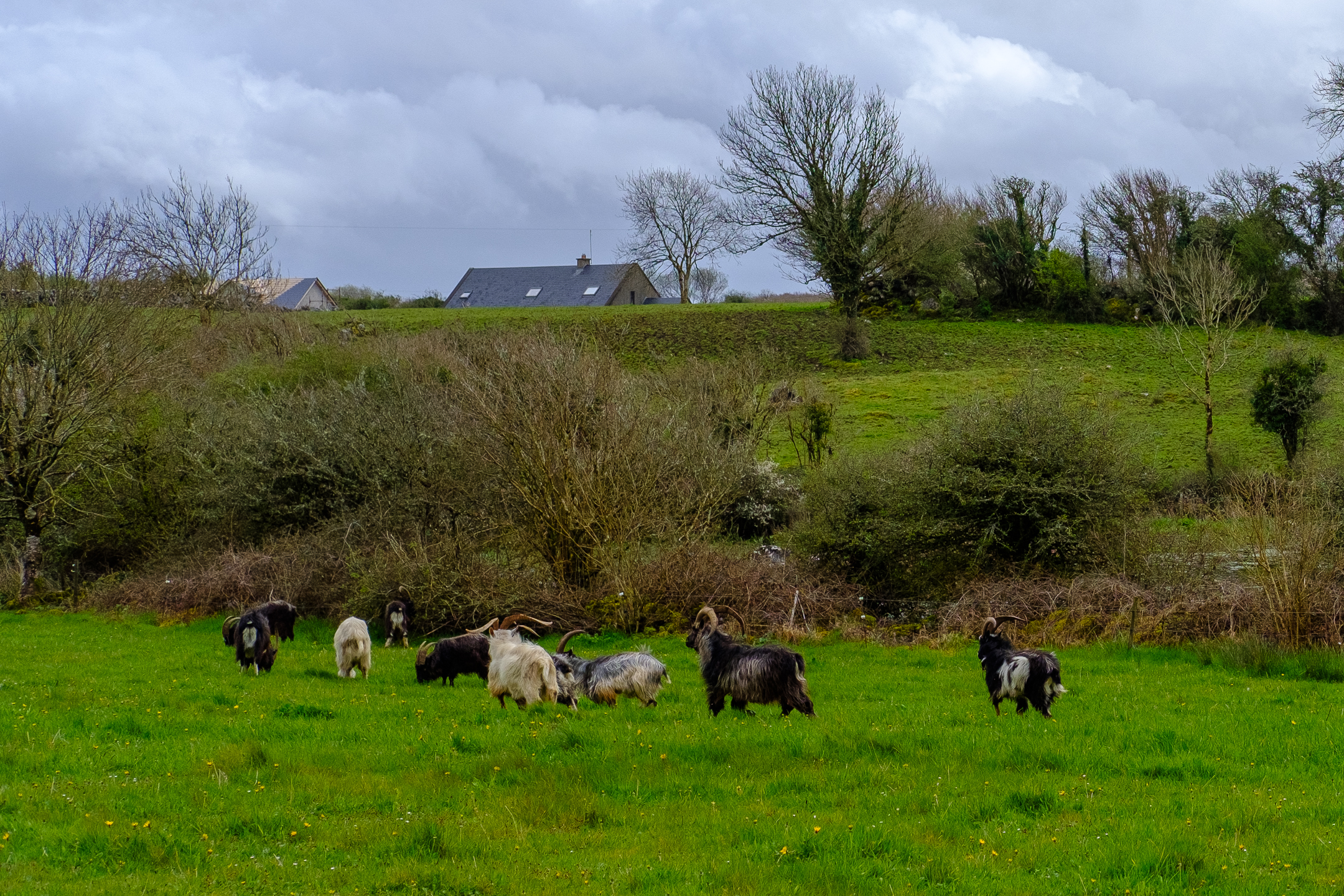
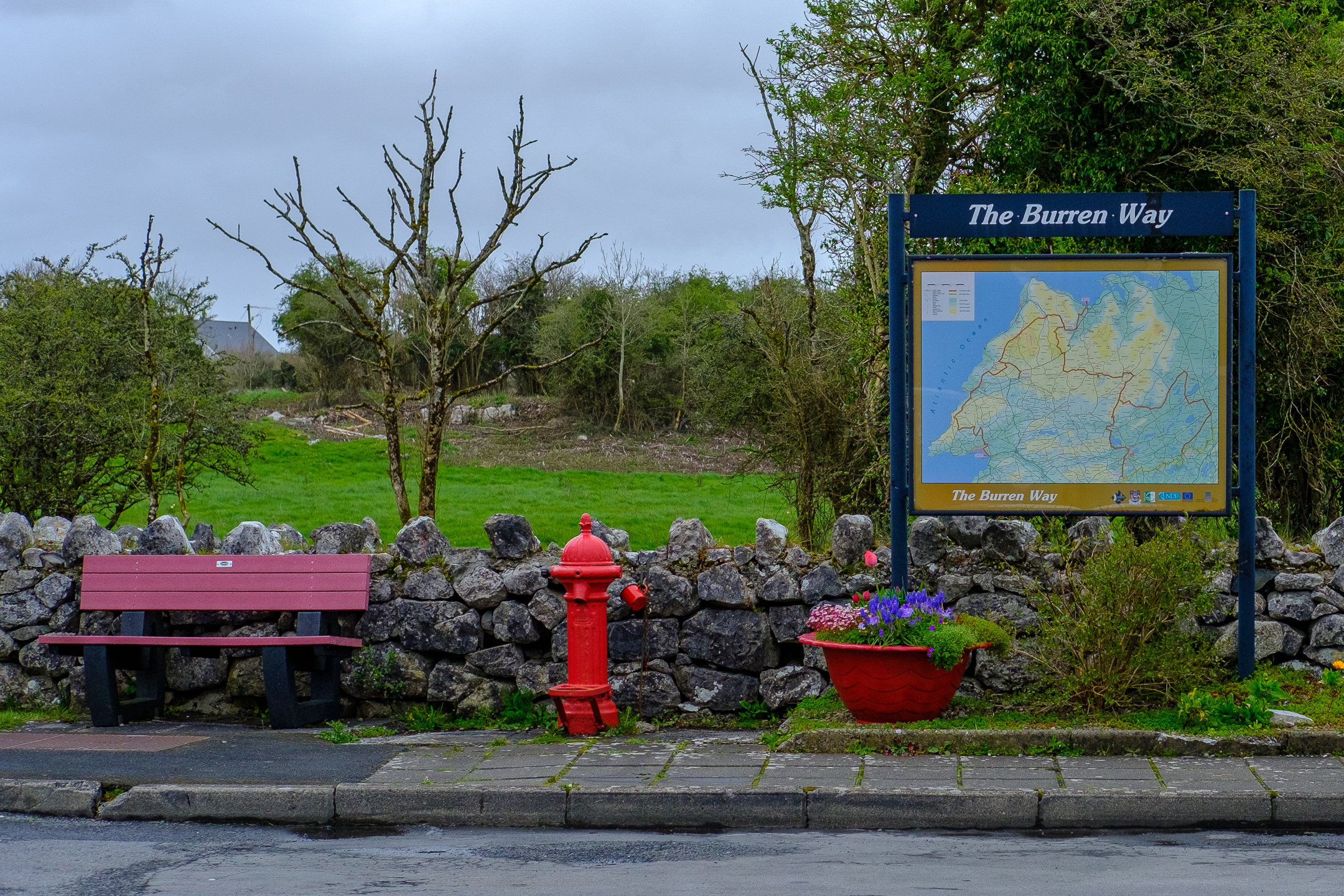
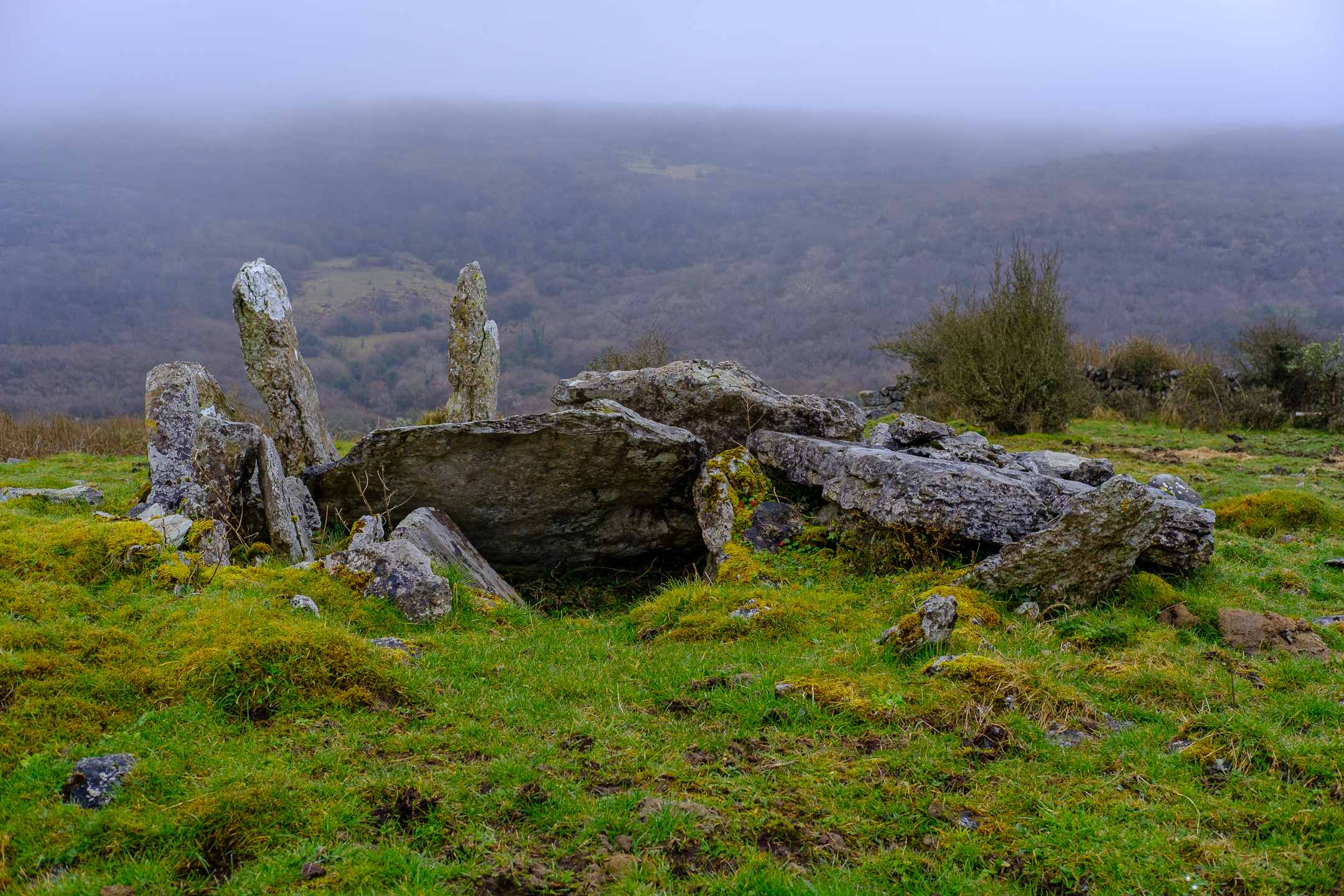
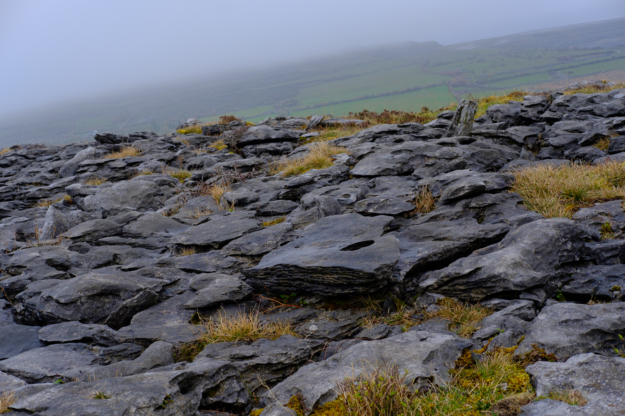
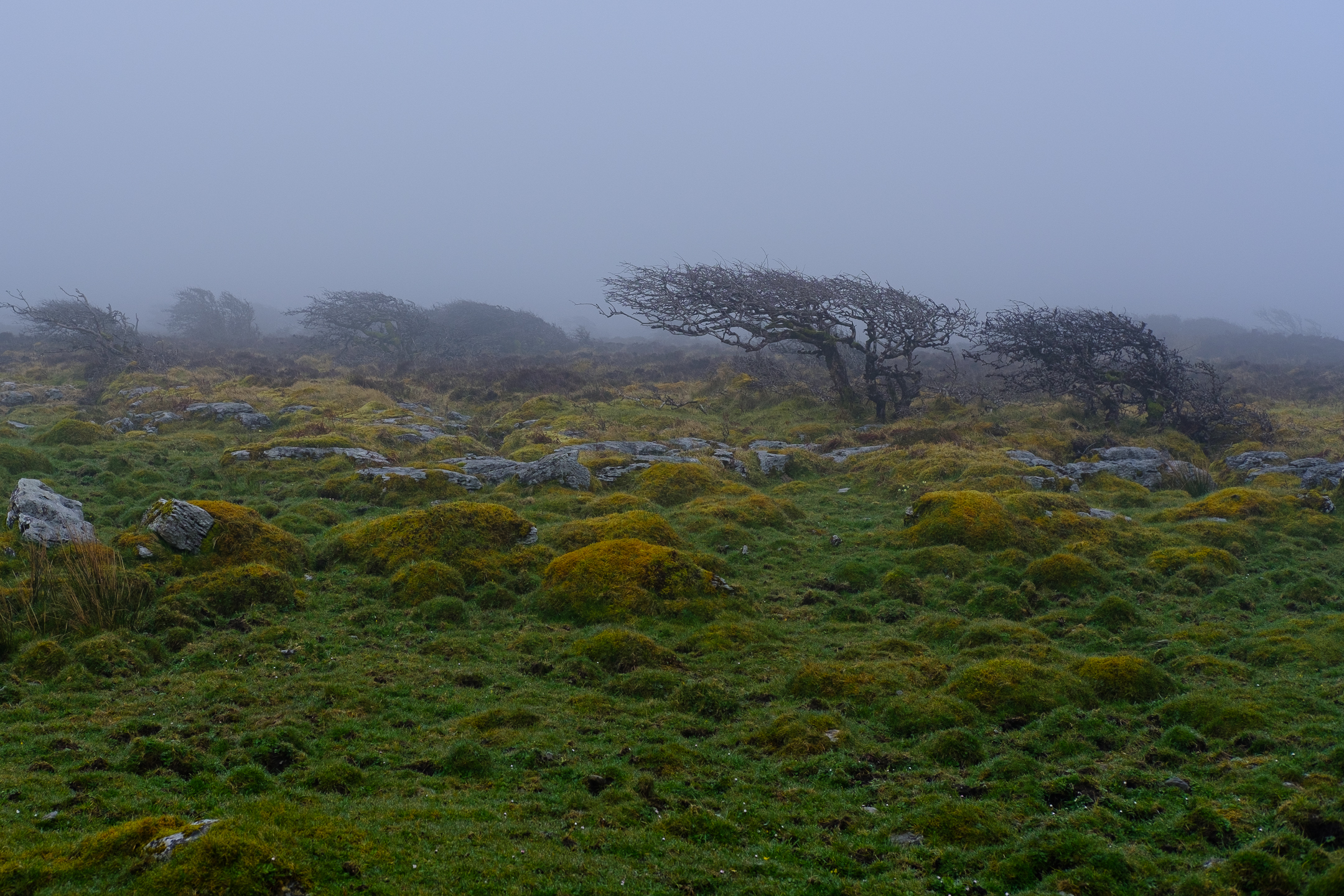
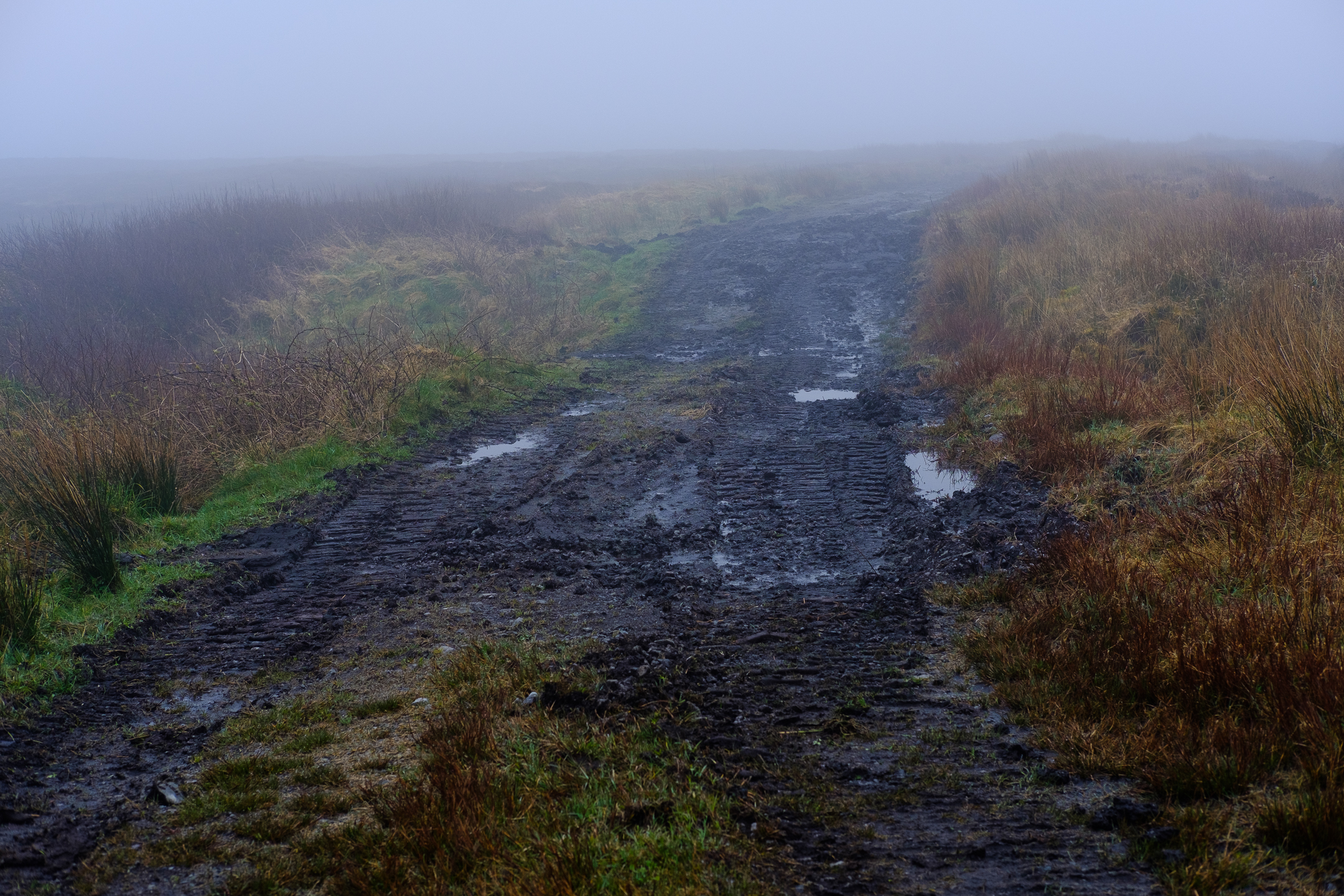
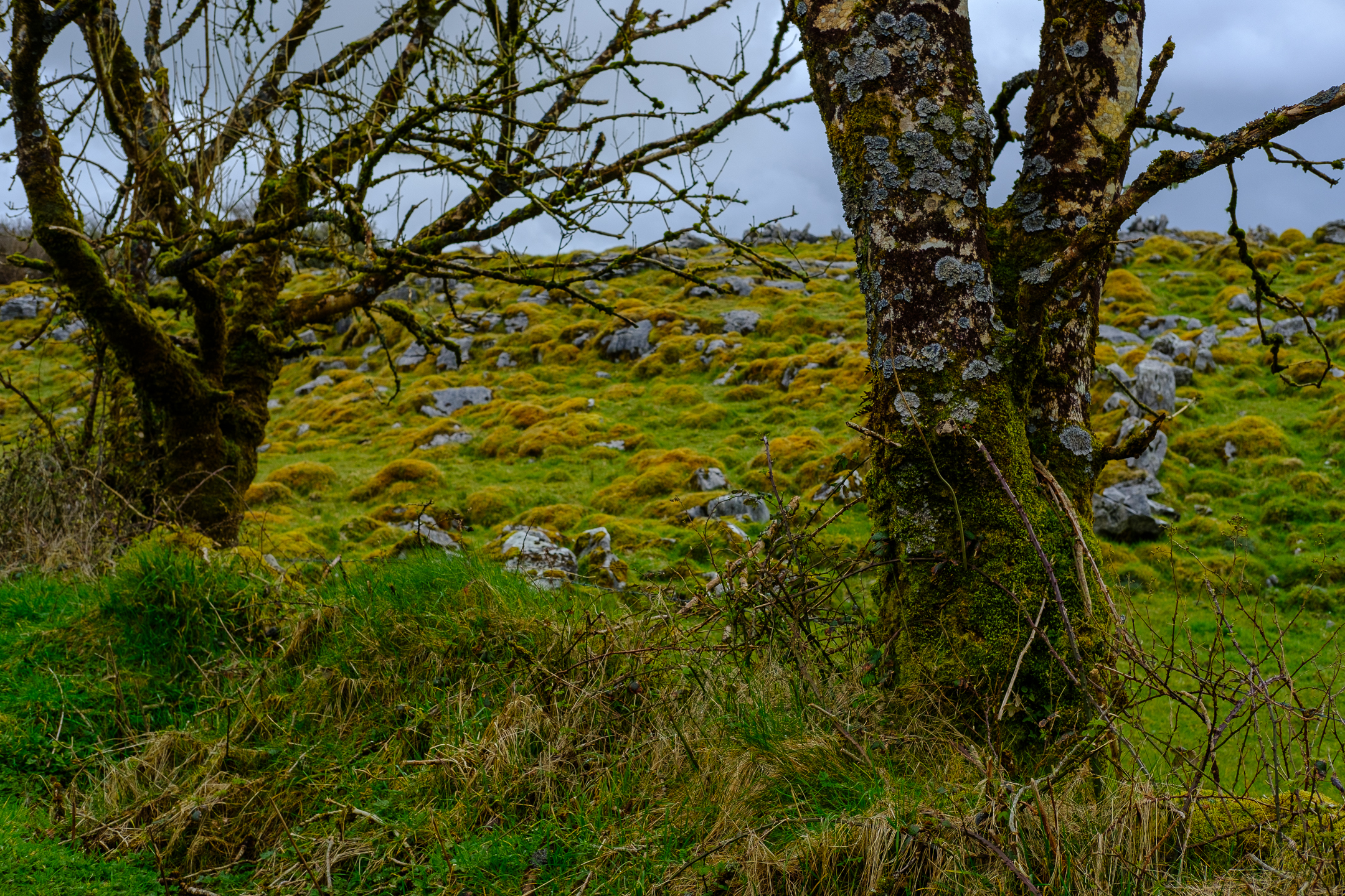
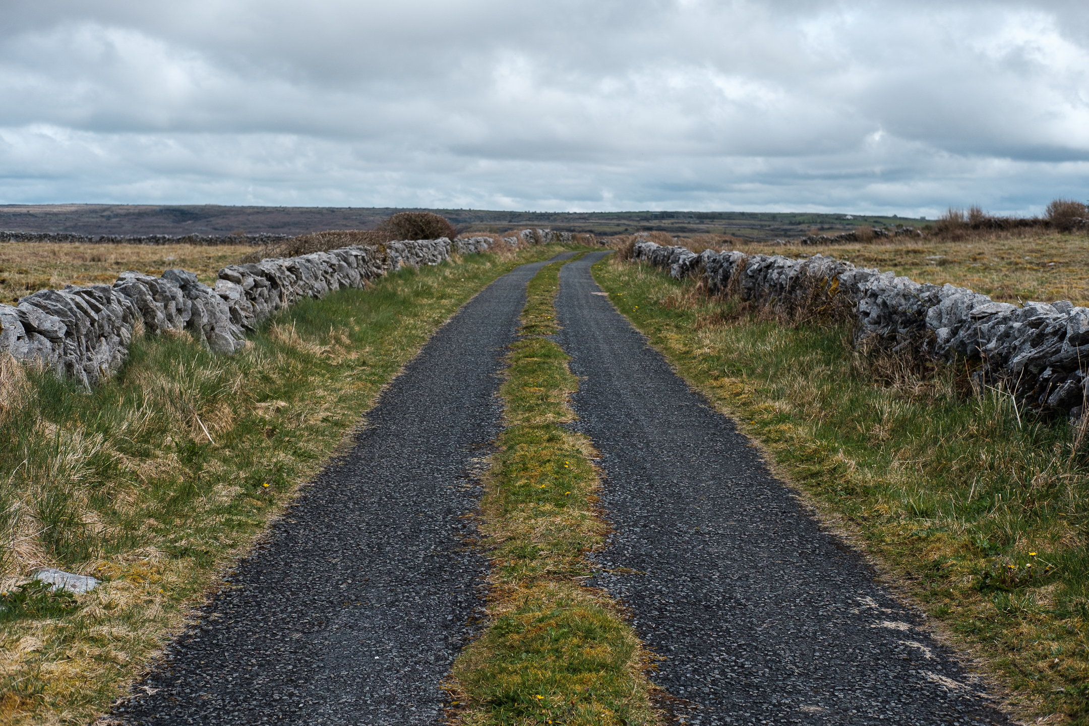
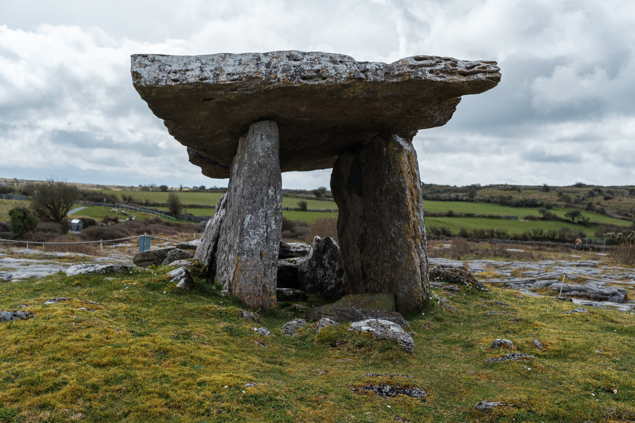
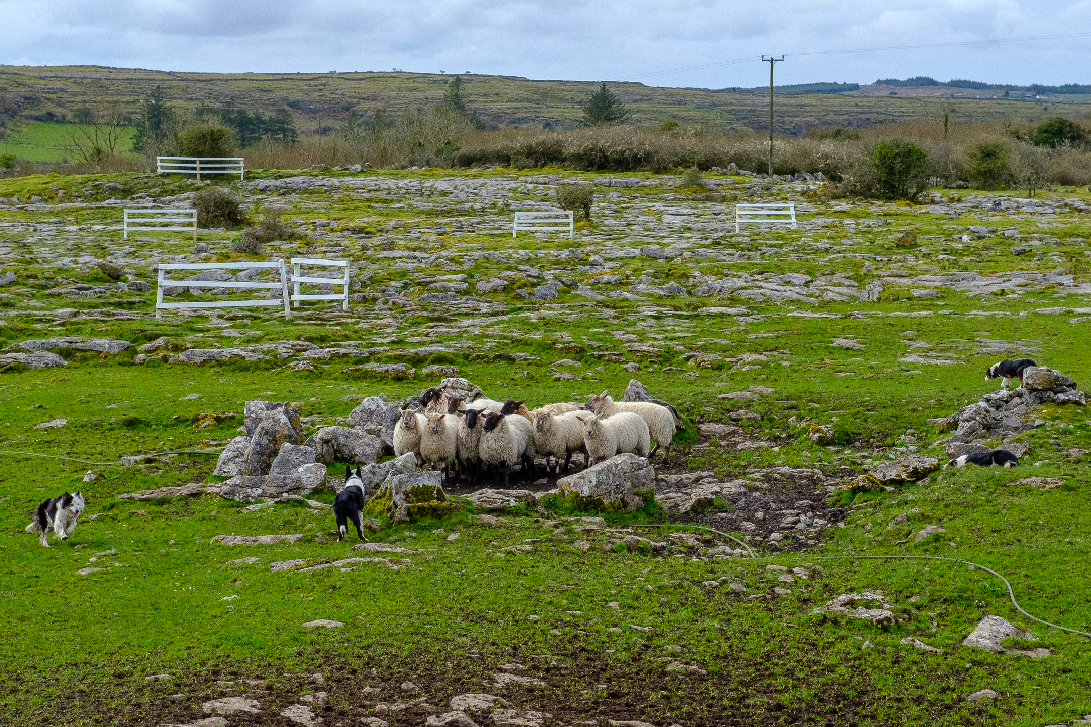
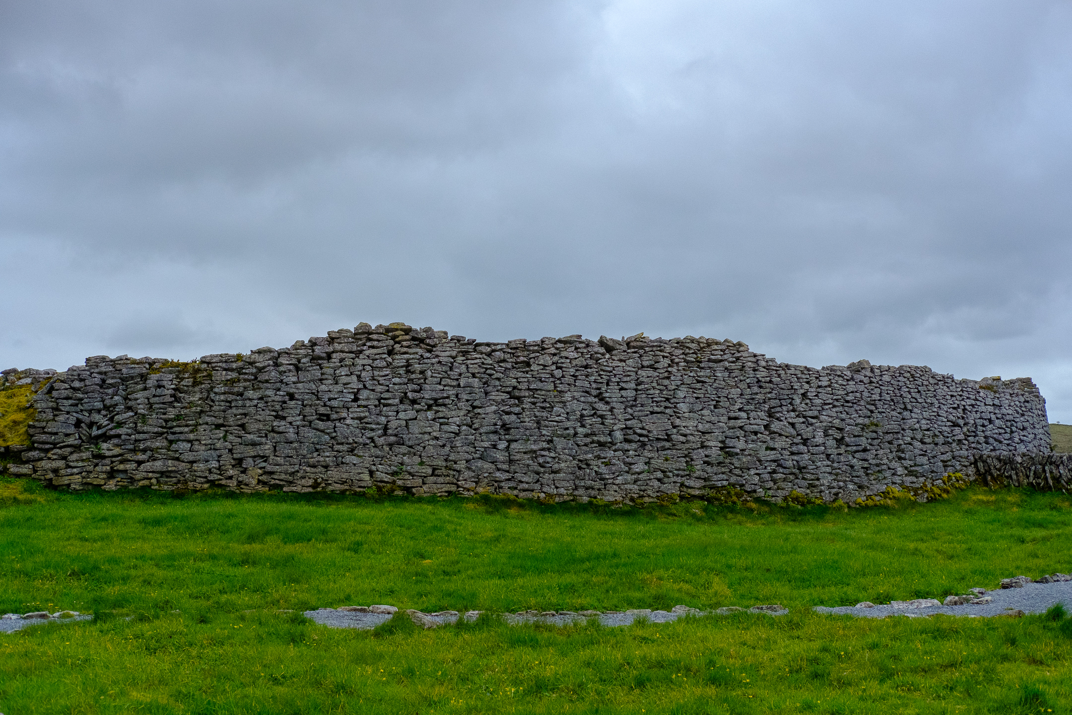
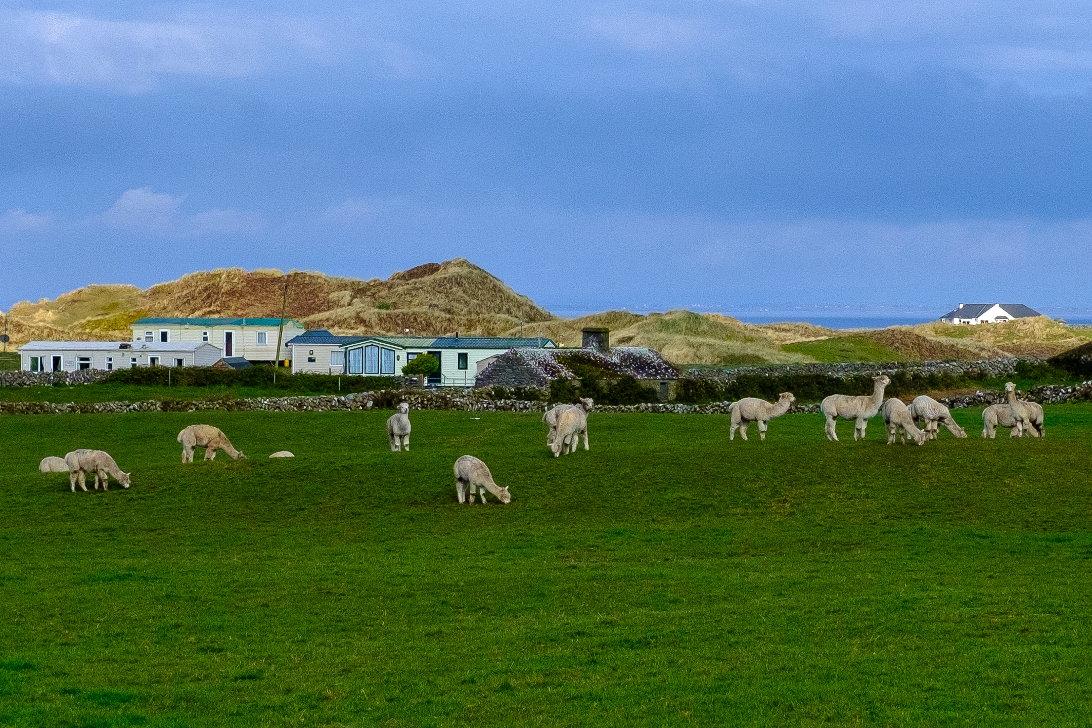
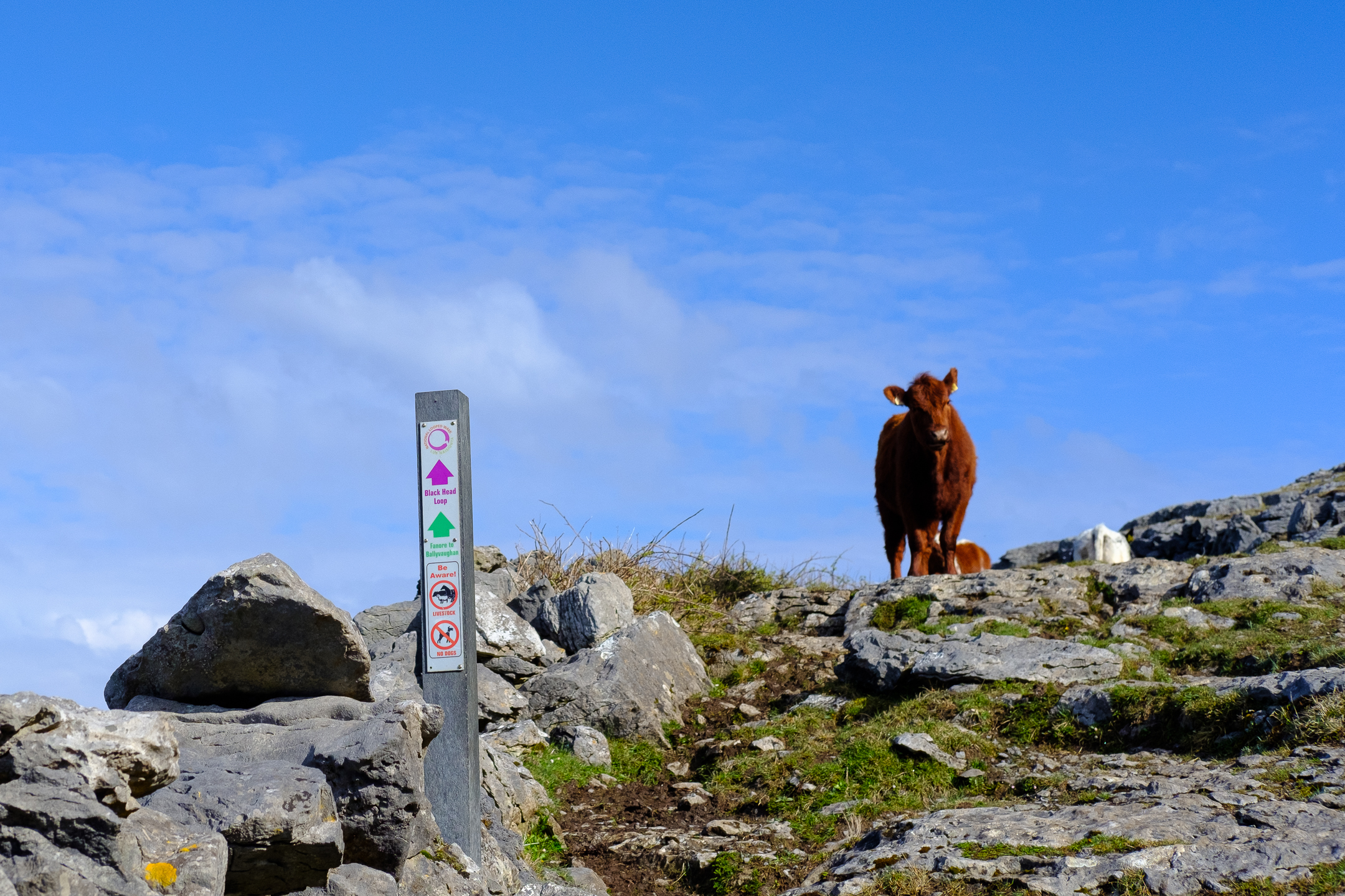
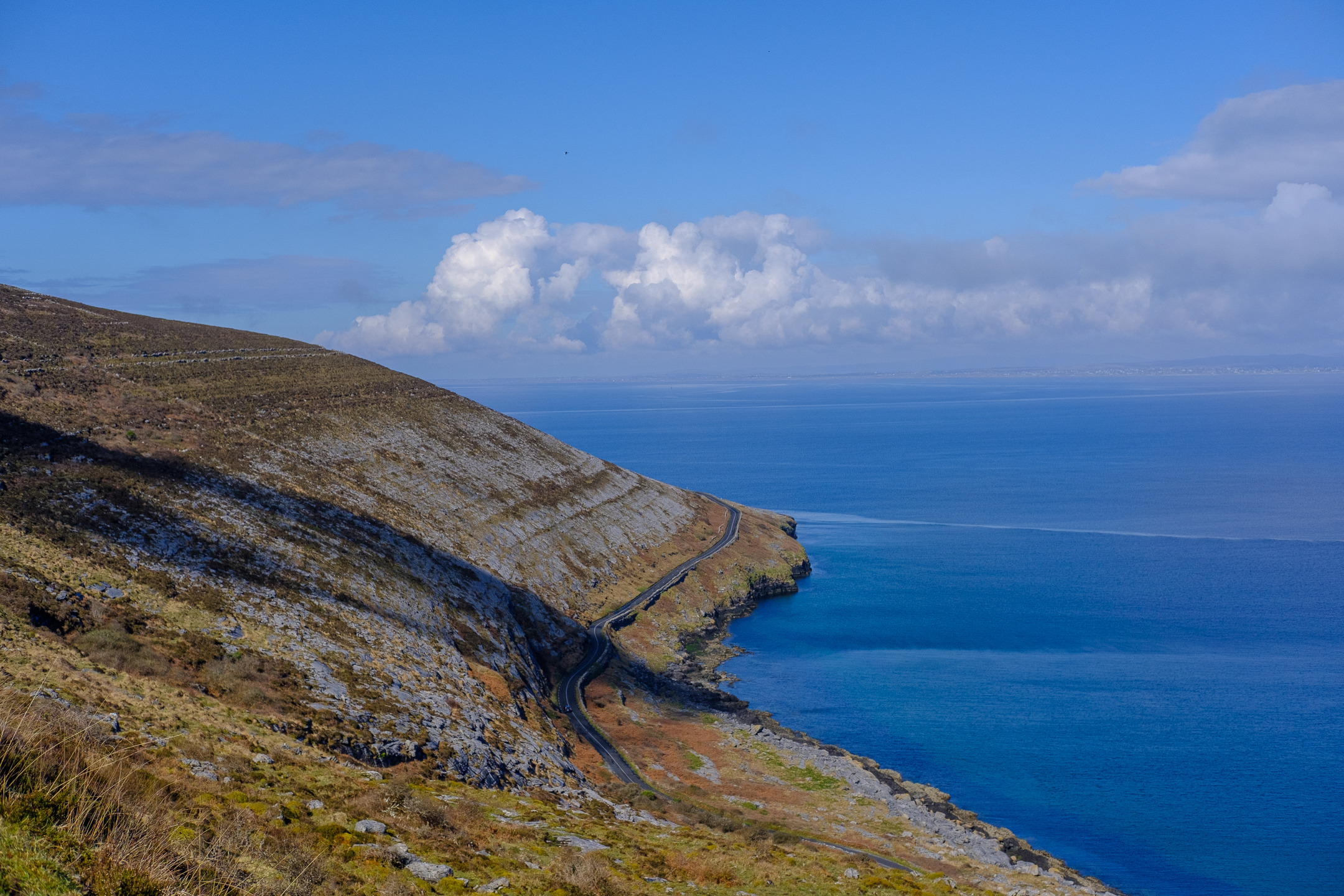
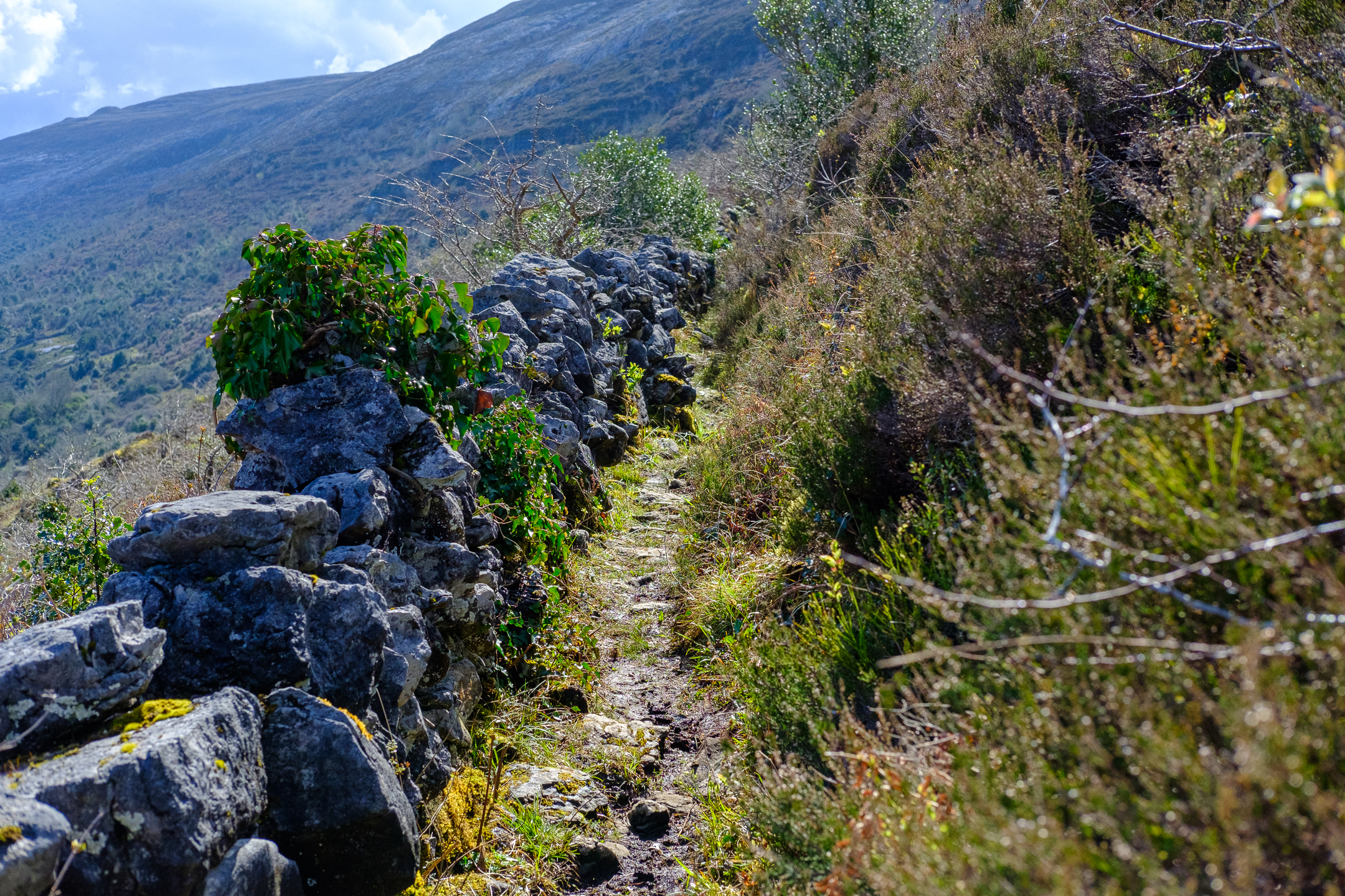
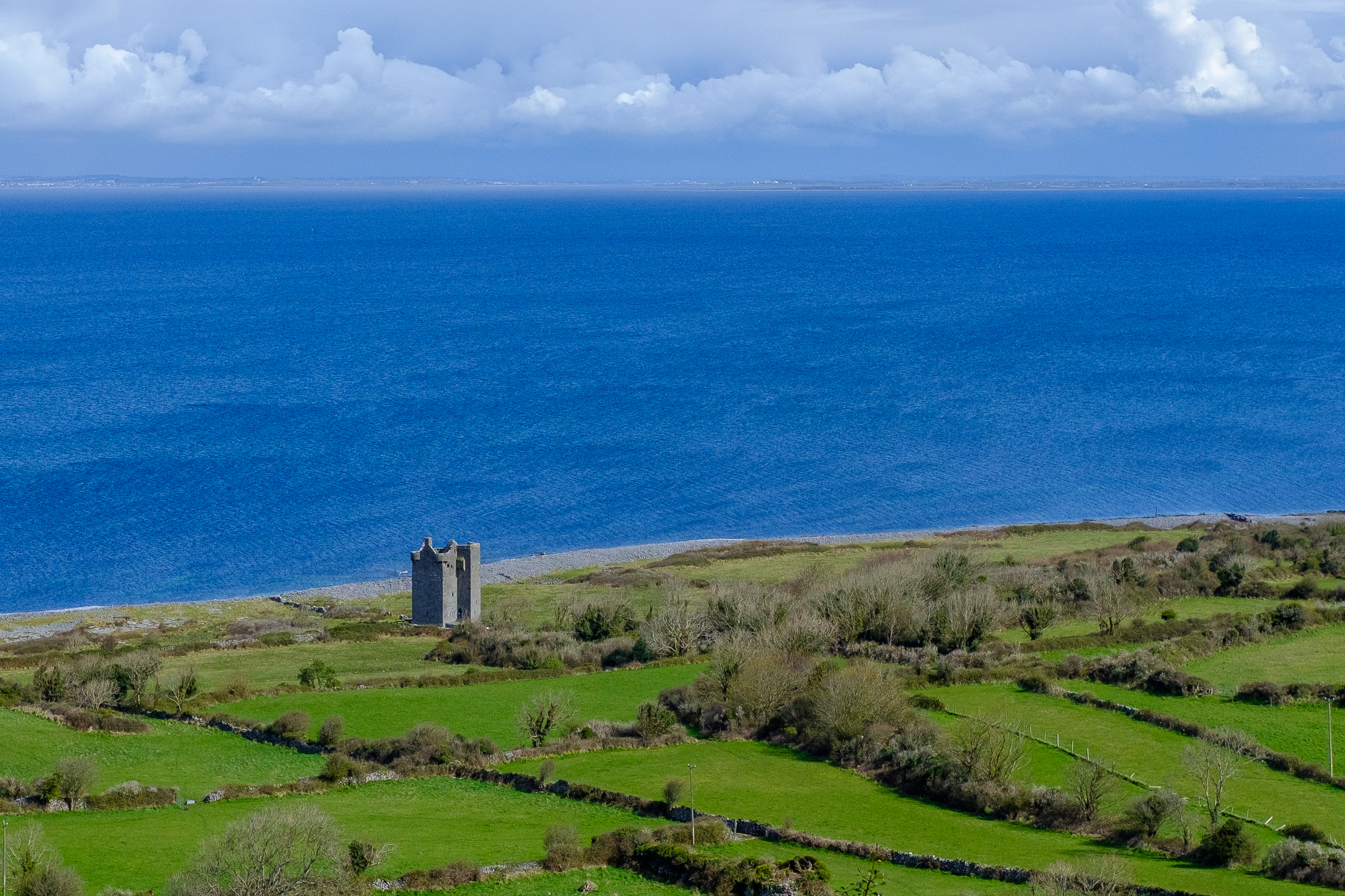
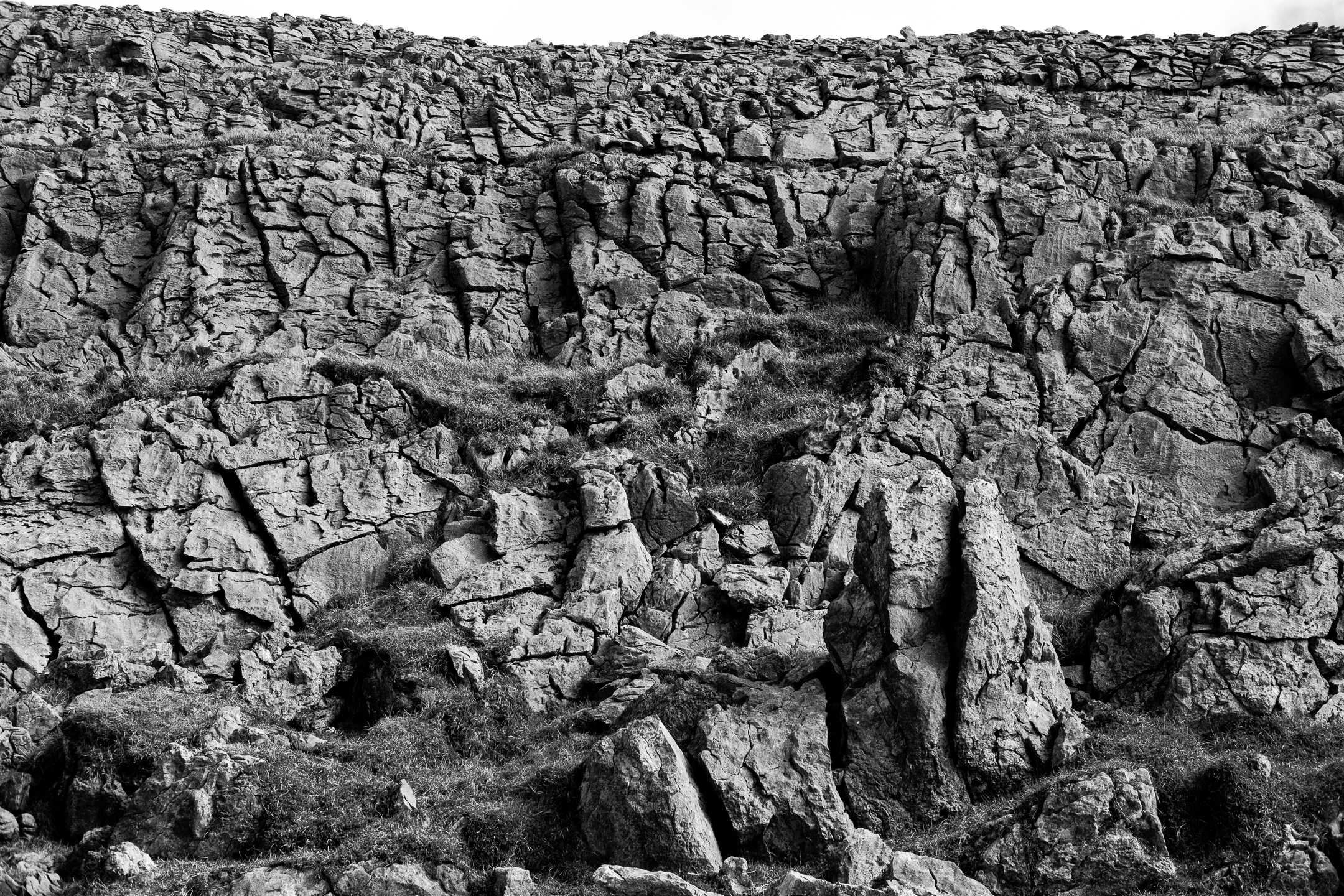
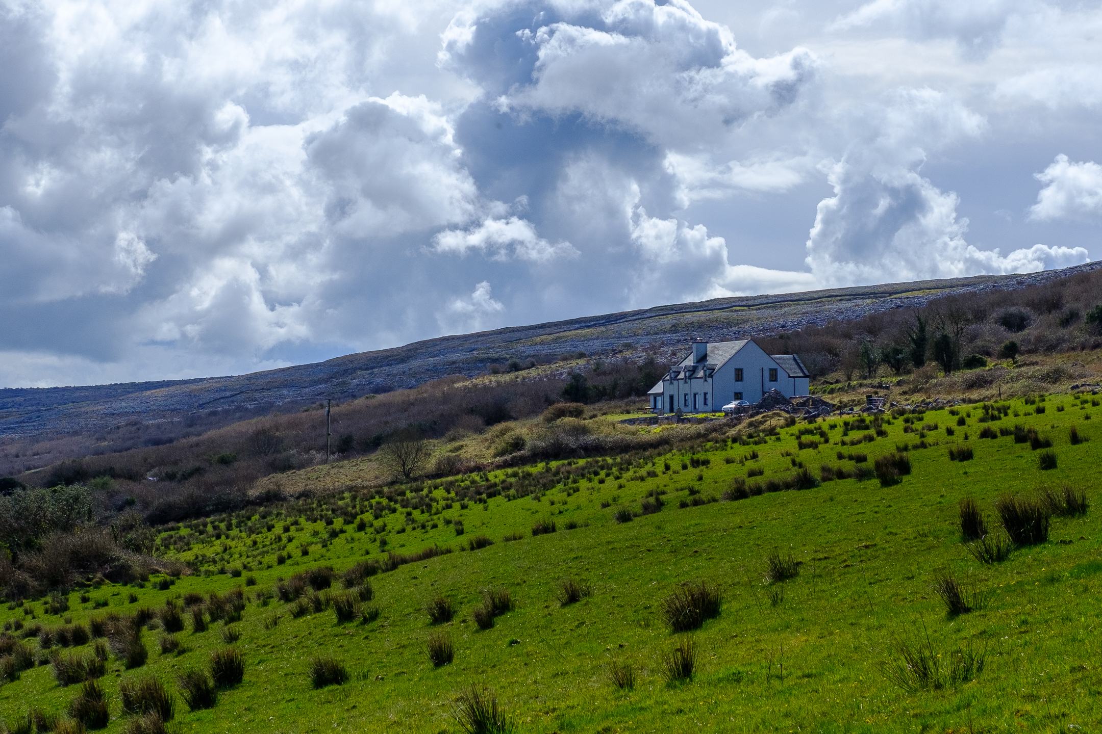
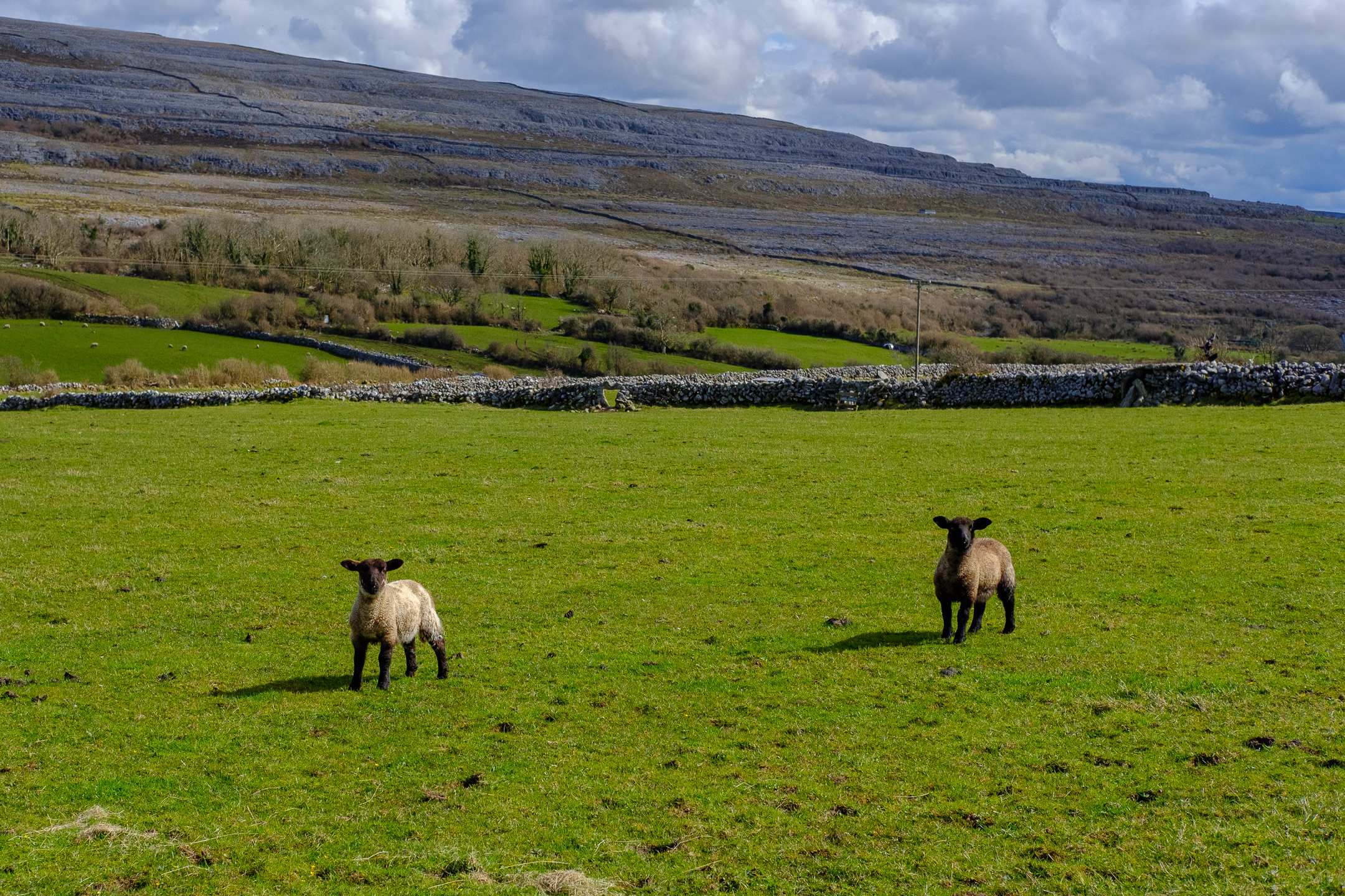
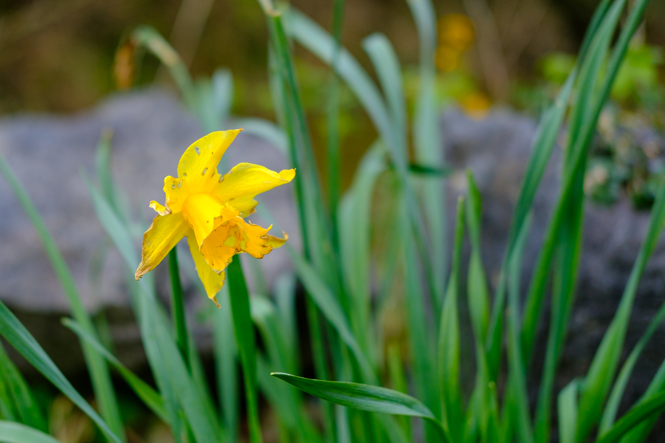
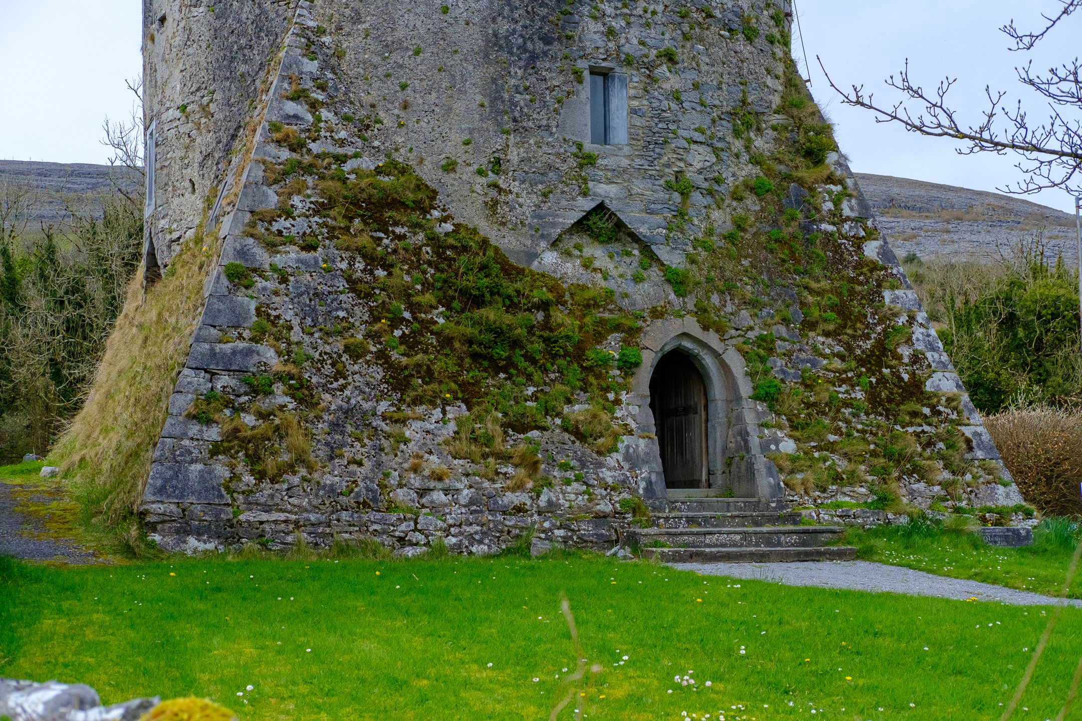
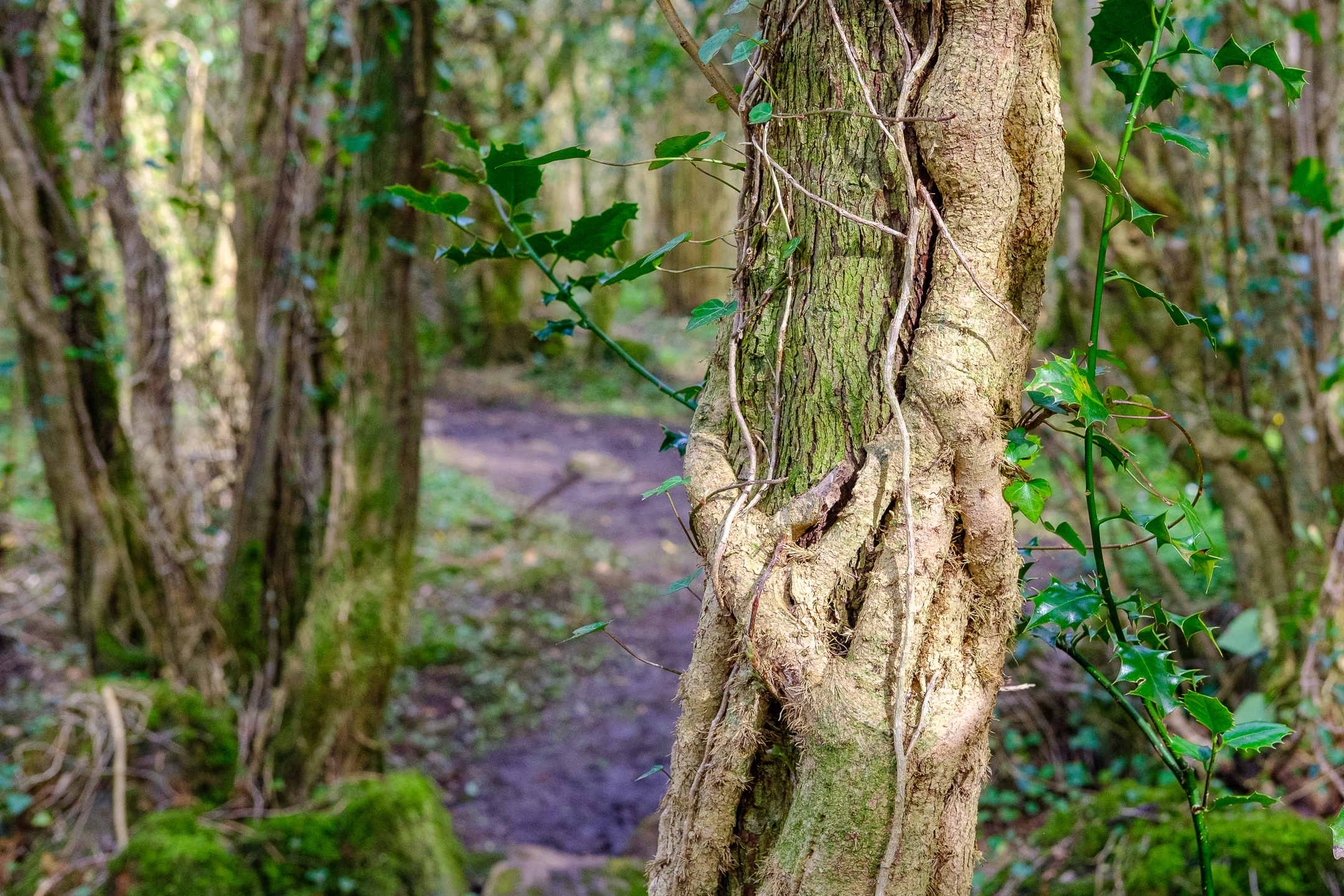
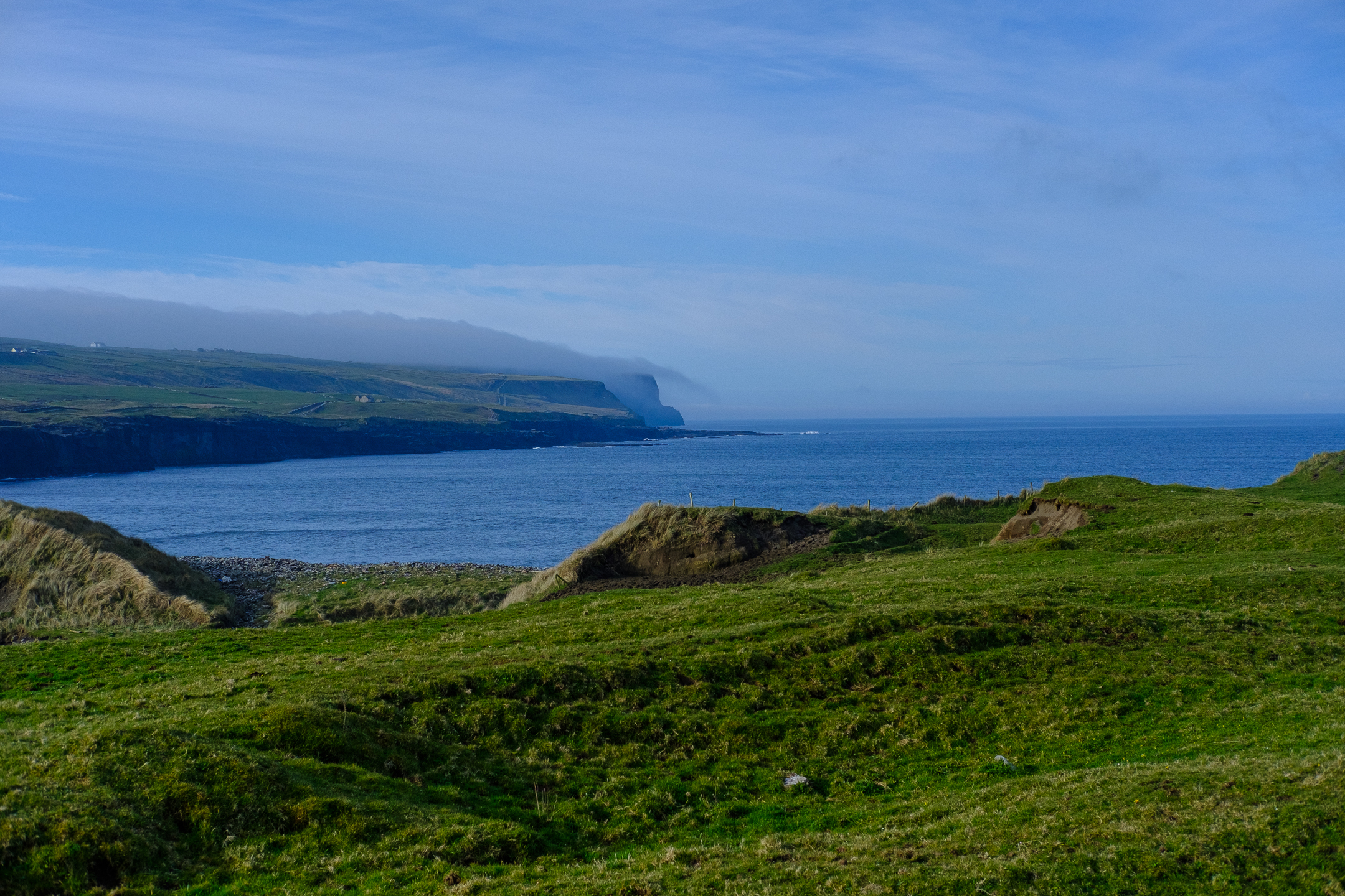
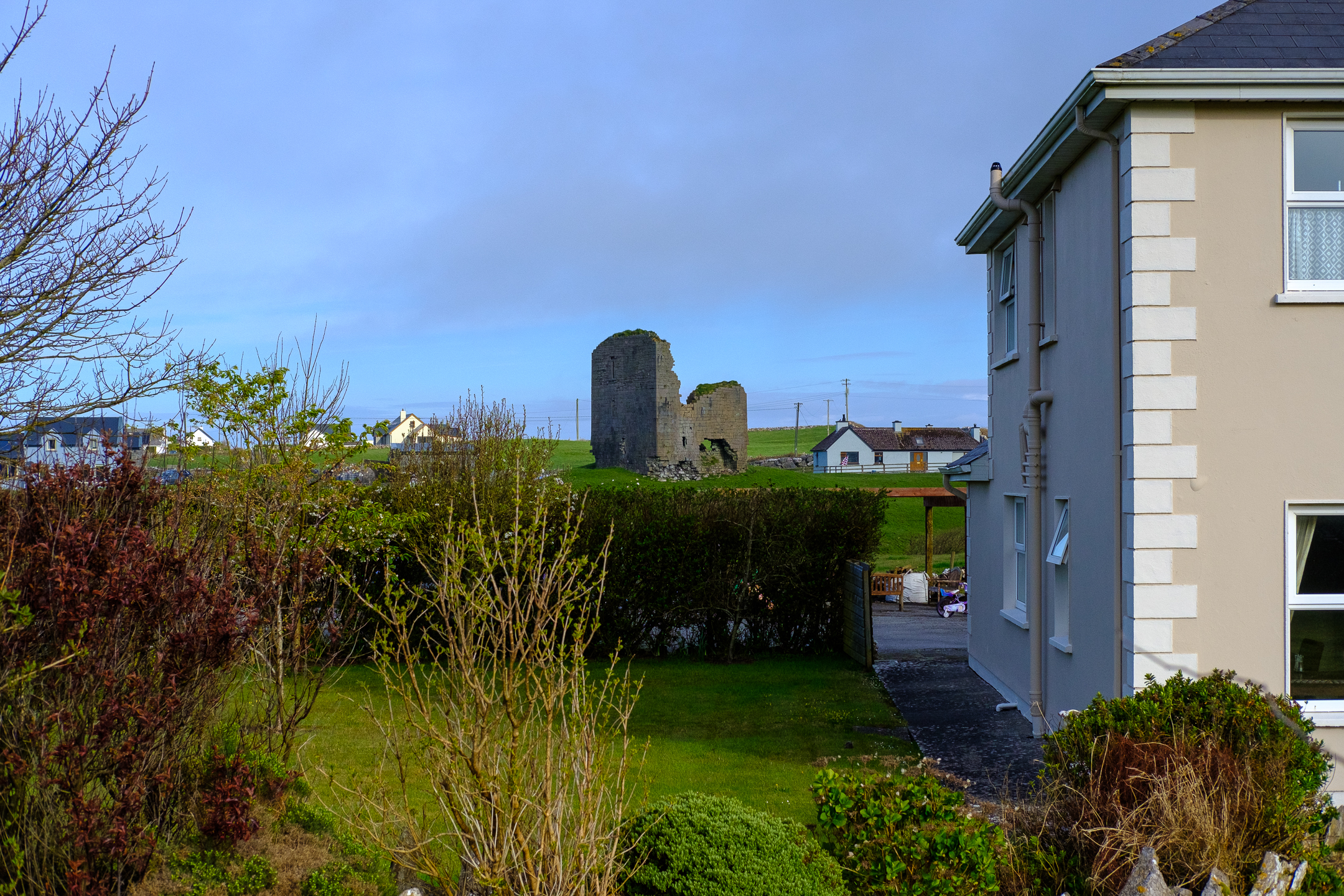
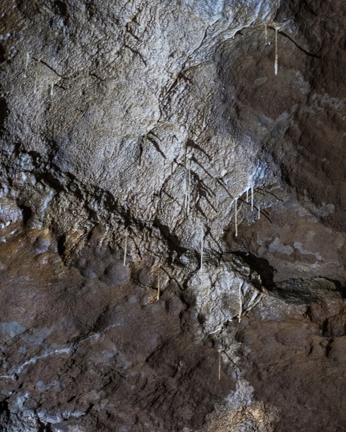
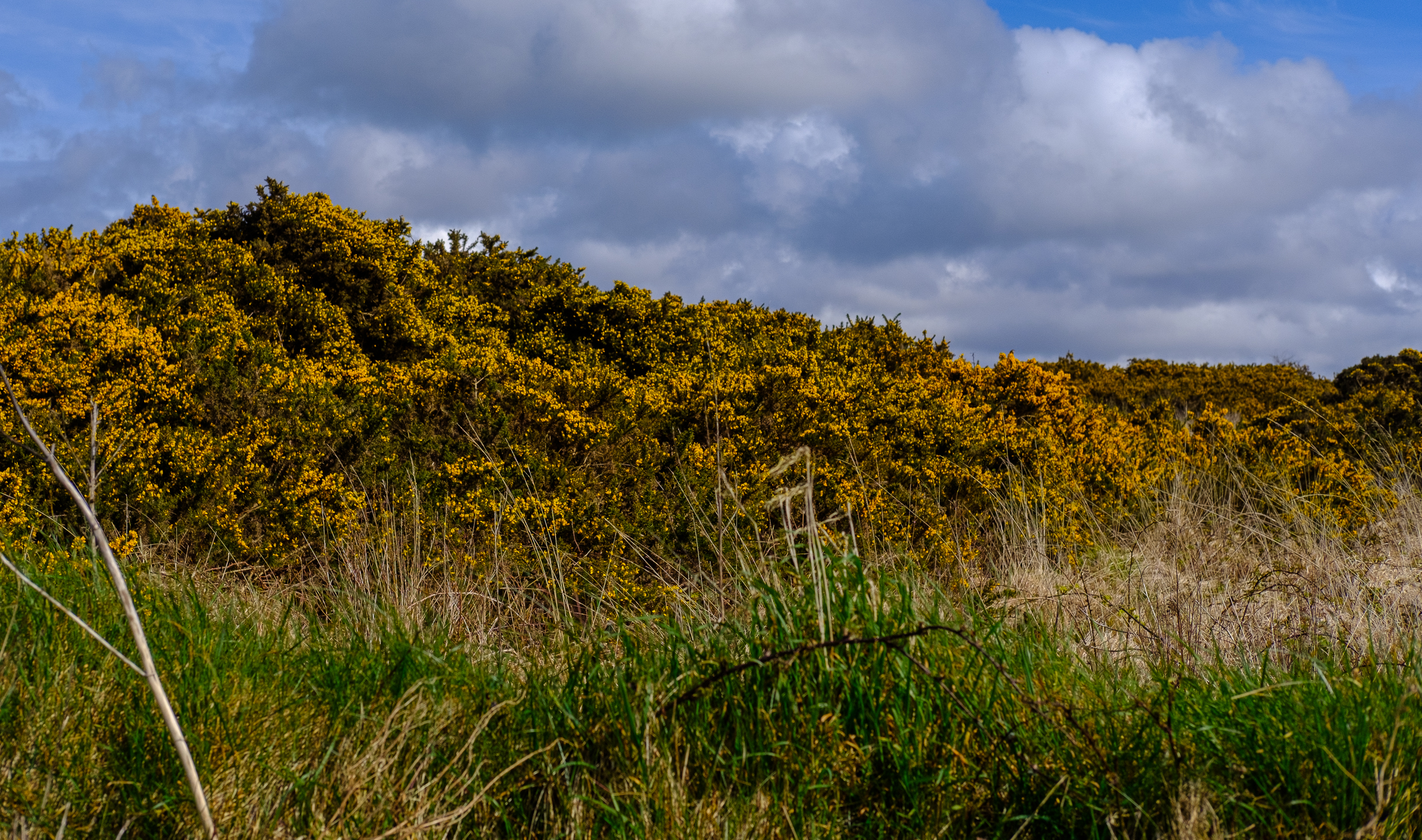
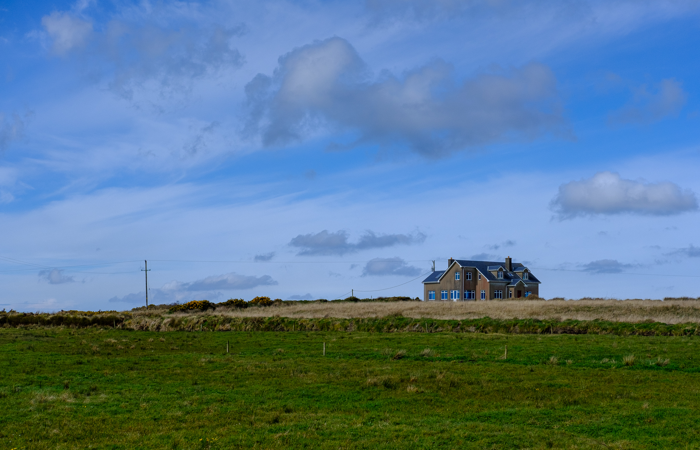
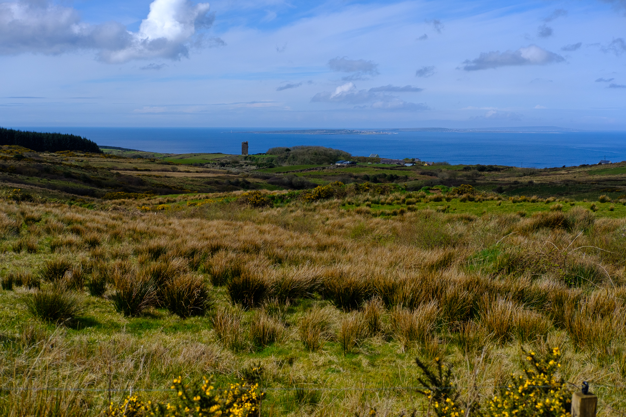
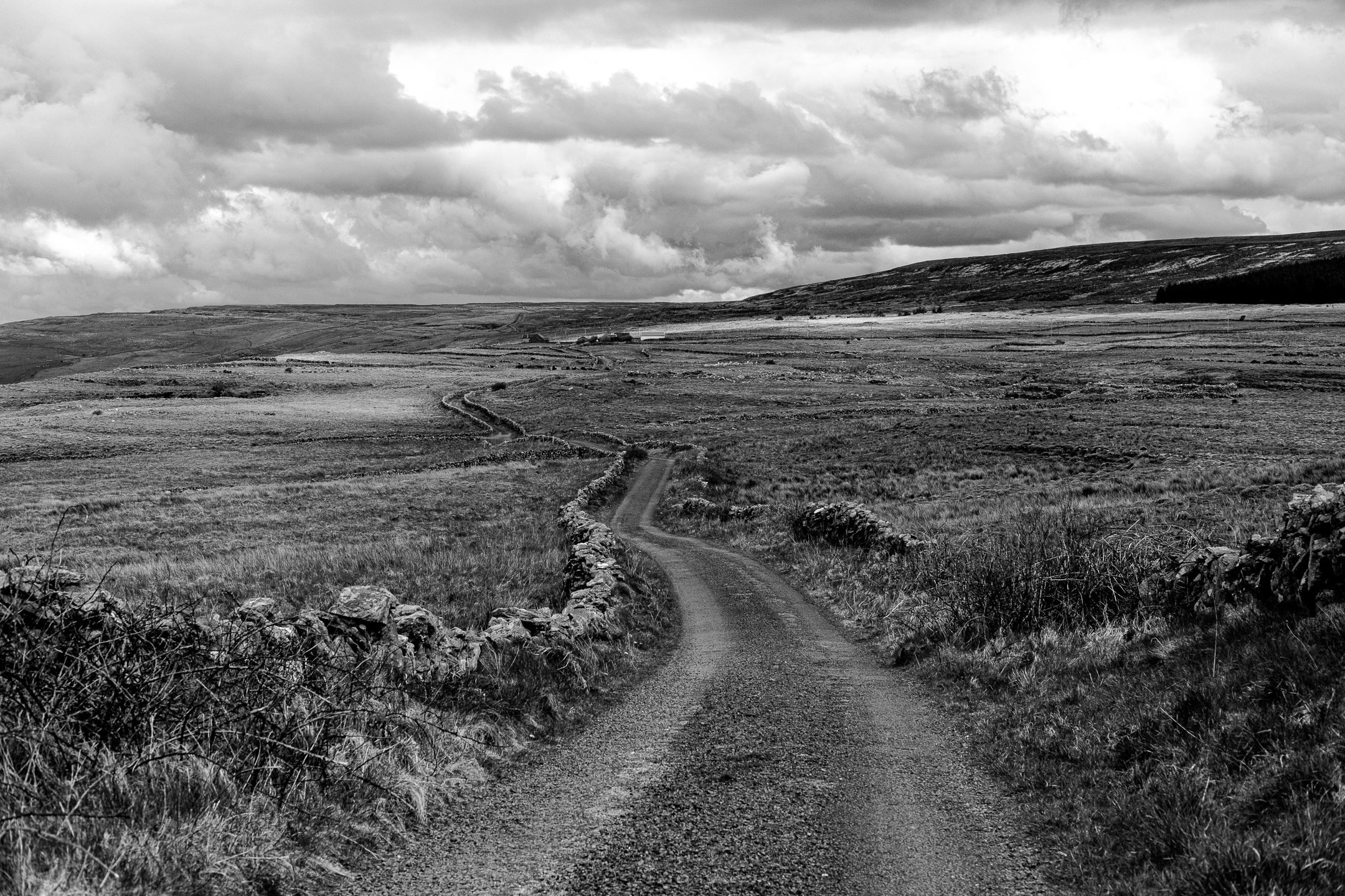
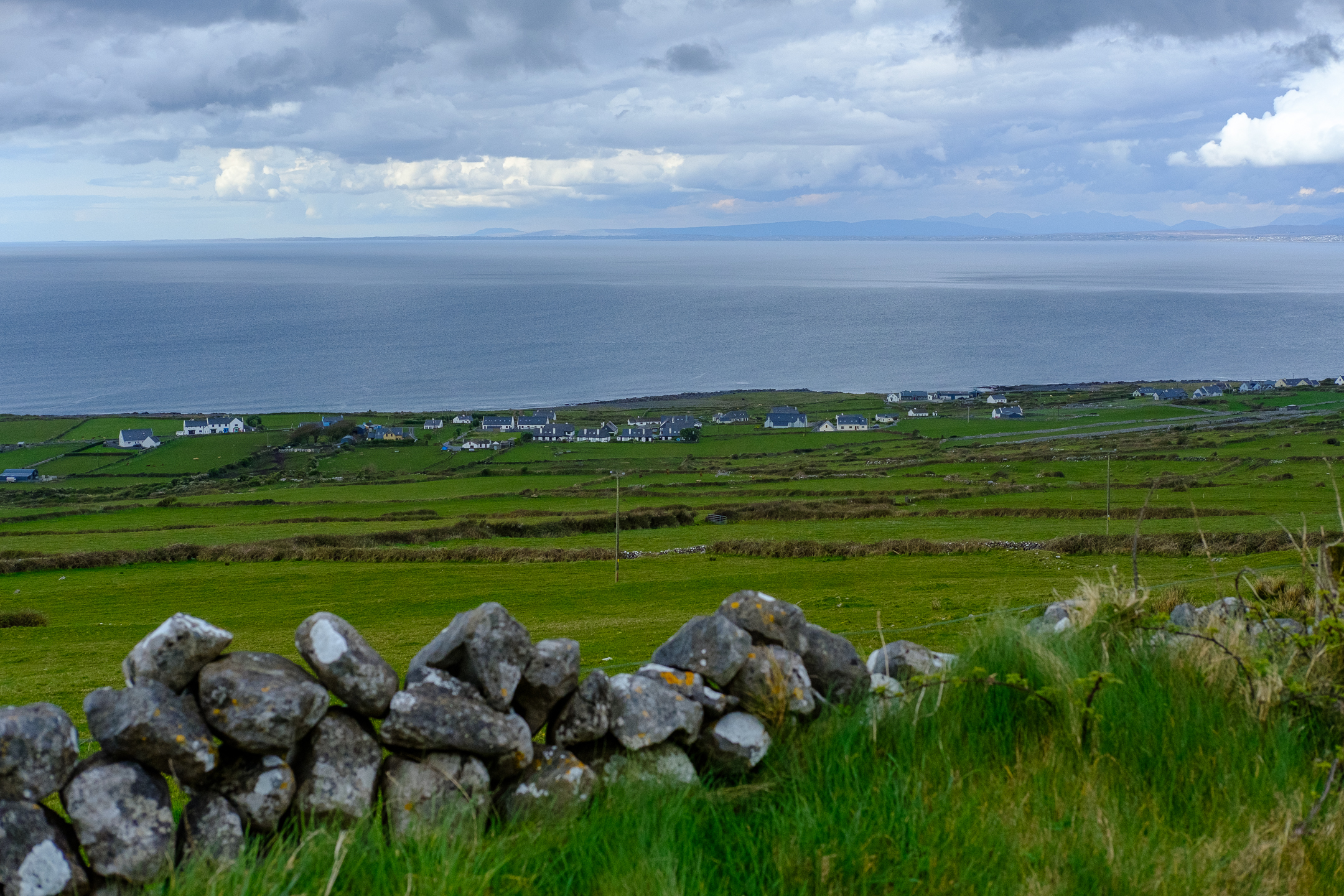
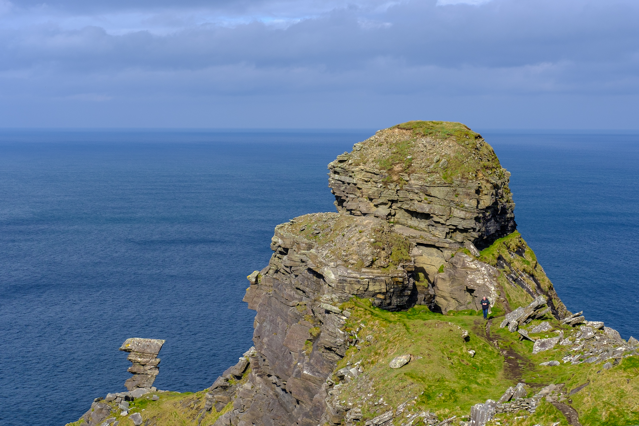
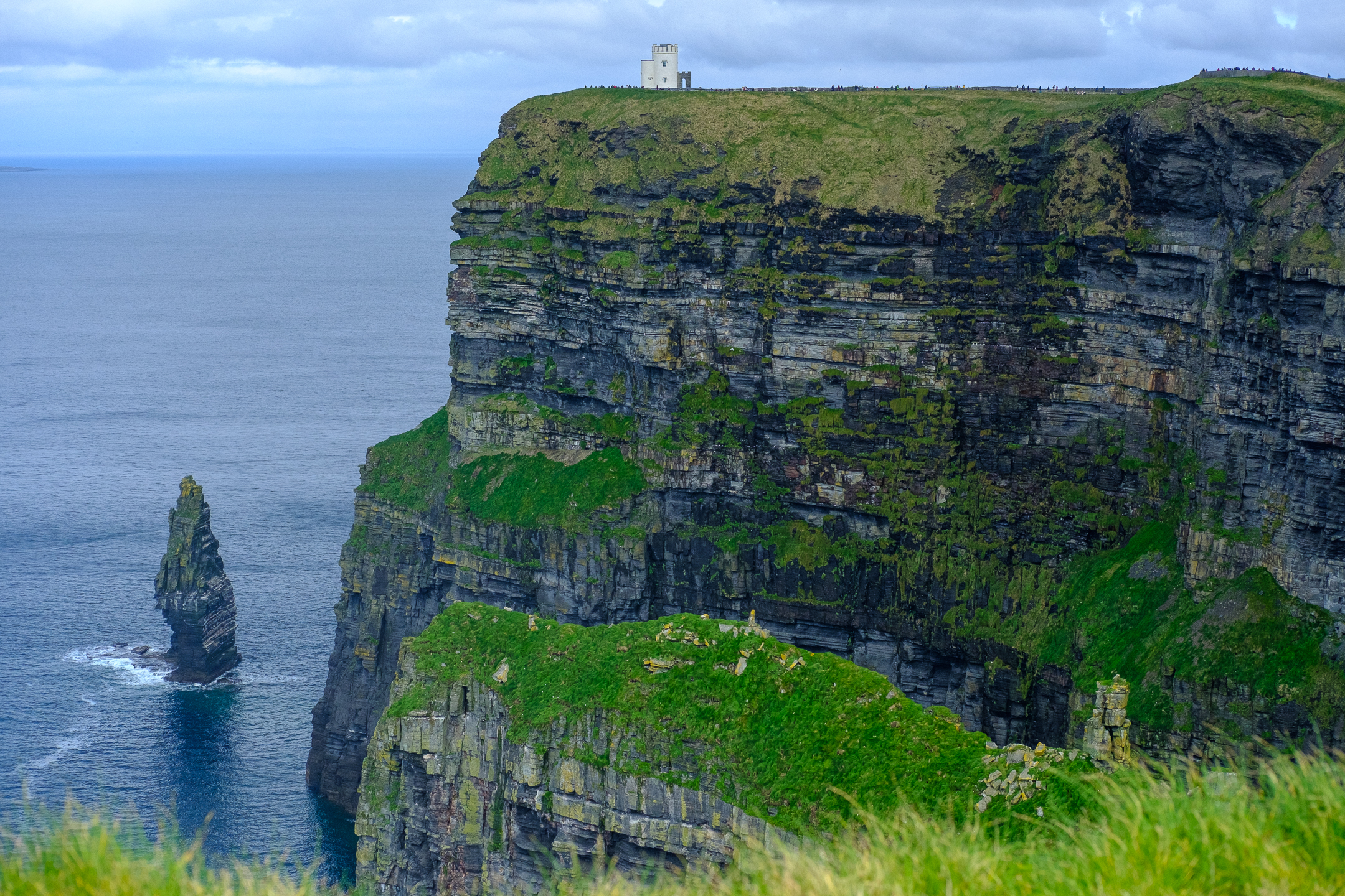
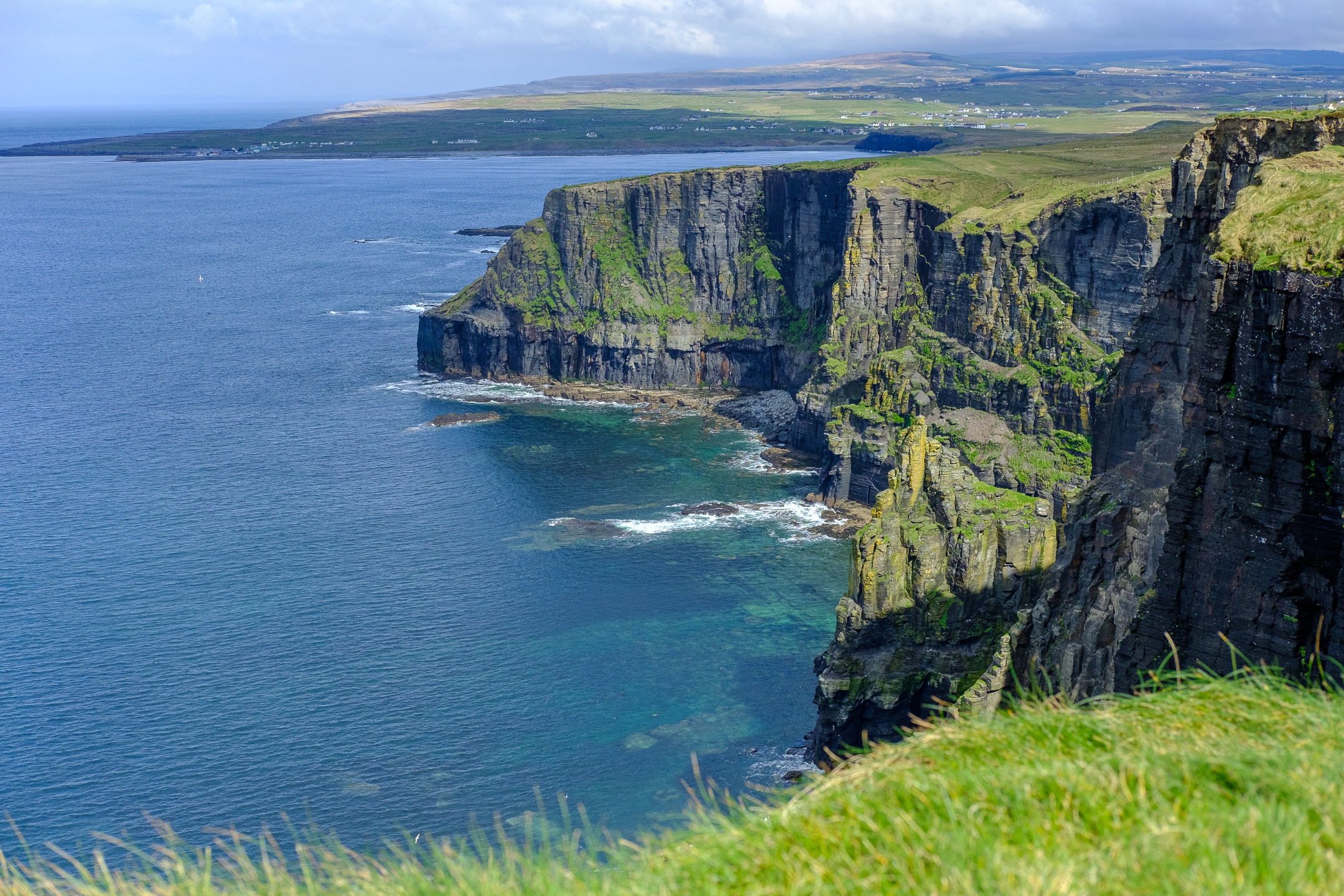
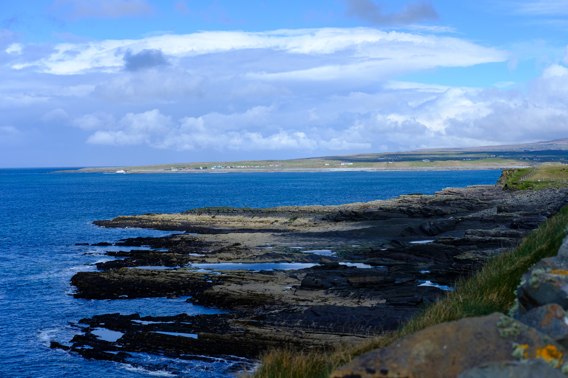
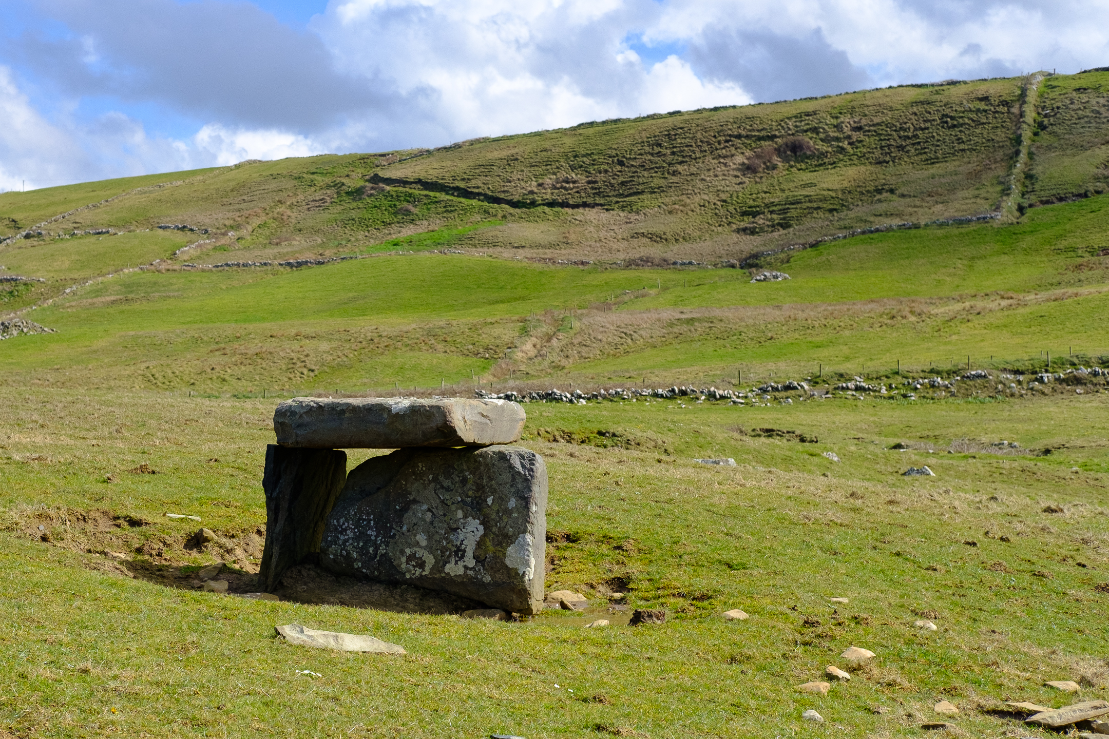
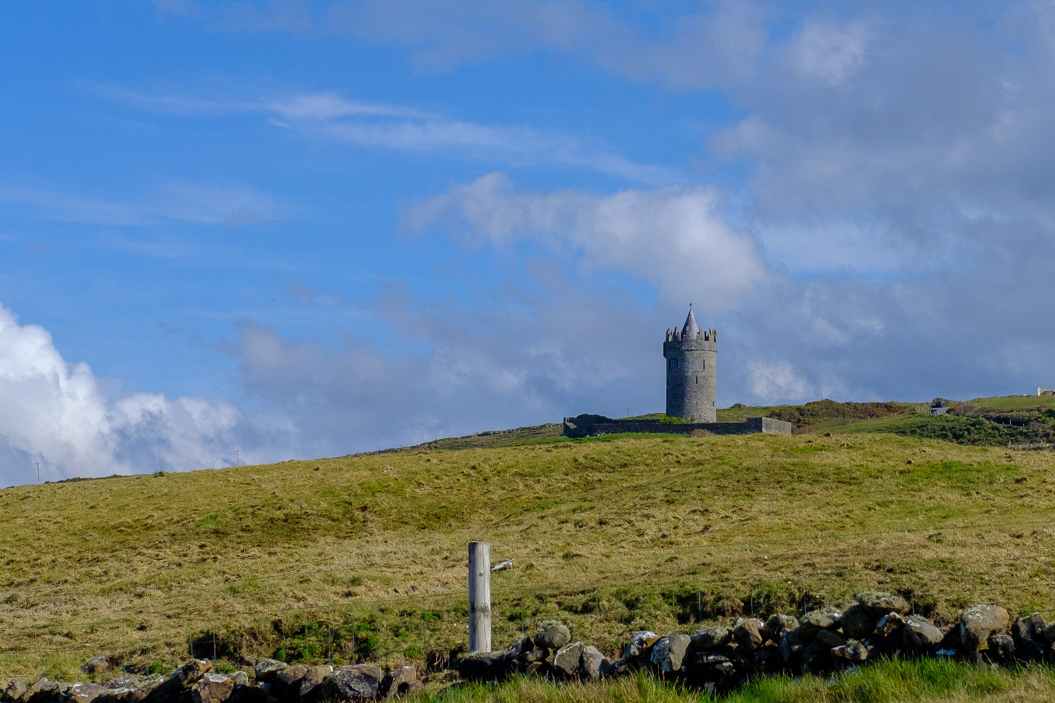
What a vast variety of landscapes I saw! Cliffs, karst limestone, hazel trees, mossy rocks, plateaus, rivers, turloughs, lakes, flowers breaking out of their winter slumber… So much to see! I thought Ireland would be mainly rolling green hills. I saw them, of course, and much much more!

Weather:
As I type this in the cafe connected to my hostel in Salthill, Galway, Storm Kathleen blows frantically while dumping buckets of rain on the already soaked land. I was SO FORTUNATE to have almost perfect weather while trekking. Even with a bit of wind and rain for the first half of yesterday’s hike, for the most part, I had cool yet dry and calm weather.
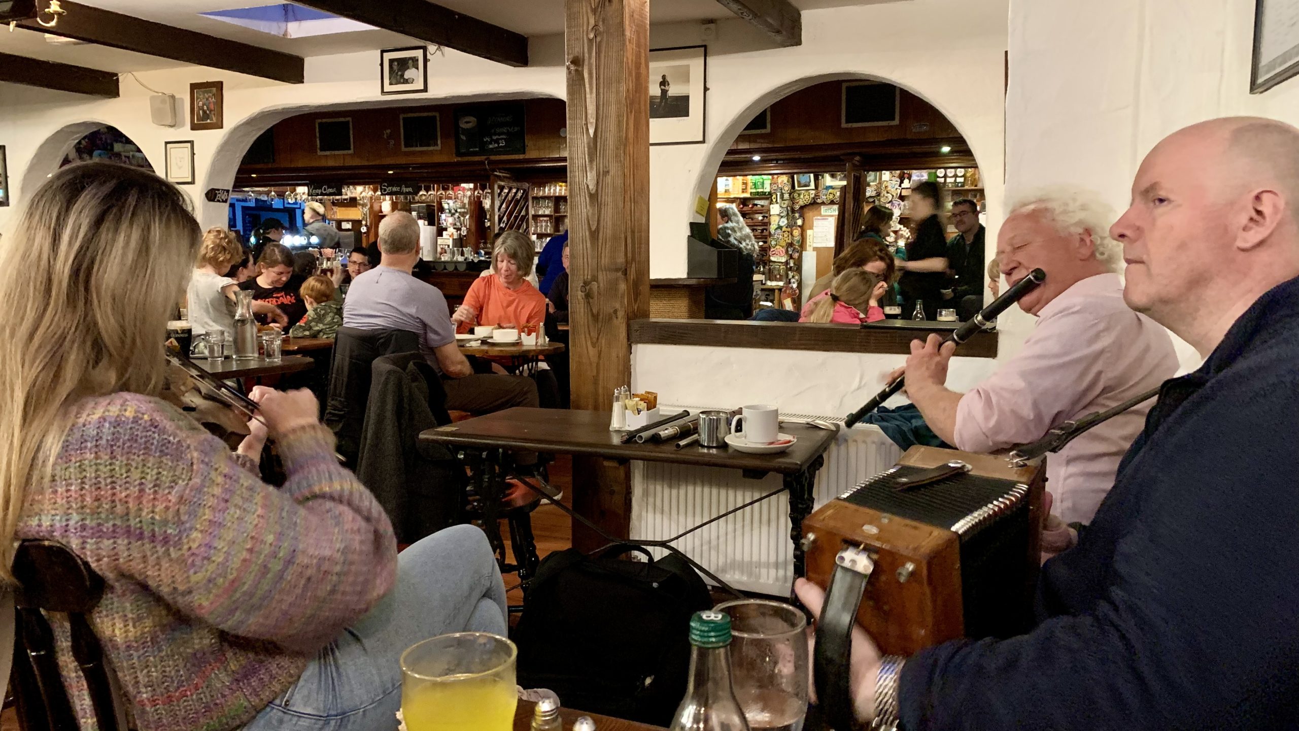
People:
After the crowds of Belfast and Dublin, I saw so few people on my hike (other than Cliffs of Moher, of course!). The people I did meet along the trails, at my hotels, in the pubs were all wonderful to chat with. Some were tourists, many were locals, all were kind, friendly, and helpful.
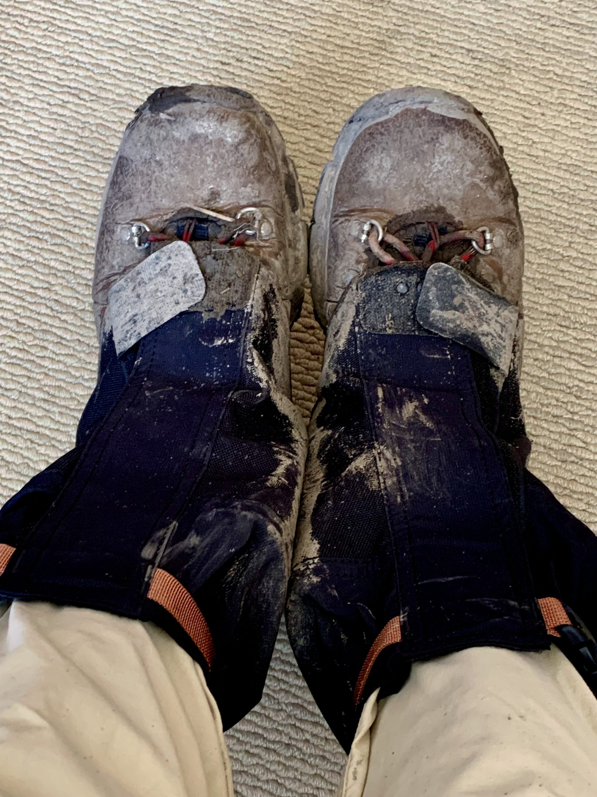
Gear:
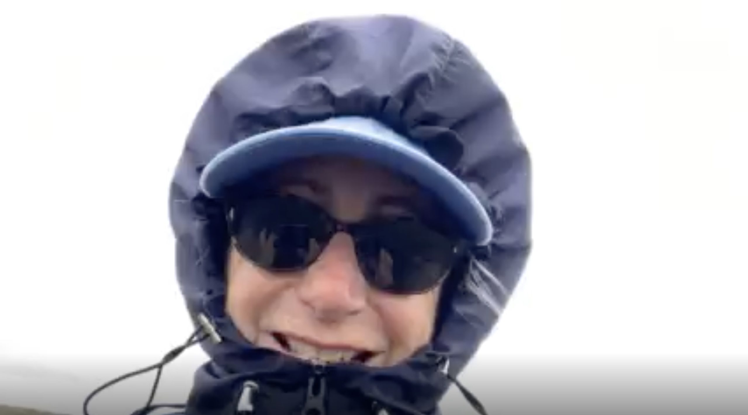
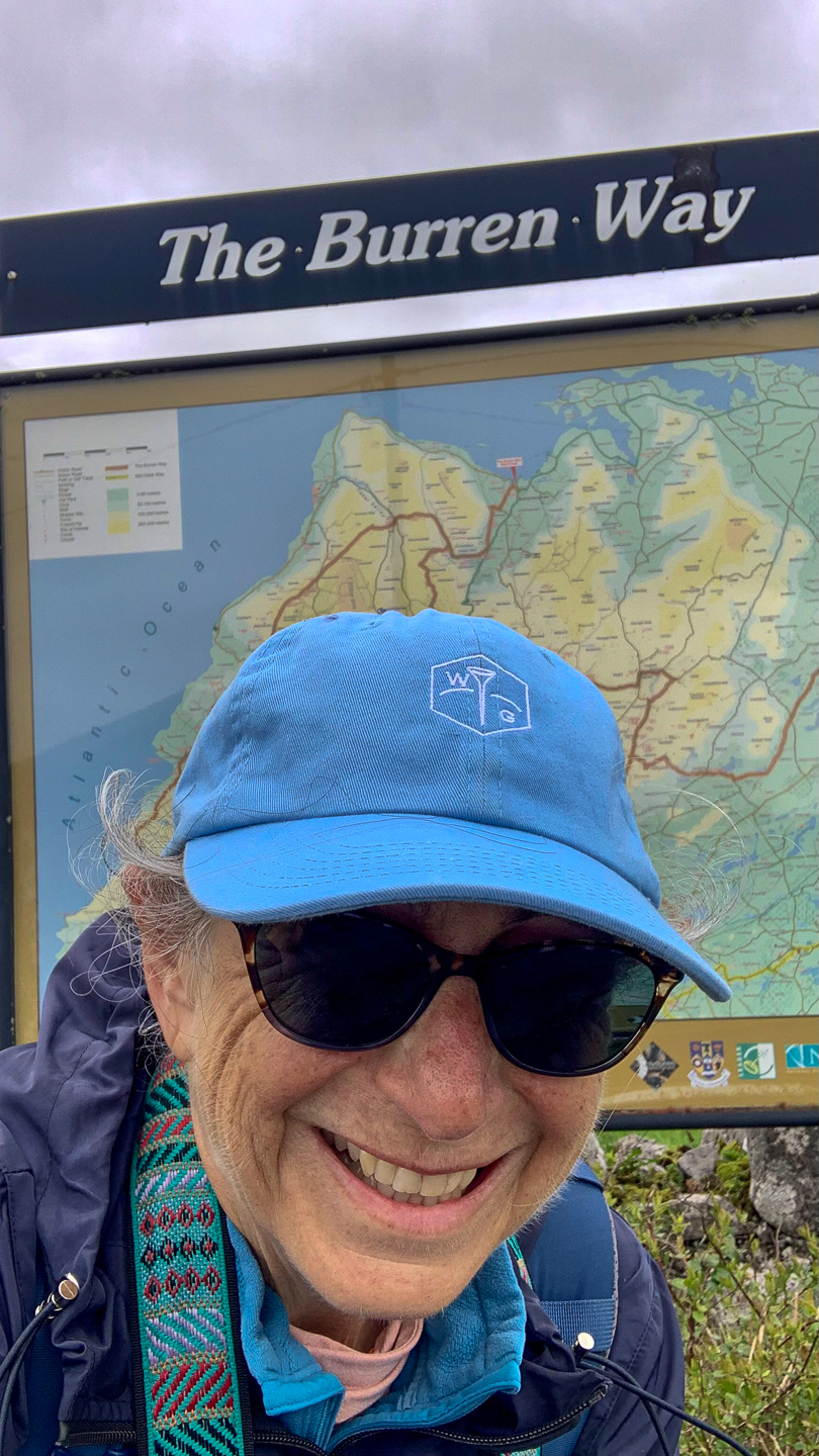
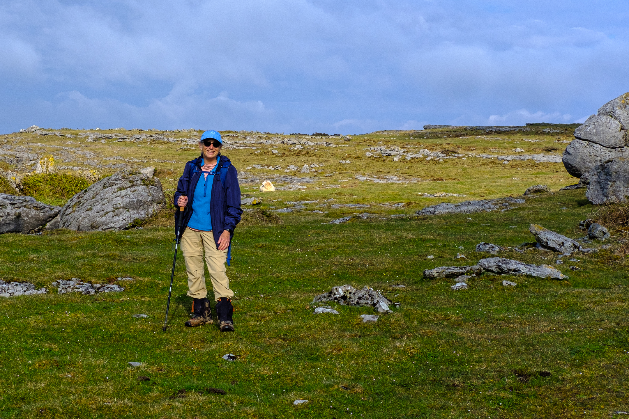
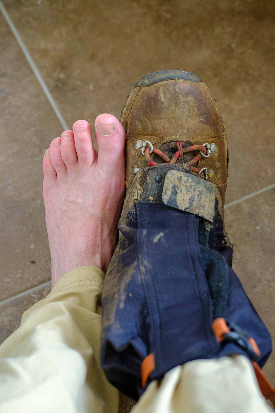
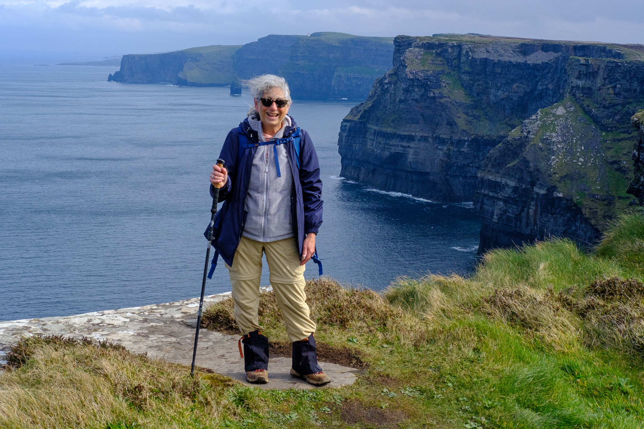
I’m trying to think if there’s anything I wish I brought that I didn’t bring… Perhaps a better raincoat…? Mine is rain resistant to a point. After a bit, water seeps through. Although I brought a poncho, I found the pockets in my raincoat much more practical. Also, when the weather necessitated it, I could easily enclose my camera in my coat and retrieve it once the shower ended.  As for gear I brought that I wish I left at home, I only used one trekking pole, which kept my other hand free to grab my camera, hold the route notes, etc.  I didn’t use the compass or binoculars which live in my backpack.  I loved having a baseball cap for general conditions and a knit hat and gloves for those cold mornings and late afternoons.  And gaiters!  OMG!  My waterproof hiking boots coupled with gaiters made the mucky mud much easier to traverse!

Photos:
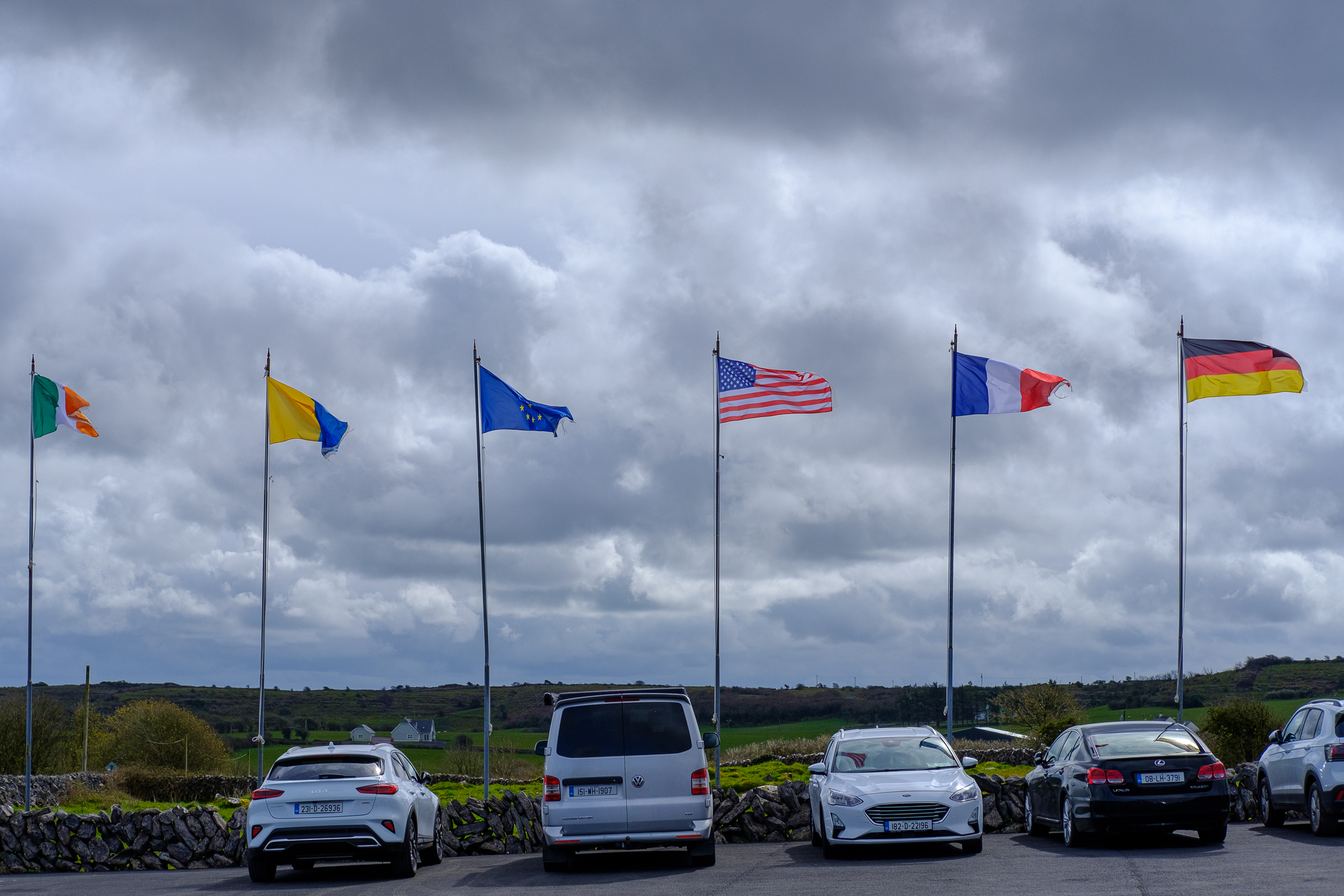
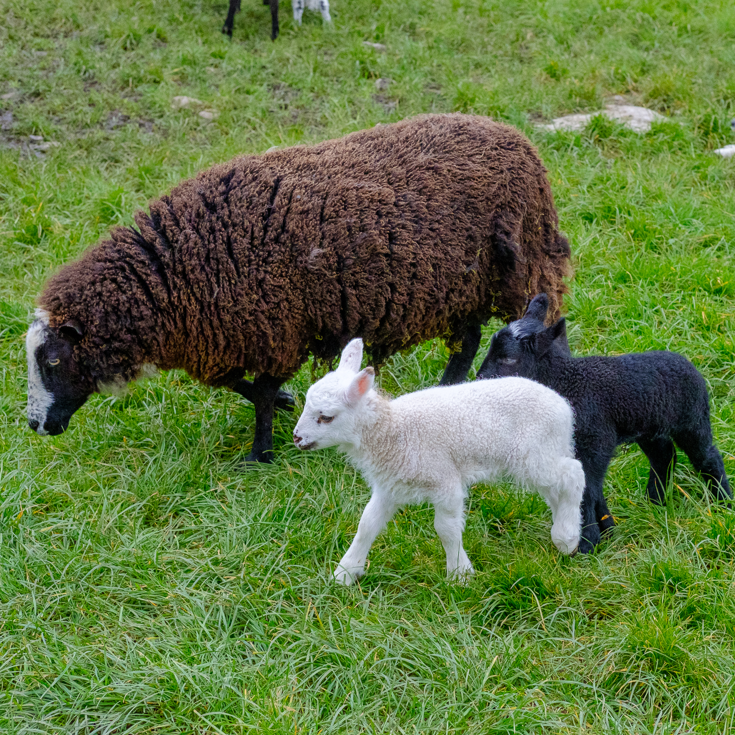
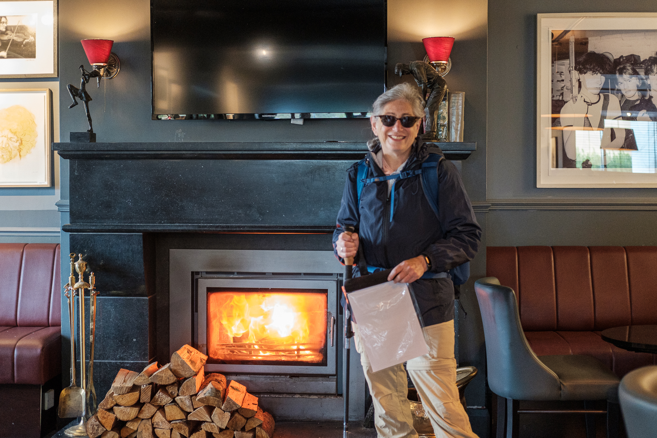
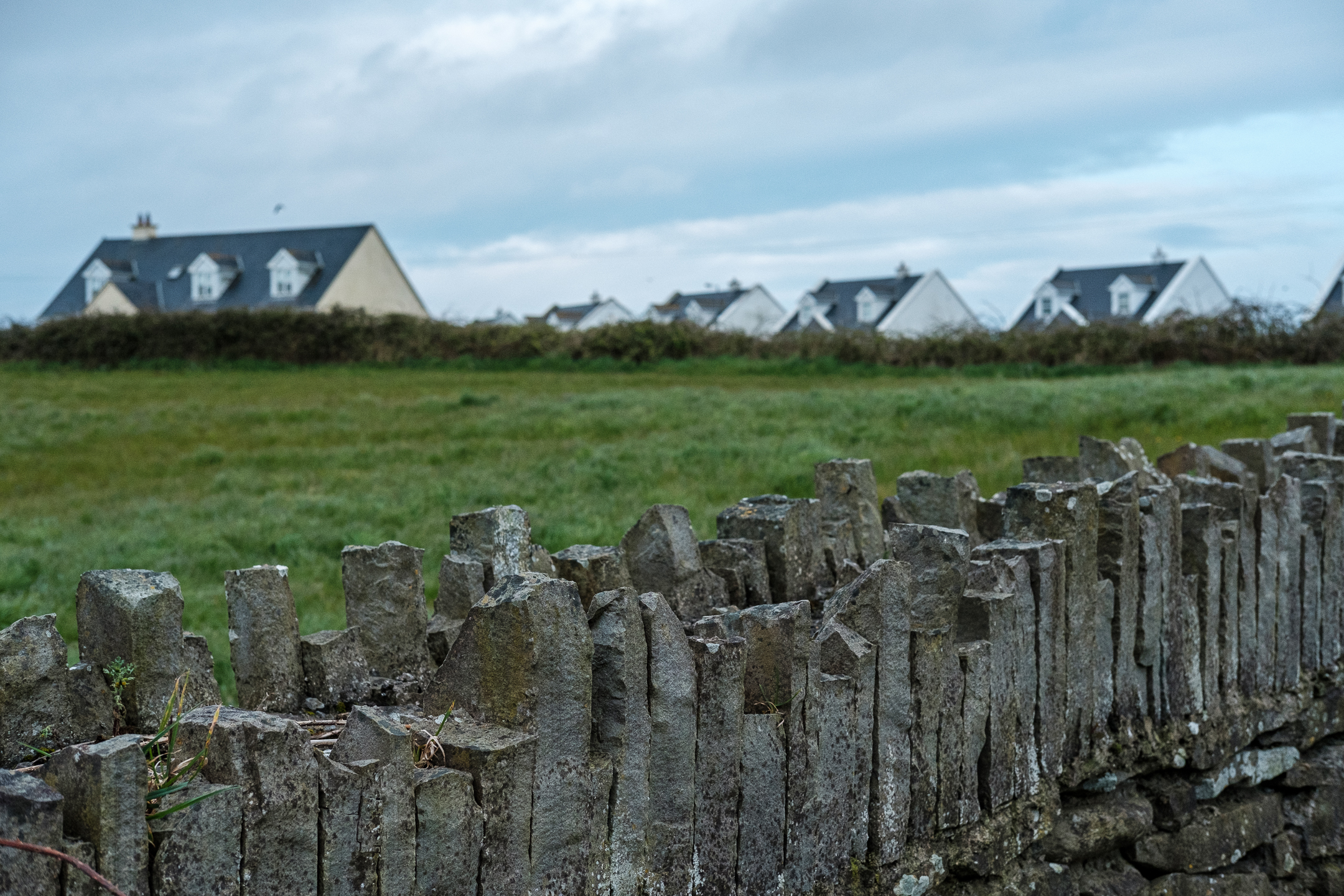
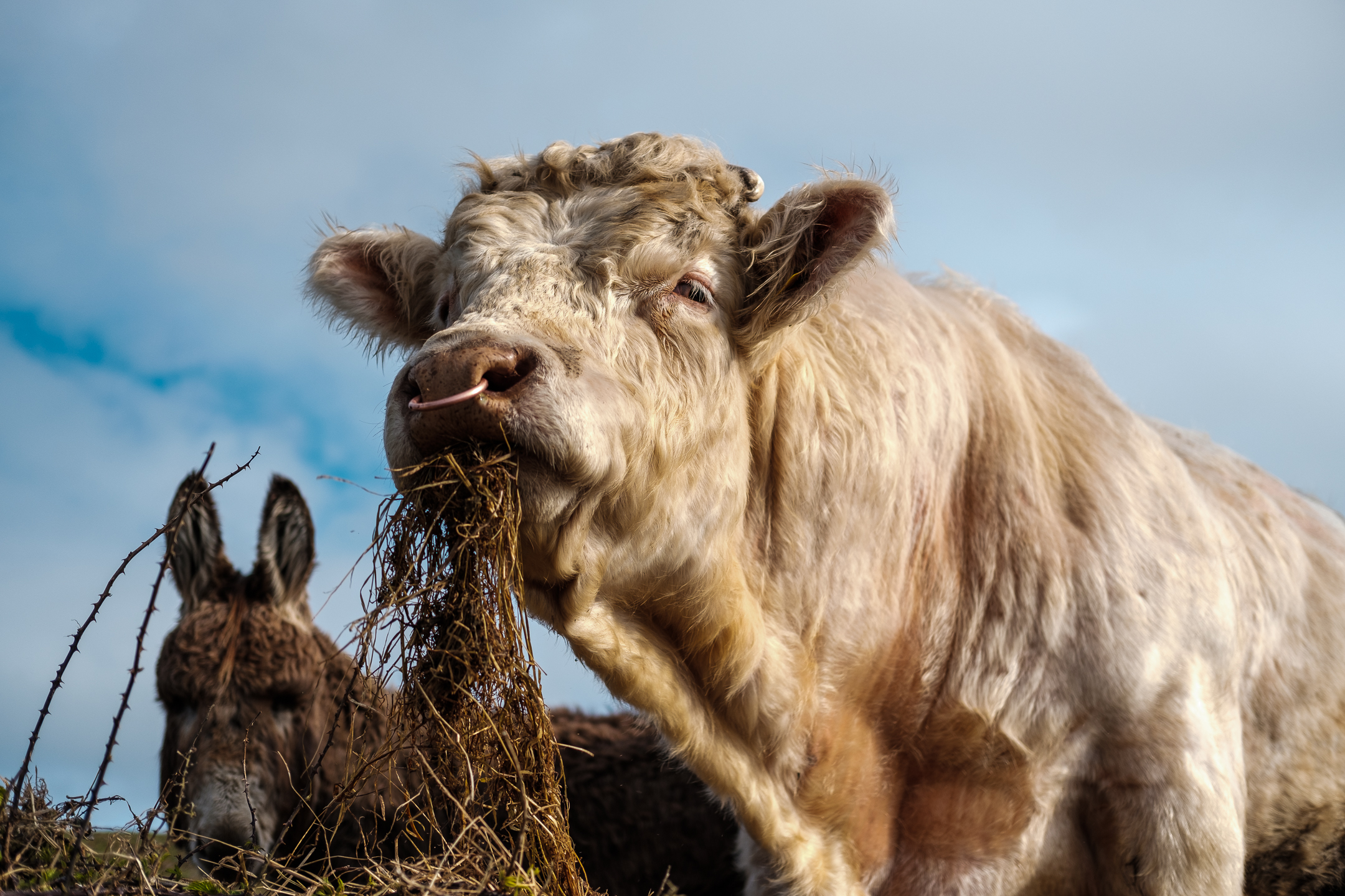
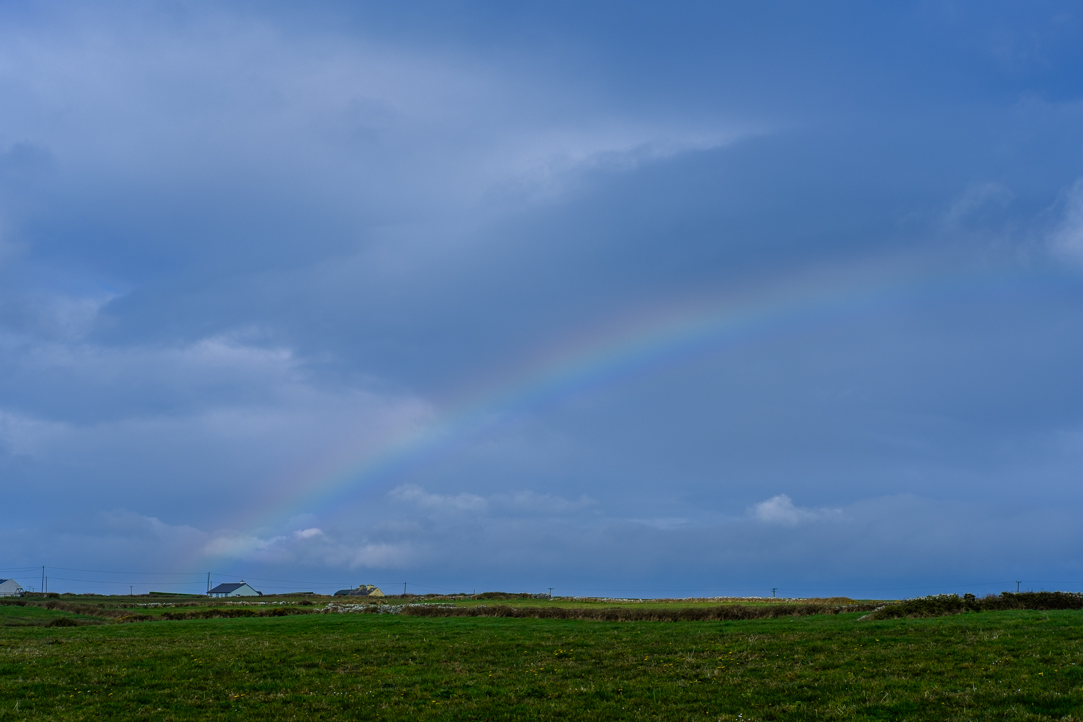
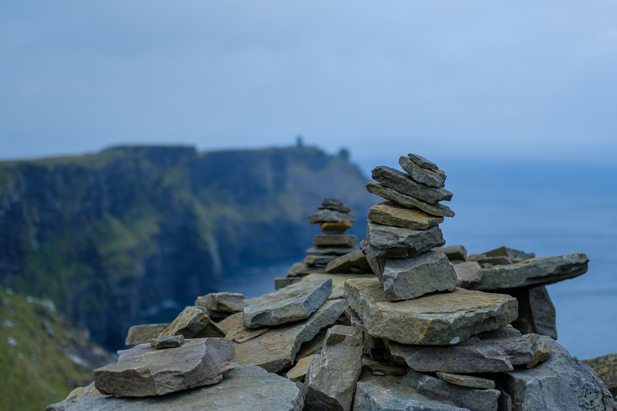
Now, to try to pick out my favorite photo from each day… 🙂  I think the five I selected showcase the variety and beauty, both natural and humanmade, that I experienced on my journey.

Day 1:  Liscannor to Doolin


Day 2:  Doolin to Fanore


Day 3:  Fanore to Ballyvaughan


Day 4:  Ballyvaughan to Carran


Day 5:  Carran to Corofin

During the past five days, I’ve walked over 70 miles!

Today’s trek, although the shortest (“only” 13.25 miles), was also the rainiest.  I guess the weather fairies decided I needed to experience the rain and wind of Ireland to make my hike complete.

The vista at the start of my final day of trekking – so many colors!


Turlough – along with my little yellow companion

(A turlough is a seasonal or periodic water body found mostly in limestone karst areas of Ireland, west of the River Shannon)


Hazel woodlands


Triple walled cliff fort of Cahercommaun


Creevagh Wedge Tomb (I had to climb over three rock walls and through a field to find it)


Parknabinnia Wedge Tomb – located on the side of the road in Commons North


Yep, it was quite windy today (click on the photo for a quick video)

 
Chatting with a local woman in the pub tonight, she told me these are goats and not sheep 🙂


Ah!  A waterfall flowing into Lough Inchiquin!  (Click on photo for a link to my waterfall video.)


The end of the trail!


Seventy miles completed and still smiling!

Today’s 13 mile hike from Ballyvaughan to Carran was so much EASIER than yesterday’s trek from Fanore to Ballyvaughan!  Not only did the weather, although overcast, stay dry and mild, but also the climbs and trail were so much smoother than yesterday’s.

The scenery was rocky at times with lots of big boulders


Abundant limestone


Limestone landscape dotted with windswept trees


The reason I take off my boots before entering my hotel and put them on just before exiting


“Bog road” with black shale rock in the trail


Peat, a scarce commodity in the Burren, is dried and used as heating material


The lush green slopes of the small valley of Lissylisheen


A much less muddy trail – rock walls on the sides


6,000-year-old Poulnabrone Portal Tomb, the most famous dolmen in Ireland


Flags at the entrance to Caherconnell Stone Fort – no British or Northern Ireland flag…


Sheepdog demonstration at Caherconnell Stone Fort – four border collies each responding to her own voice commands and whistles – I can see why border collies need work to do – it’s bred into them


A ewe and her twin lambs – same pregnancy with the same ram


Caherconnell Stone Fort, one of three ringforts on today’s expedition

Maybe because I didn’t sleep well last night, even though I was tired.  Maybe because today was my third “half marathon” in a row.  Maybe just ’cause.

But I was tired on my trek today.  Nothing over the top.  Just slow and steady.

There were so many terrains and vistas, which kept me motivated.  Ocean views, climb to a mountain gap, narrow dirt trails, green roads (grass covered), limestone rocks to scuttle over, mucky mud to try to skirt, minor roads, cattle, alpacas, sheep, lambs… Today’s hike had it all.  🙂

Alpacas at the start of the hike in Fanore


Jim and Cathy (from Minnesota) and I leap-frogged all day – they took this pic of me


Black Head – the northwestern-most part of this peninsula


Not alone on the trail!


Looking back towards Fanore from Black Head


A bit of the gnarly trail


Gleninagh Castle


One of many stiles I climbed over


Limestone rock wall


Farmhouse – cool to see after climbing a mountain with a trail similar to Lizzie/Bowden Ranch in SLO


These two lambs kept a close eye on me


Springtime in Ireland


Newtown Castle


Hazel woodland


Tired feet, dirty boot and gaiter – I was so fortunate not to have rain today.  Even with all of the mud, rain would have made today’s trek so much more difficult!

Today’s hike, slightly shorter than yesterday’s at “only” 12 miles, took me first to Doolin Cave and then through farmland to the village of Fanore.  Happily, although the sky looked threatening, no rain today.

Addendum:  Although there was a light drizzle, I headed to O’Connors pub at about 6:30 for a pint and a bowl of chowder.  Thinking I’d be too tired to stay up past 9pm to listen to music, I was surprised when my bartender said the music started at 8pm.  Enjoying my Murphy’s stout and reading my book, I noticed the table next to me receiving a “reserved” sign…and a few minutes later, the band showed up.  What a treat to listen to and chat with the band, who played only a few feet from me.  I mentioned that I sang The Wheels on the Bus, Emmett’s current fave, while hiking today – and they, of course, had to play it!  Later, these two high school students asked if they could join in for a true O’Connors session.  Another fun Irish evening!

View of Cliffs of Moher just outside my BnB


Throughout my trek, there are many ruins mixed in with newer buildings


A short detour took me to Doolin Cave which boasts the largest stalactite in the world at over seven meters long


Stalactite soda straws


Heather, found all along the trail


Farmhouse


Atlantic Ocean with a tower in the distance


A waymarker for the Burren Way


As the trail meandered and with no one around me, I sang at full volume!


The village of Fanore


Trad music in O’Connors Pub

Yesterday morning, after a fabulous week of traveling together, I gave Ben, Kait, Grey, and Emmett big hugs and took a taxi, two trains, one bus, and another taxi from Kilkea Castle to Liscannor for the start of Phase 3 of my Irish Adventure.

For this phase, I’m hiking the Burren Way.  Scheduled through Hillwalk Tours, I’m on a weeklong (seven days – which is really six nights with five hiking days 😊) supported self-guided trek in western Ireland.

Today’s 13 mile walk from Liscannor to Doolin took me through the beautiful Cliffs of Moher.  With only a slight drizzle for part of the way, the view was incredible.  The mud…also incredible!  🤣

In my Liscannor hotel, ready to begin my hike

 
Liscannor


On the trail, I saw cattle and sheep


I couldn’t find a pot o’ gold at the end of the rainbow!


Hag’s Head, the beginning of the Cliffs of Moher


Signal tower built during Napoleonic times by the British government


Mid-hike with Cliffs of Moher in the background


Cairns and the cliffs


Cliffs of Moher


Tide-pool


Rocks…?  They seem to be too small to be a tomb marker…


Doonagore Castle, a round 16th-century ‘tower house’


These boots (and gaiters!) were made for walking…through lots and lots of mud!