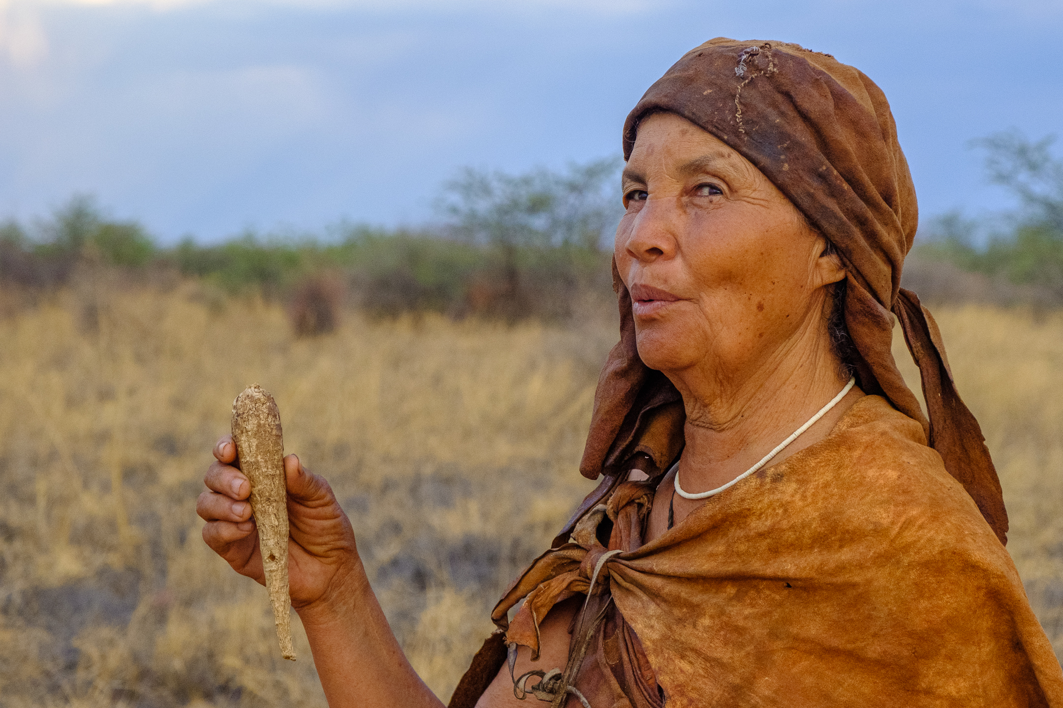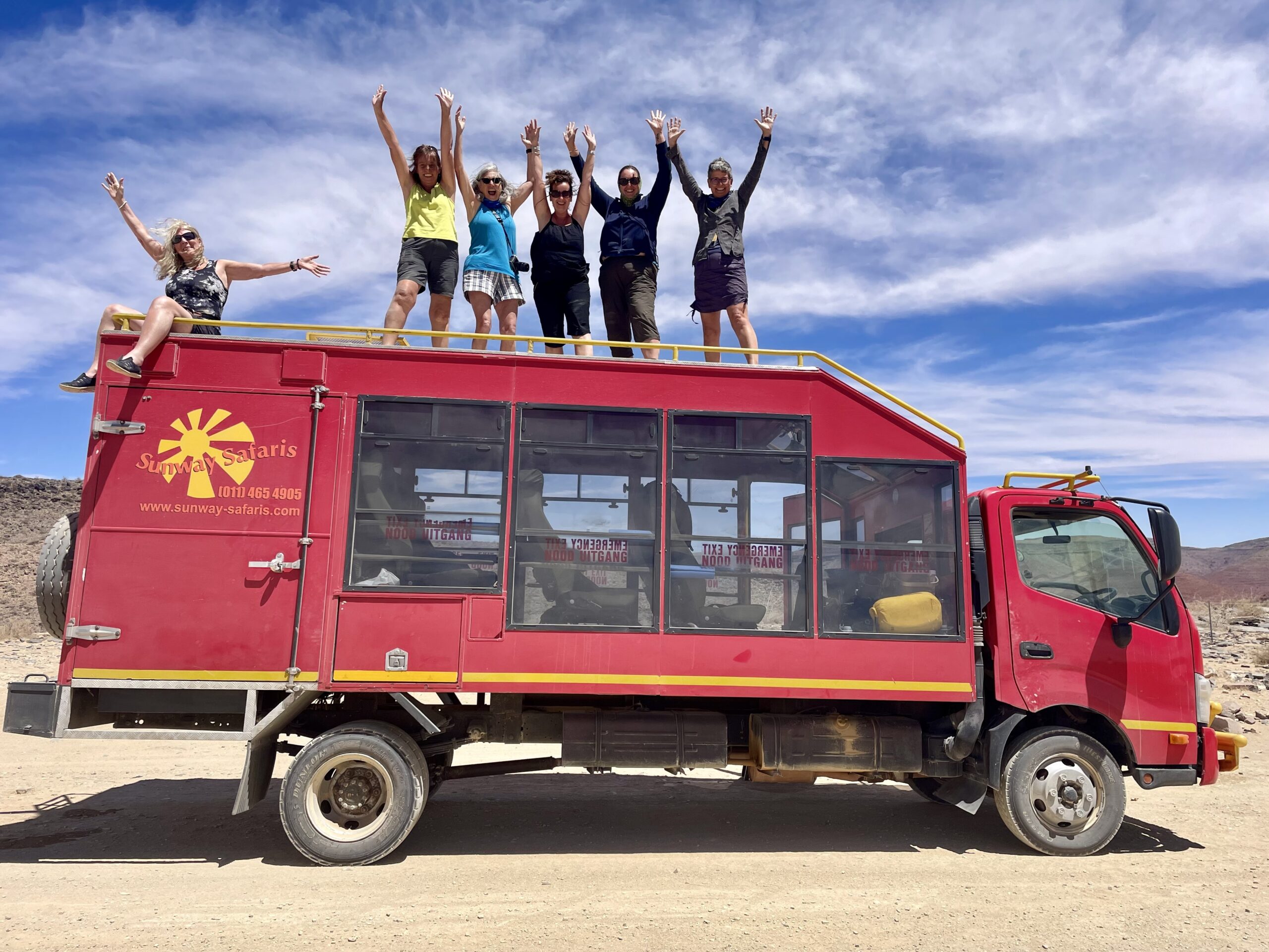
This journey comprised not one, not two, but really THREE adventures.
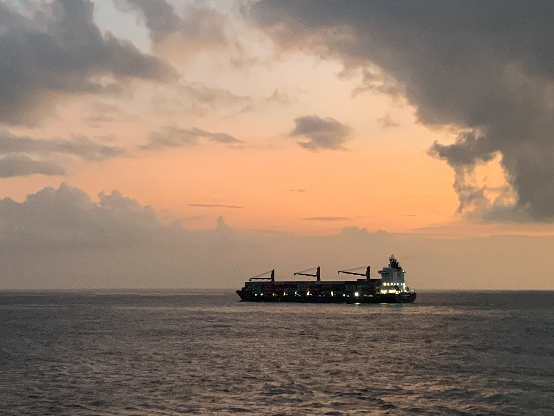
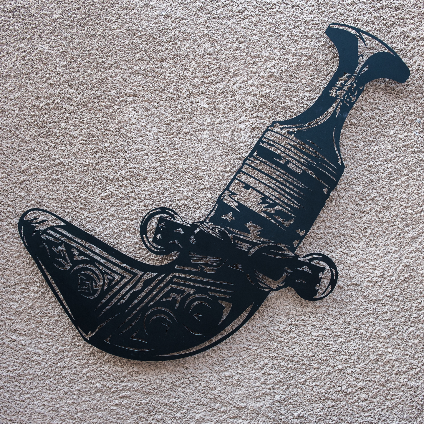
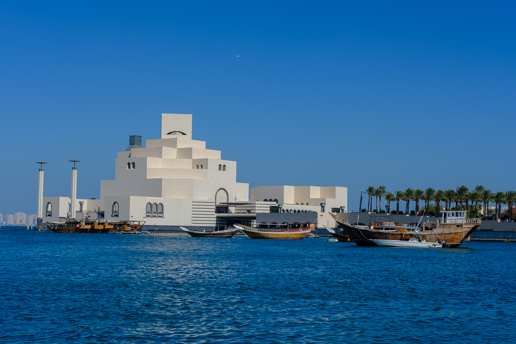
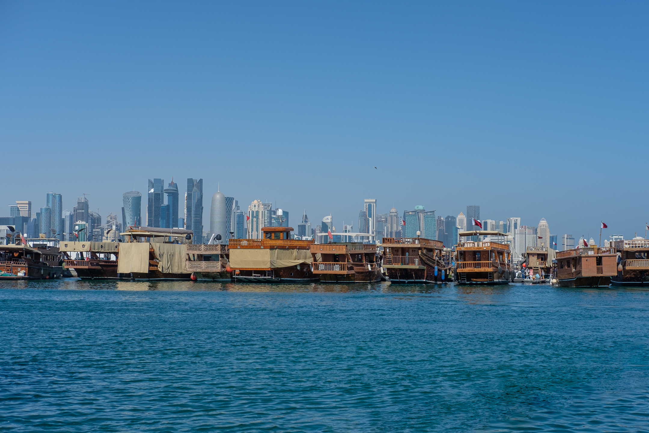
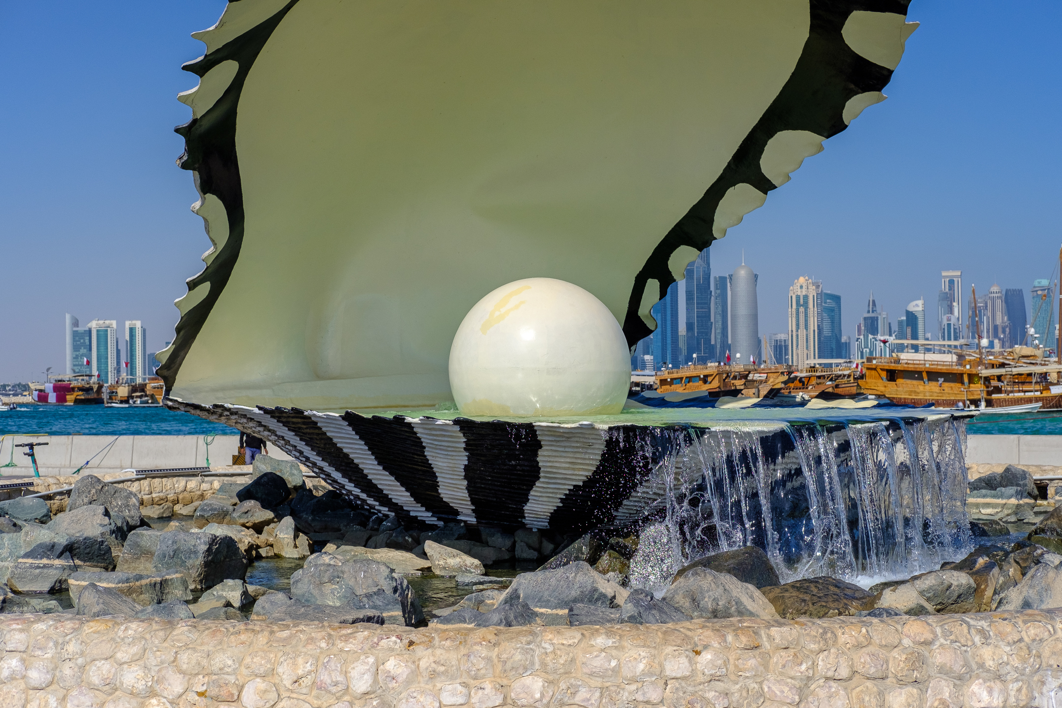
Arabian Sea

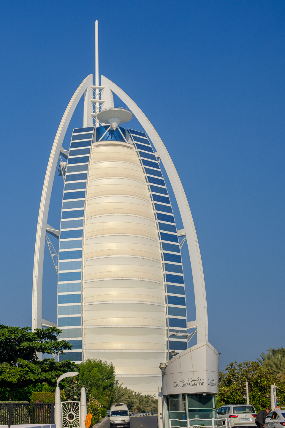
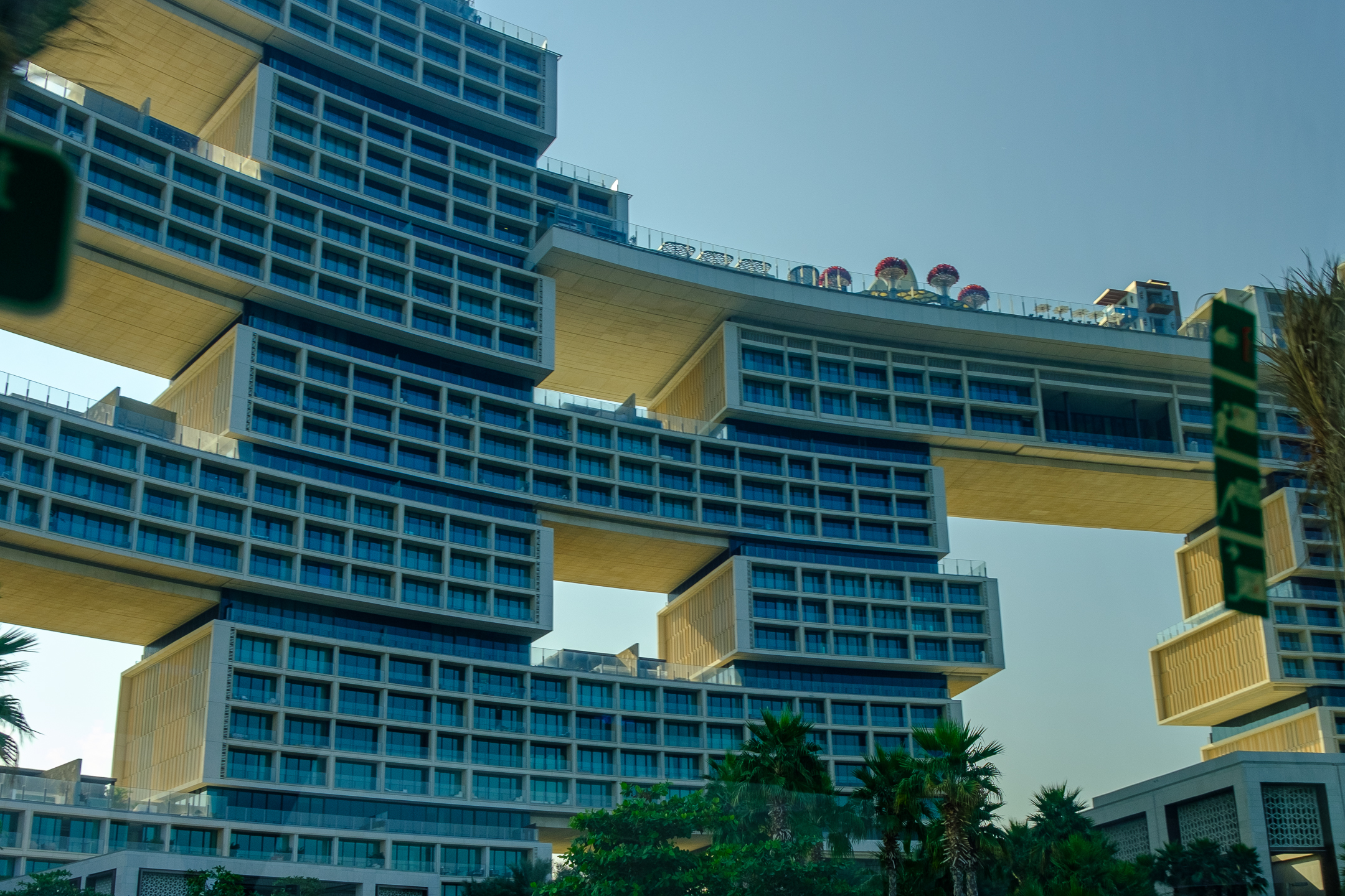
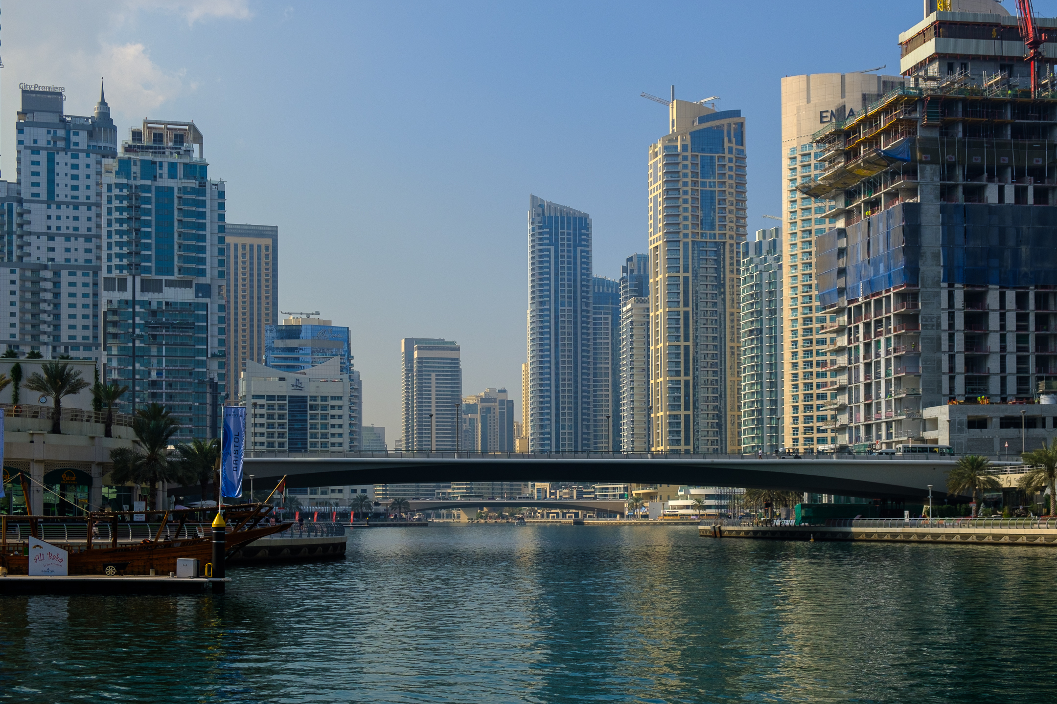
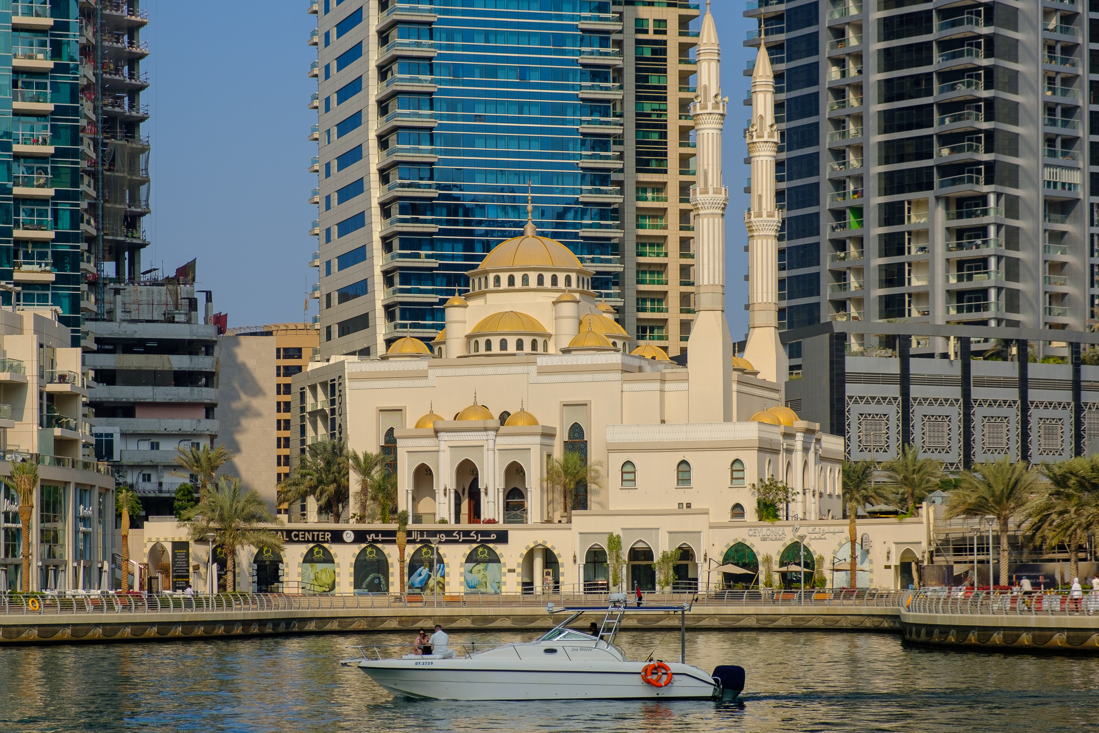
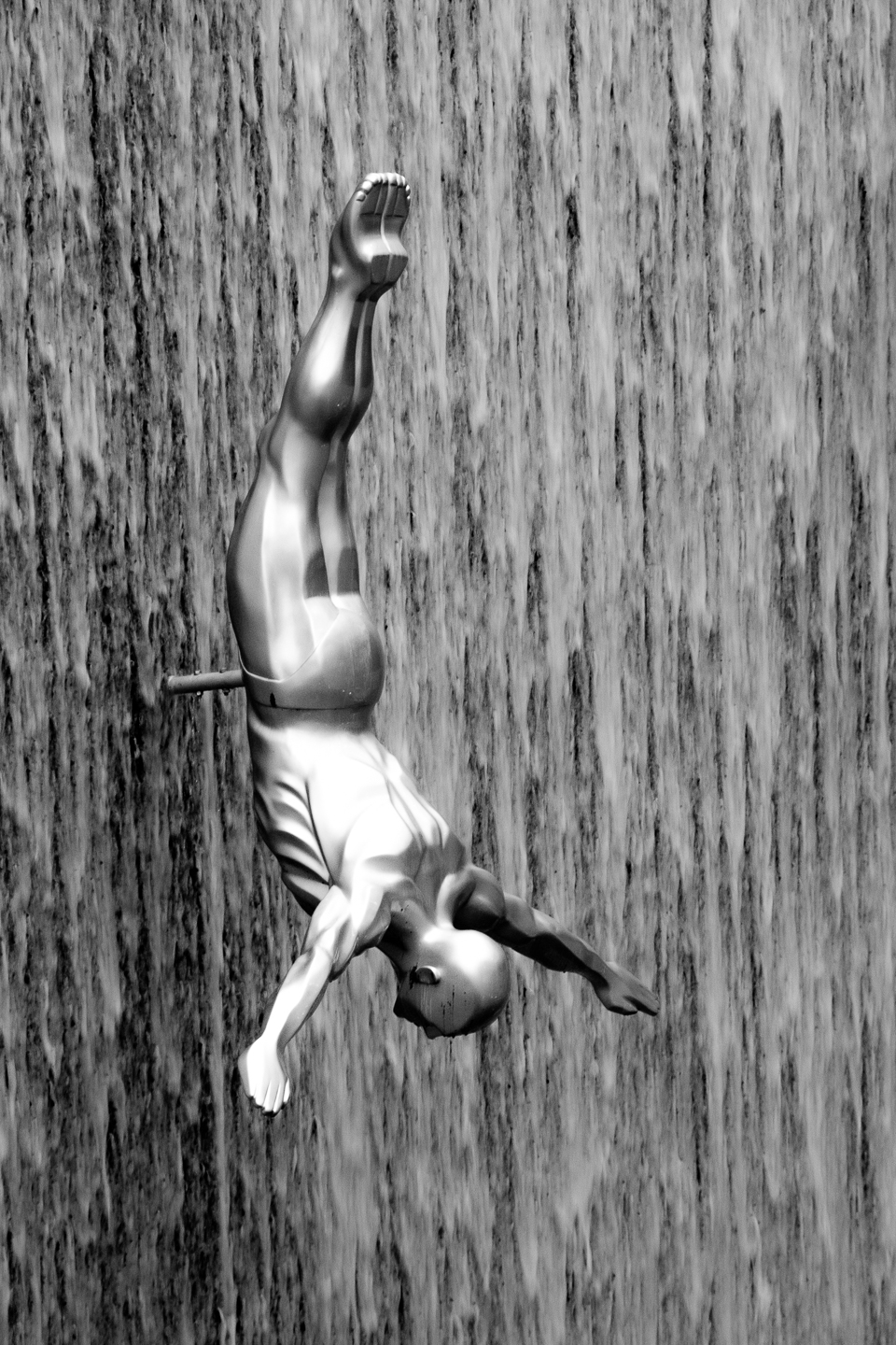
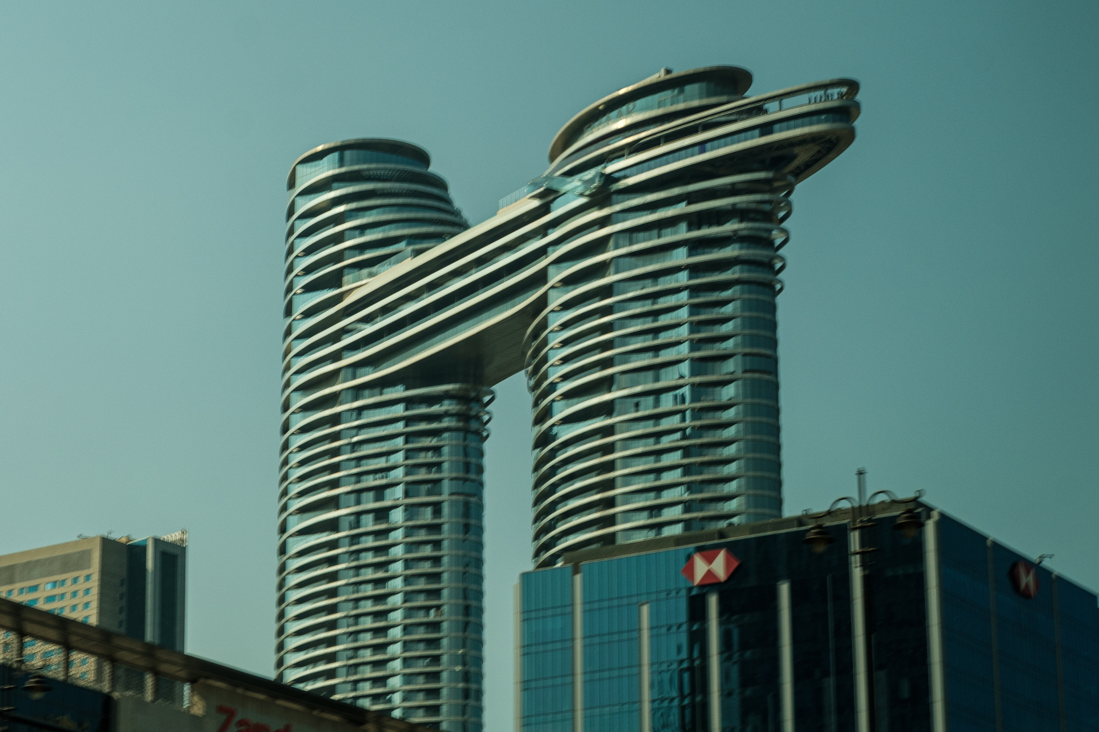
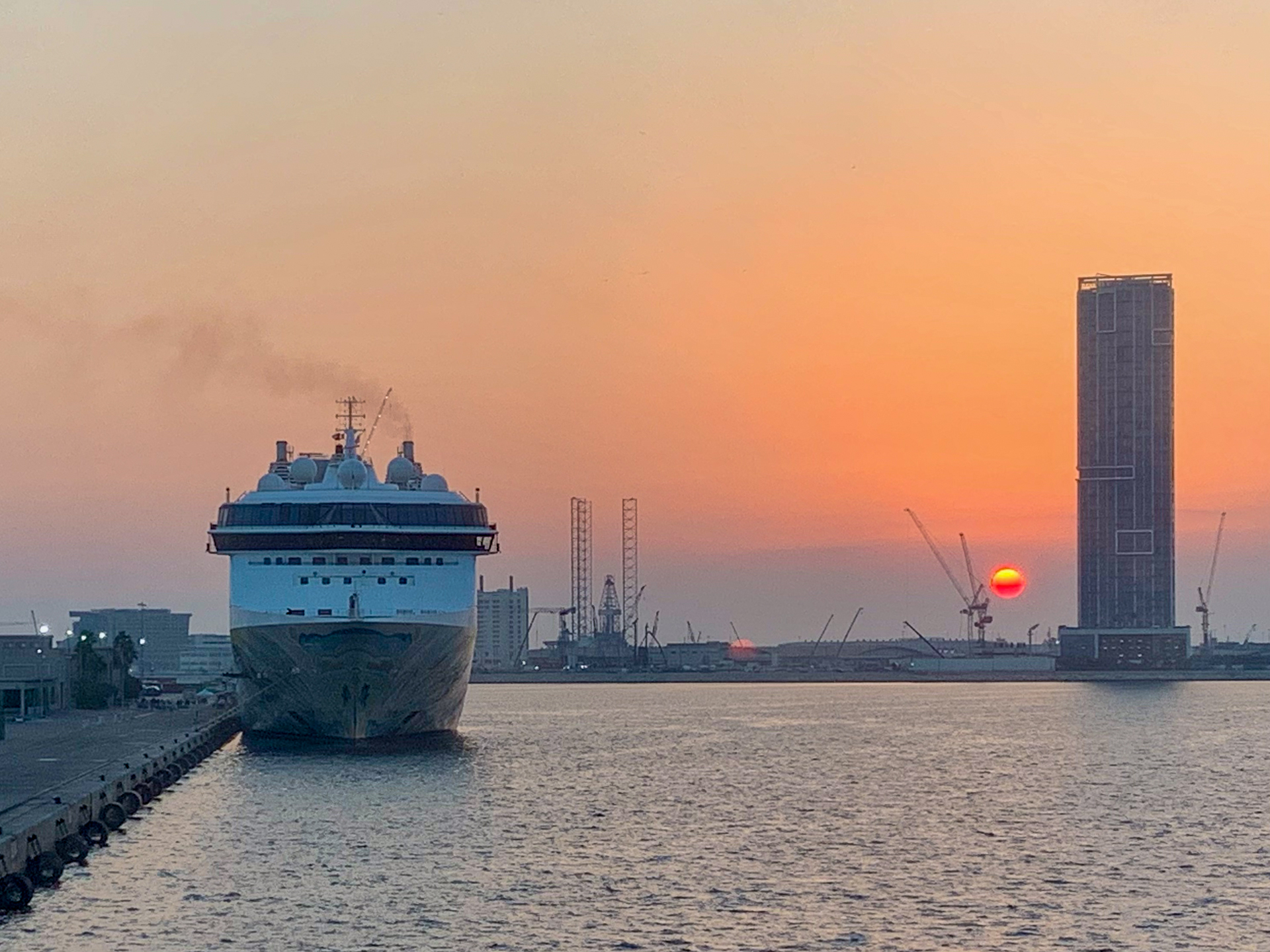
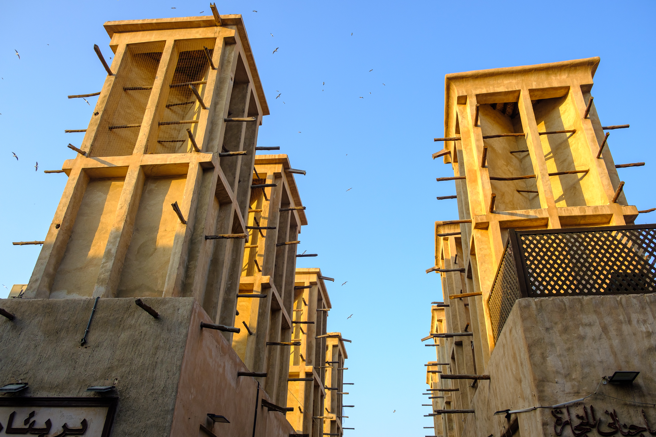
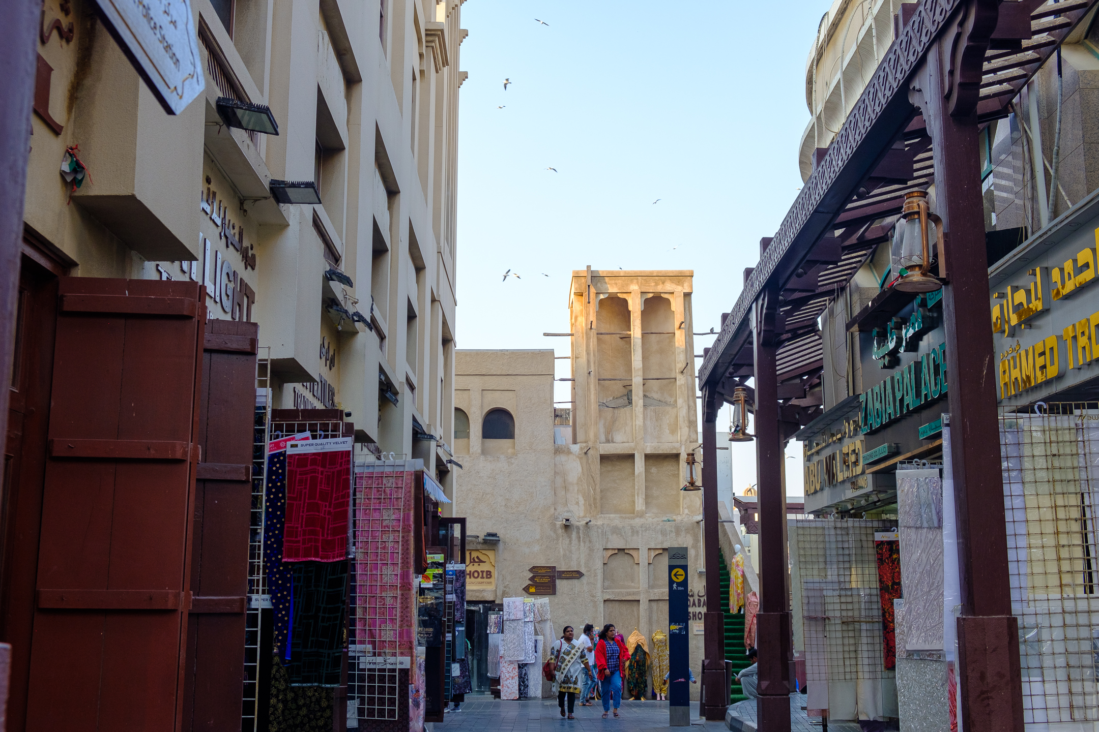
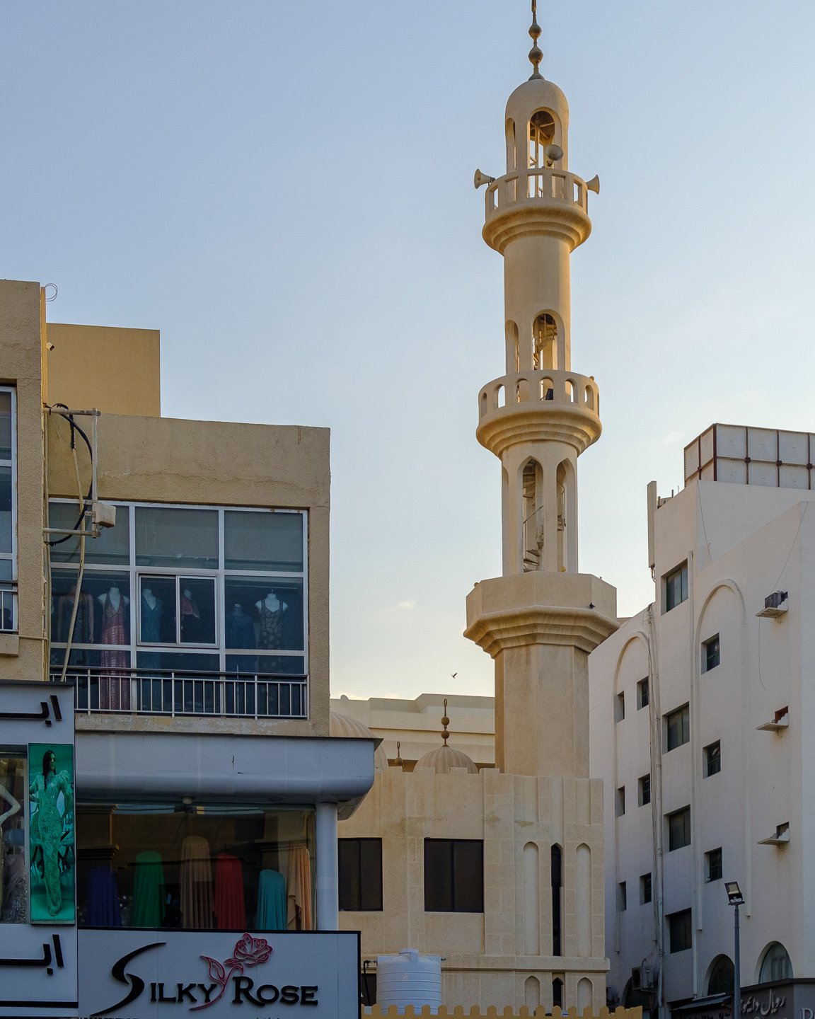
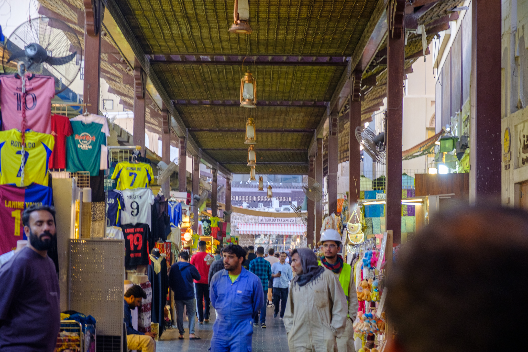
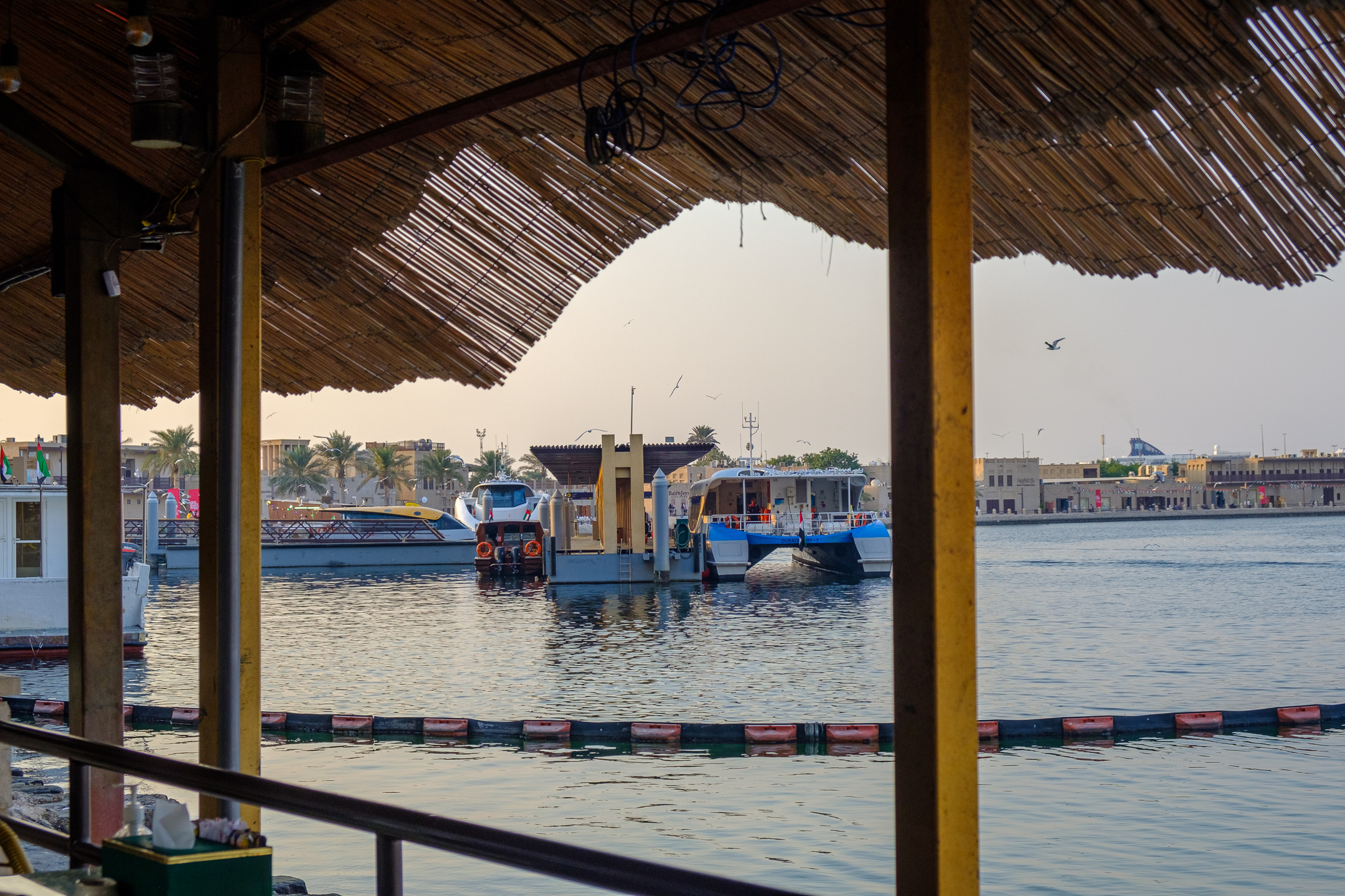
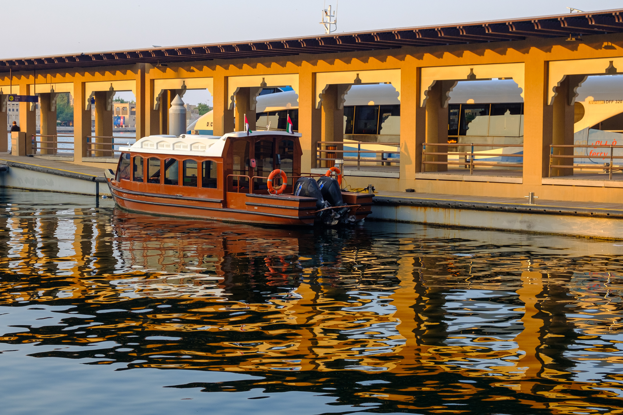
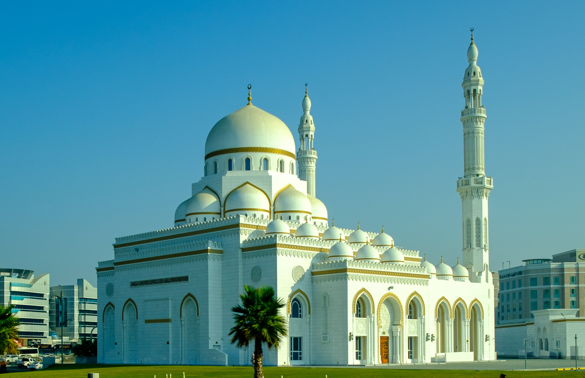
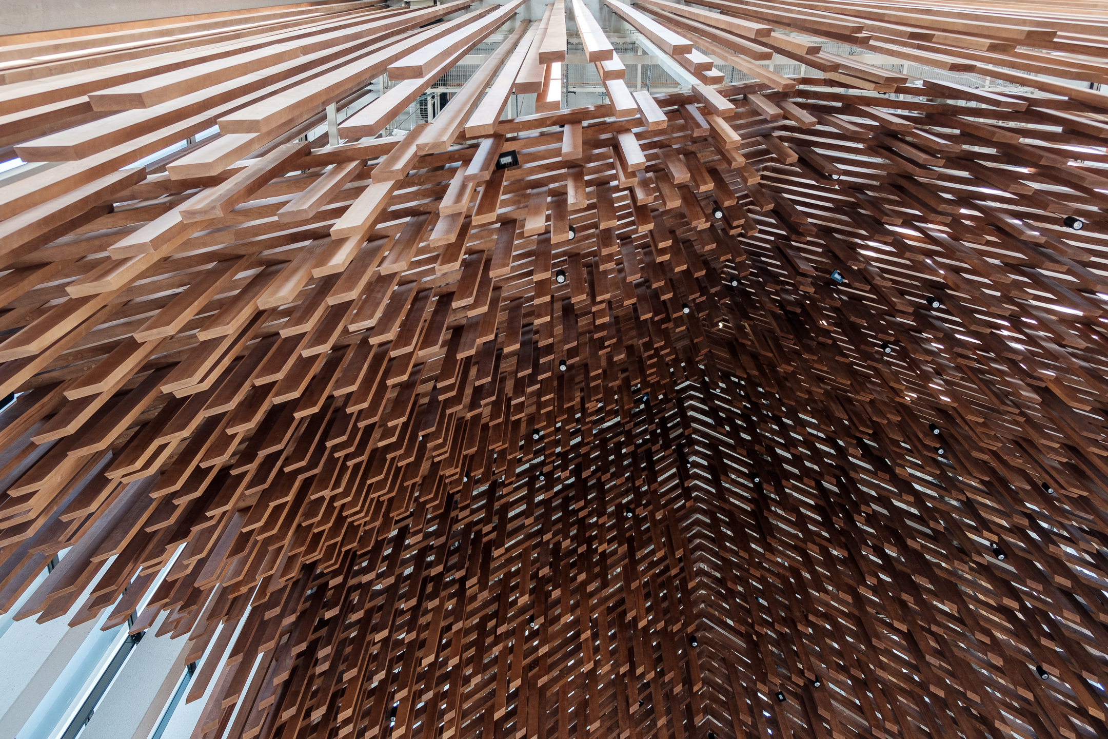
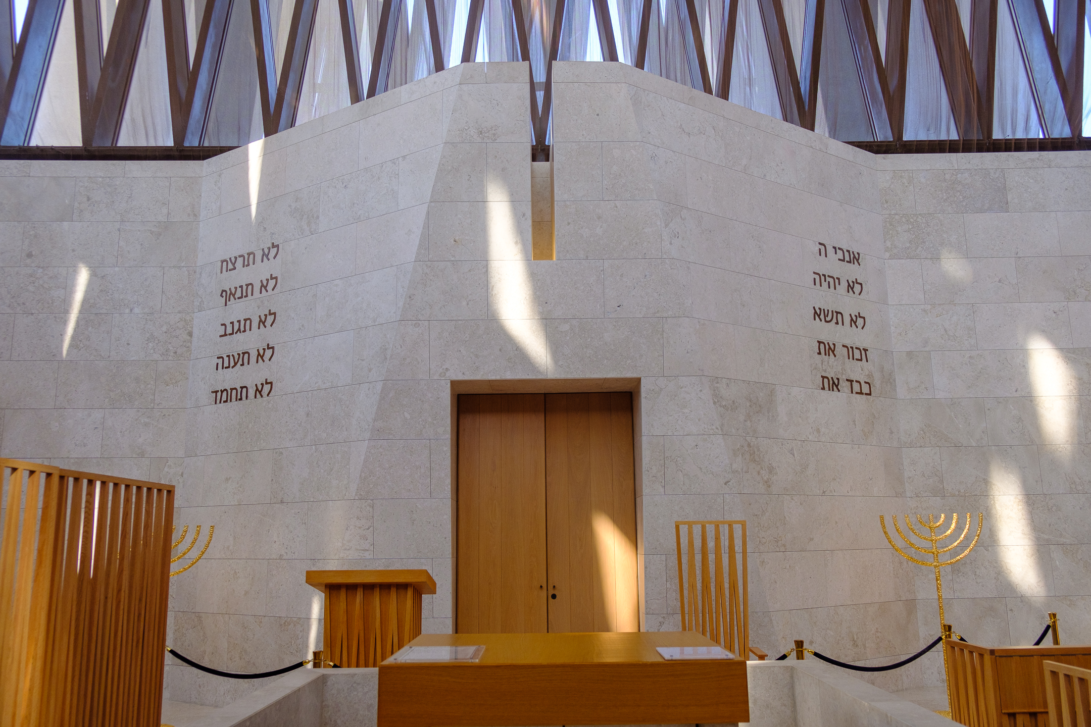
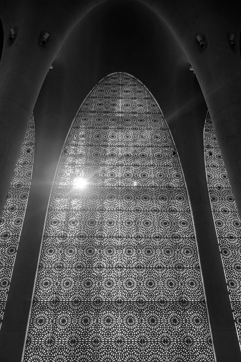
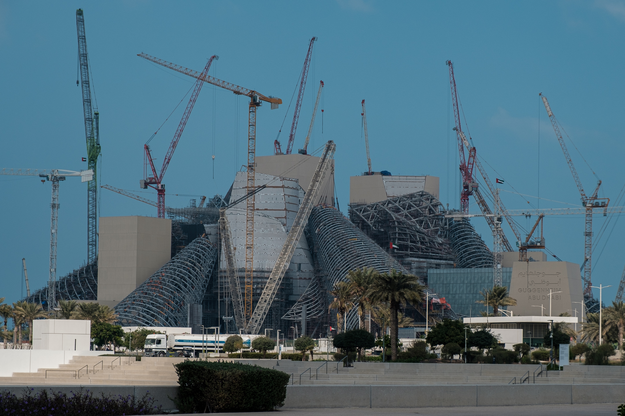
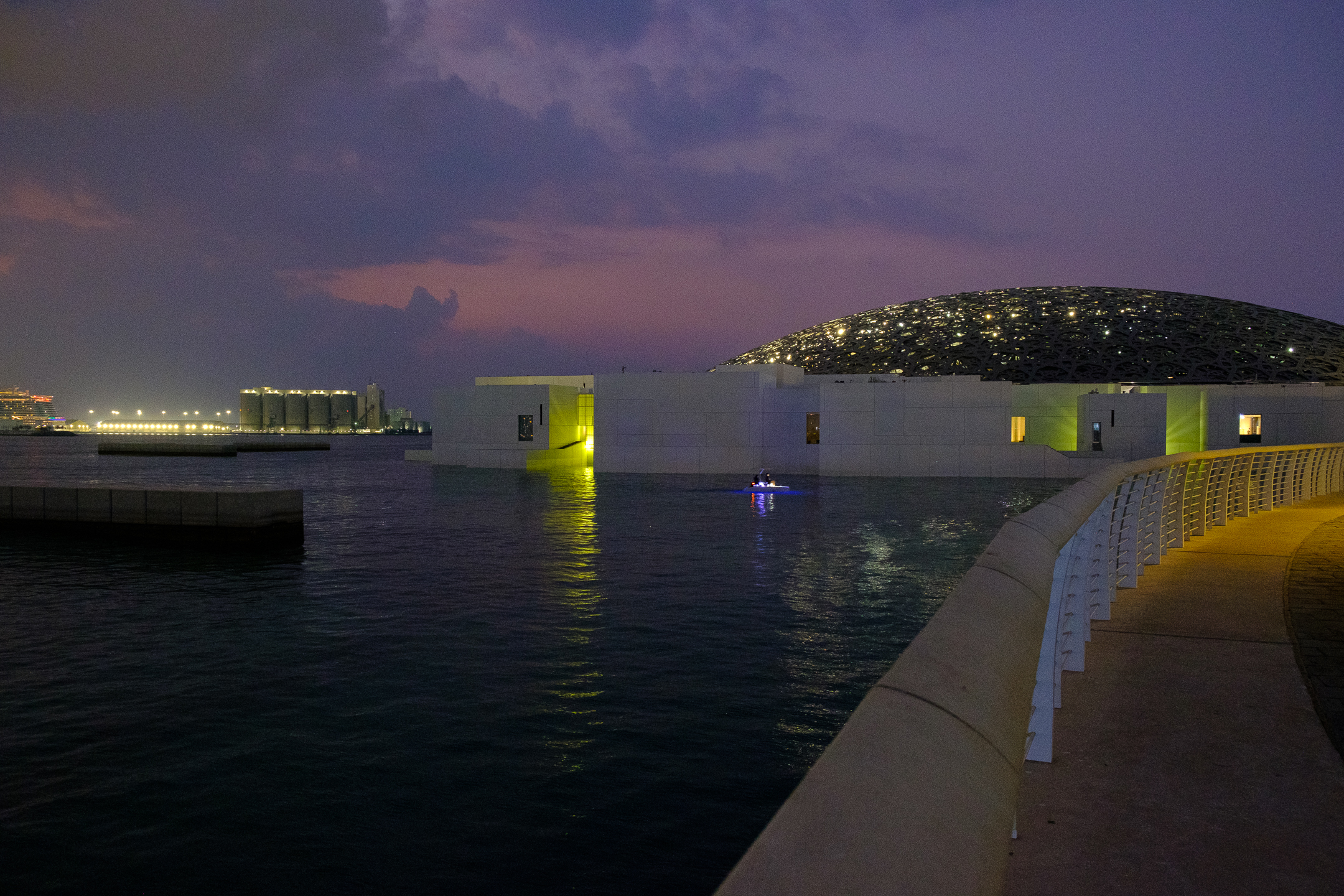
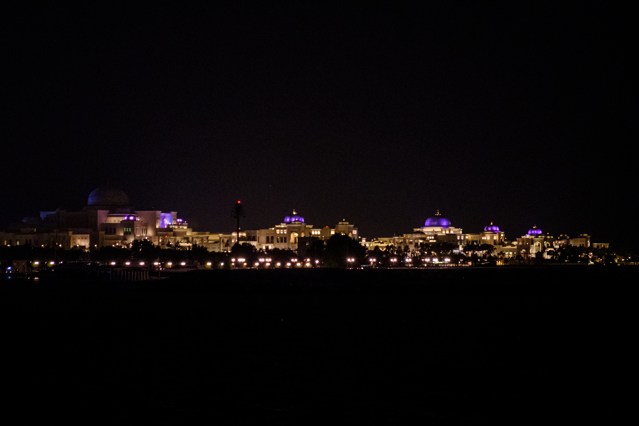
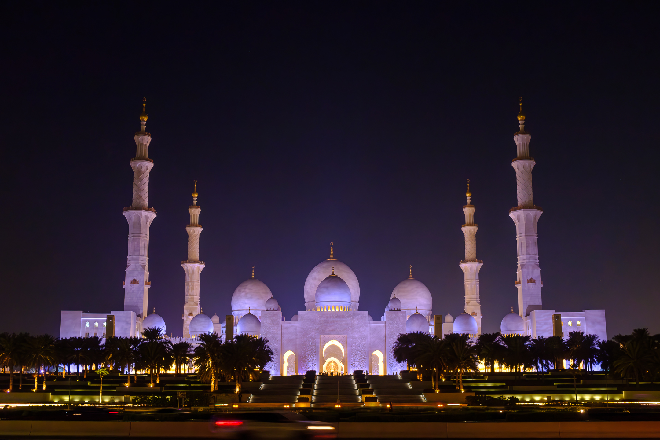
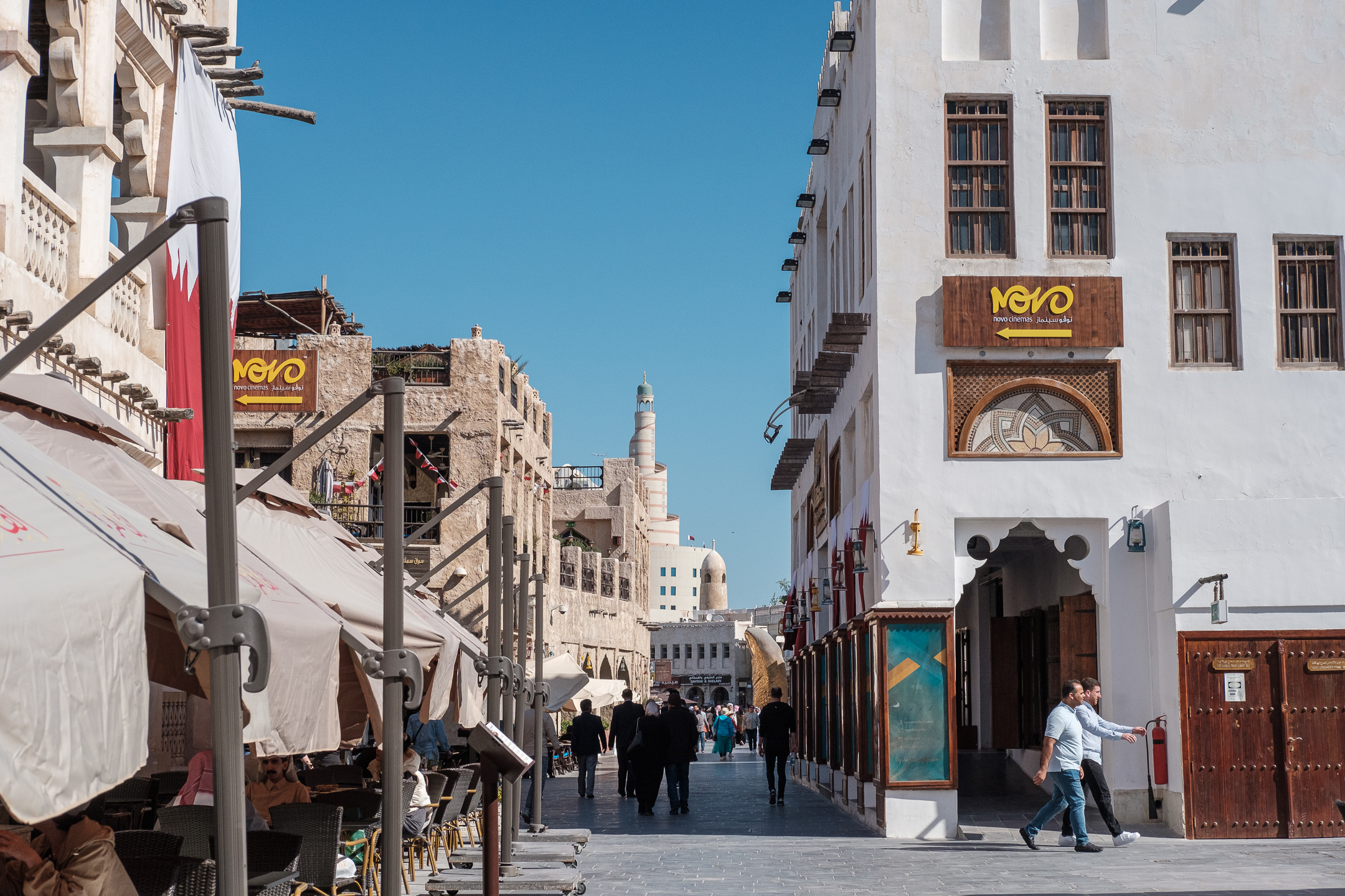
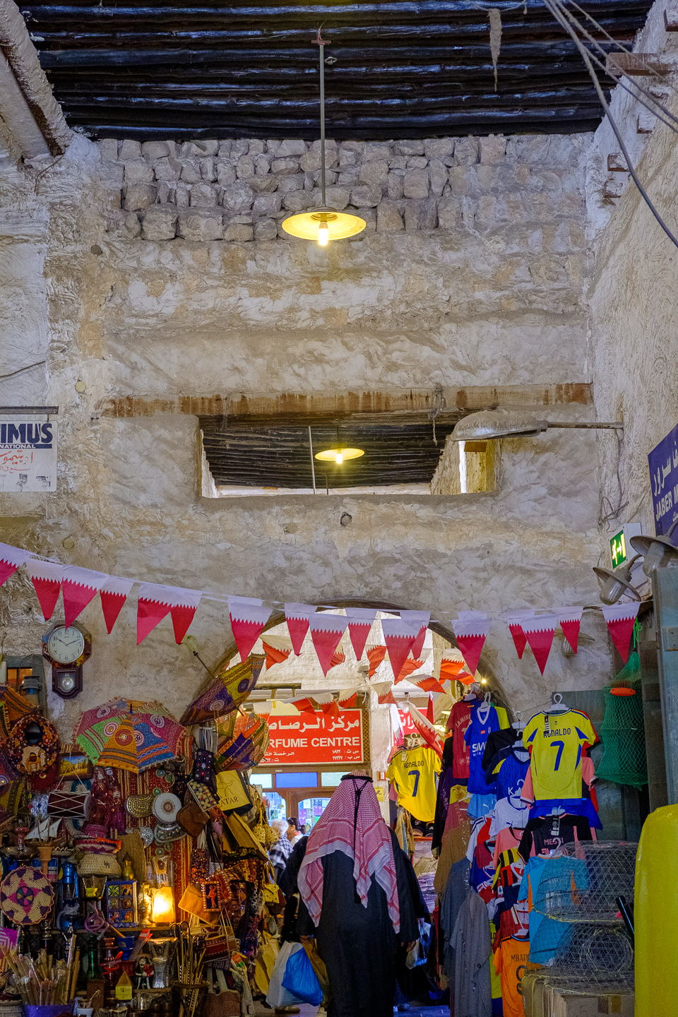
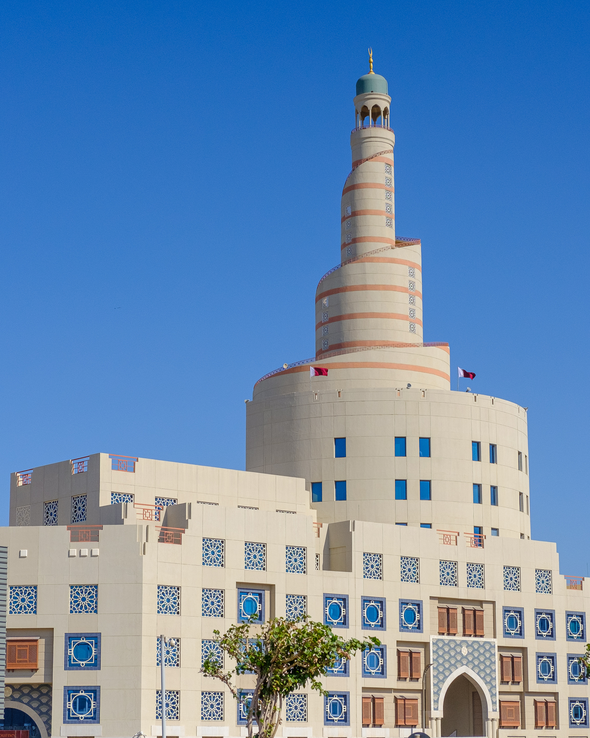
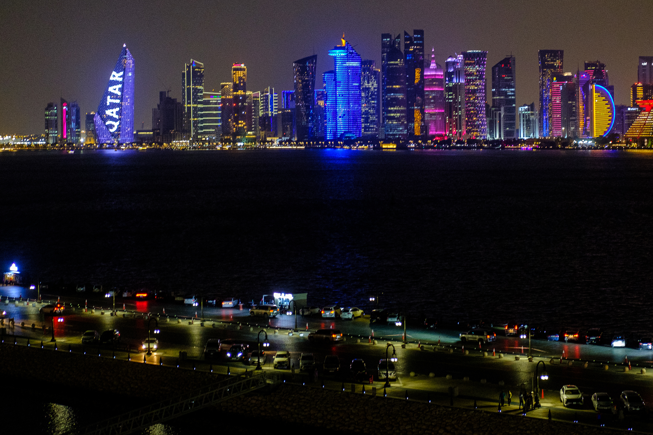
This photo of Dubai Creek summarizes quite a bit of what I saw in Doha, Abu Dhabi, and Dubai. The Arabian Peninsula, birthplace of Islam, boasts the world’s largest oil reserves along with the water to transport those reserves throughout the globe. Qatar and the UAE have so much oil money, they have built up their countries with mega-buildings, expansive museums, and exquisite mosques. Interestingly, even with so much oil, most of the emirates envision a future without oil money, so they attempt to diversify their economies into tourism, medical tourism, and construction. One of my favorite tours during this whole adventure took me to the Abrahamic Family House in Abu Dhabi where I saw a synagogue, mosque, and church.
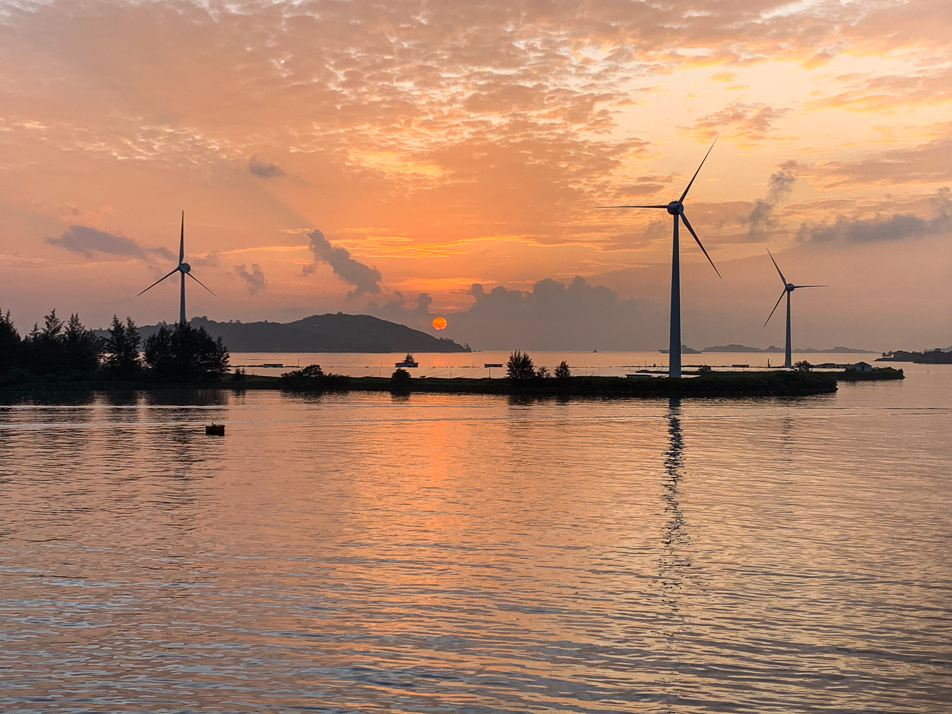
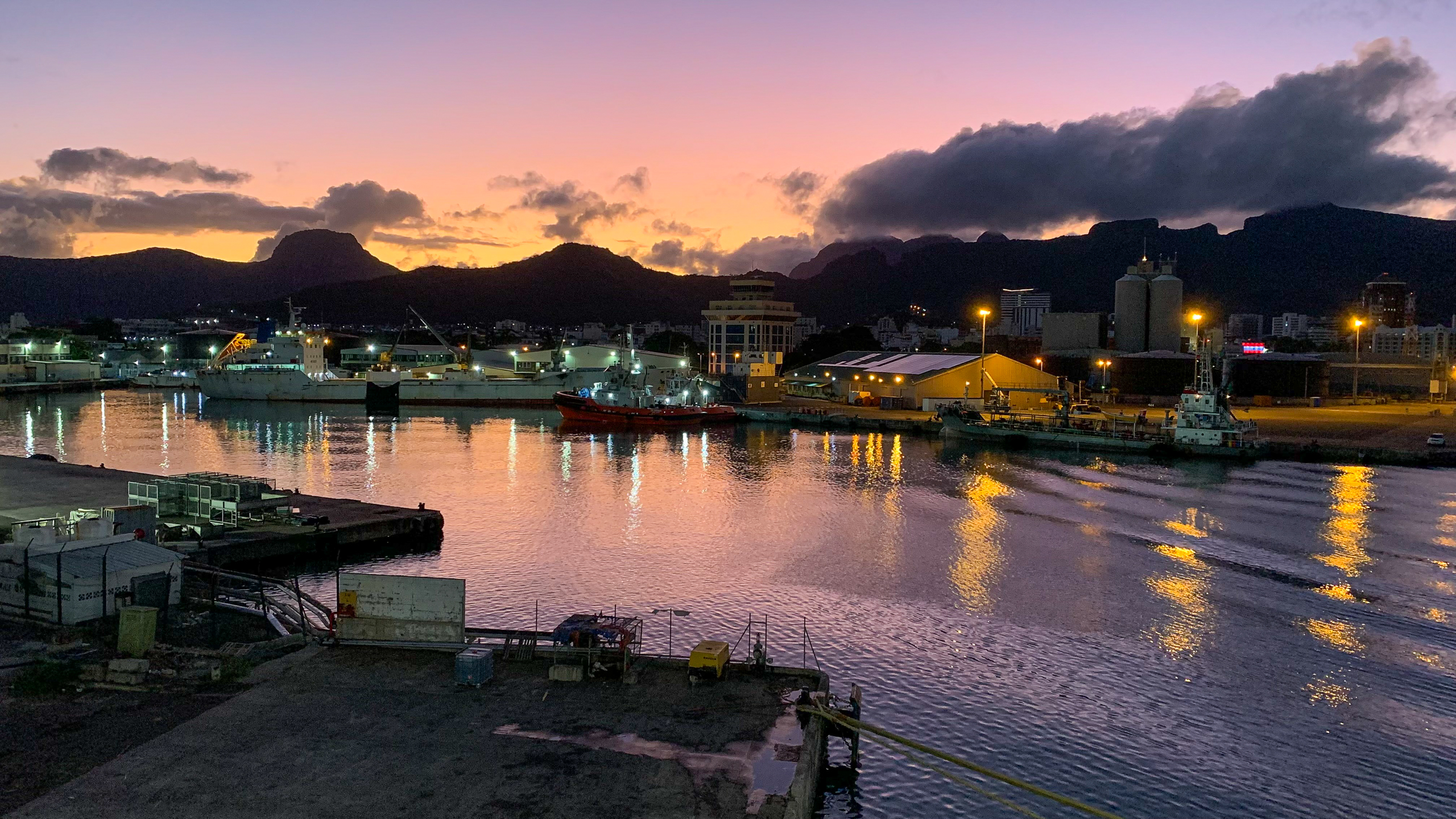
Indian Ocean
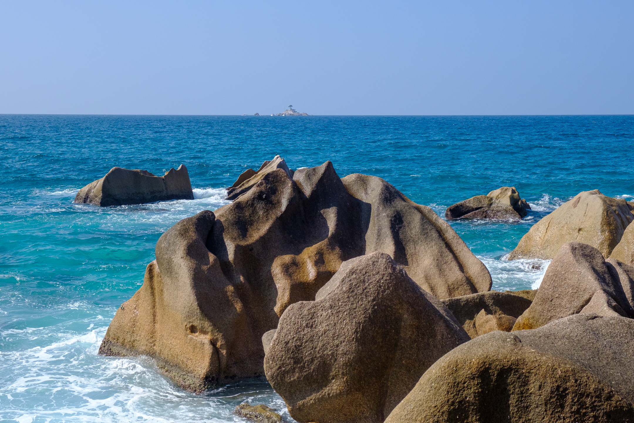
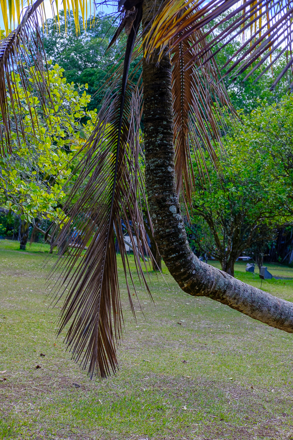
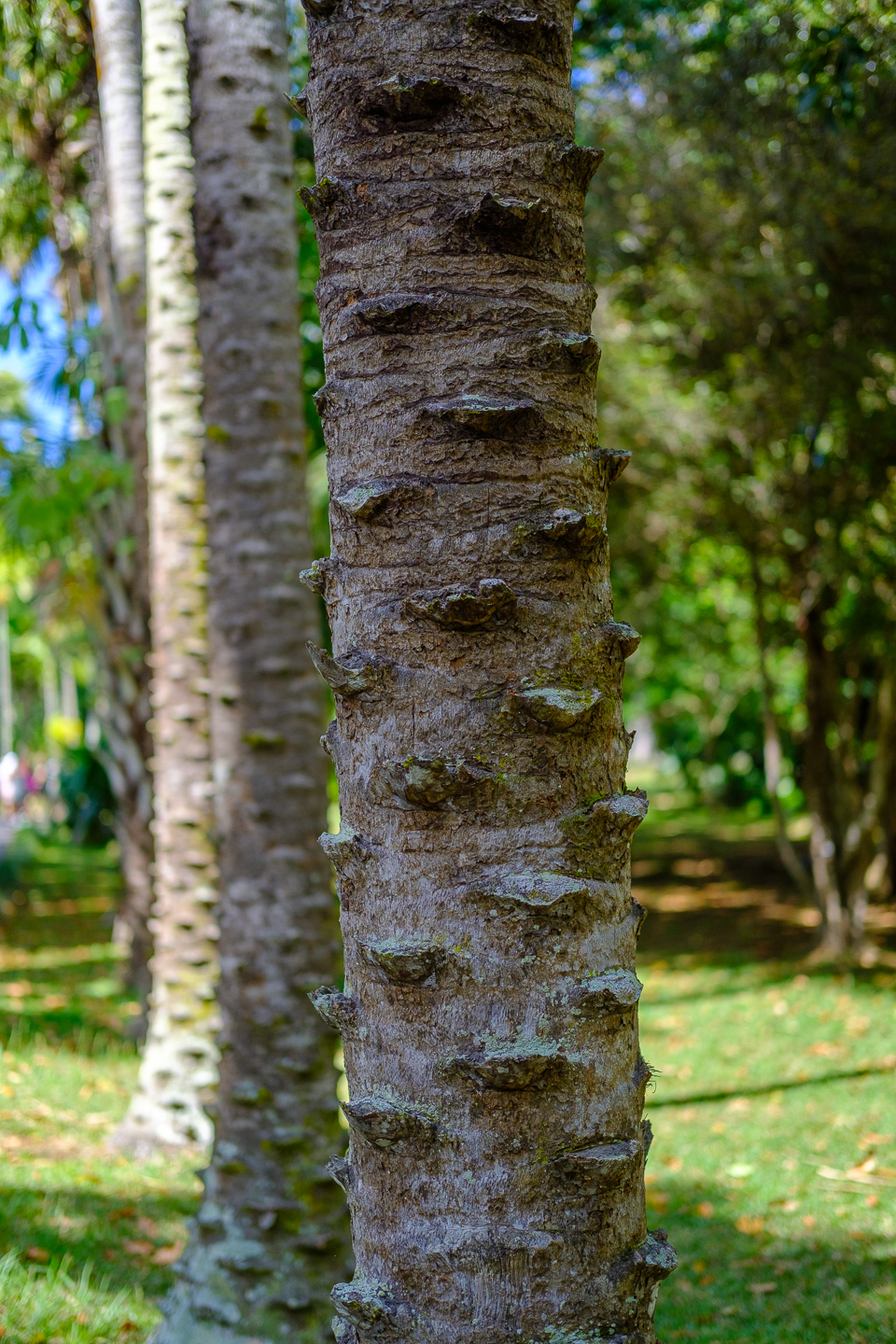
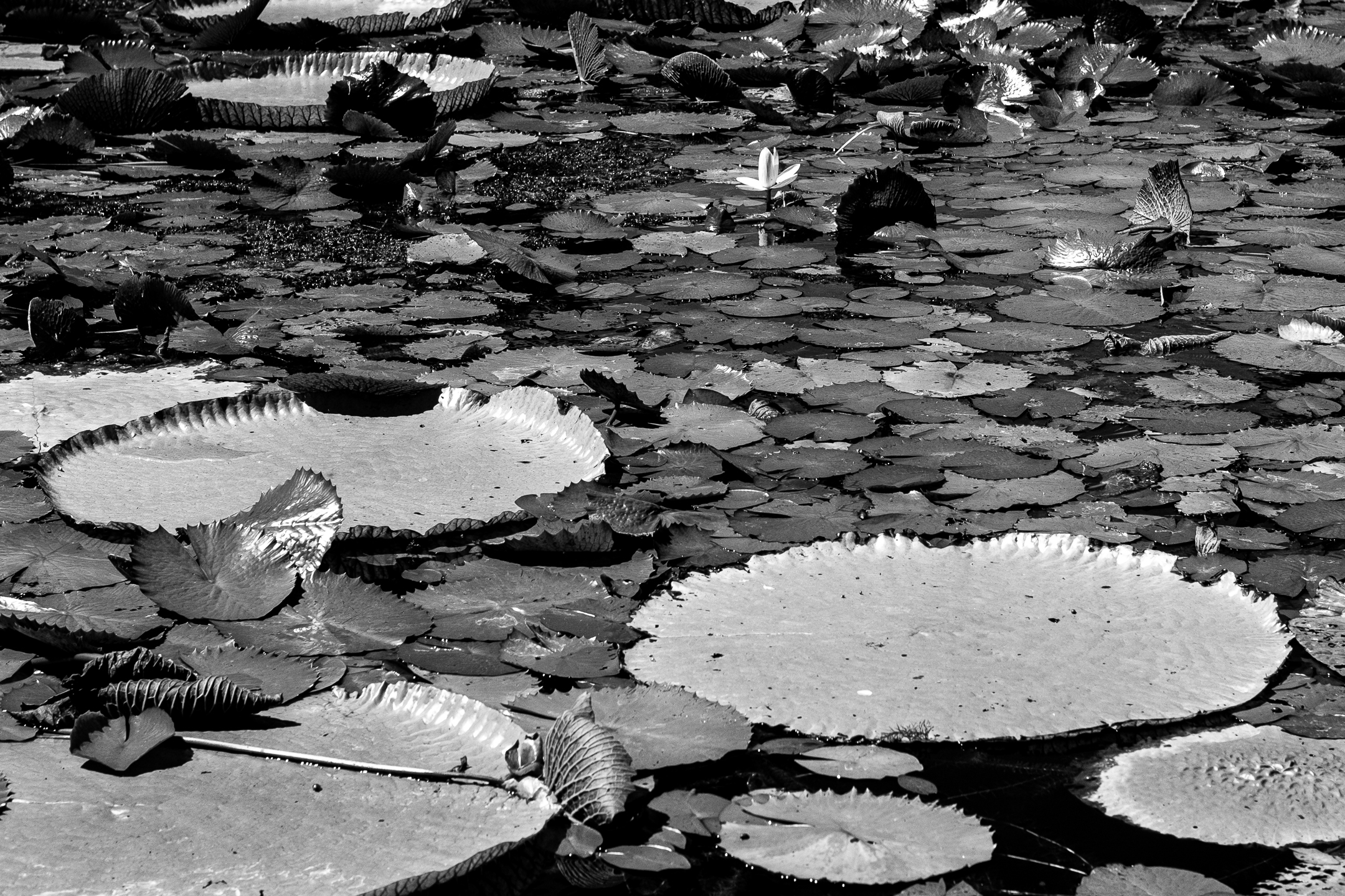
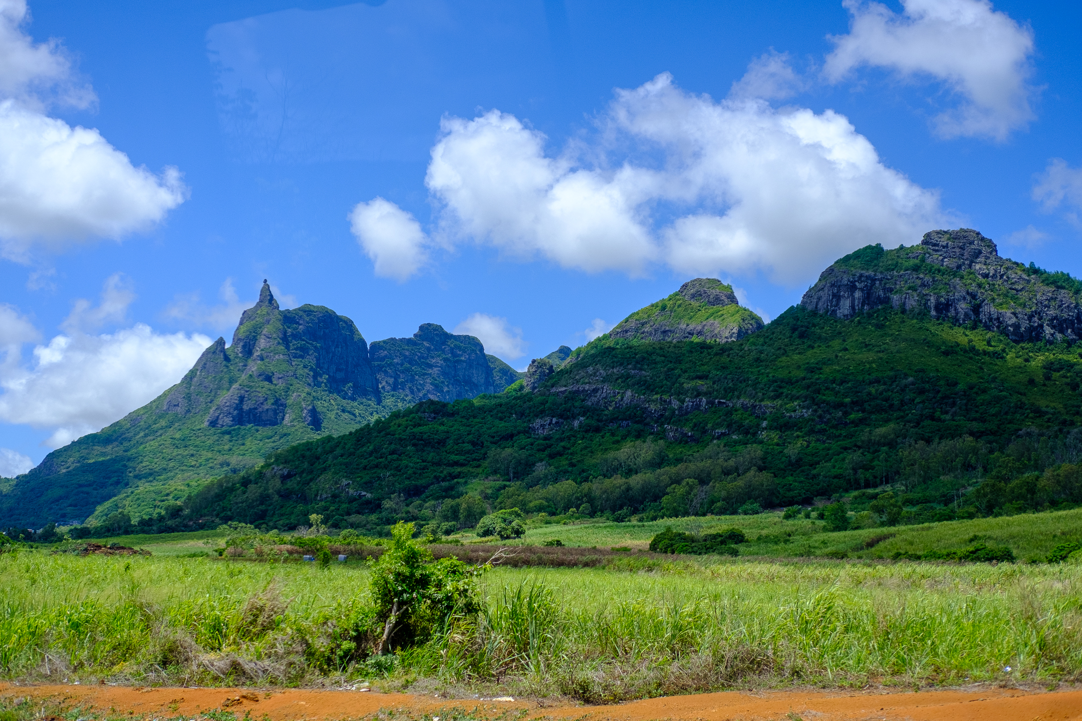
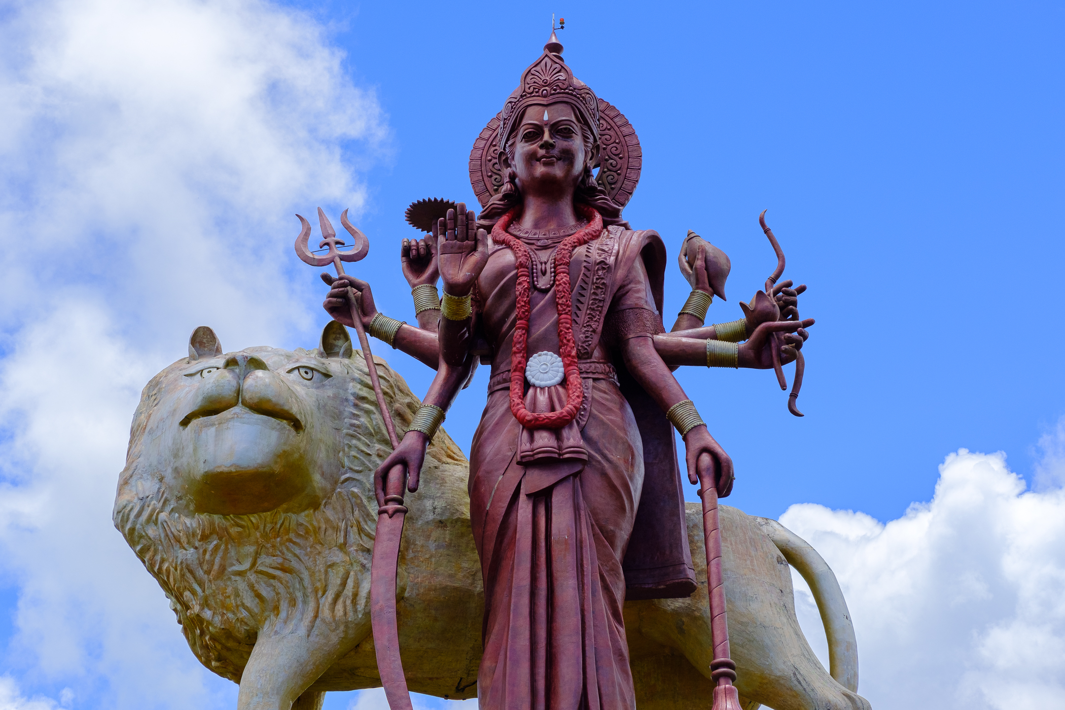
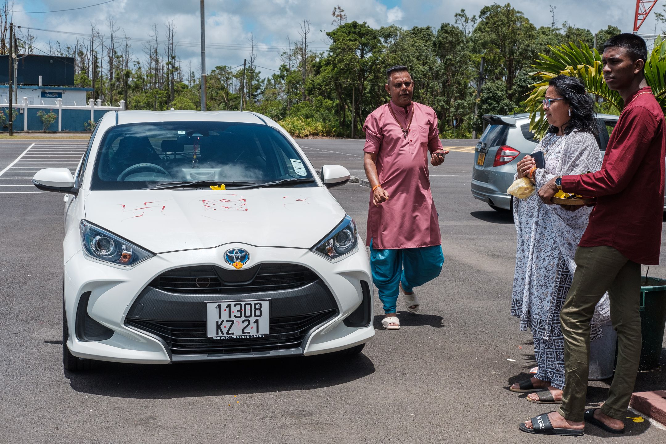
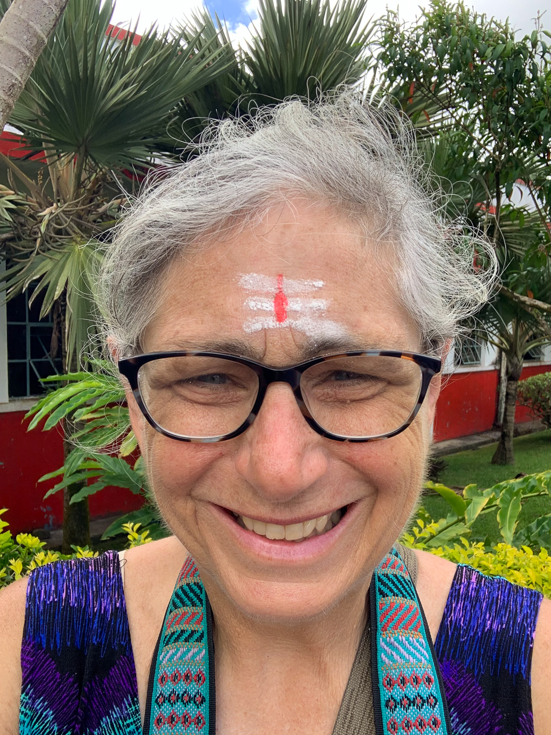
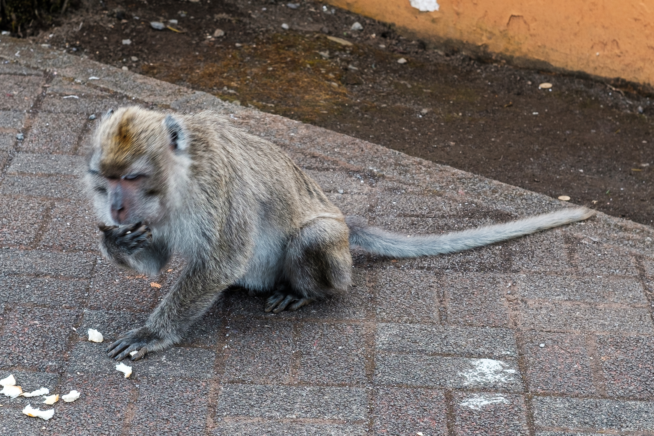
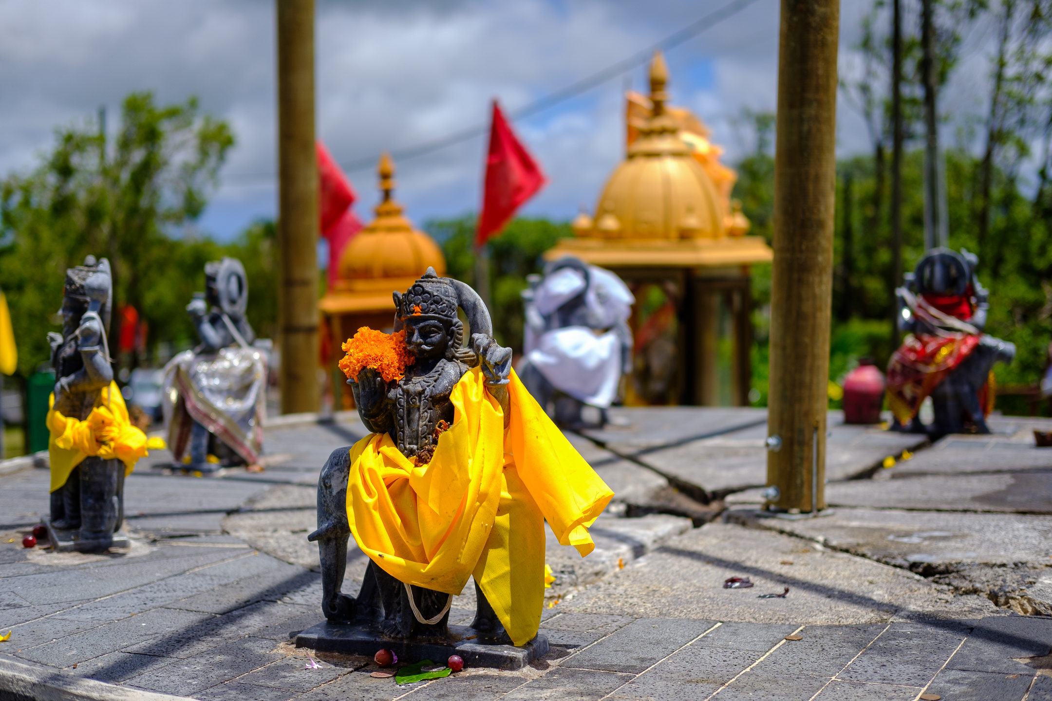
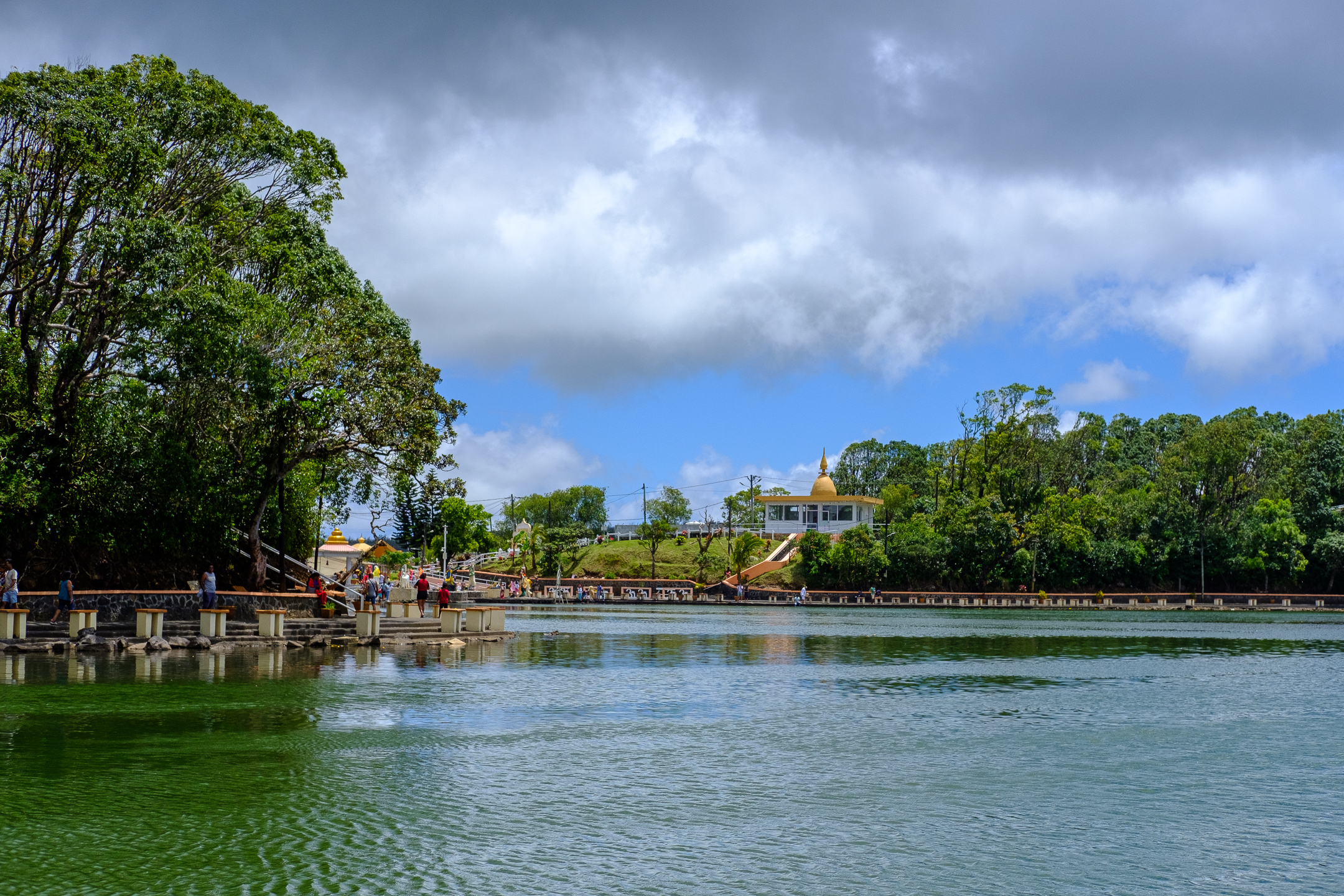
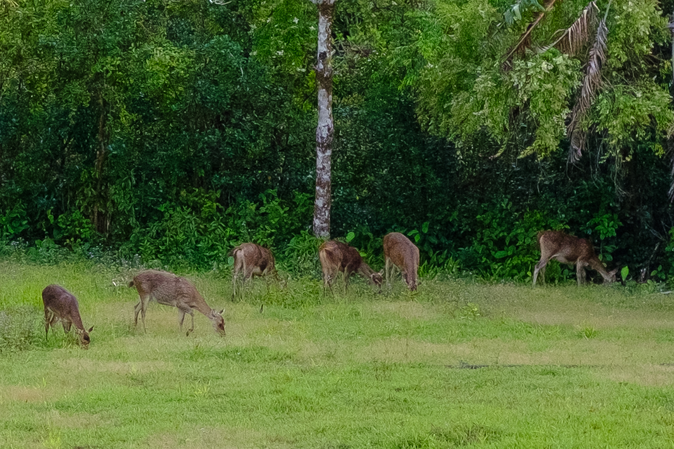
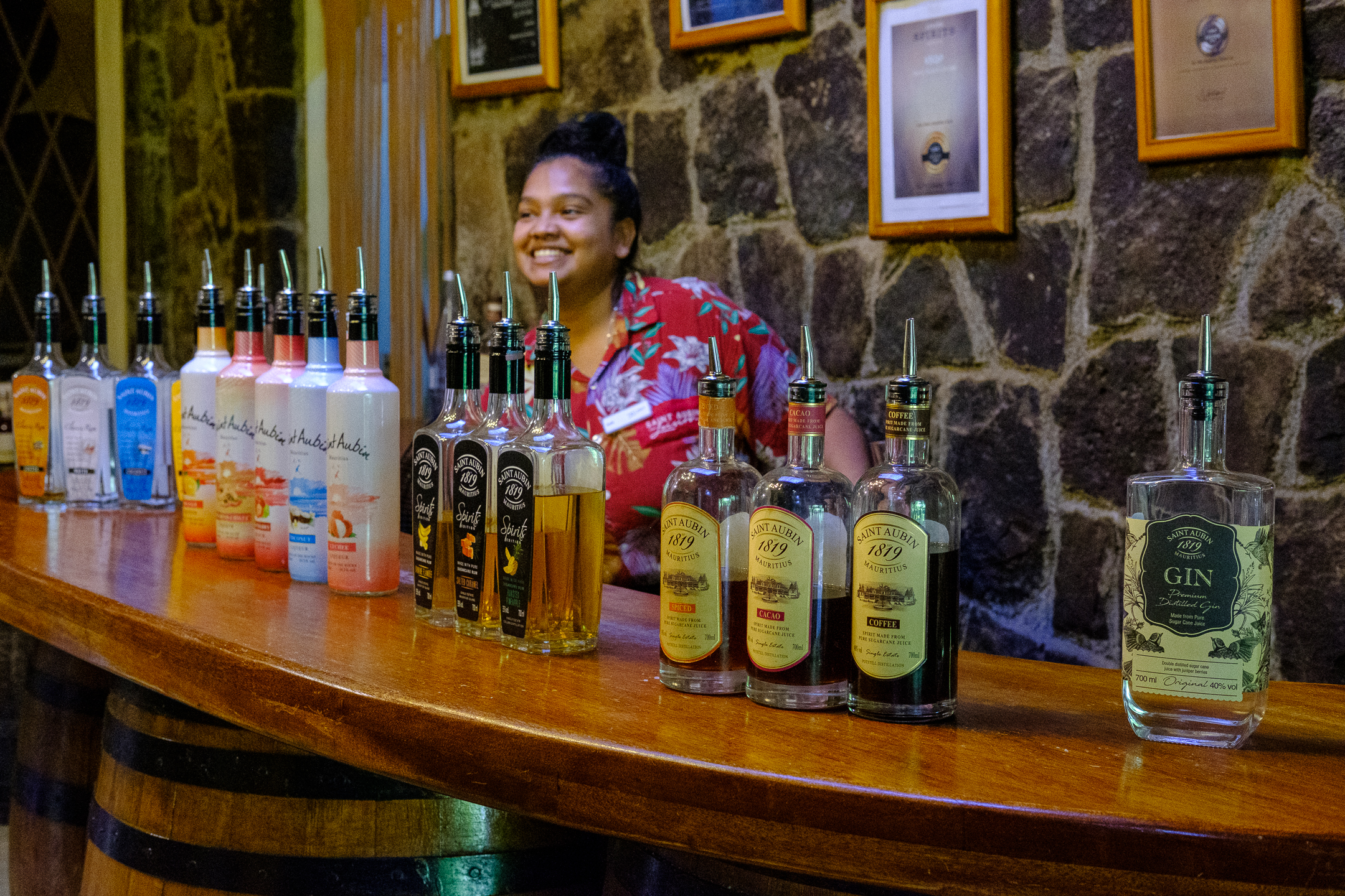
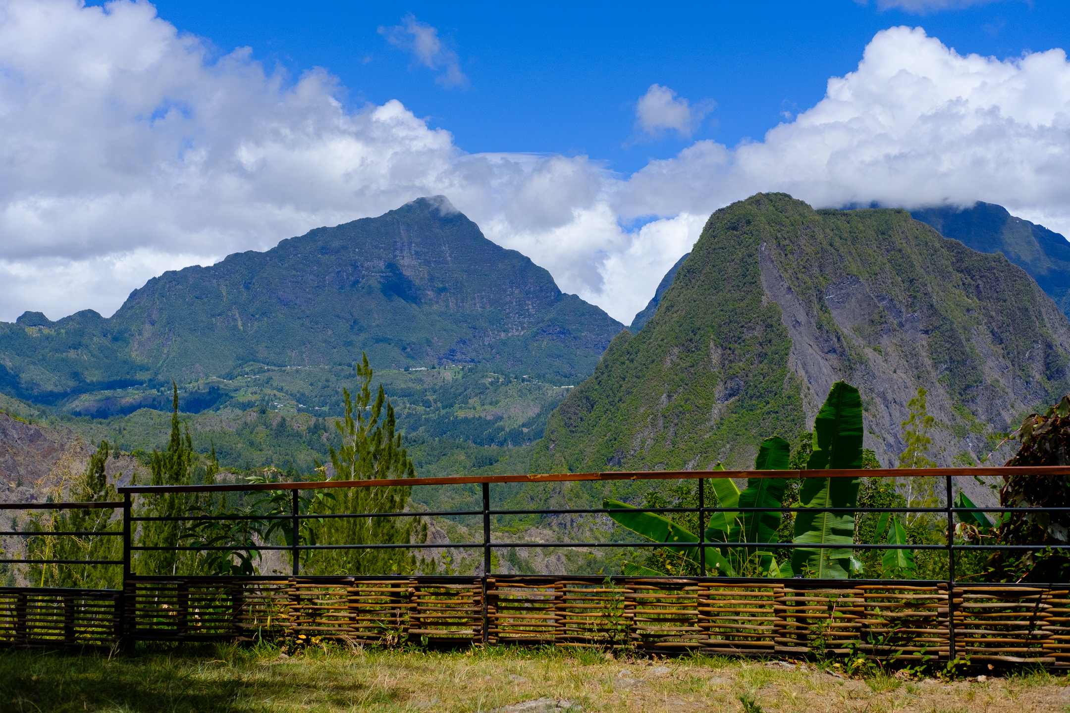
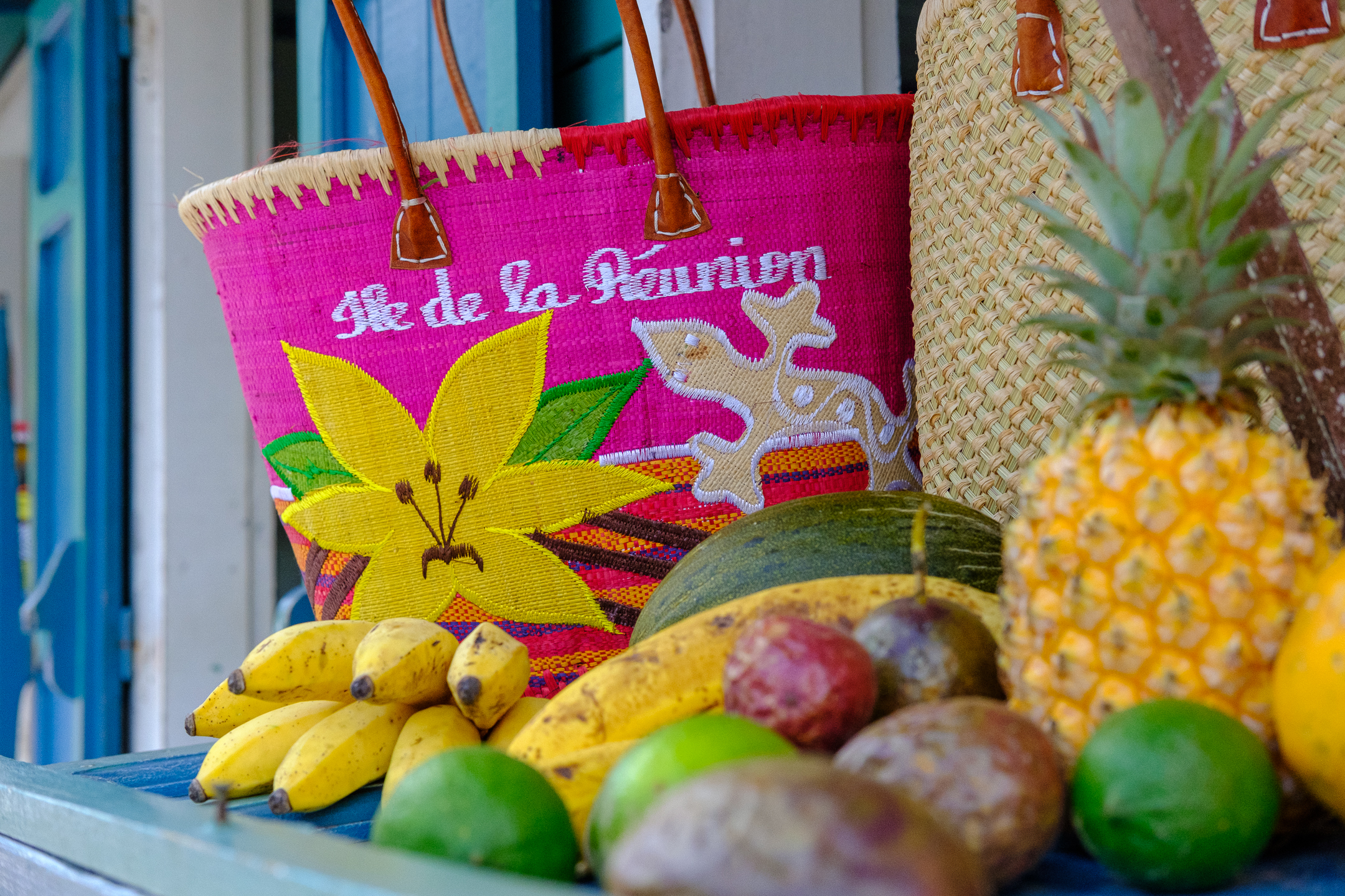
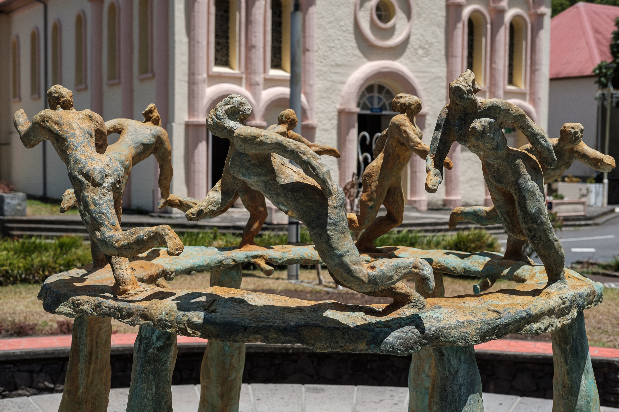
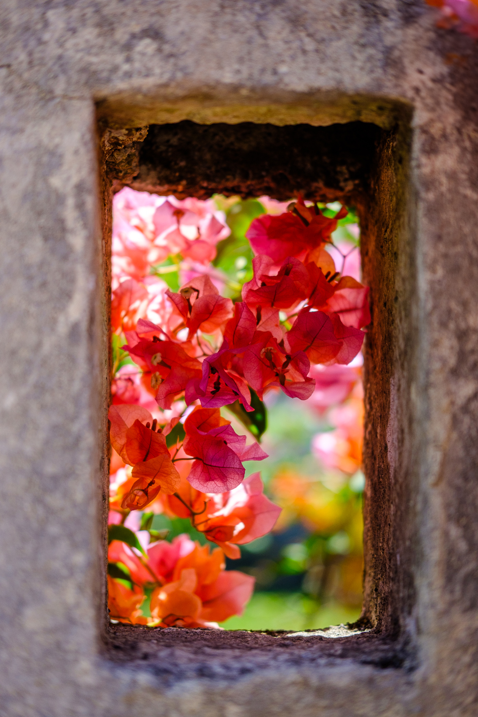
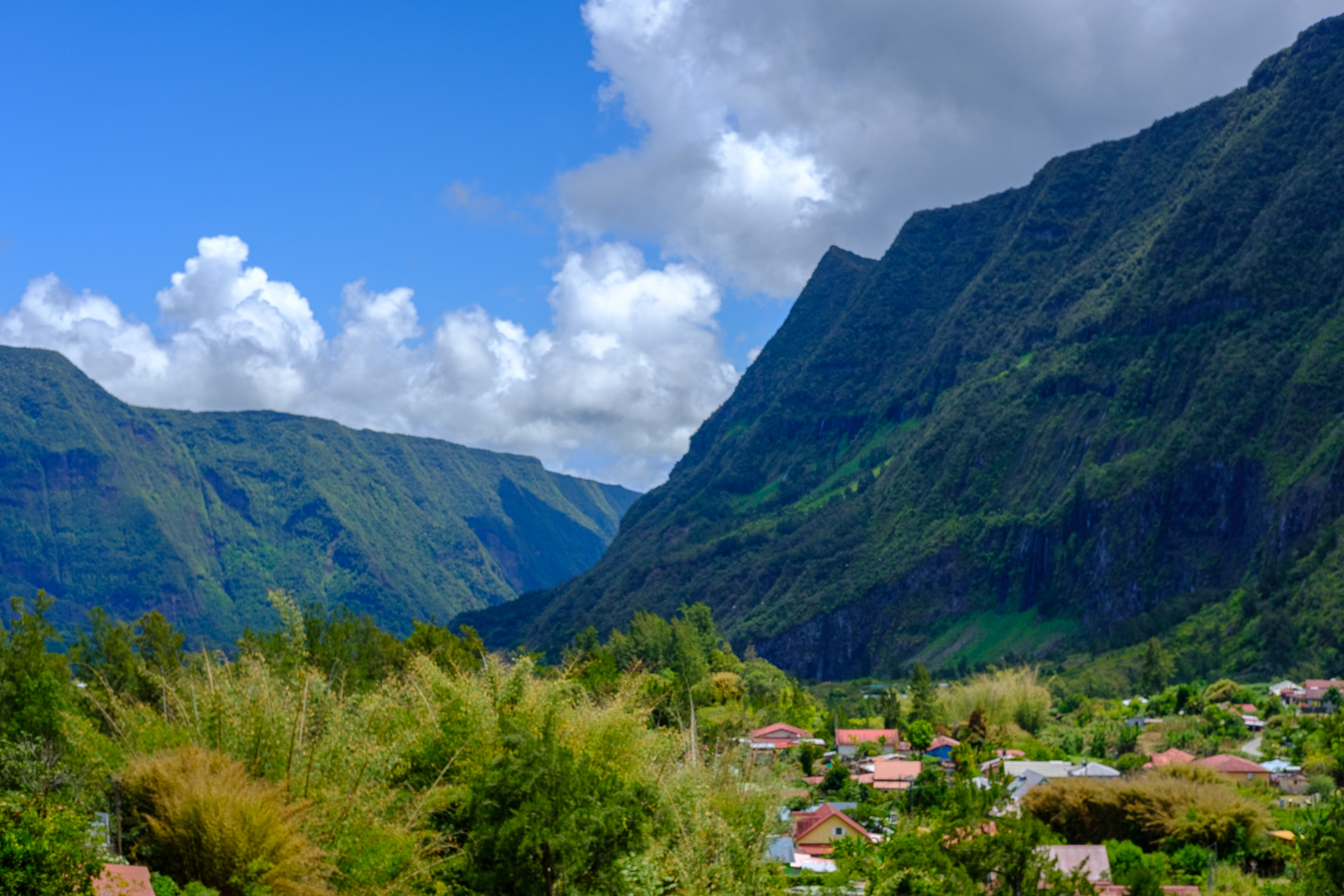
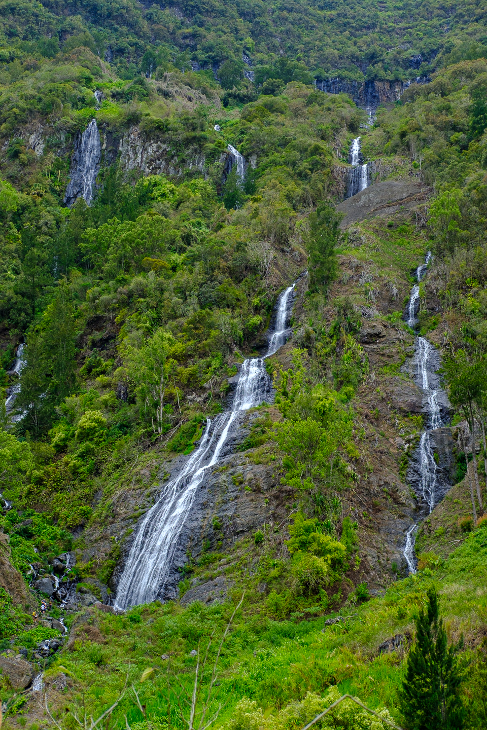
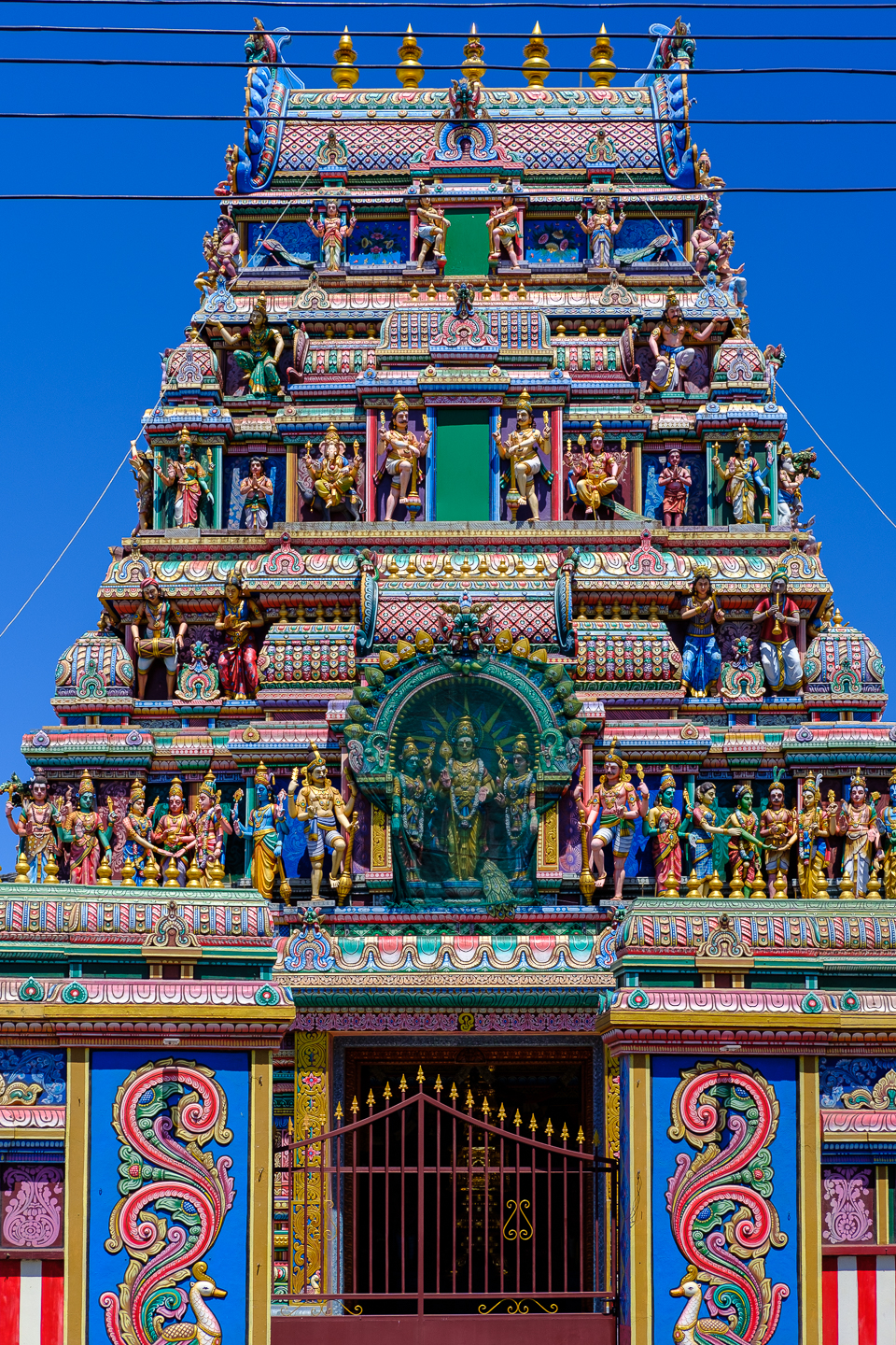
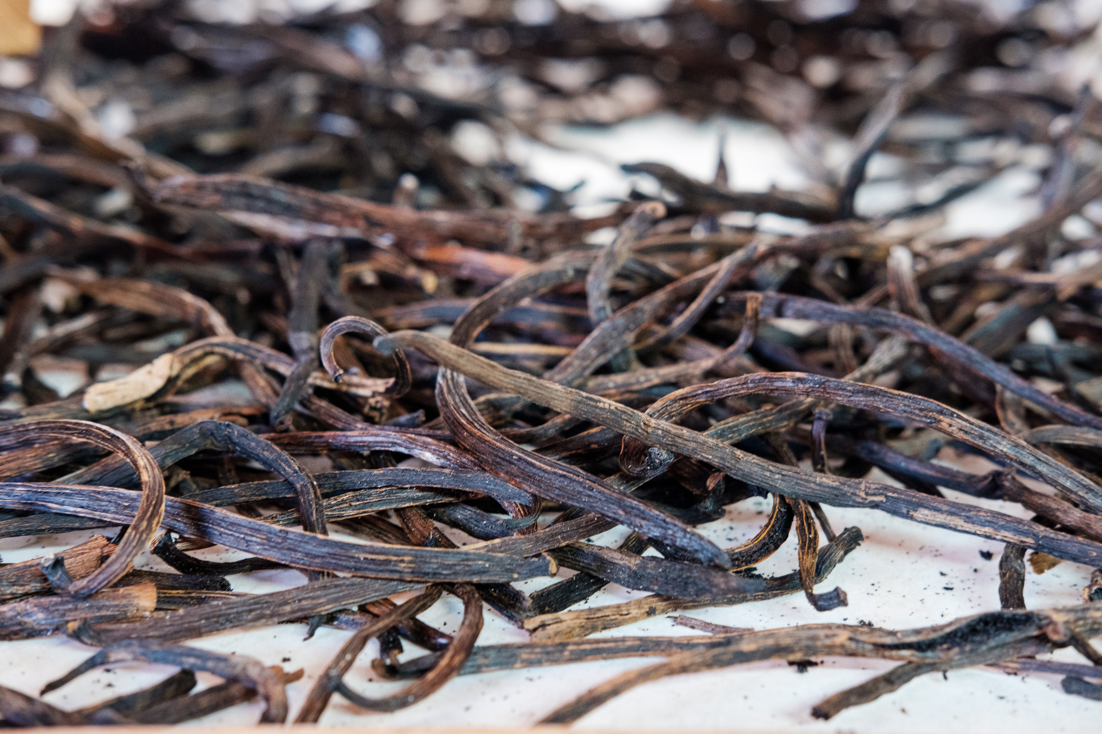
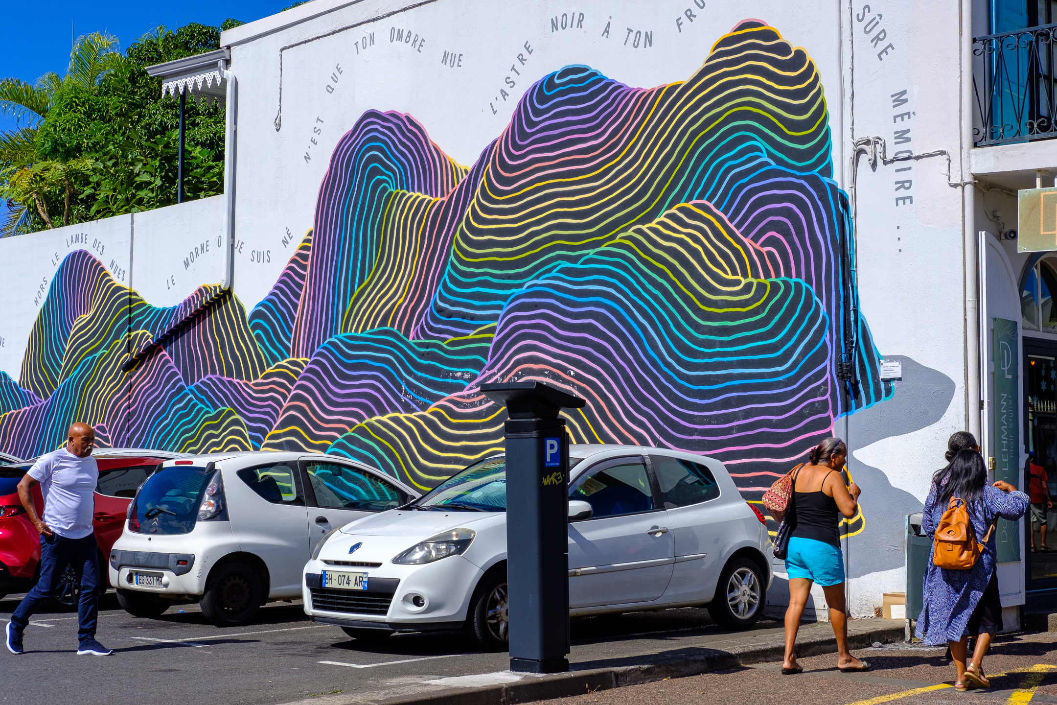
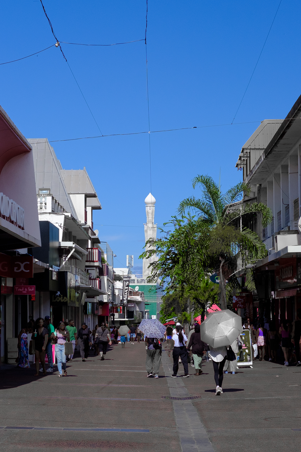
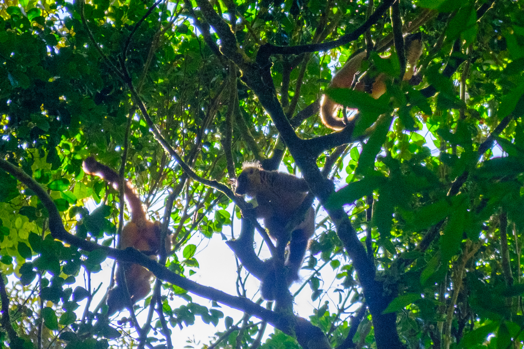
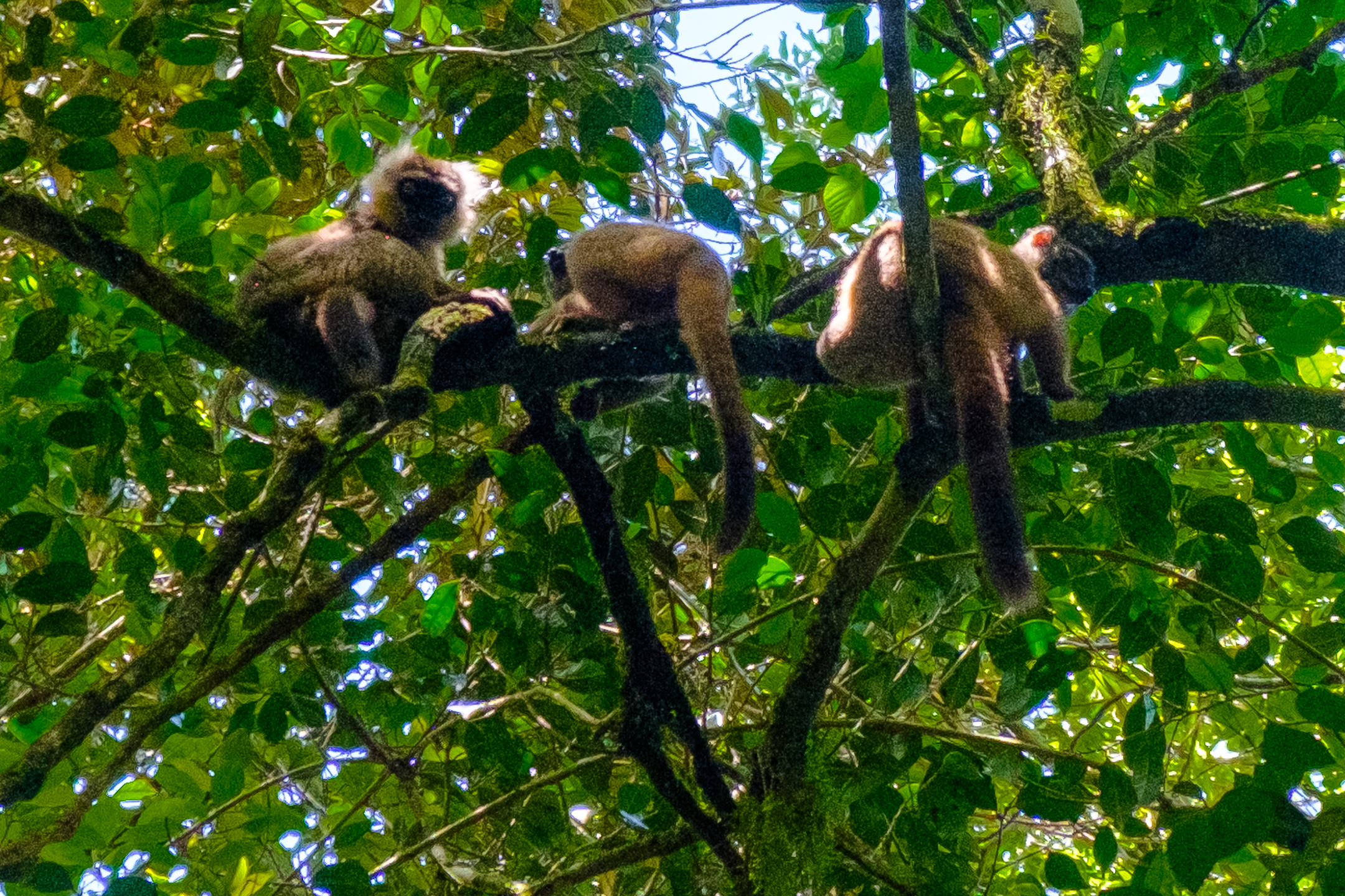
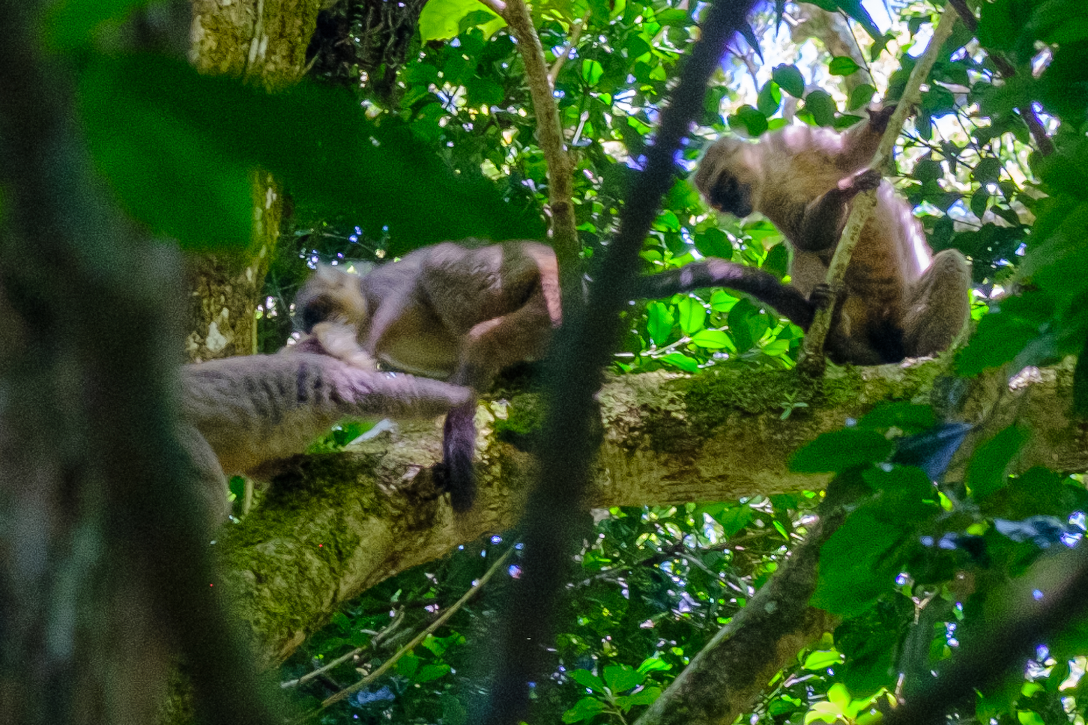
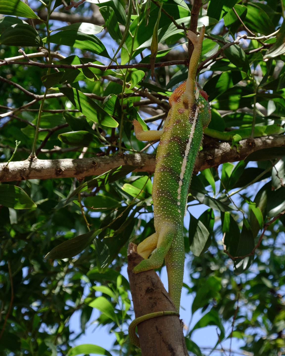
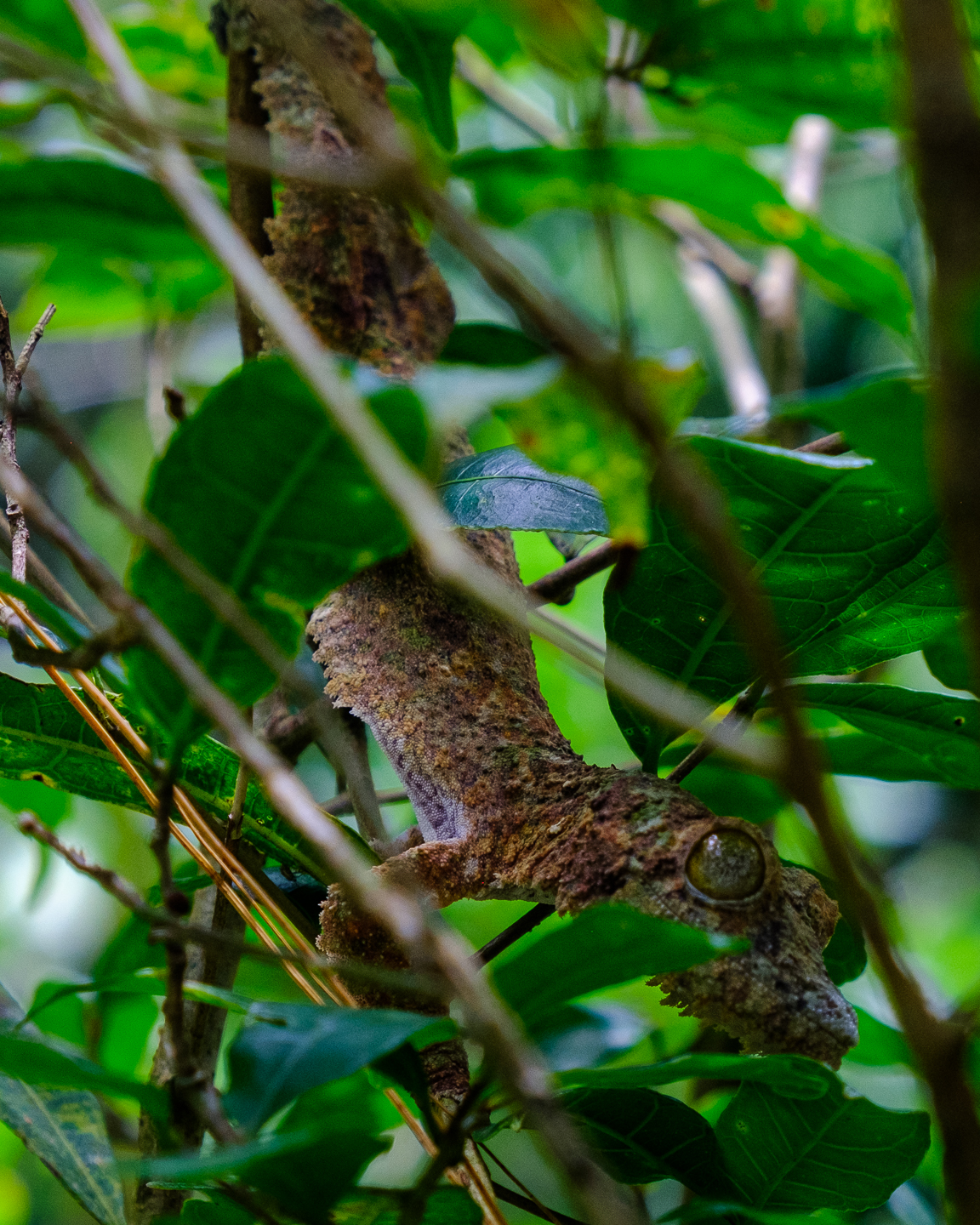
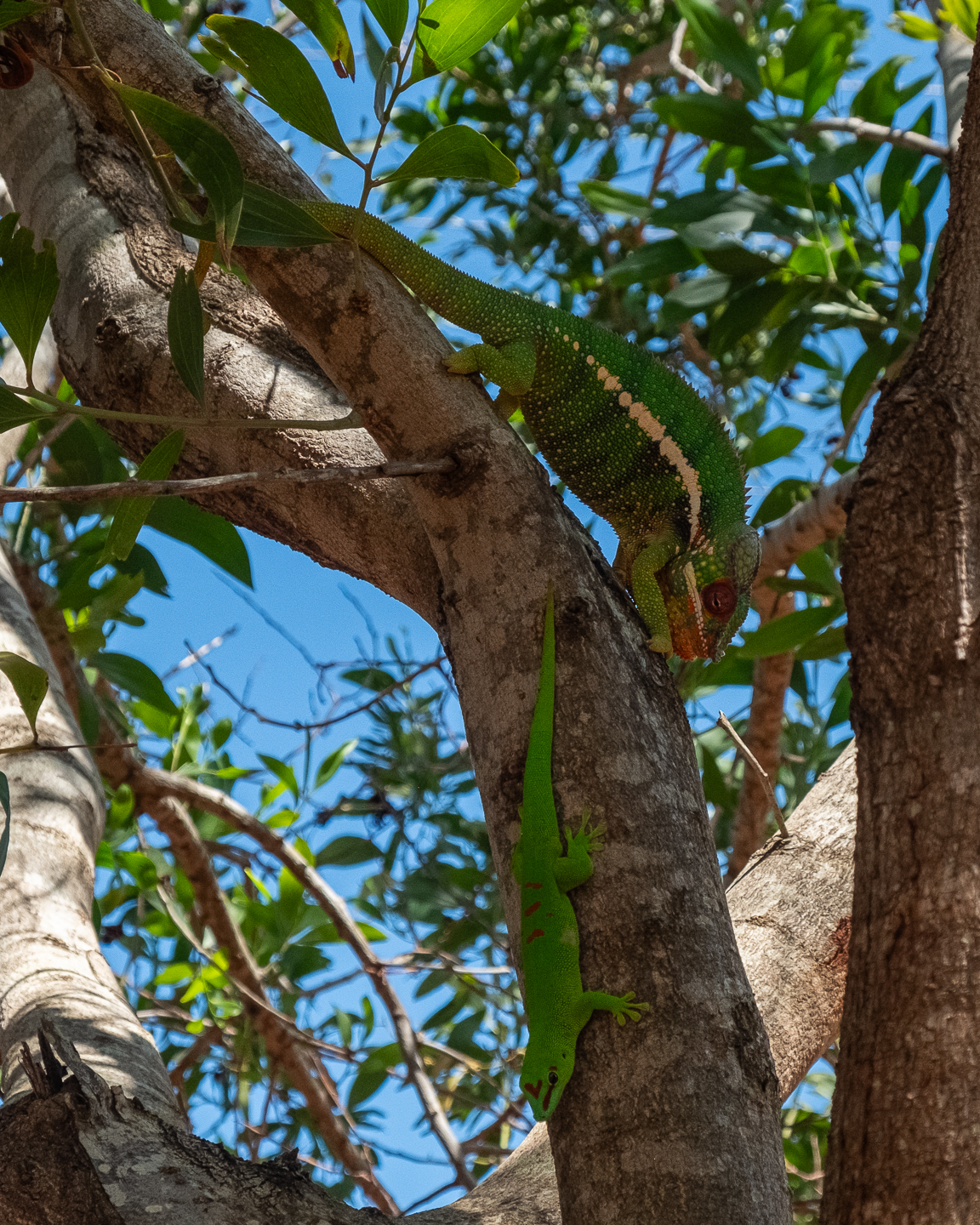
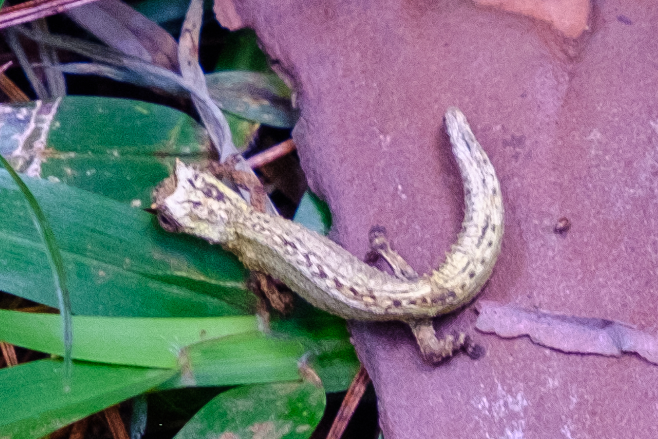
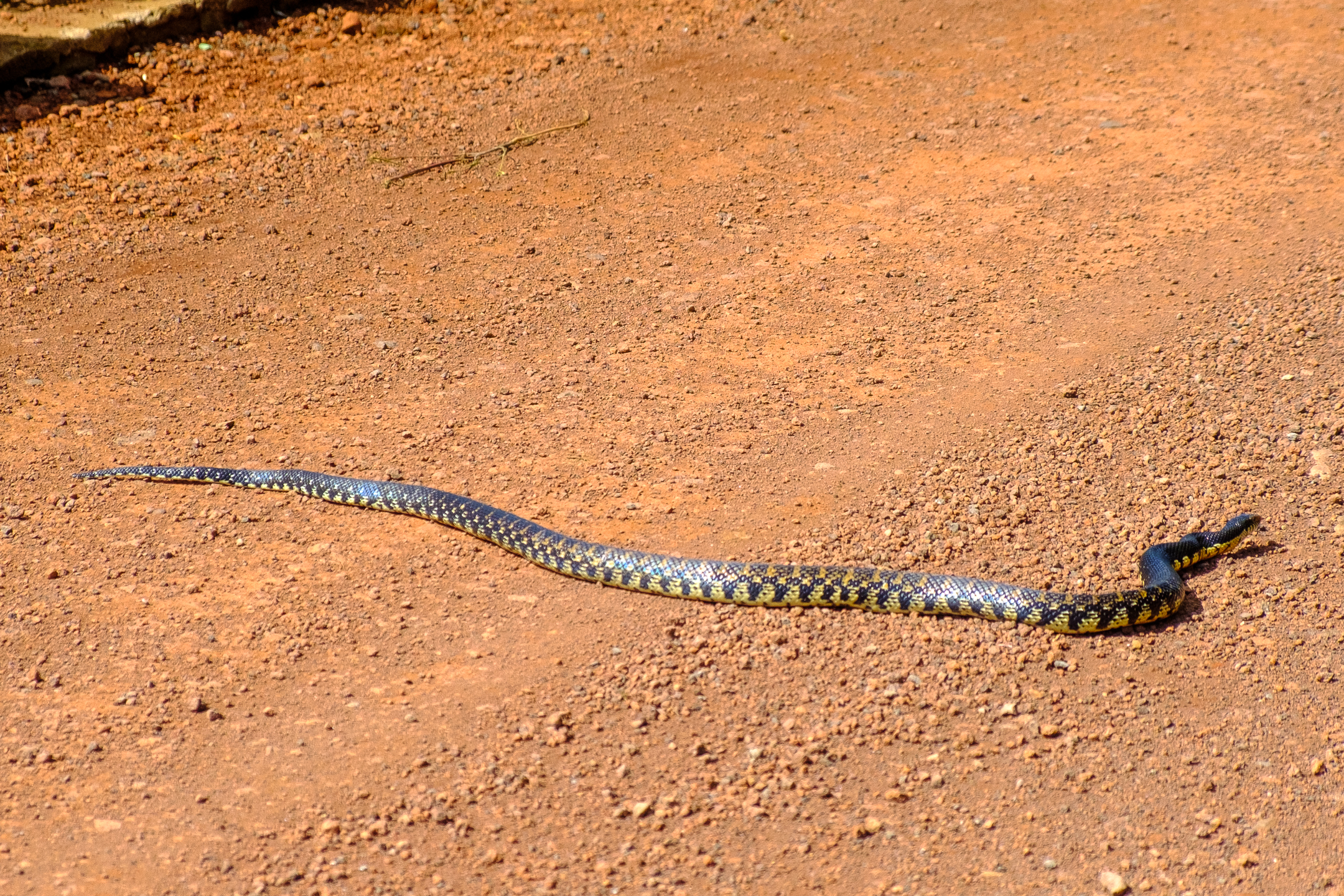
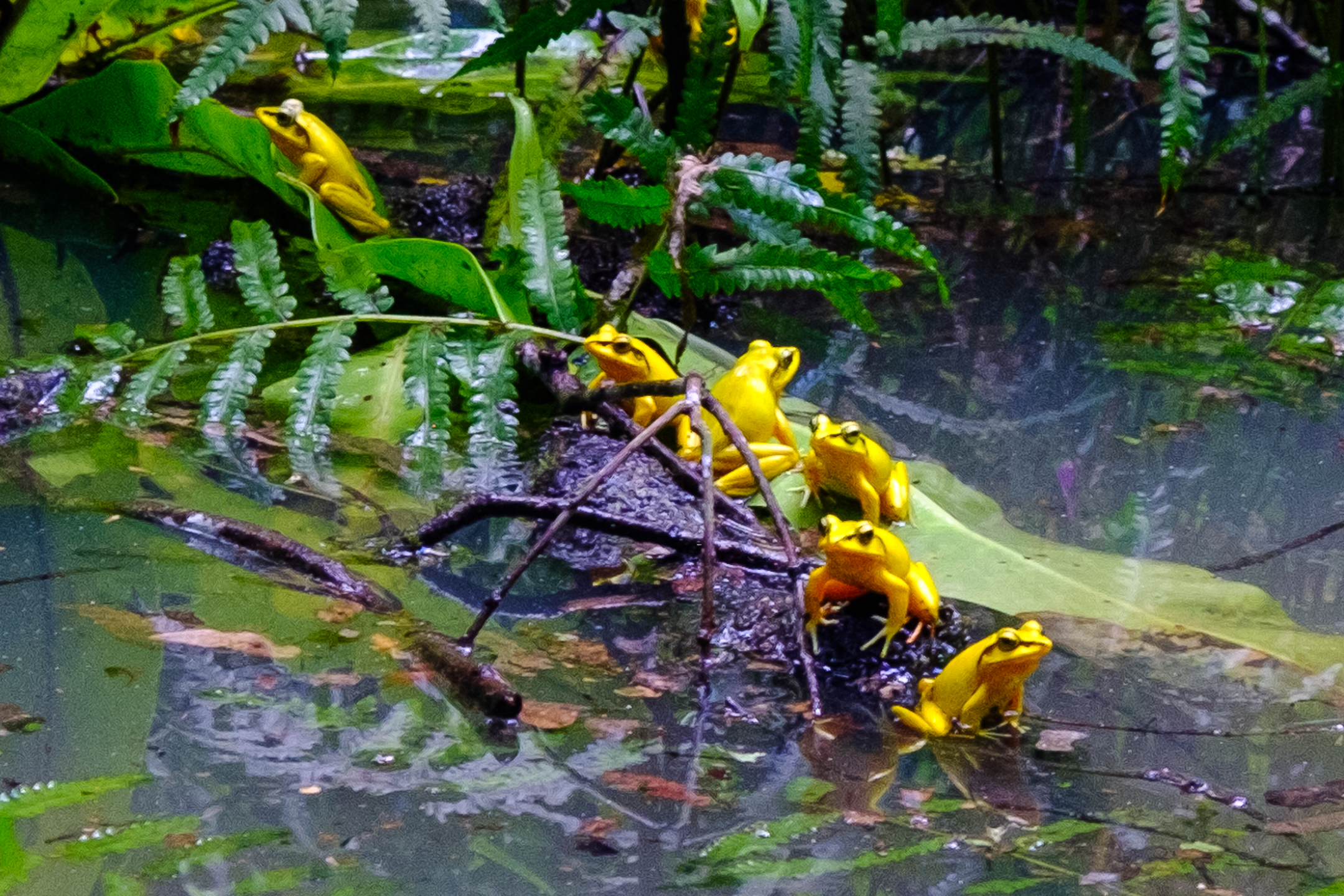
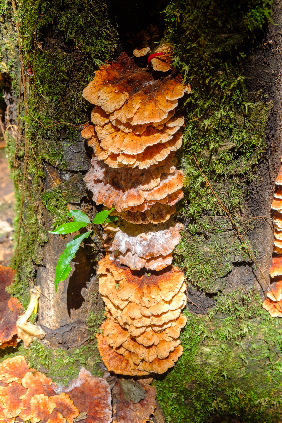
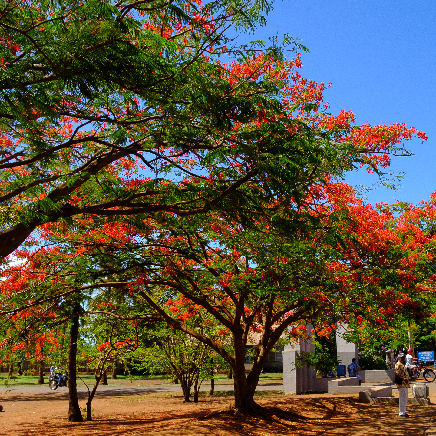
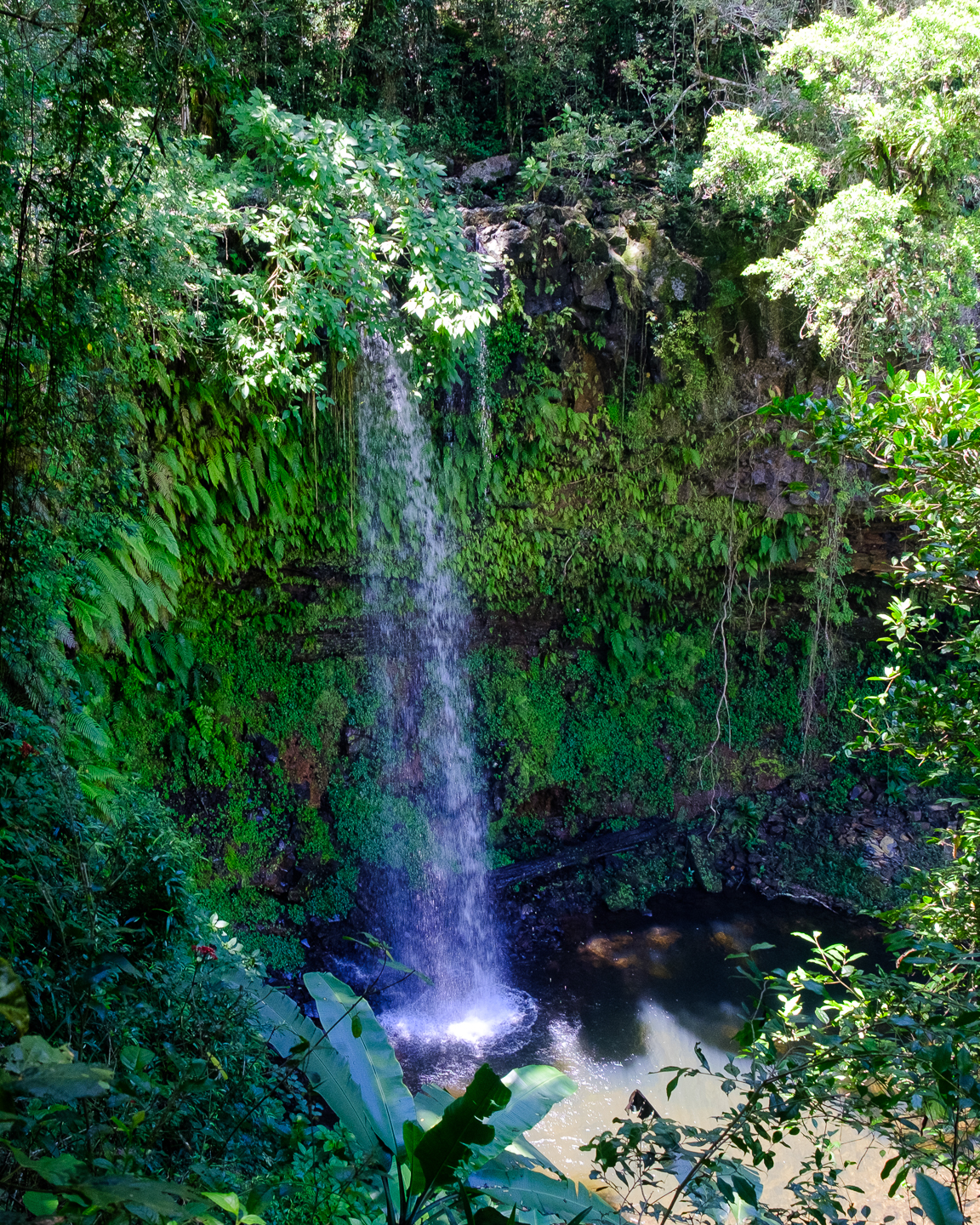
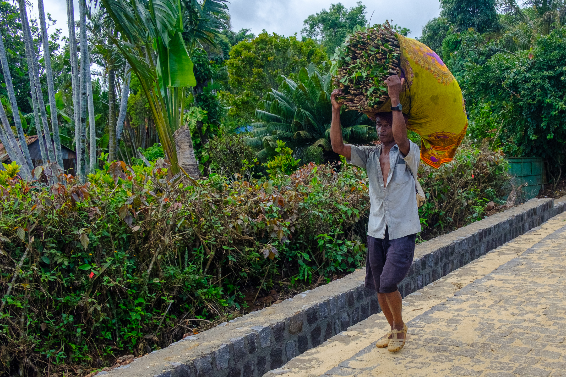
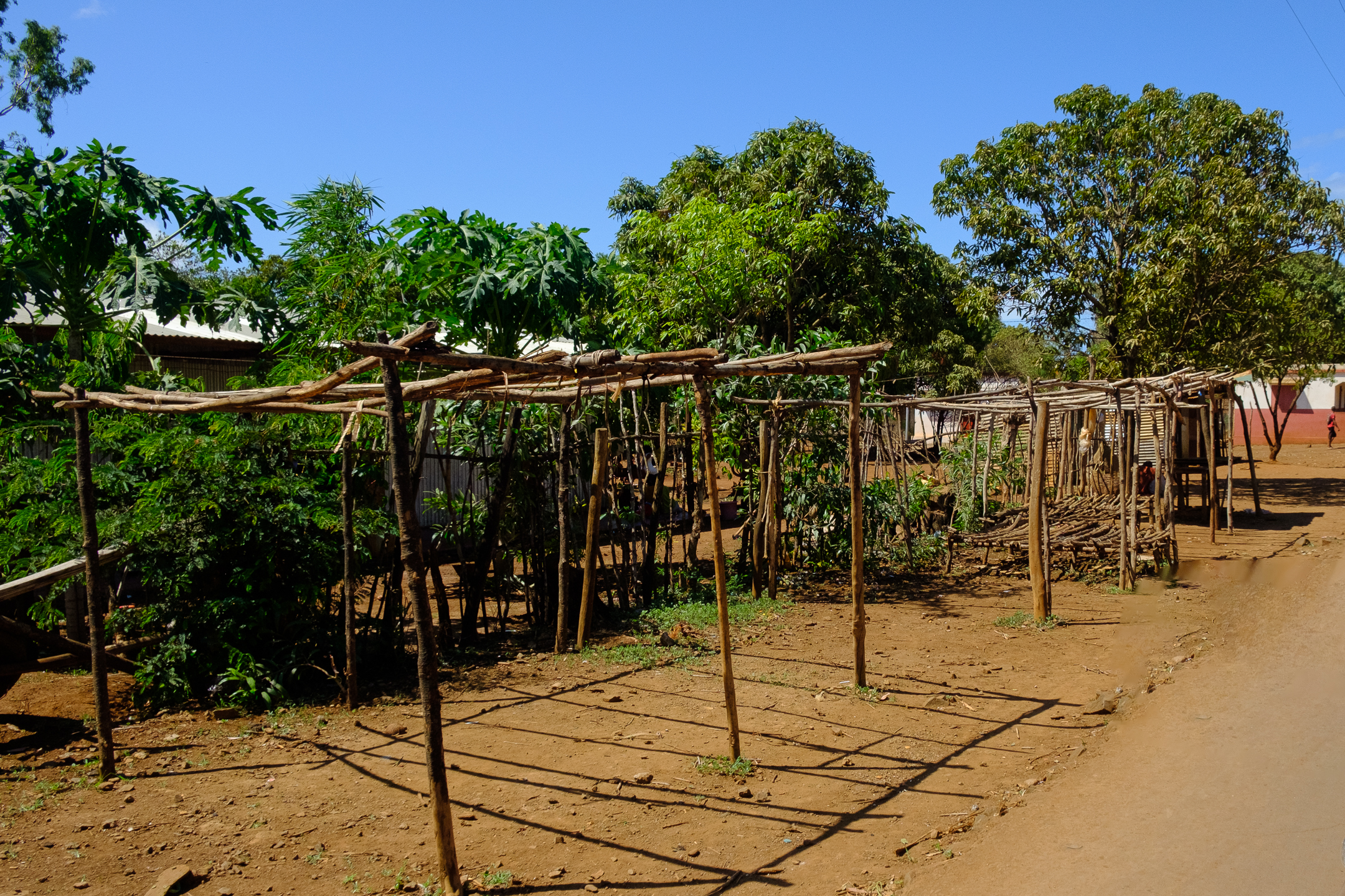
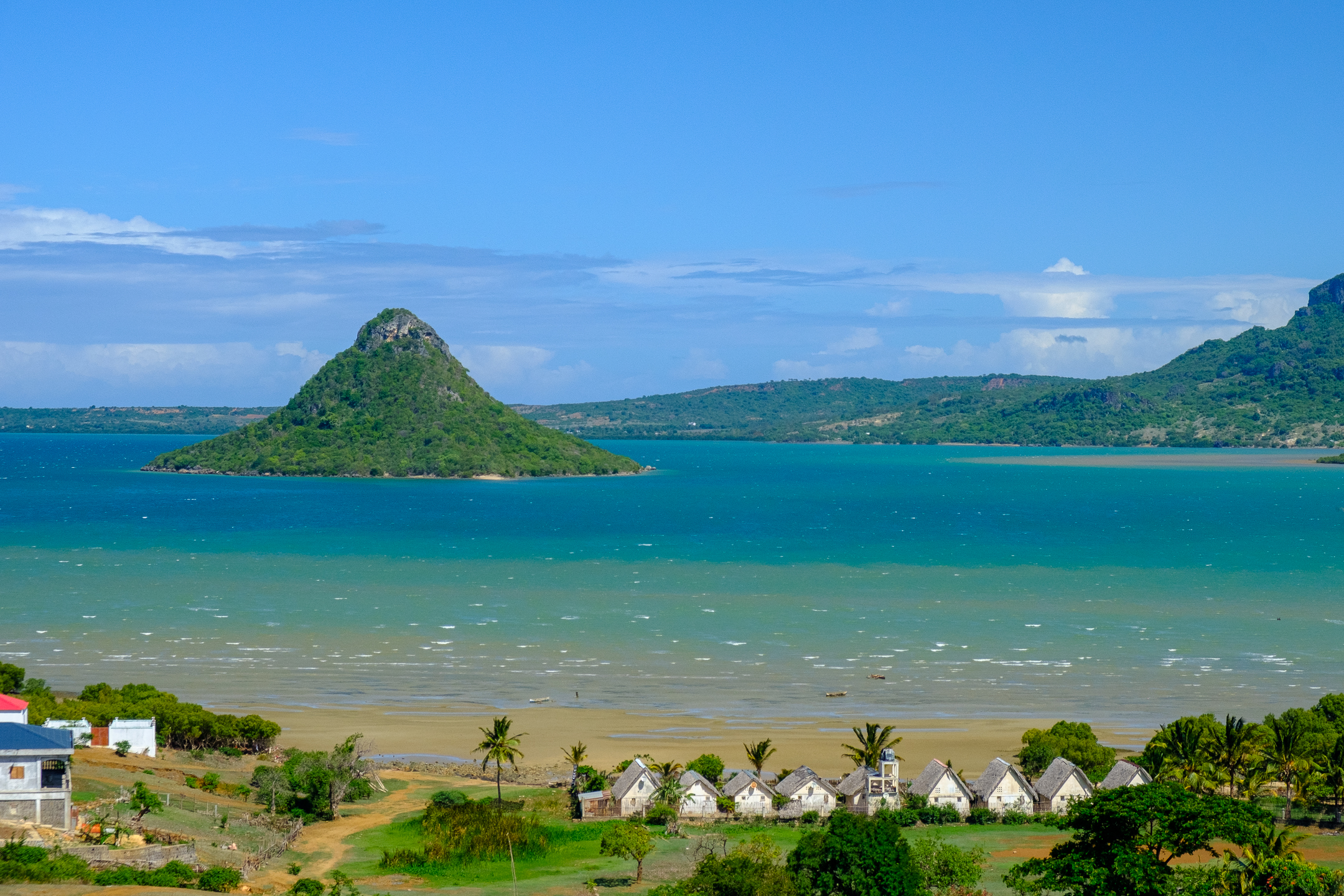
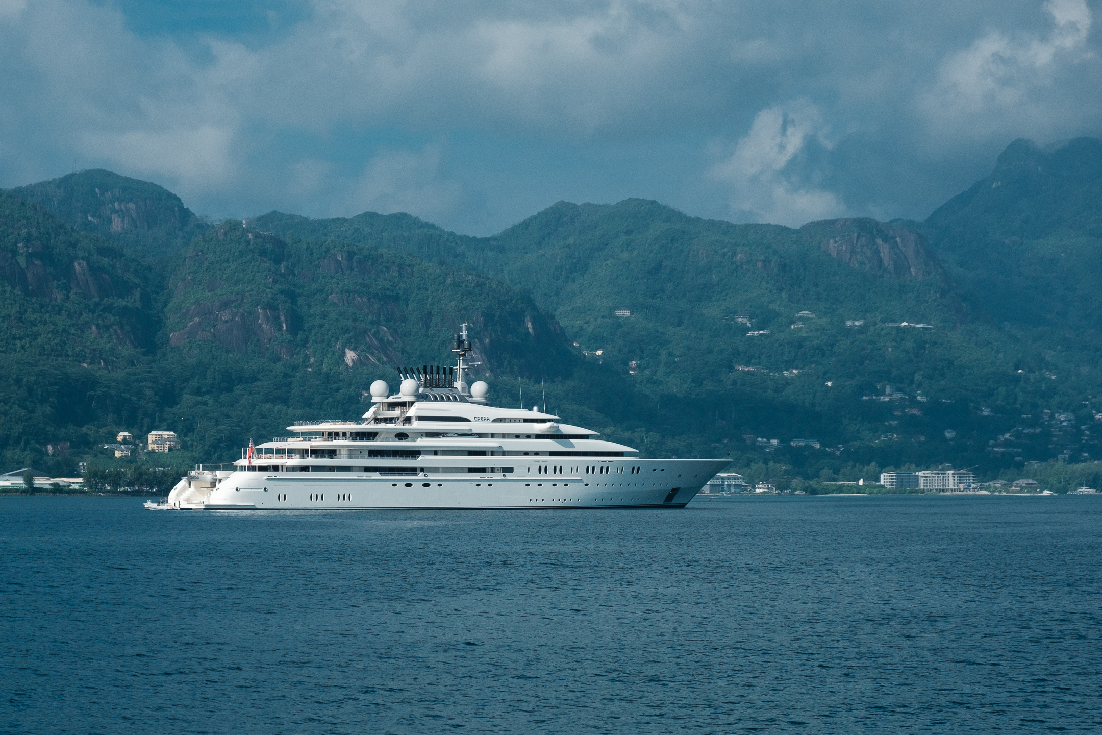
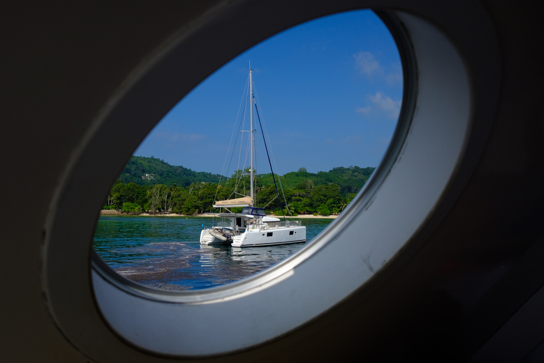
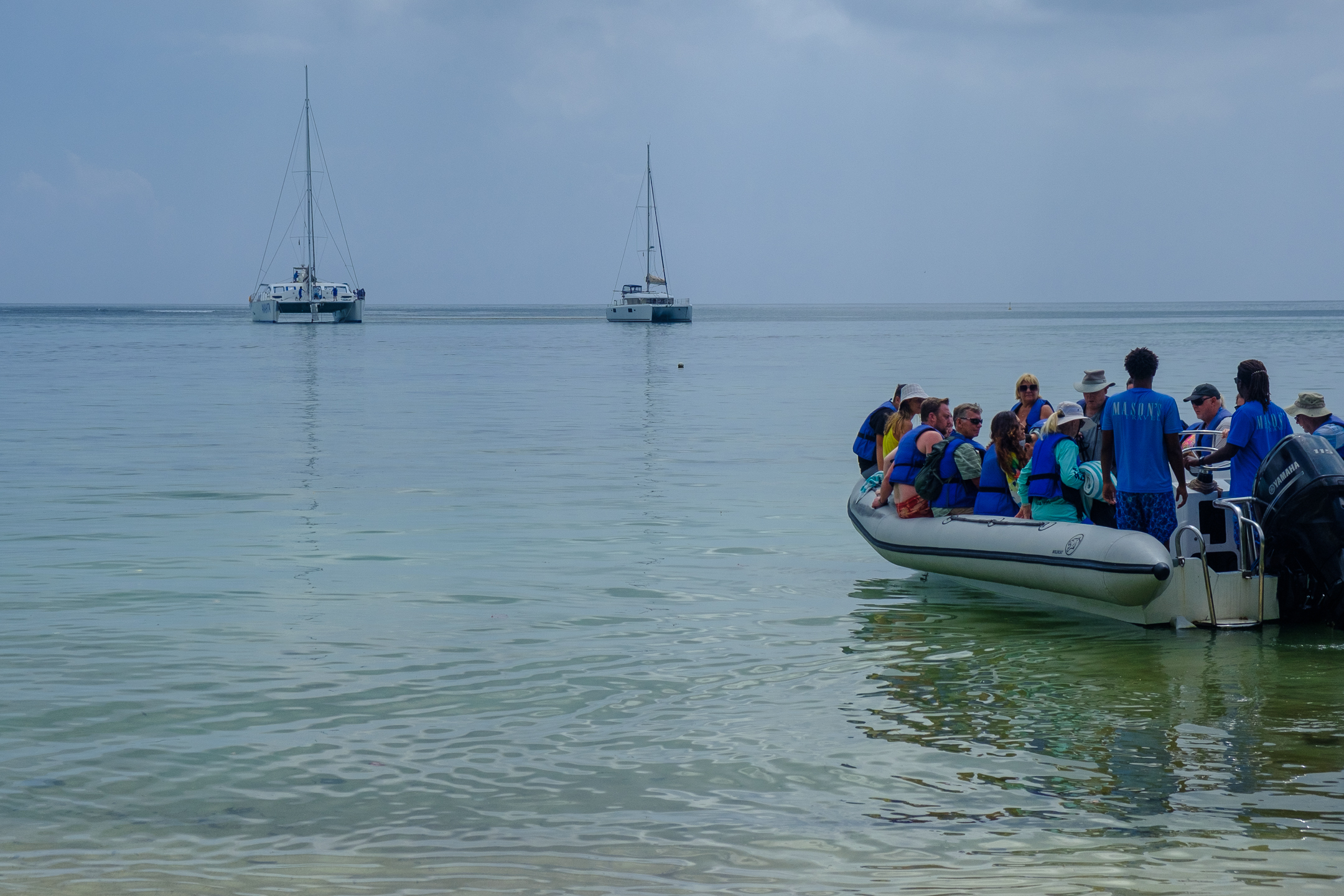
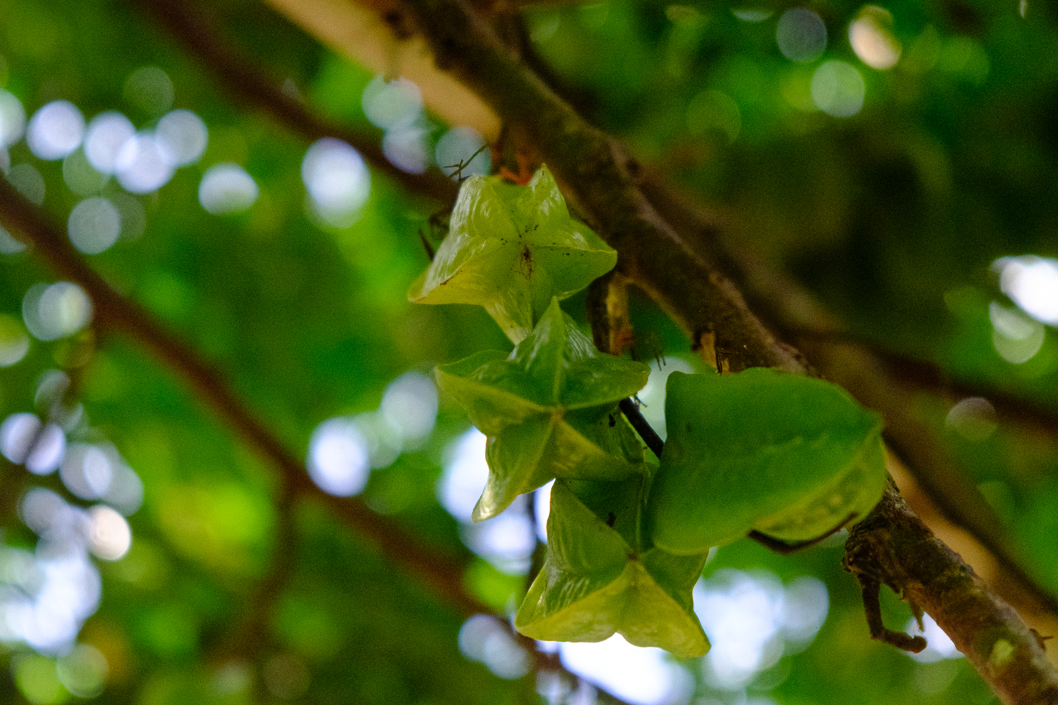
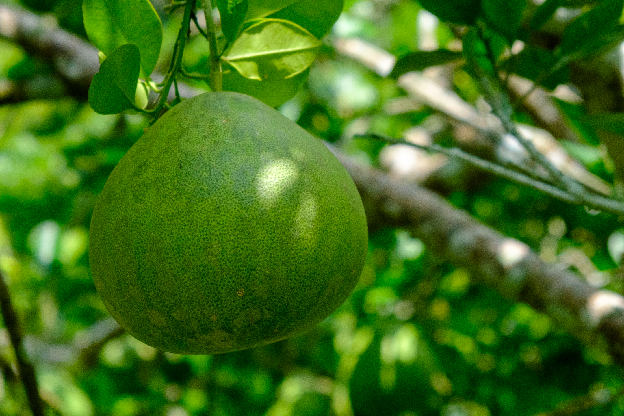
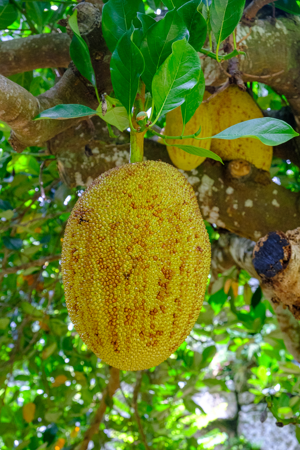
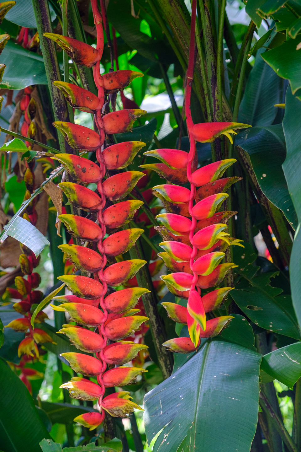
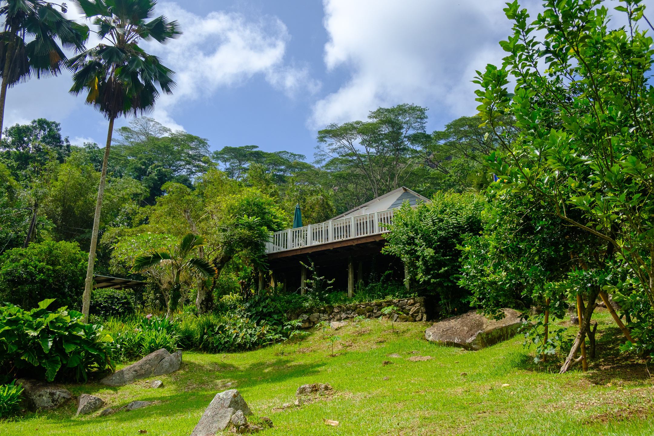
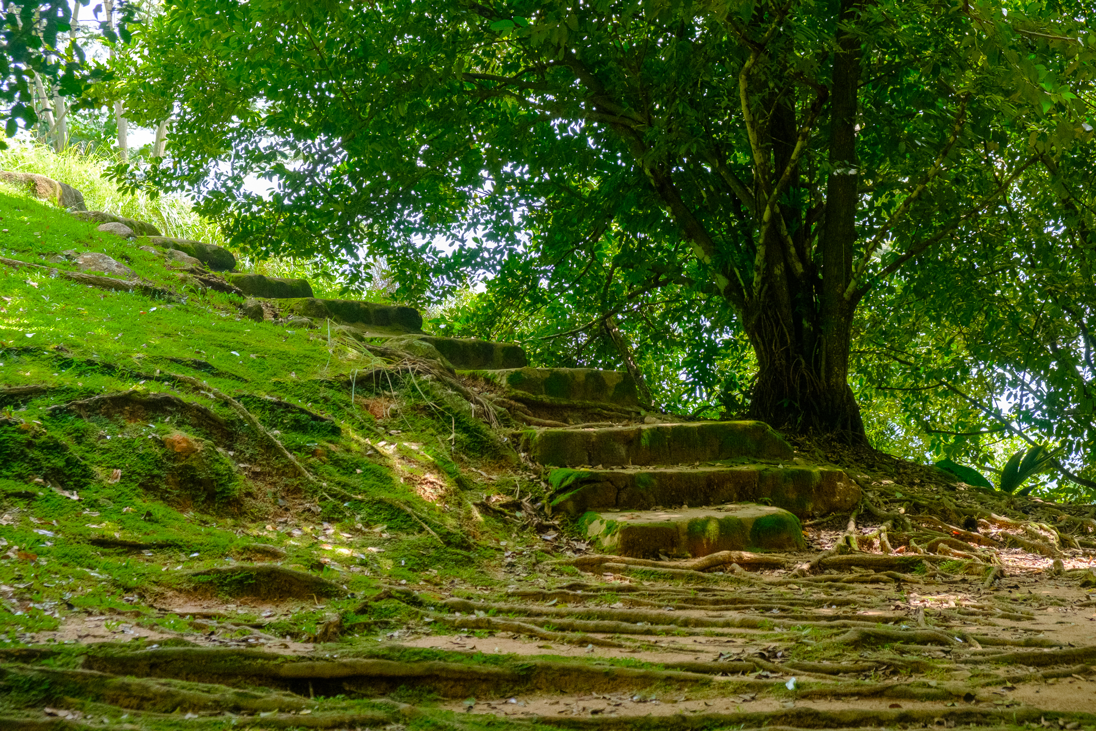
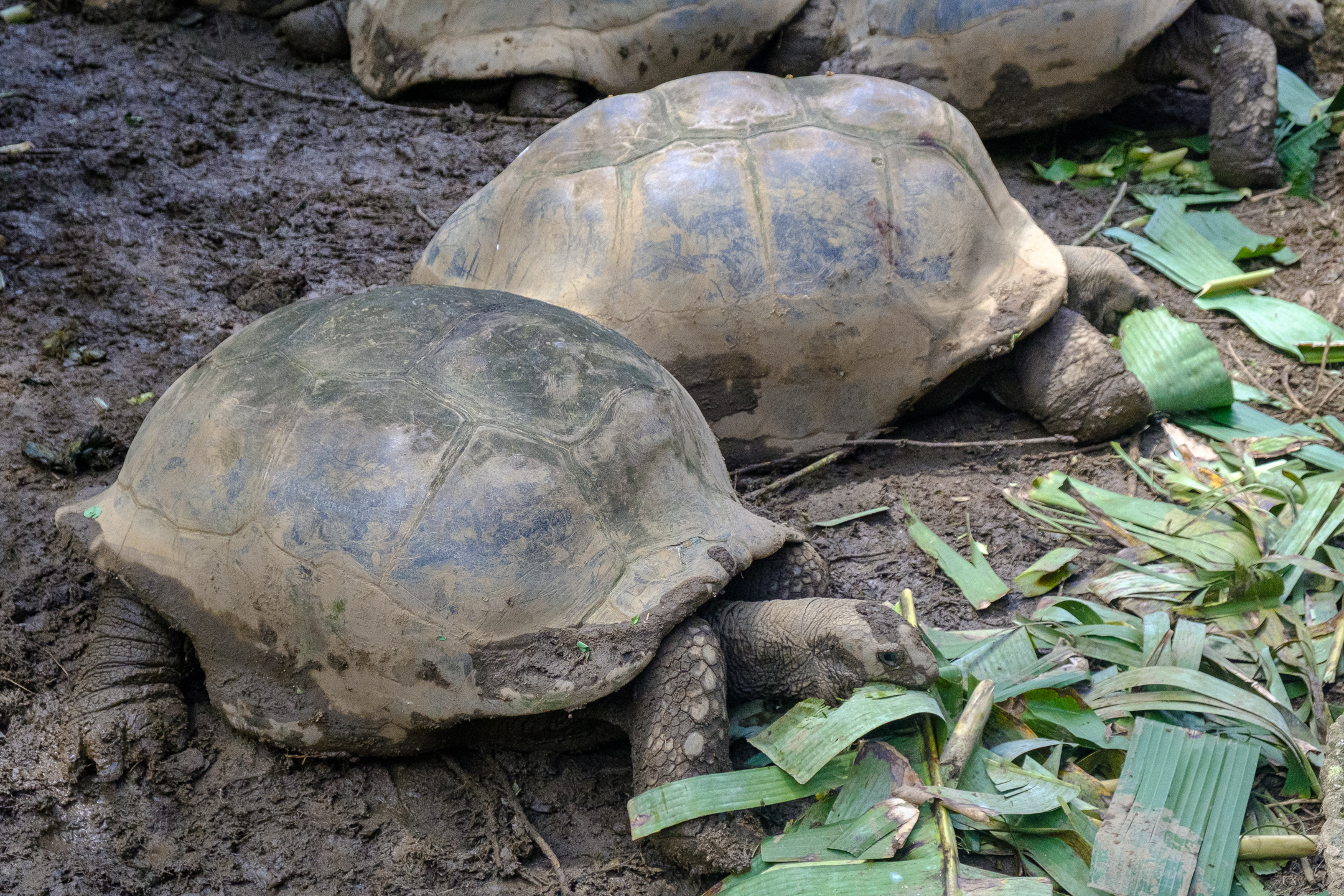
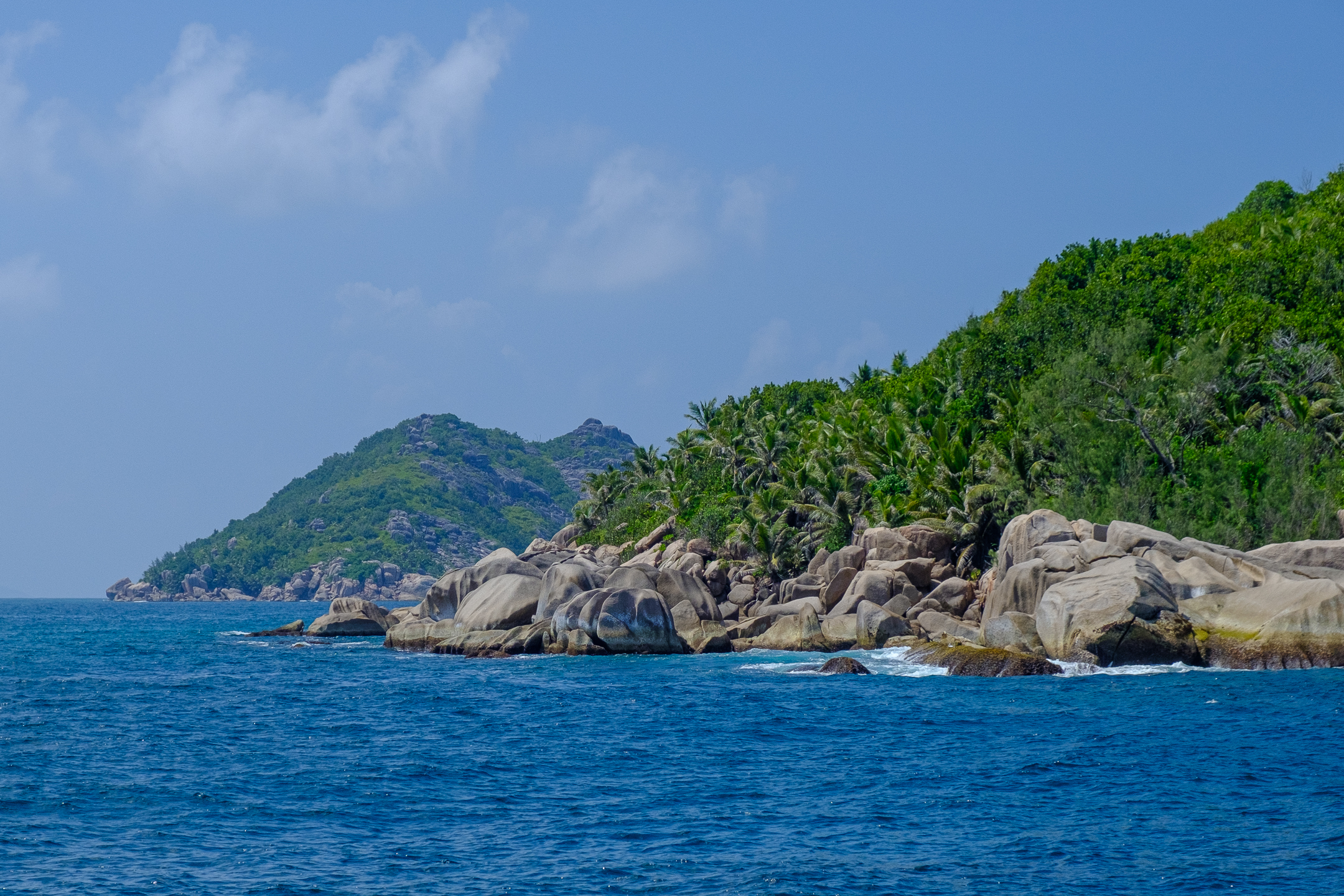
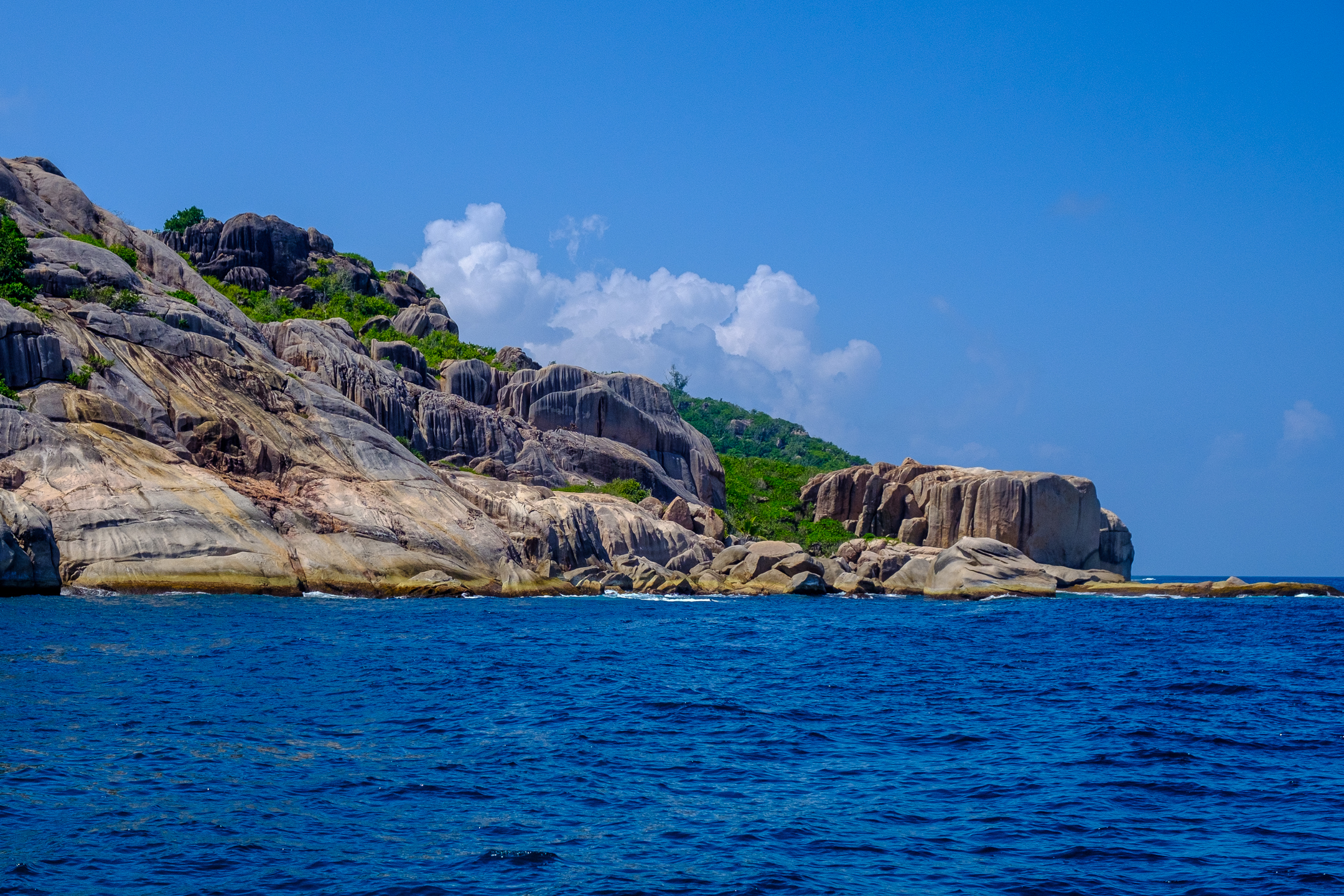
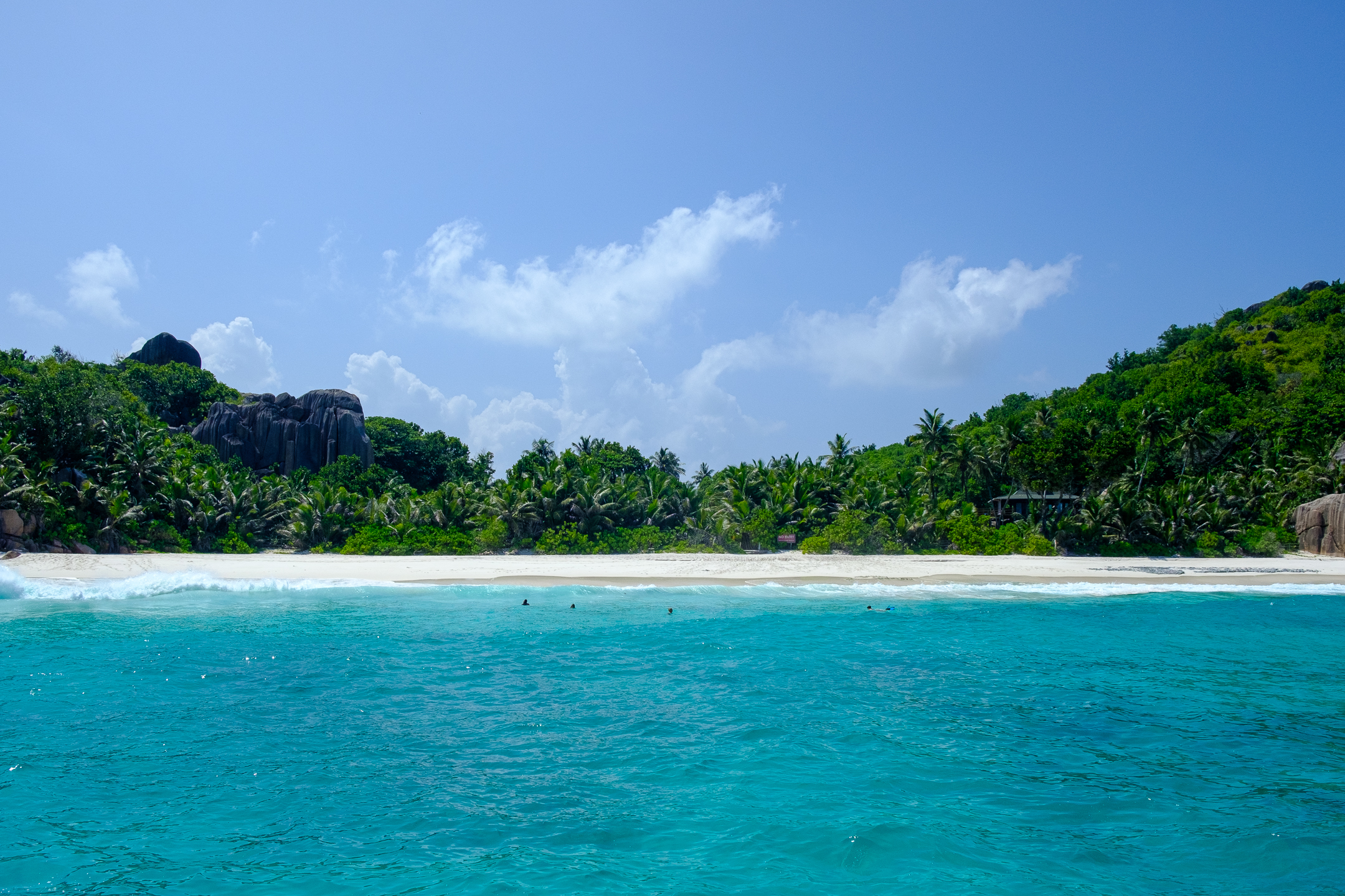
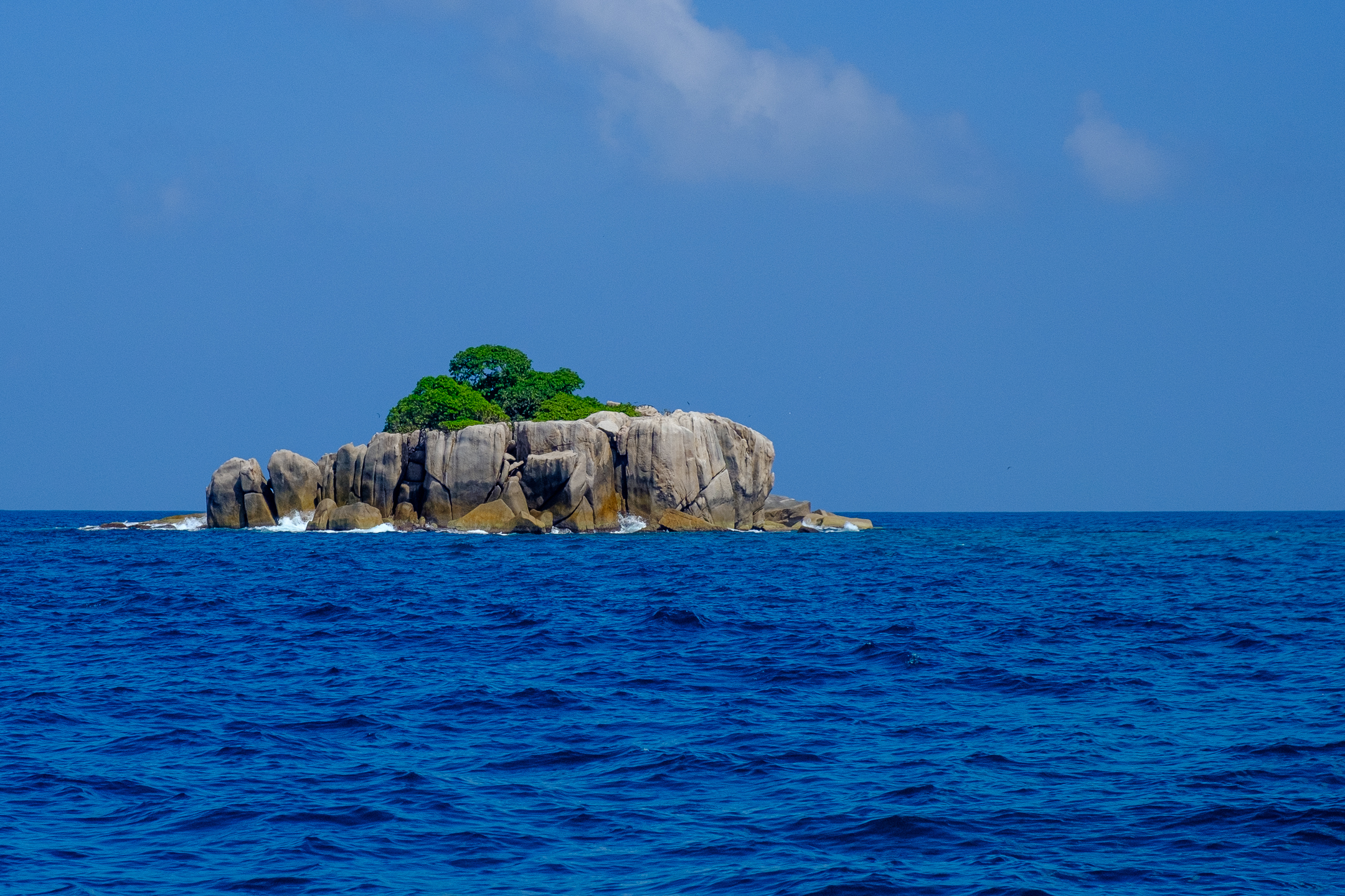
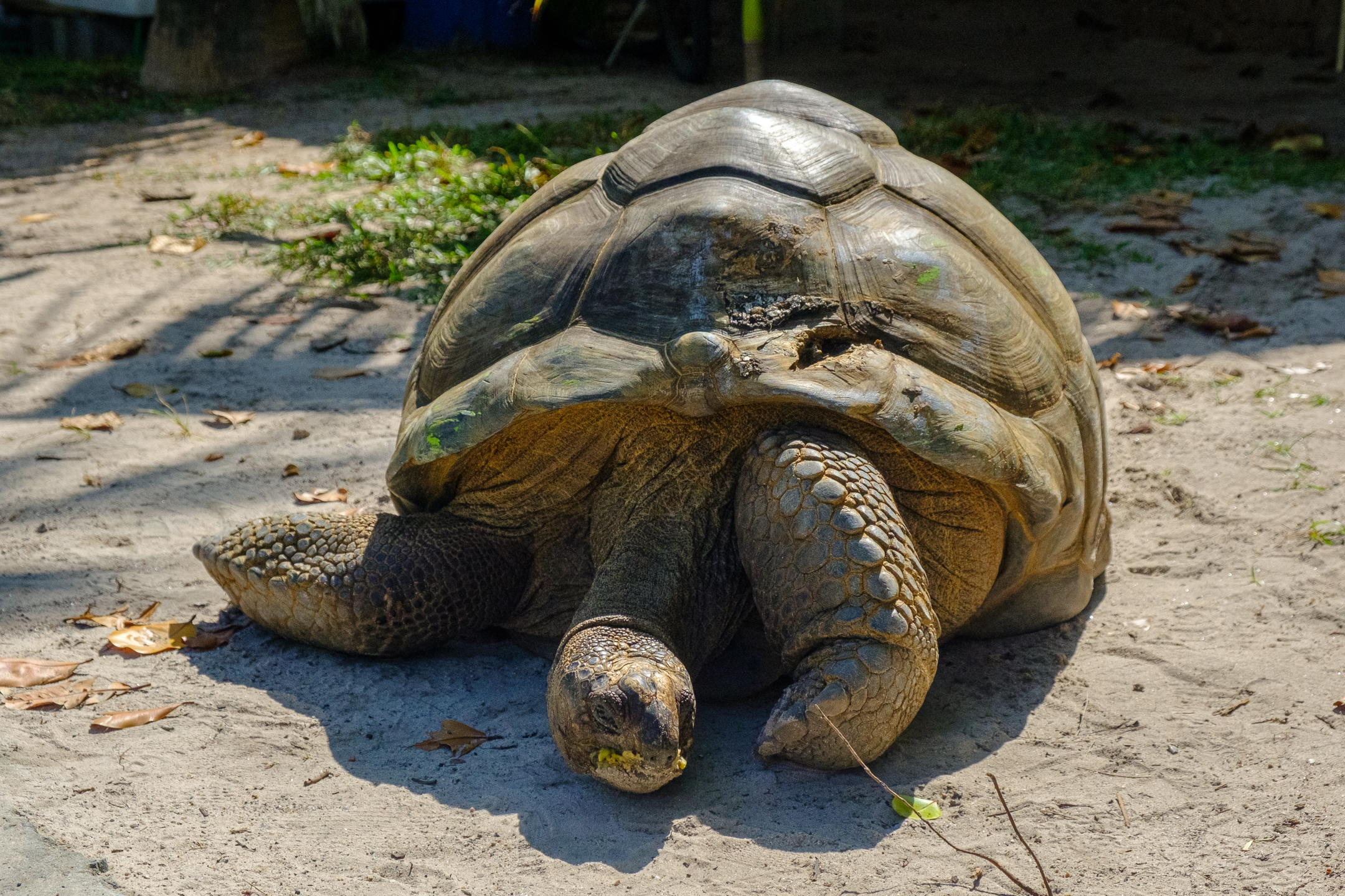
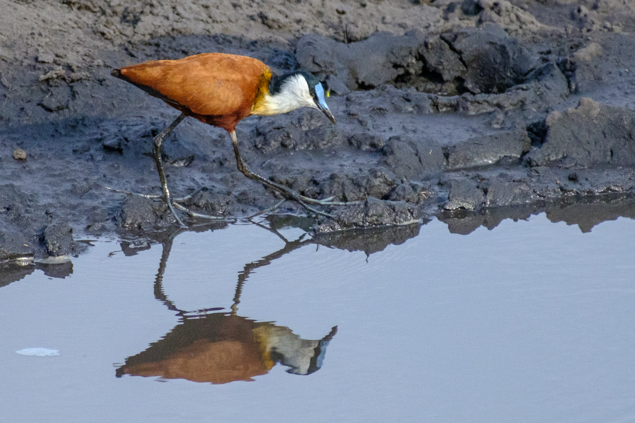
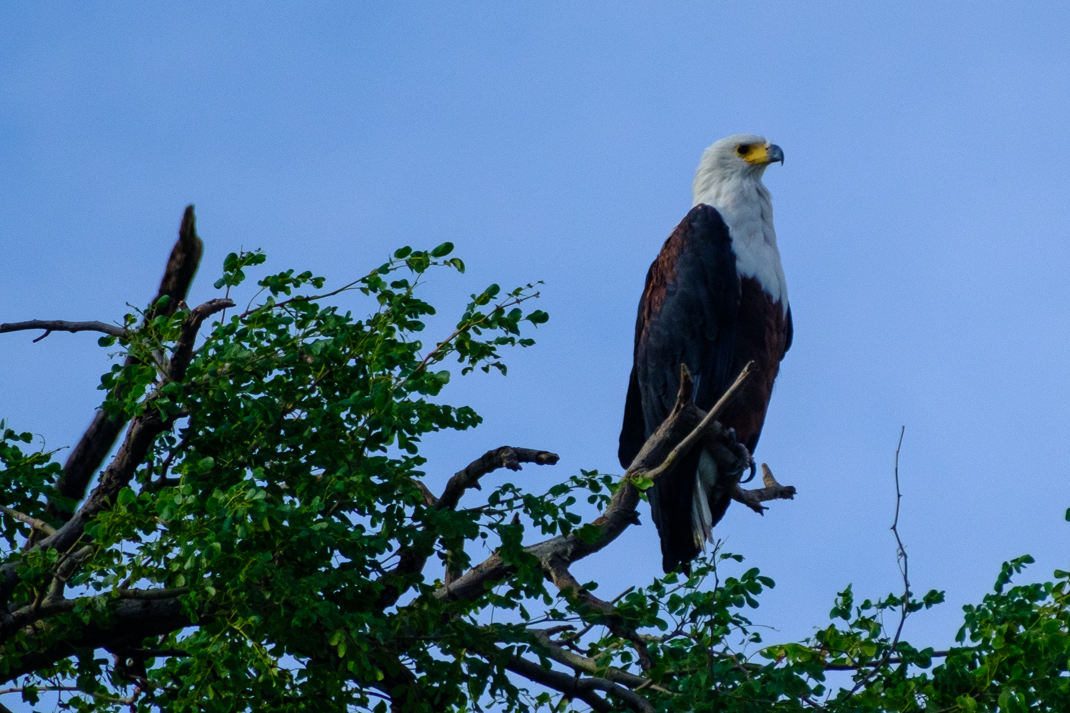
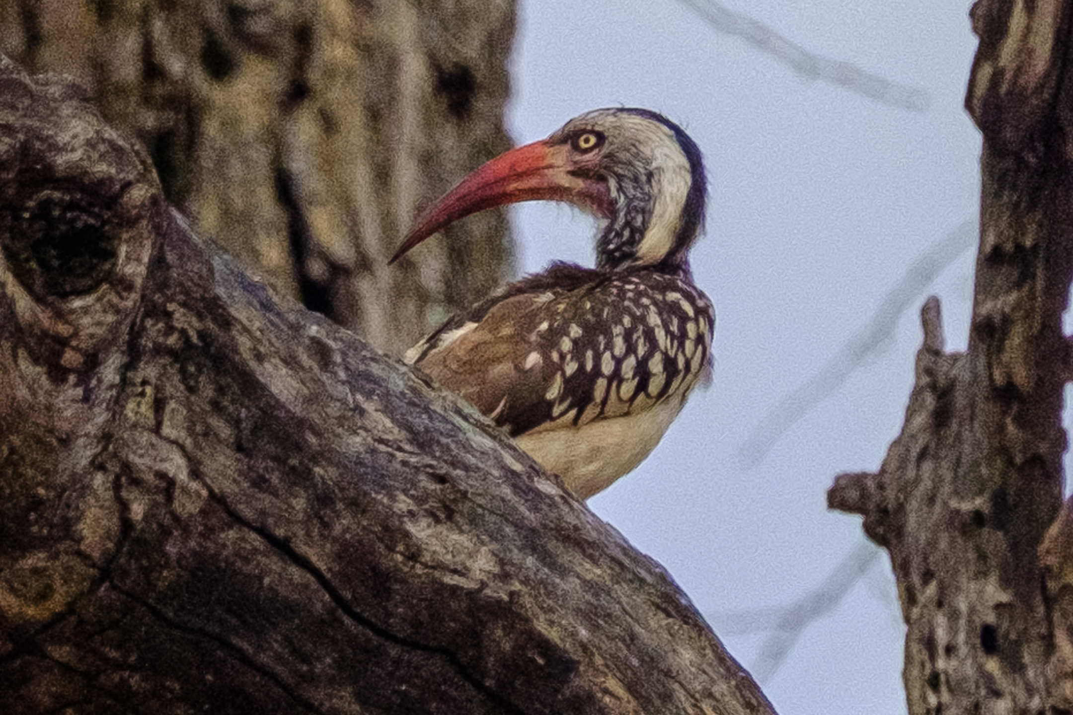
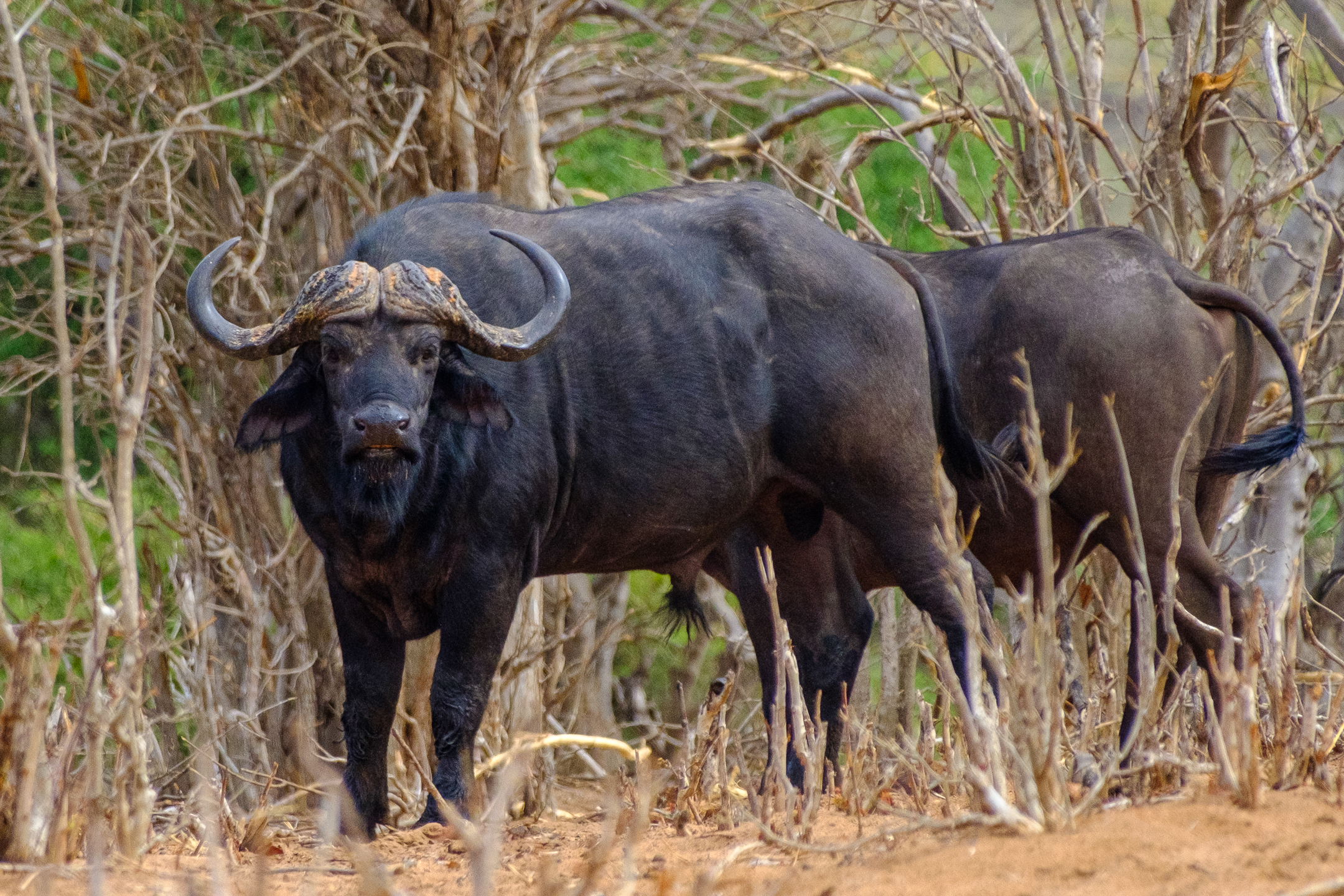
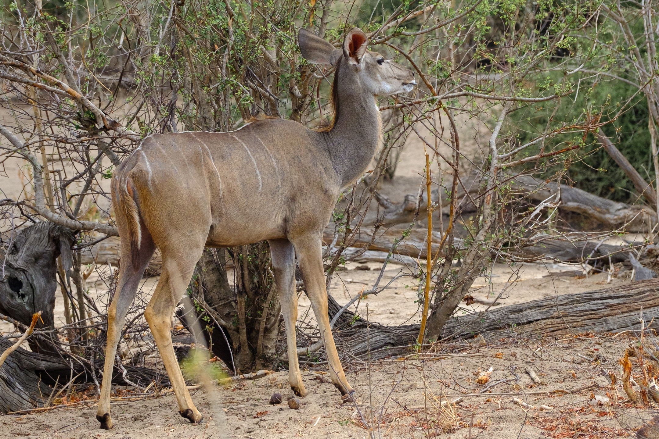
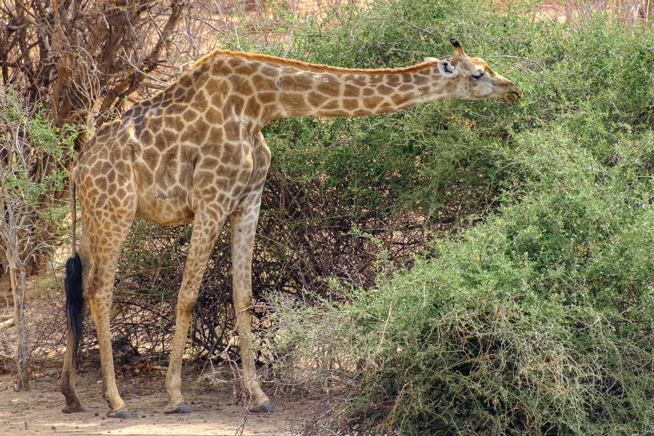
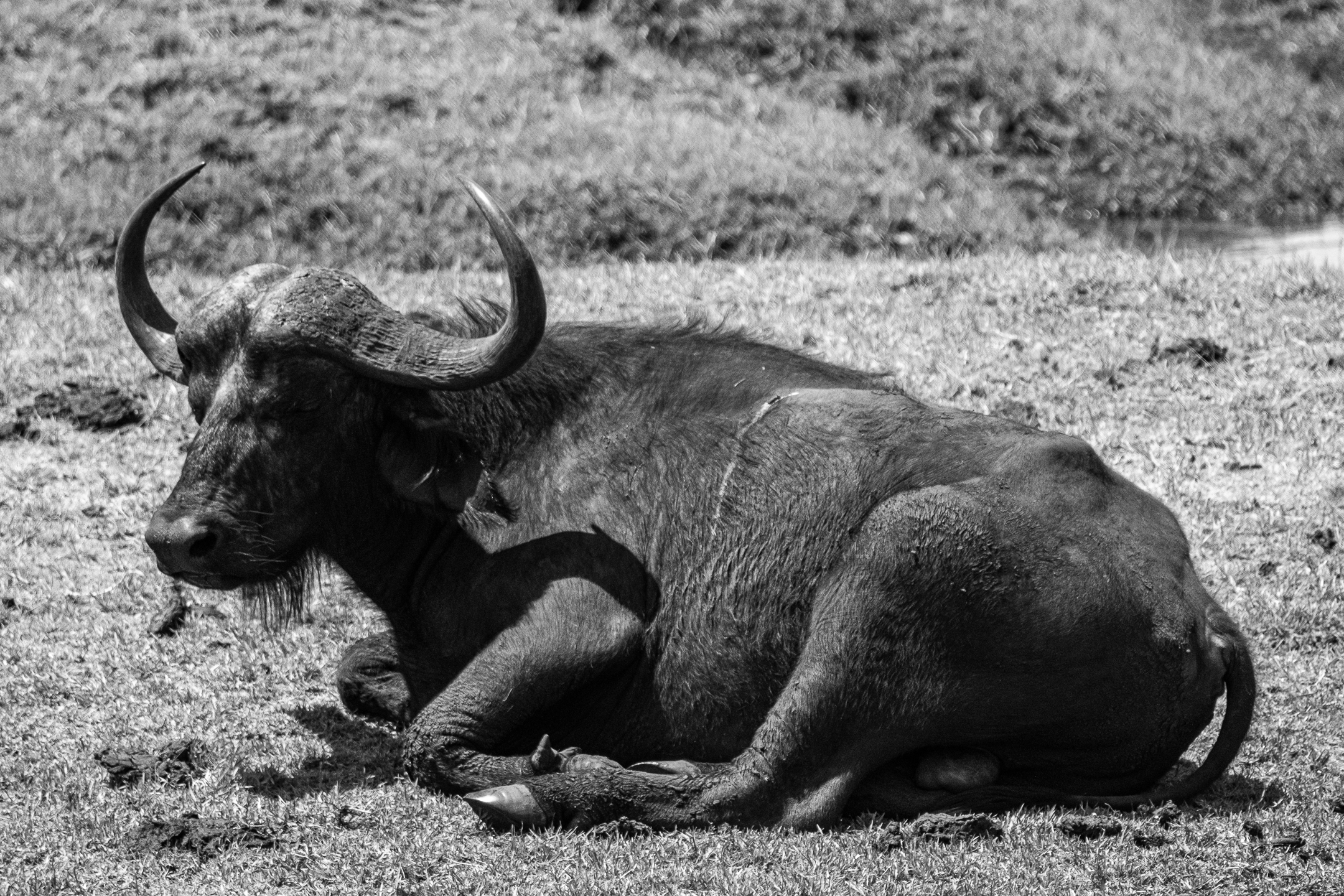
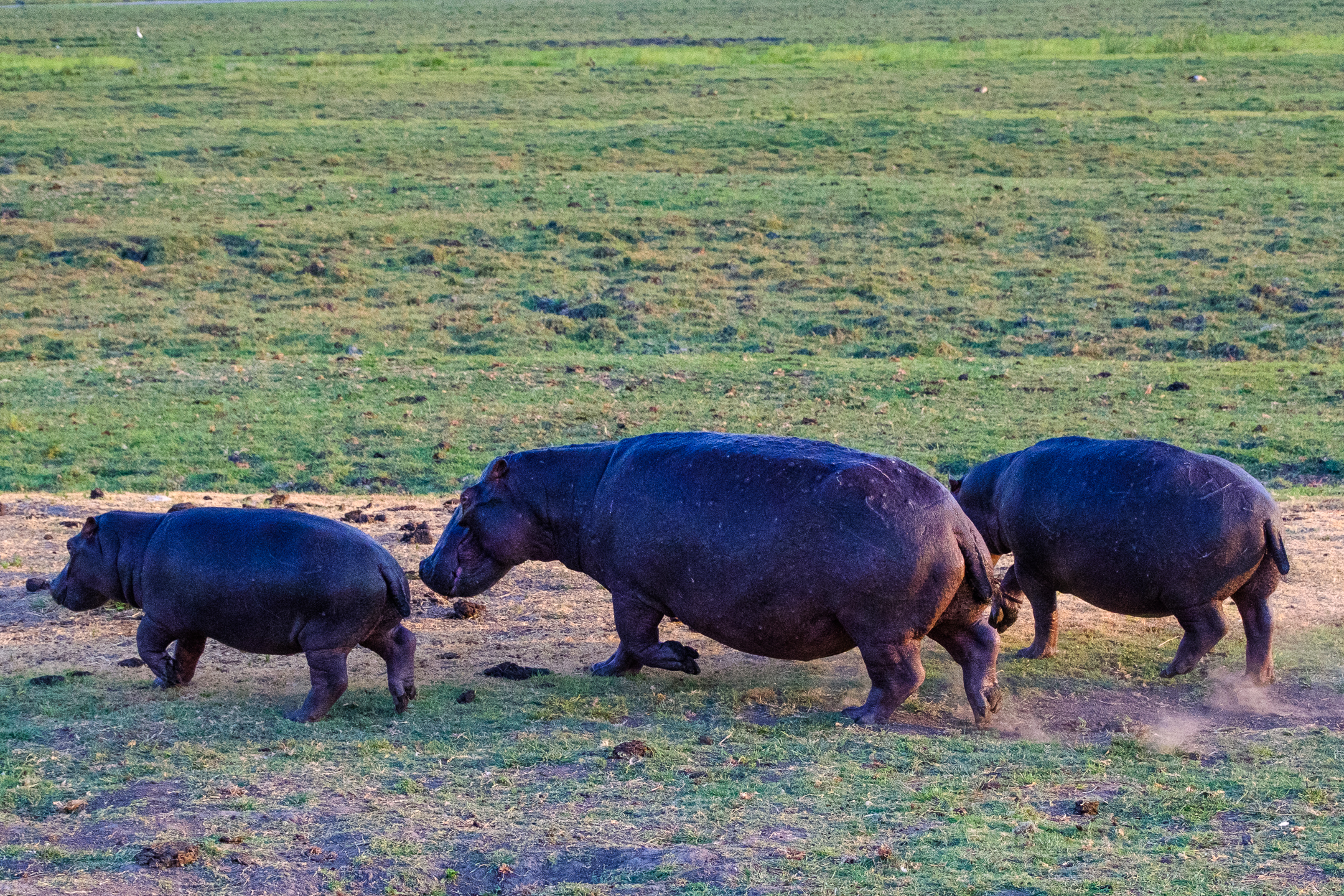
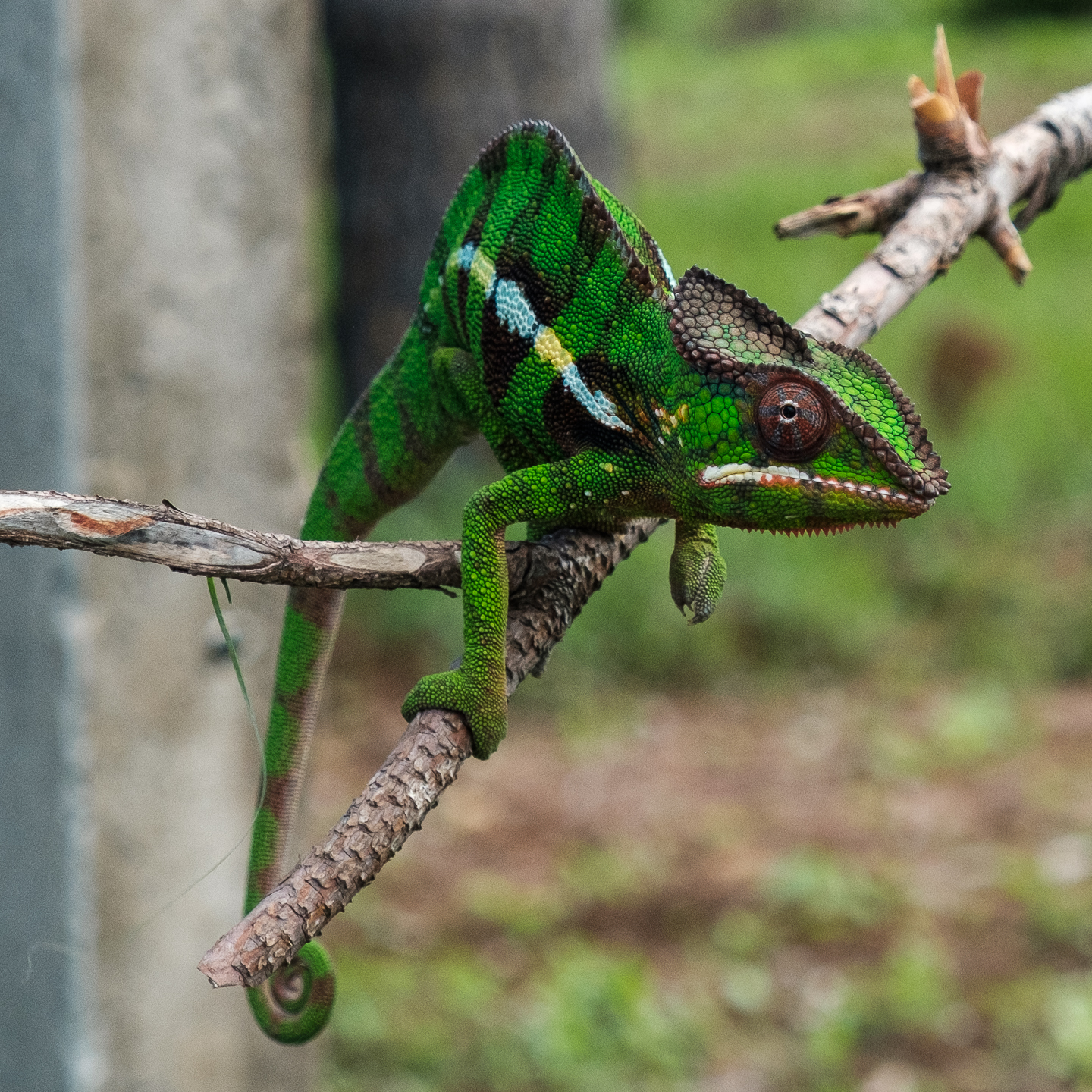
Four African islands in the Indian Ocean – all so very different from each other. The Seychelles archipelago, the “Hawaii of the Indian Ocean,” has beautiful beaches, compelling snorkeling, and giant tortoises. Independent from Britain since 1976, it is a playground of the rich and famous. Madagascar, independent from France since 1960 and the fourth largest island in the world, couples amazing fauna and flora with some of the globe’s worst poverty. Reunion, a department of France, presents a cosmopolitan ambiance with natural beauty. Colonial buildings, amazing waterfalls, and mountain vistas highlight some of Reunion’s many intriguing sites. Mauritius, with nearly 50% of its citizens being Hindu, features a new culture for me. Economically developed and socially stable, this island became independent from the UK in 1968.
These four islands share similar climates and, to a degree, histories, yet they are incredibly dissimilar. How one country can overcome colonization, slavery, and dissent and another succumbs to corruption, poverty, and turmoil… I don’t know the answer…
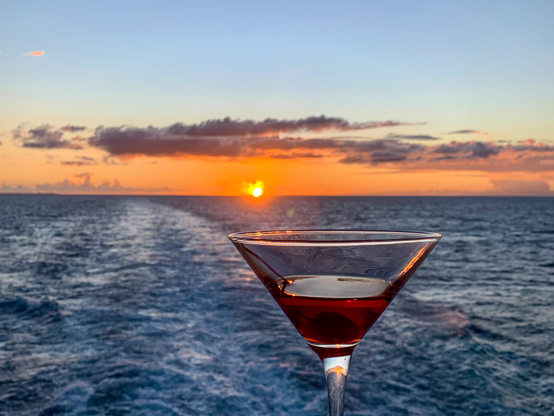
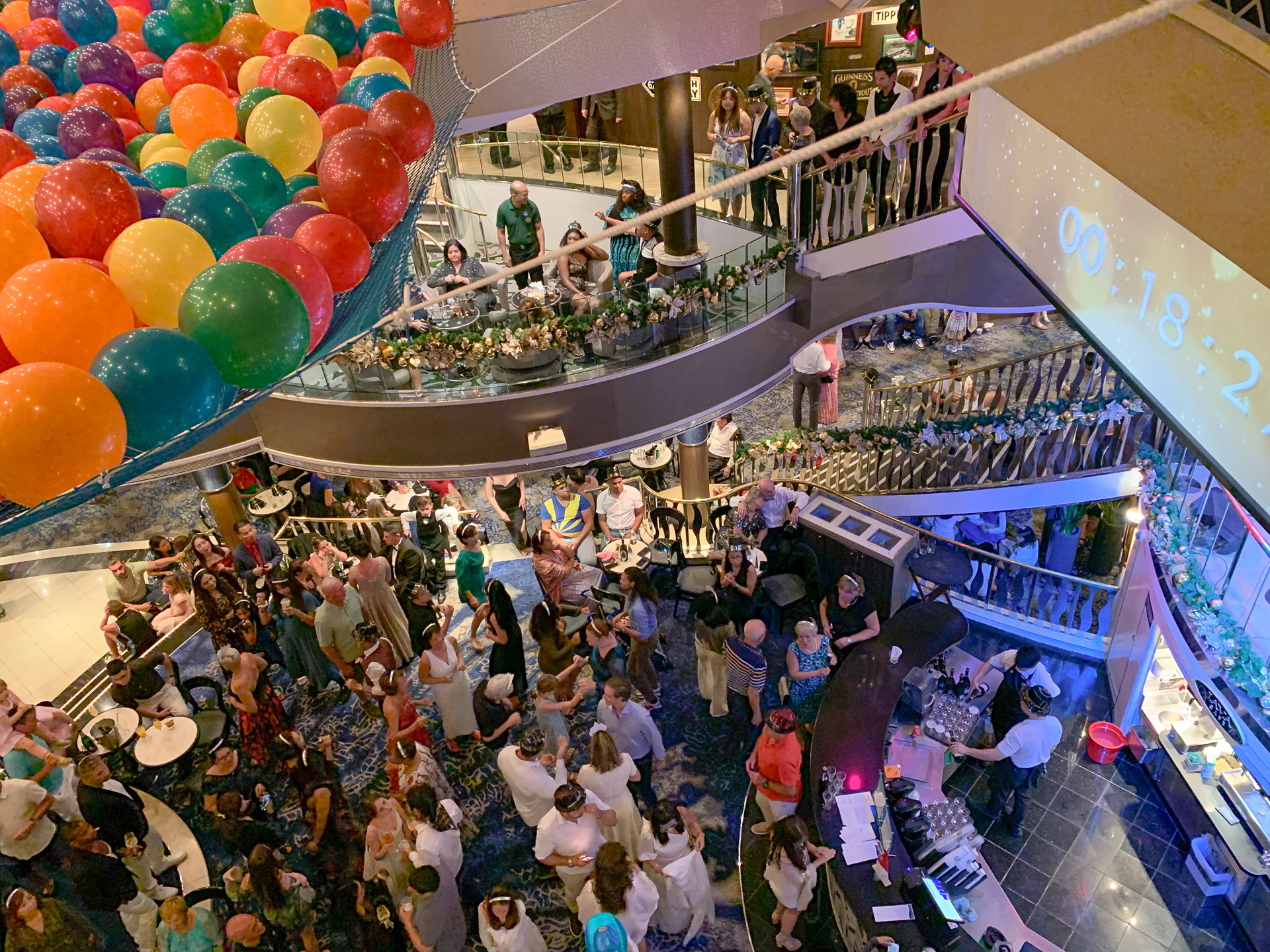
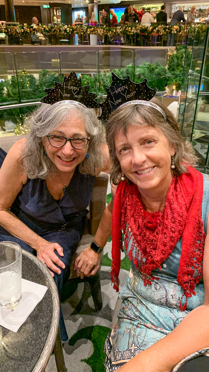
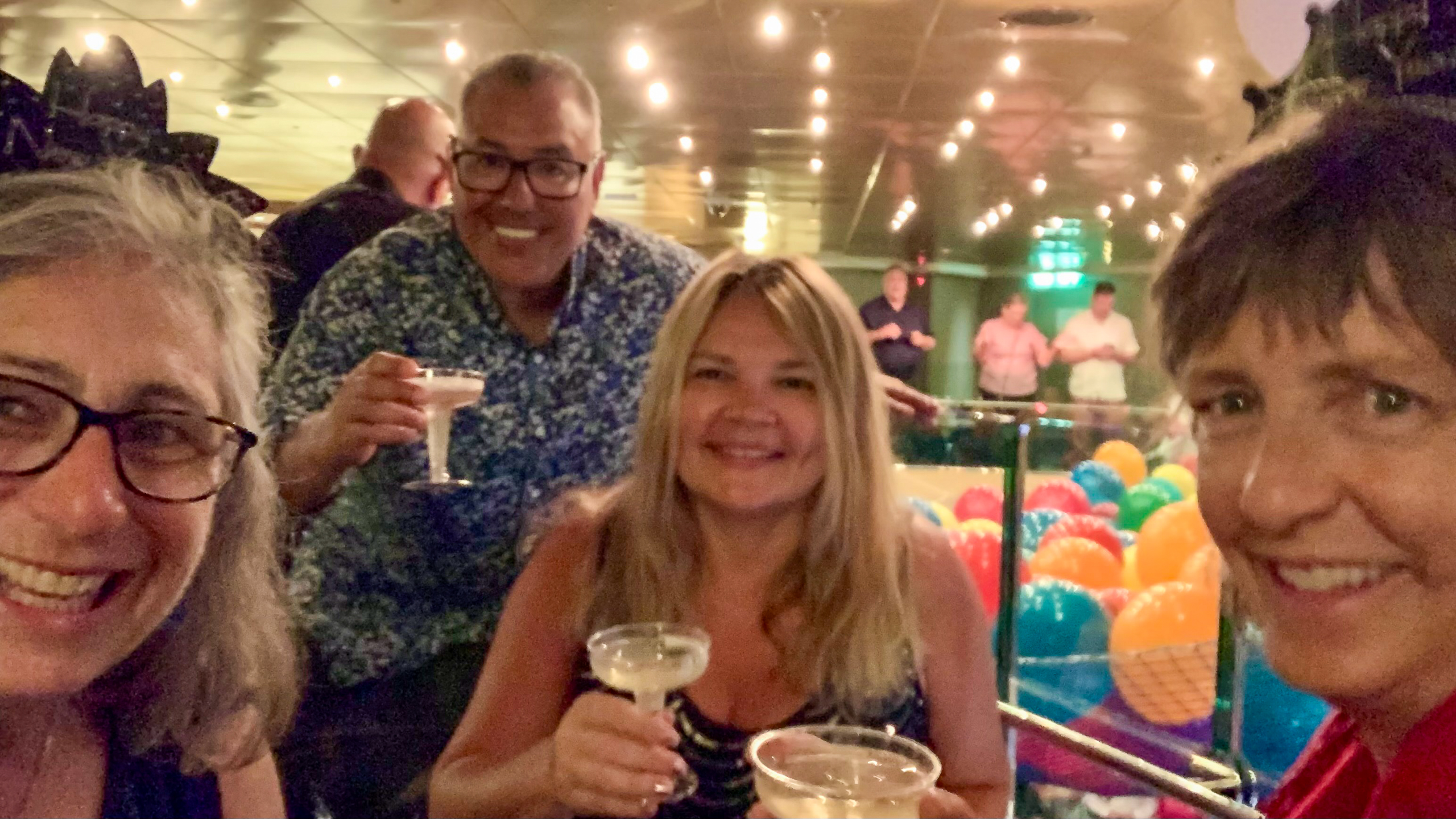
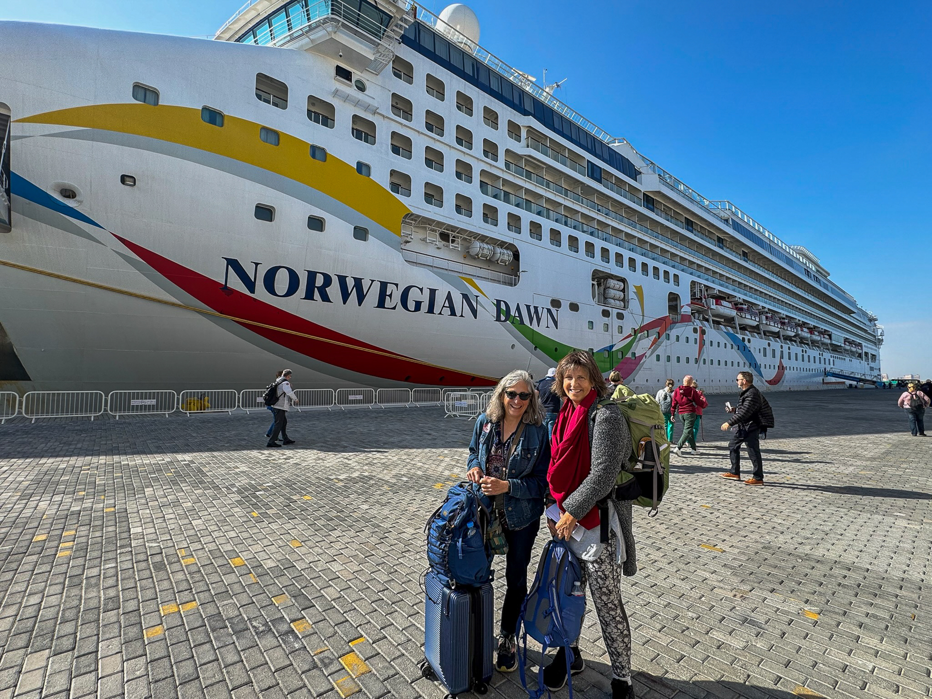
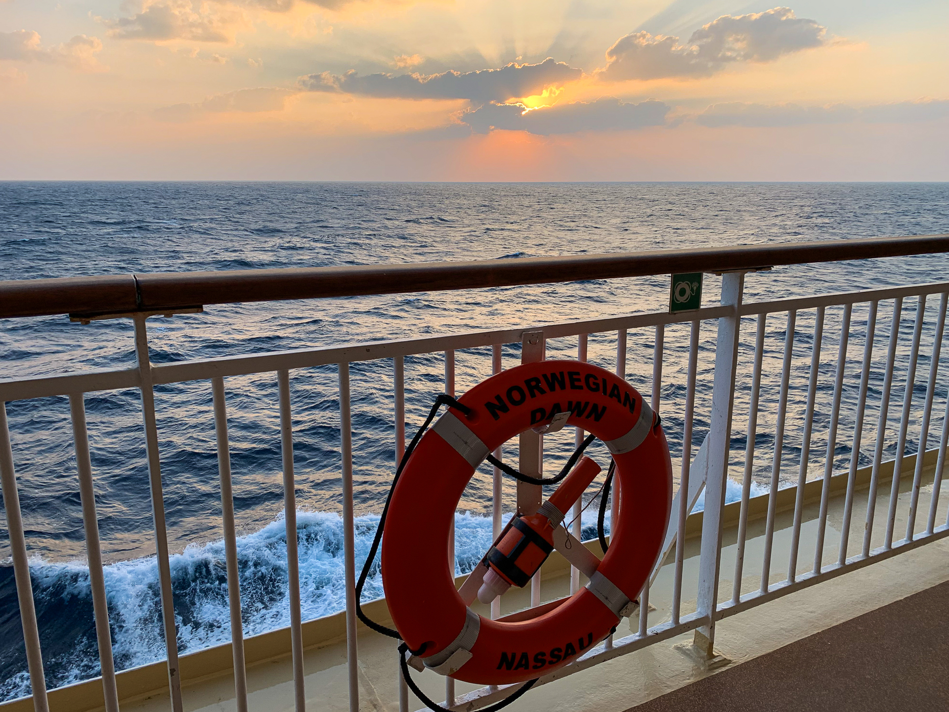
Norwegian Dawn
In my 20s, I went on a weekend cruise from Long Beach to Ensenada with my aunt Bea, my mother’s best friend’s mother who wanted to go on the trip but didn’t want to go alone so she invited me to join her. In 2022, I did a barge and bike trip out of Amsterdam. This was, however, my first “big” cruise trip, with a traditional ship and a big itinerary.
I thought it might be fun…and a bit boring and stodgy.
I was right. It was fun!
I was also wrong. It was not boring or stodgy!
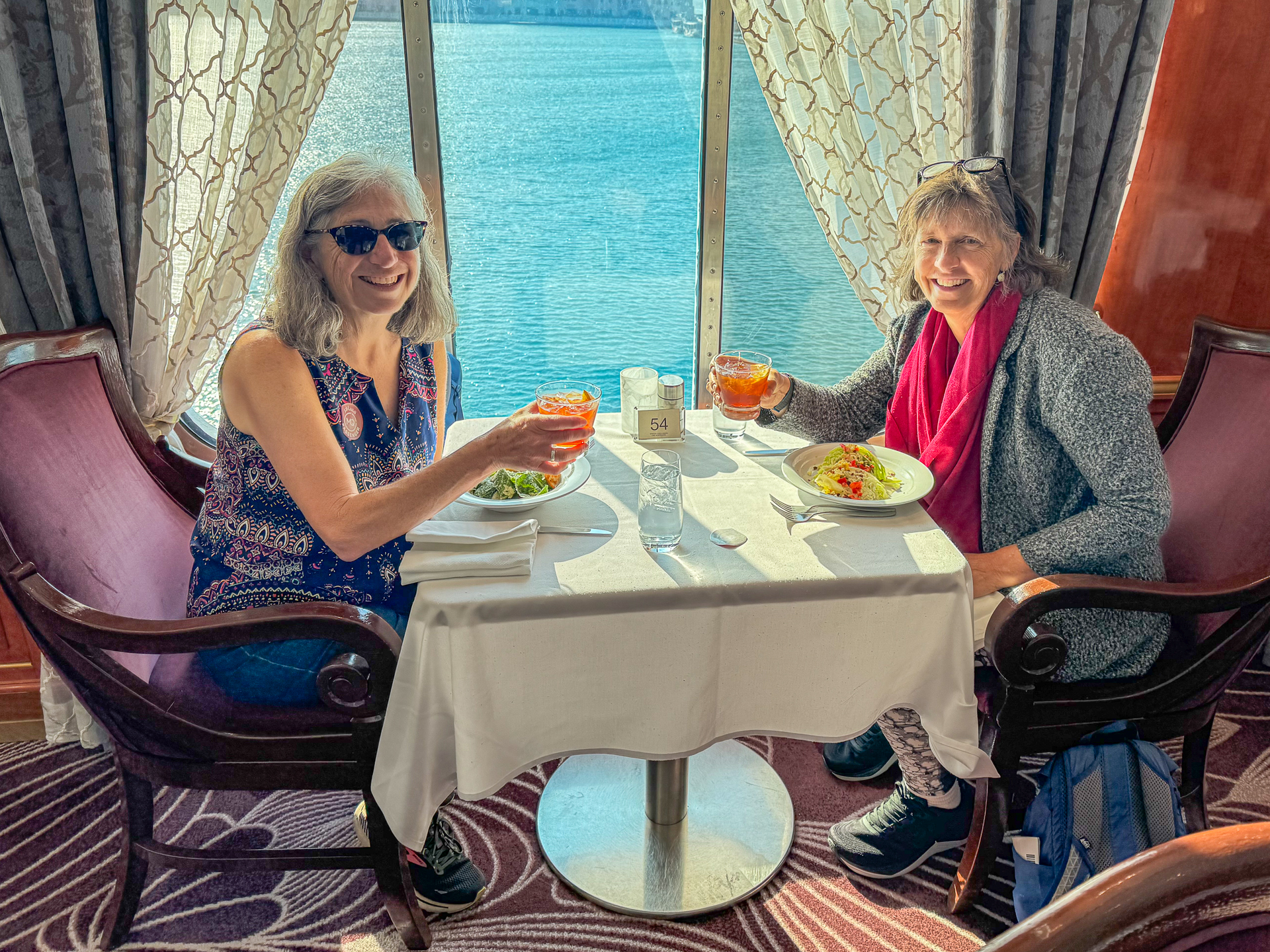
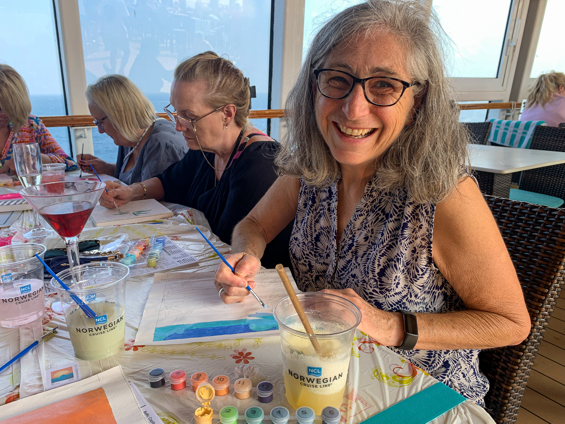
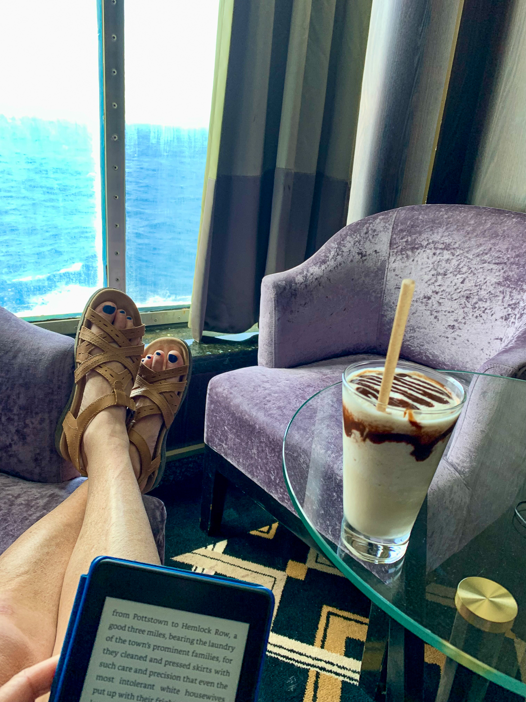
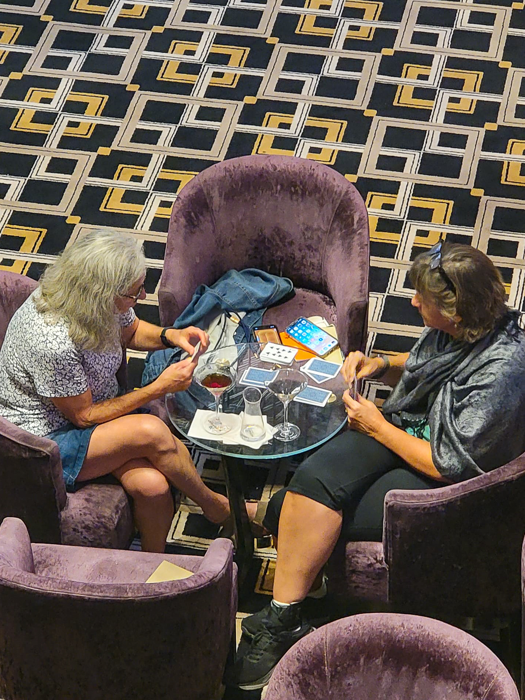
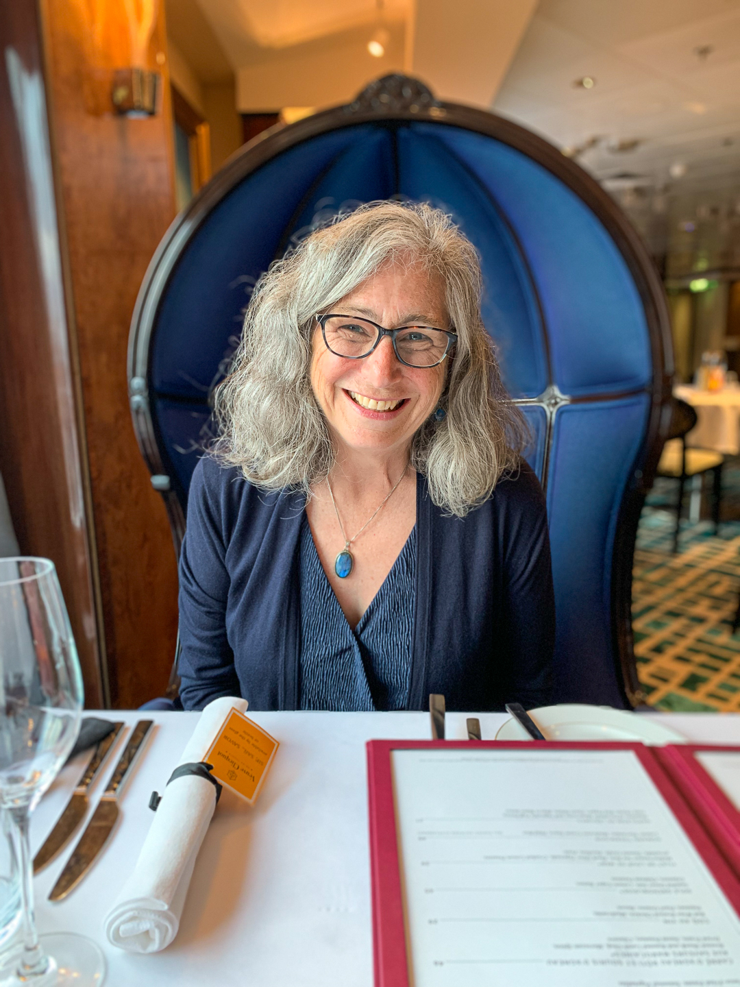
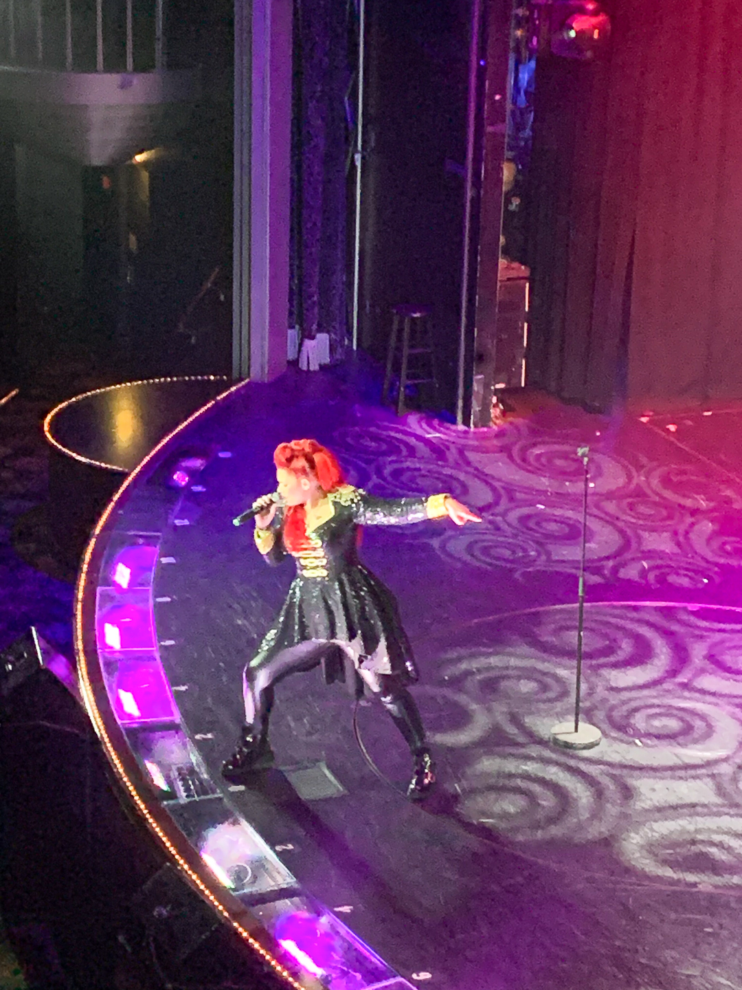
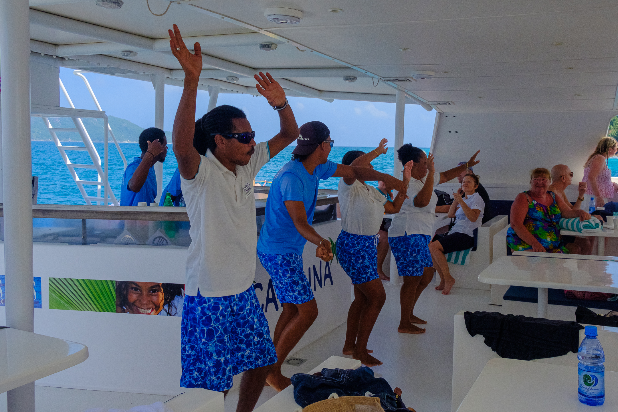
The Norwegian Dawn, a mid-sized vessel with about 2,300 guests and 1,000 crew members, felt small and approachable. I enjoyed my at-sea days and ship time, while making friends with several other passengers, relaxing in the thermal spa, and indulging in food and beverages. Surprising to me were those people who complained about the Norwegian Dawn – a little older ship, a bit worn around the edges, not enough deck chairs in quiet areas, monotonous food… Although I could understand, to a degree, how they felt, I disagree with their perceptions. To me, the ship was warm, comforting, and welcoming. It was easy to find spaces for peace and rest. The food was yummy – as were the drinks. And the crew! Amazing people!
Will I go on another cruise? YES! Will I go with Norwegian Cruise Lines? YES – if the voyage has an itinerary that fascinates me.
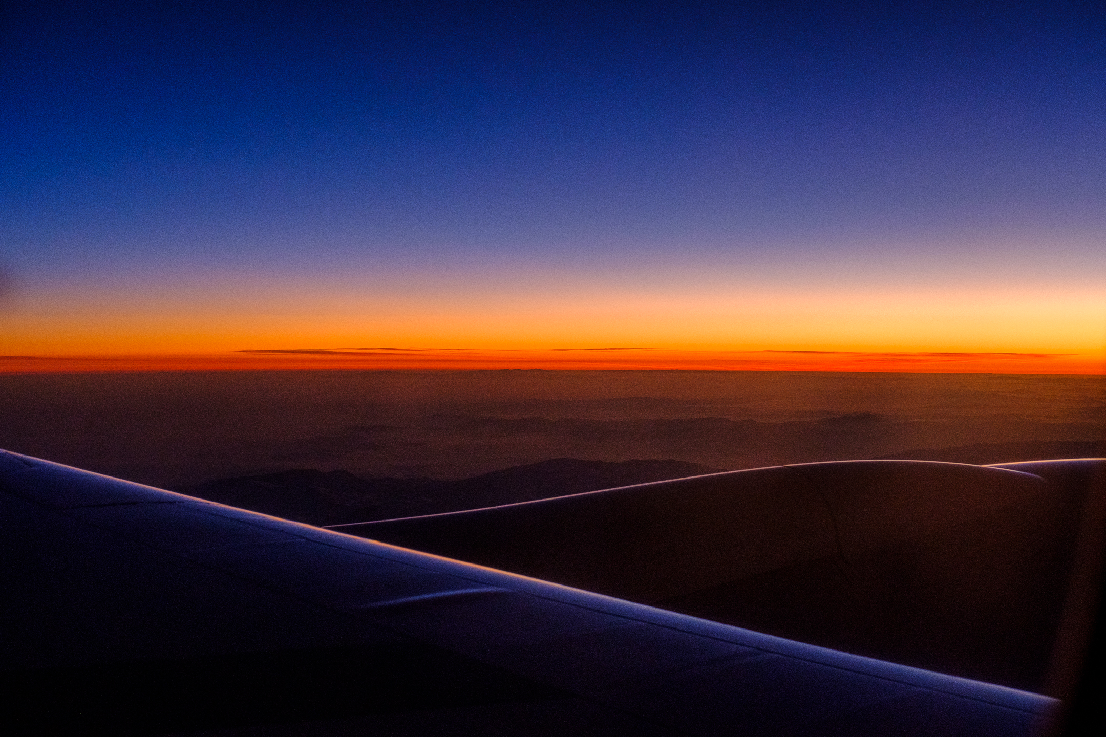
Flight Home

One final thought: Traveling to the Arabian Sea and Indian Ocean takes a LONG time! To get home, we flew six hours from Mauritius to Dubai and then another 16 hours from Dubai to San Francisco. Afterward, I drove home from the Bay Area. That’s a lot of travel! Would I do it again, especially only five weeks after returning from Southern Africa? Yep. I sure would! 🤣