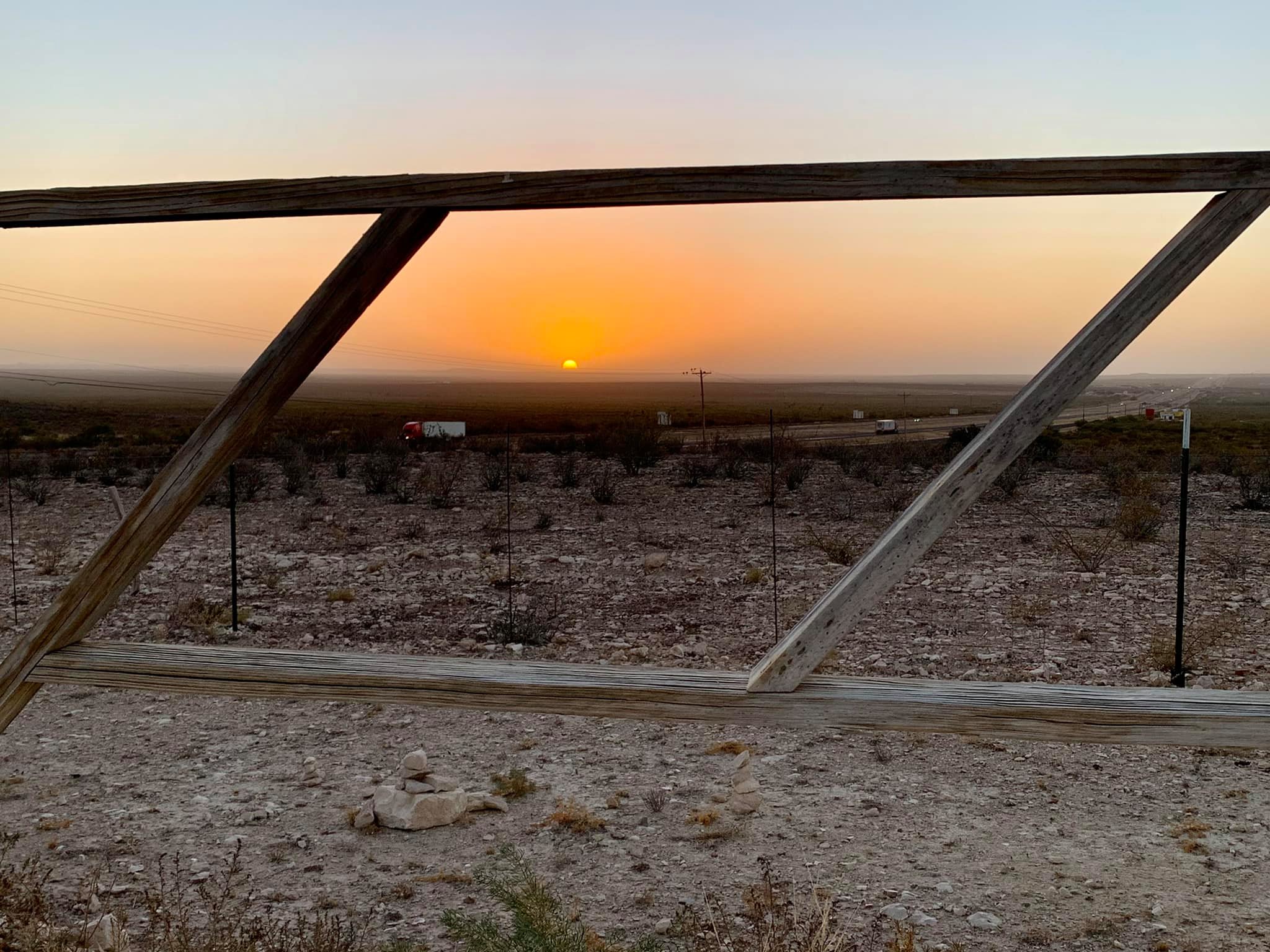
What a wonderful day, a returning to camping as I started… BTW, Fort Stockton…no need to visit unless you need a stopover. Nothing exciting or interesting there – IMHO.
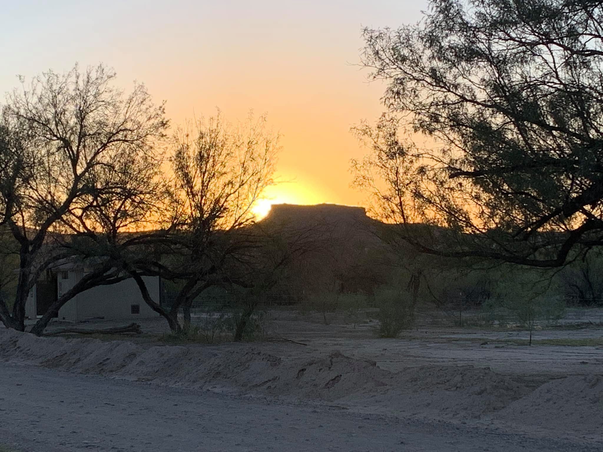
For one of the first times, I felt a bit anxious about going to Big Bend National Park. The distance spooked me. Lack of knowledge of the park had me on edge. Cottonwood campground sports no hook-ups or dump station. However, knowing that I could turn around if my anxiety turned to fear, I loaded up on water, dumped my waste tanks, filled up on gas, and drove the many miles to Big Bend.
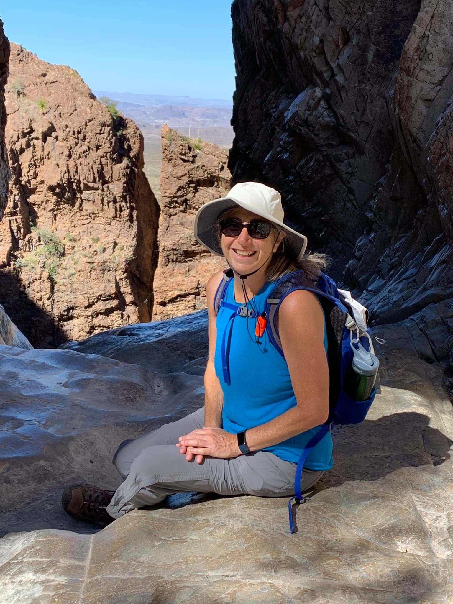
At the entrance, the young ranger greeted me sweetly, gave me my maps, and directed me to the nearby rustic visitors center saying the rangers are very helpful. I walked in and spoke to the kindest most-understanding ranger, a woman around my age. I explained that I’m a solo traveler, I’ll be here for two nights, I’d like to hike 5-8 miles on not too strenuous trails as a solo hiker safety precaution. She showed me exactly which trails she recommended for me and explained why. I so appreciate rangers who listen and provide individualized guidance!
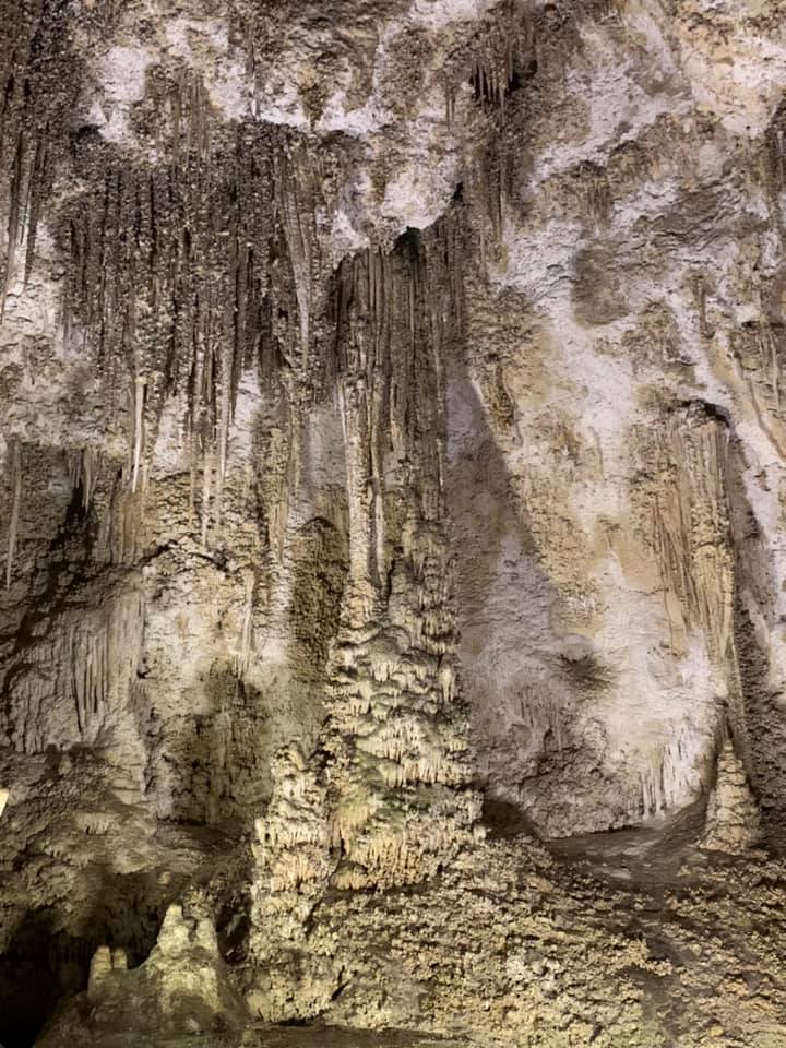
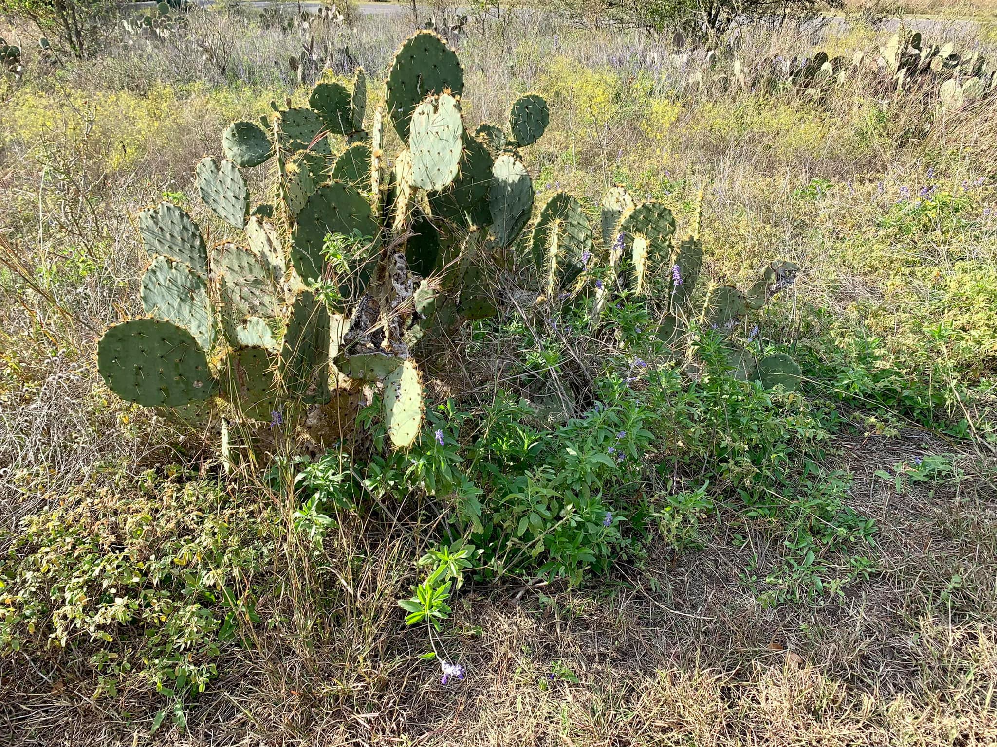
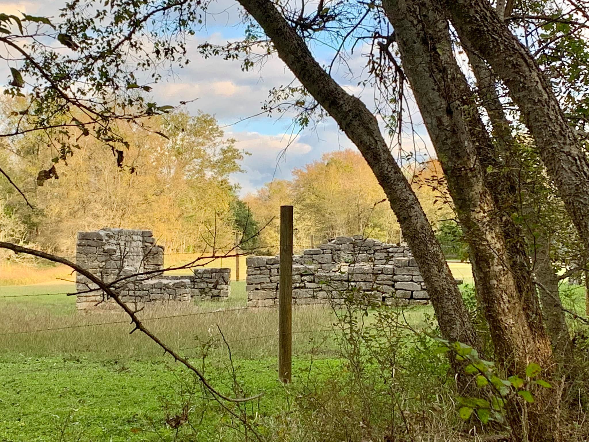
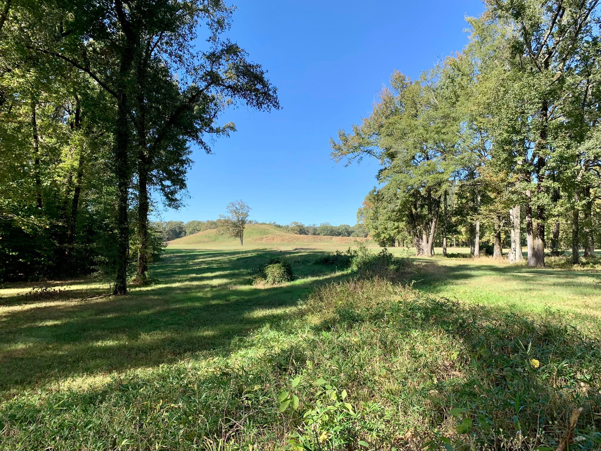
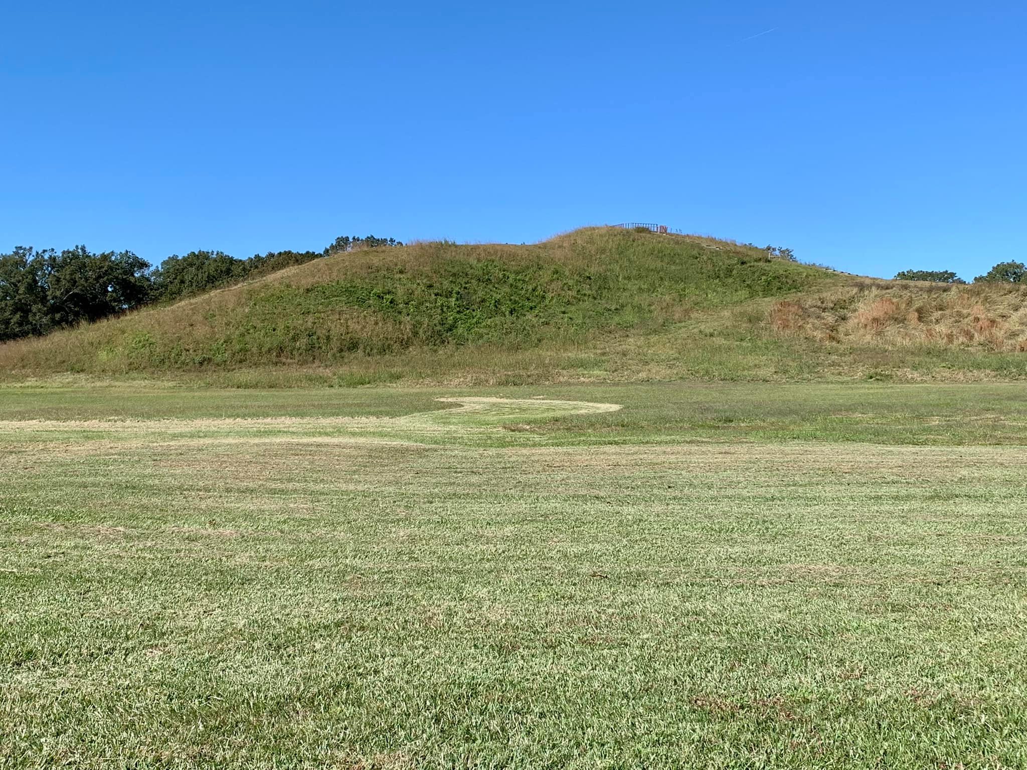
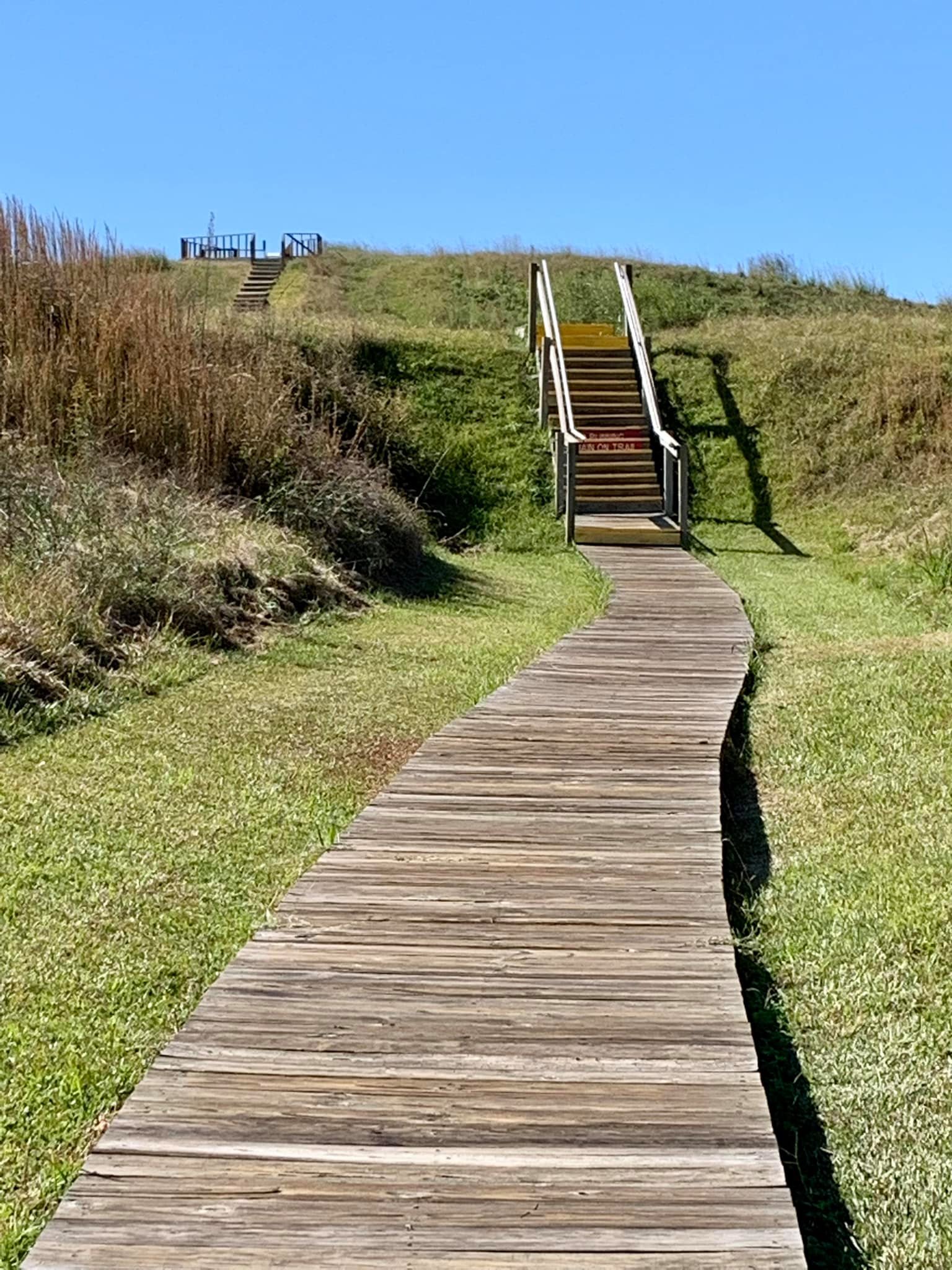
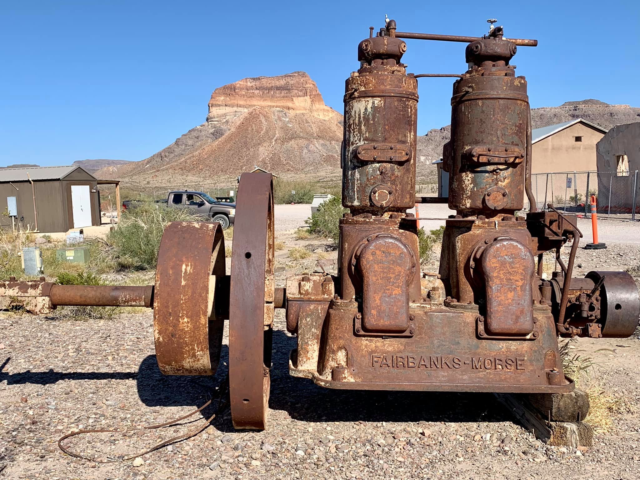
I saw the Fossil Discovery Exhibit, per my ranger’s instructions, and then walked around Castolon where I viewed the remains of a cotton growing establishment.
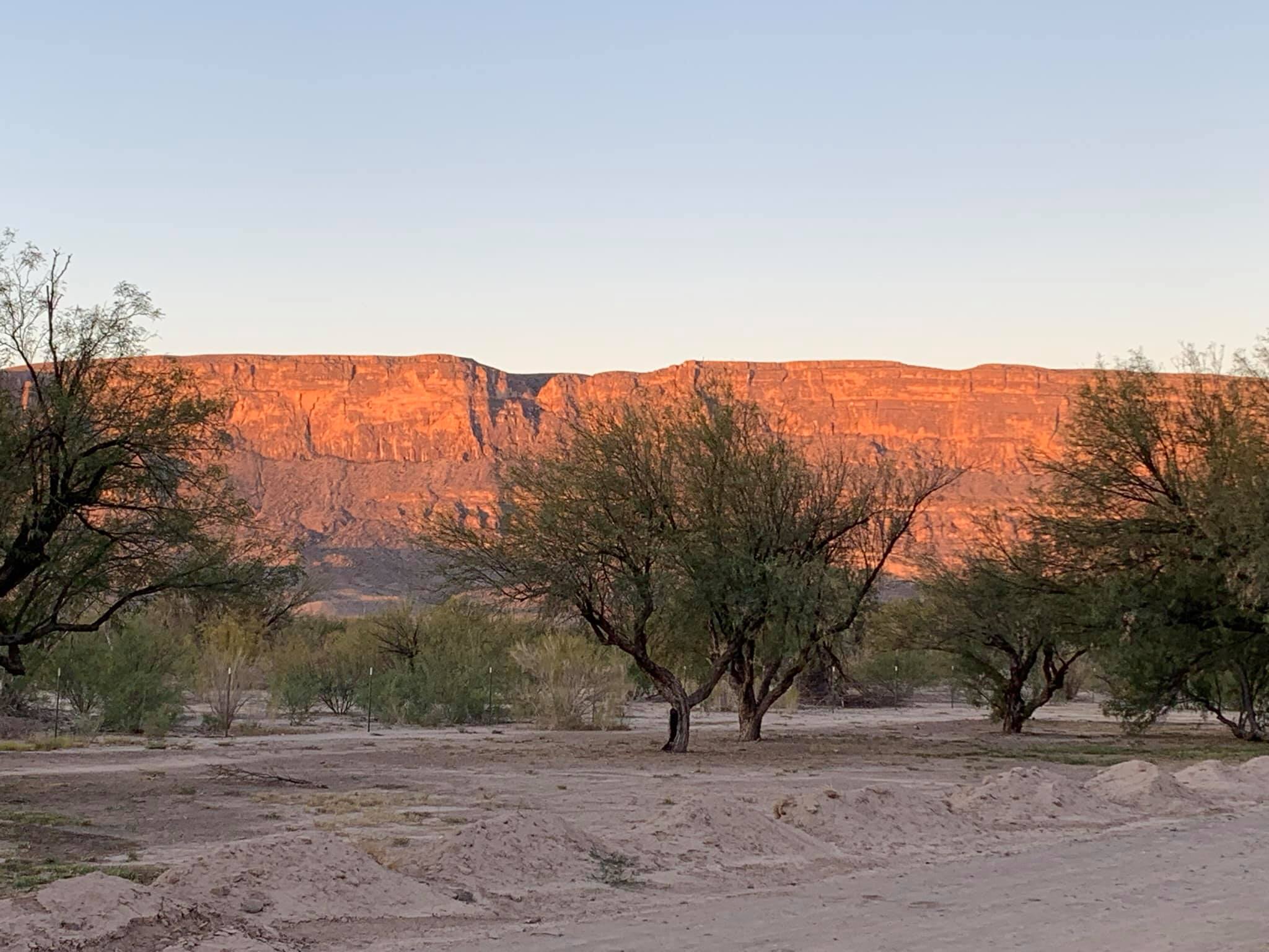
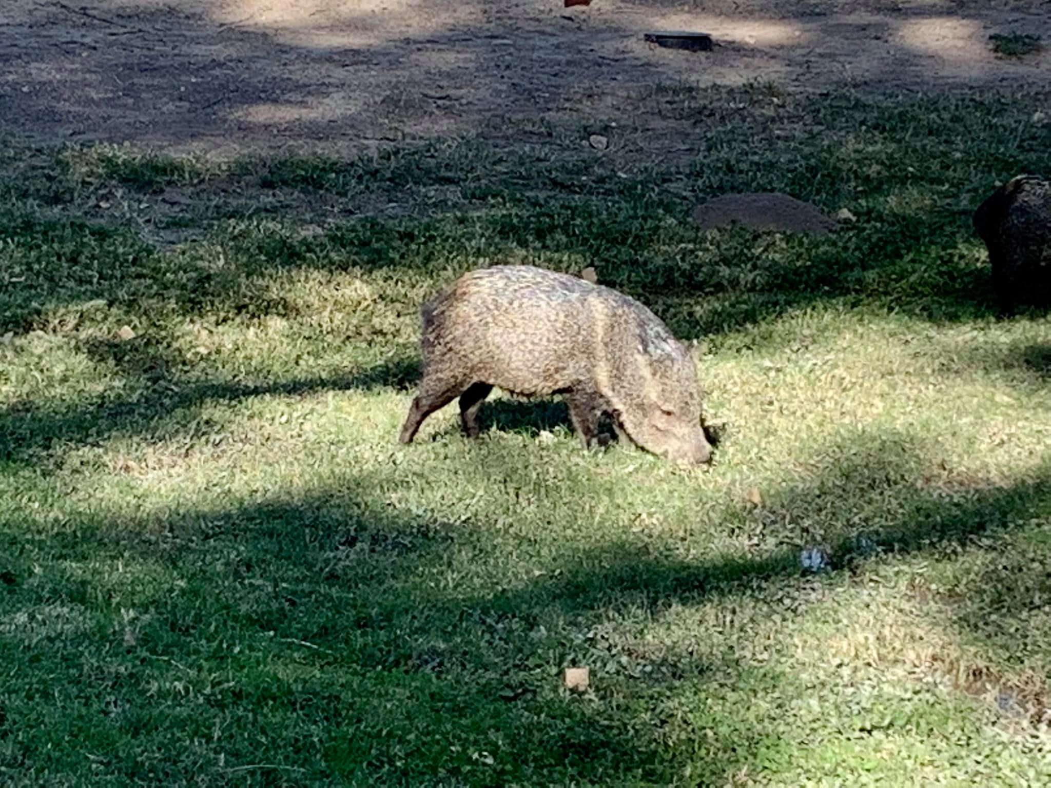
I then checked into my campground, Cottonwood, a beautiful camp with two of the warmest camp hosts ever! Not only did they welcome me, but they also showed me the group of javelinas roaming the campground. When I left, I mentioned I was heading to Santa Elena Canyon, and, upon my return, the sweet woman asked me how I enjoyed the canyon.
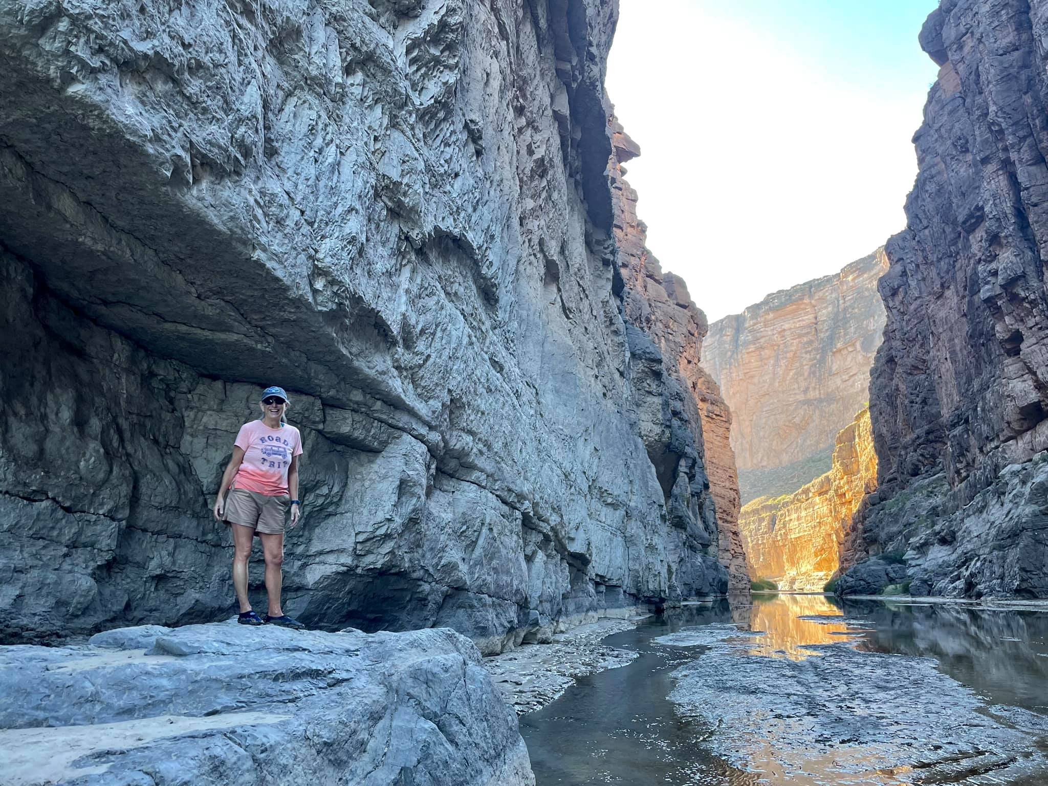
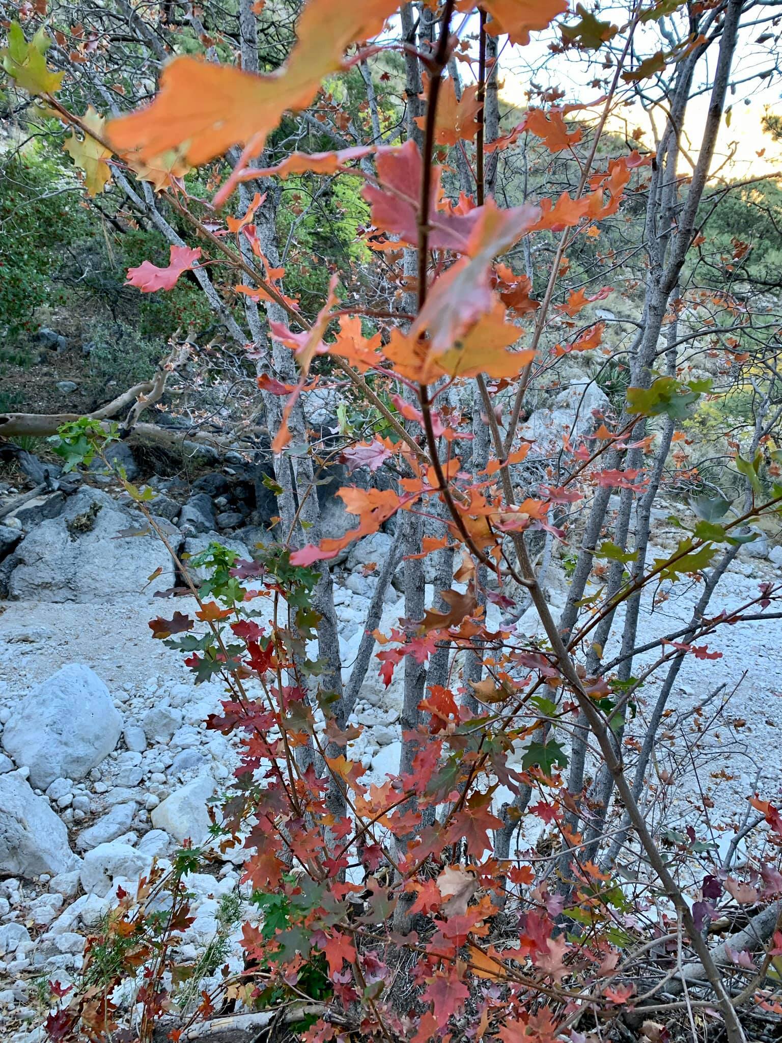
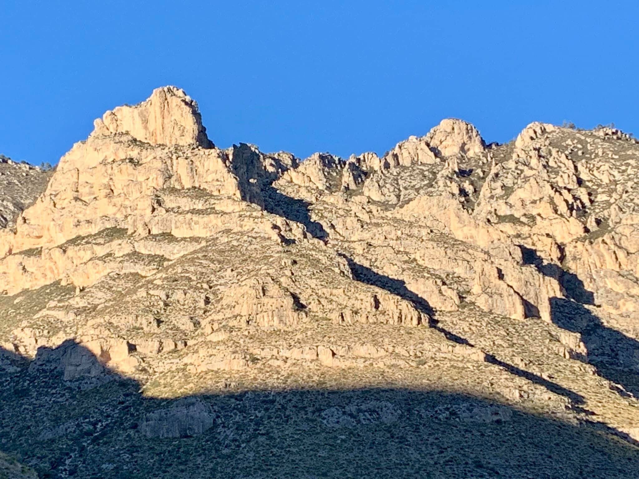
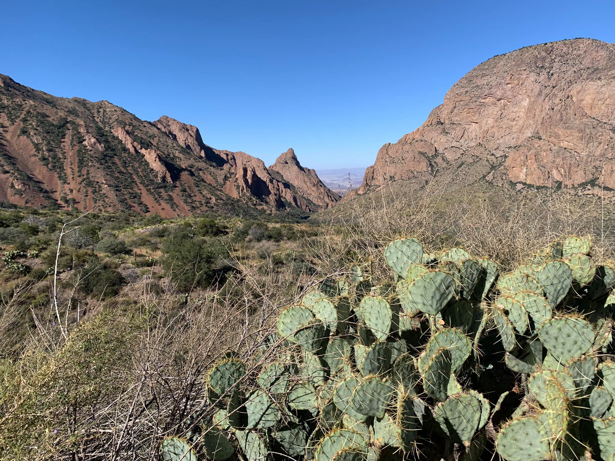
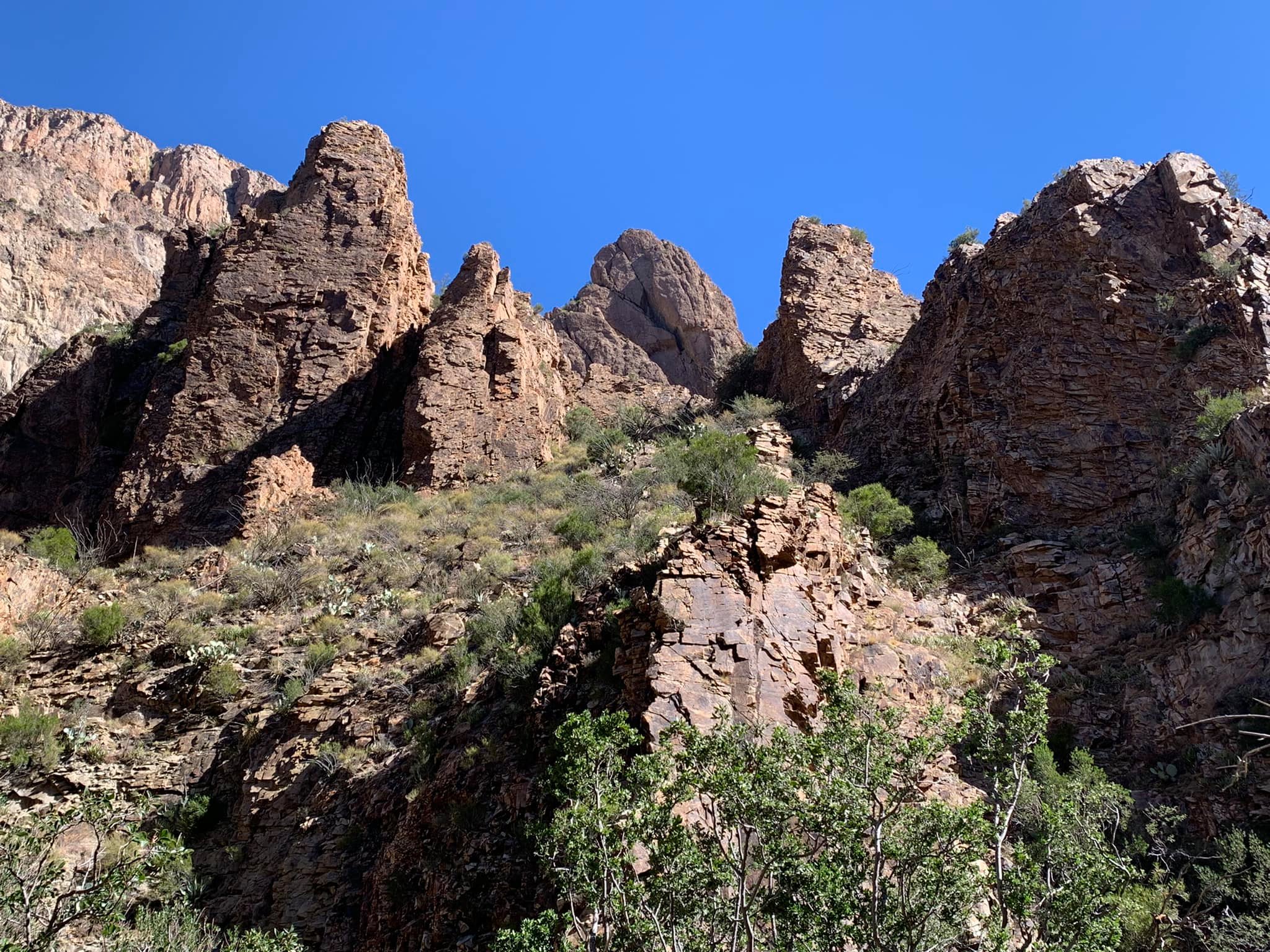
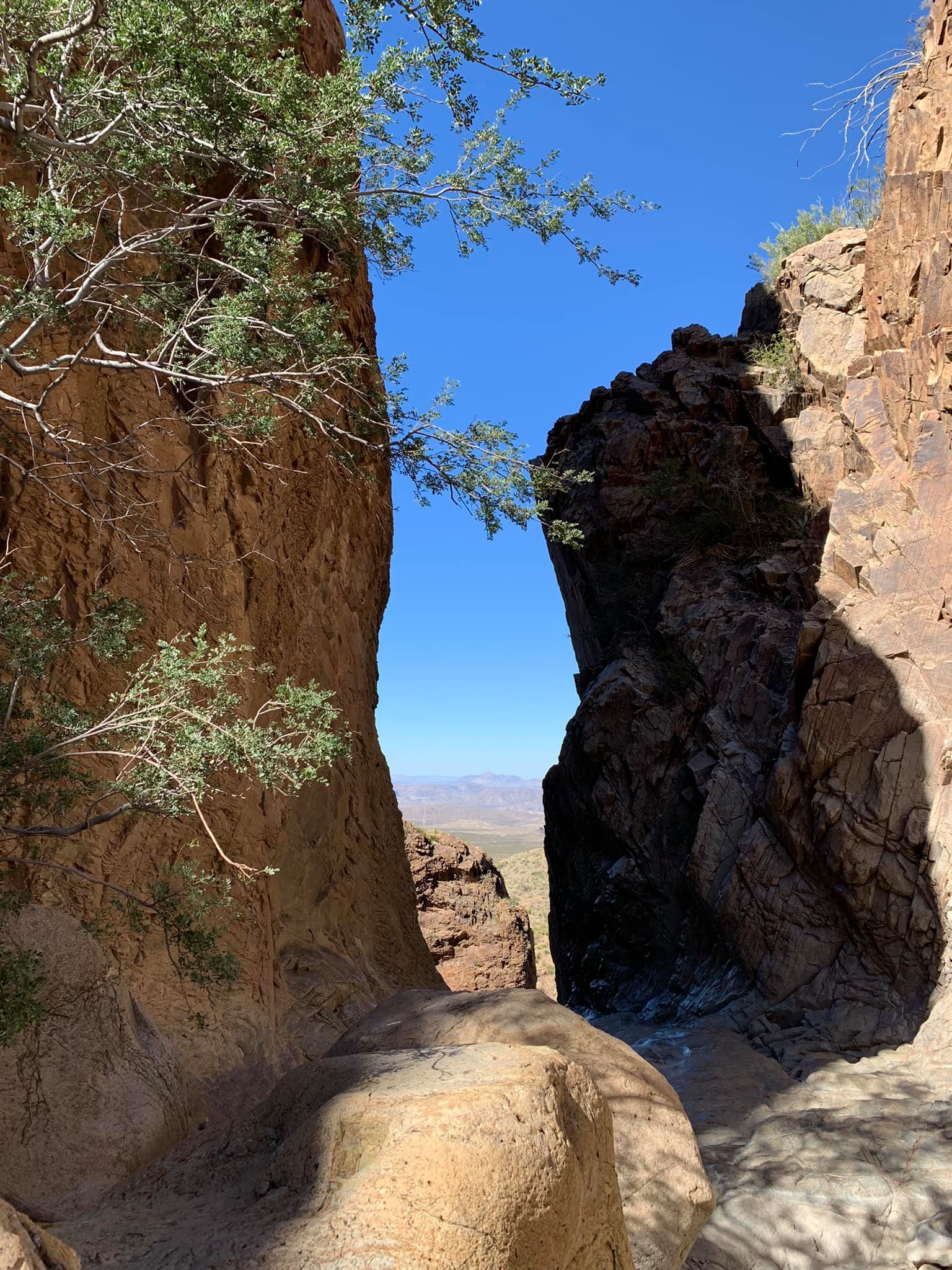
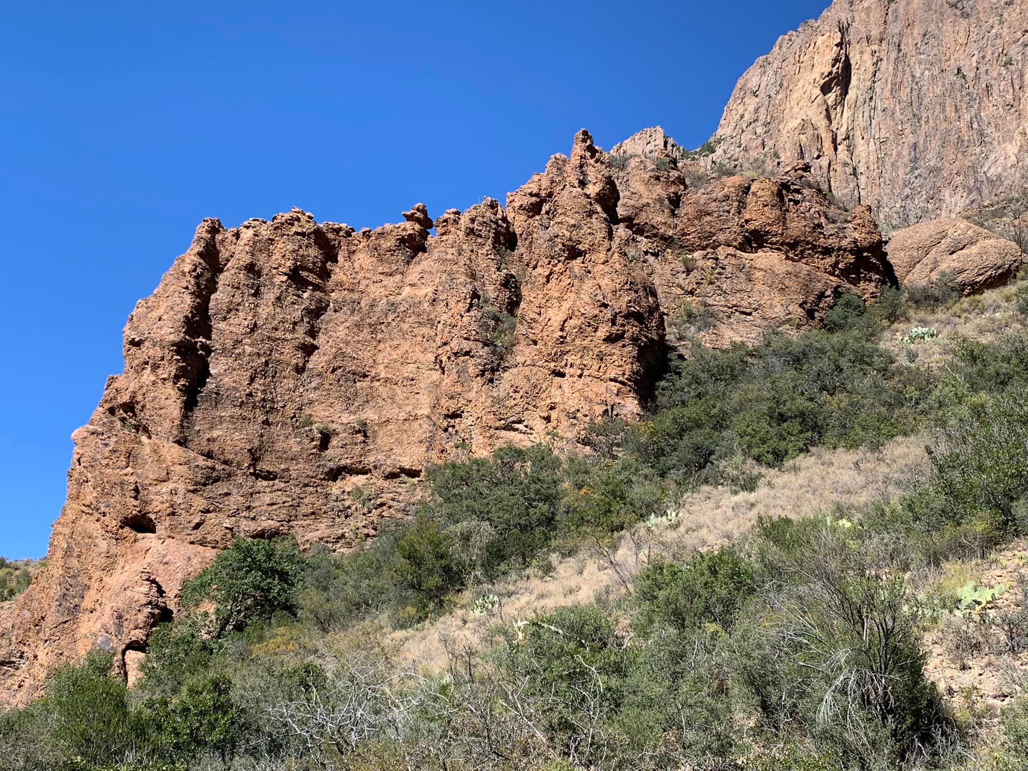
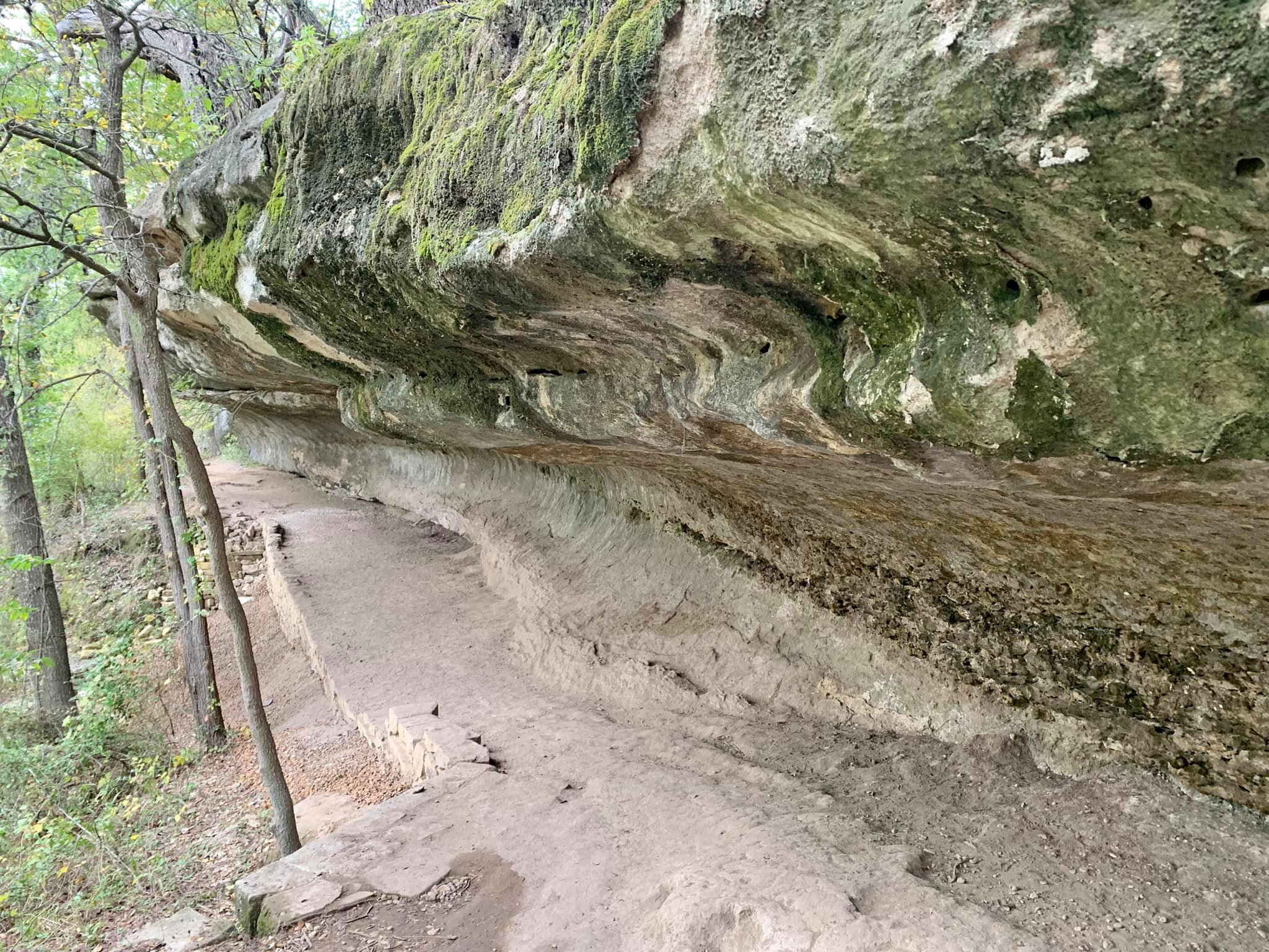
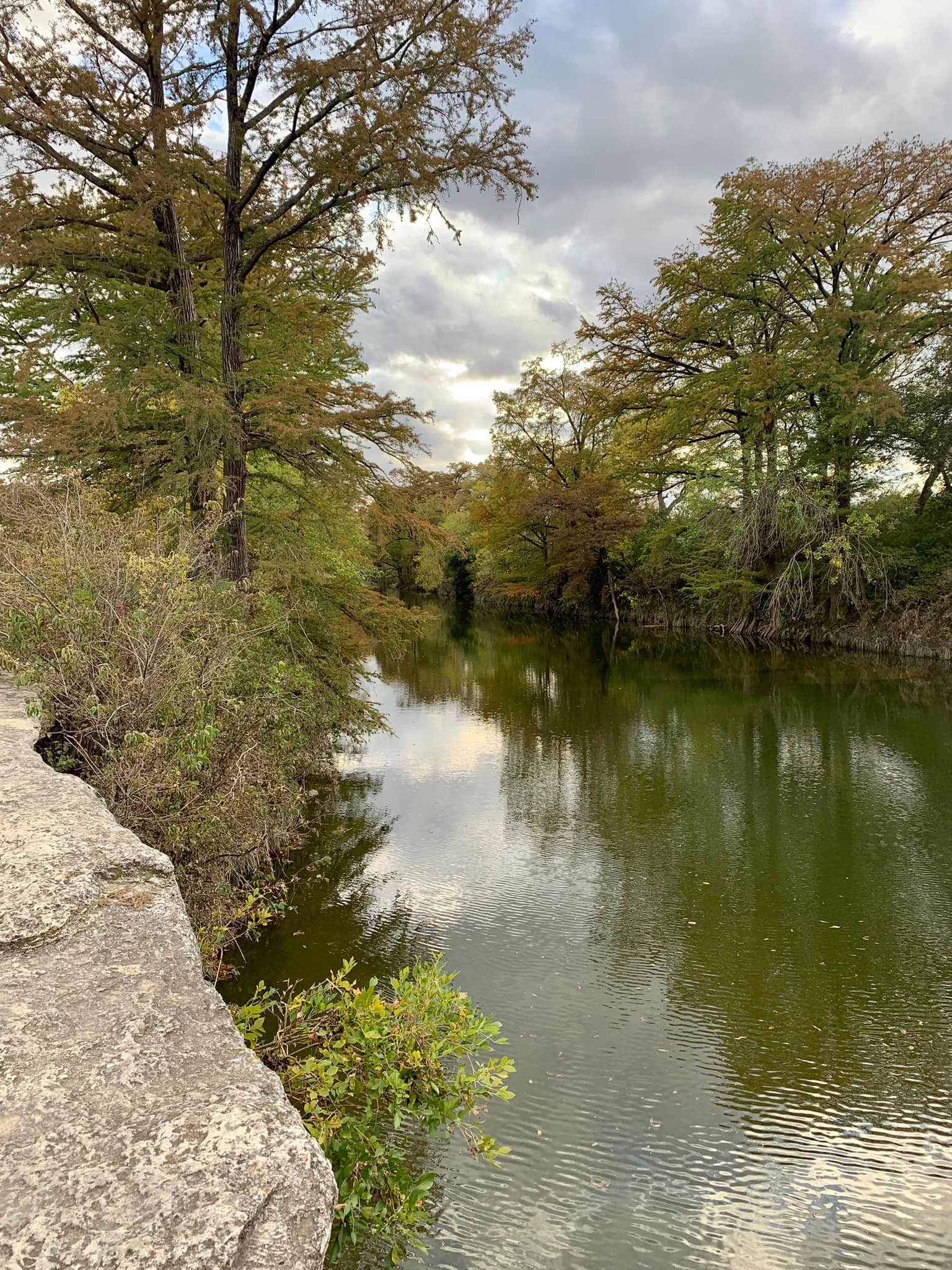
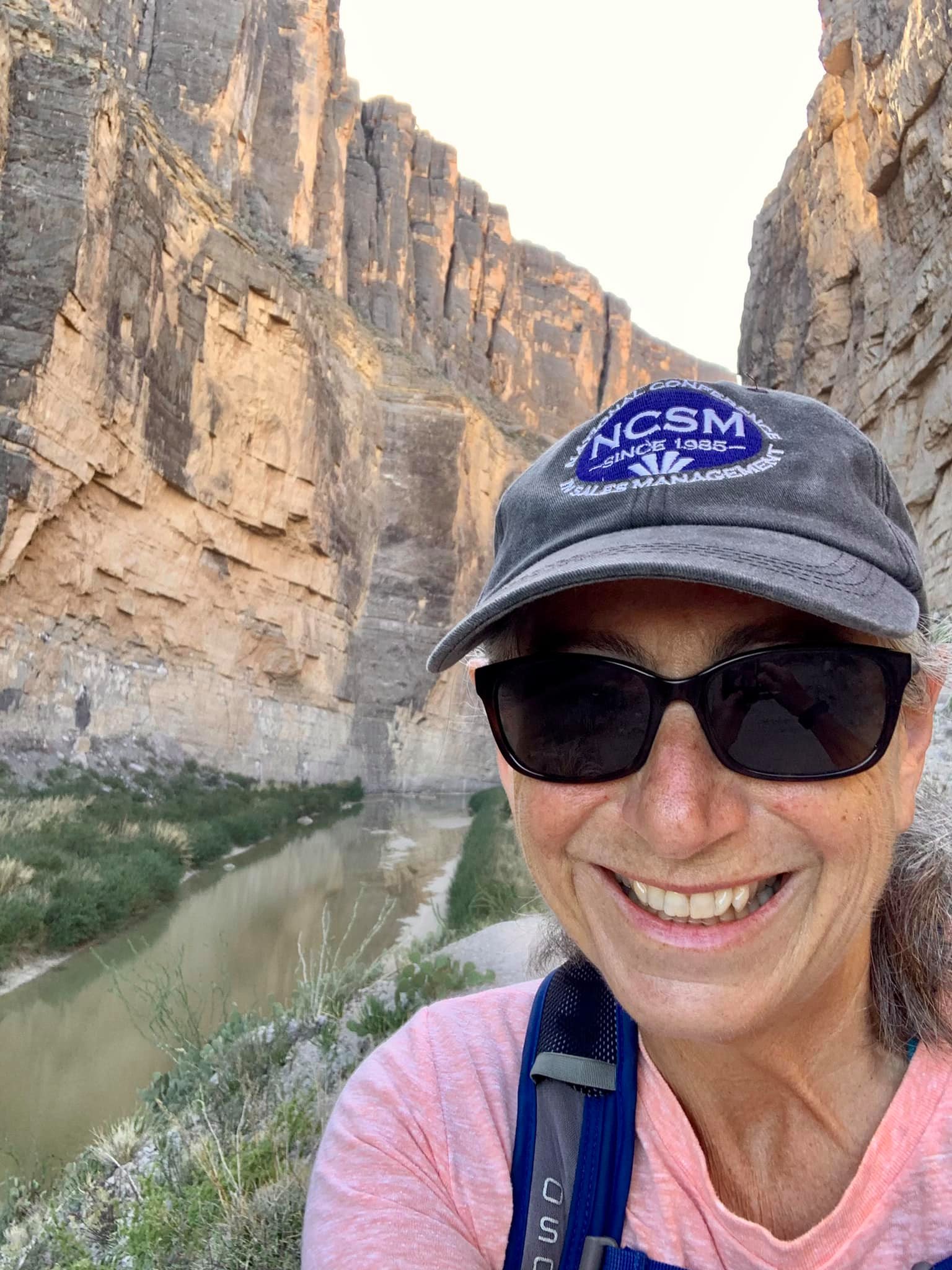
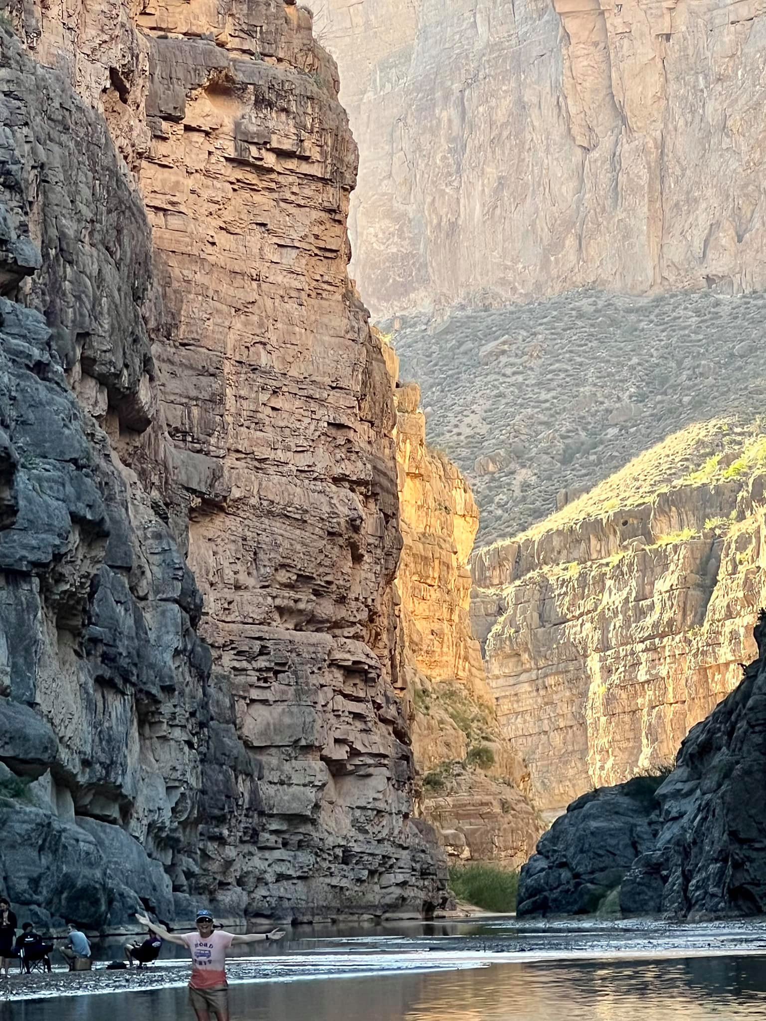
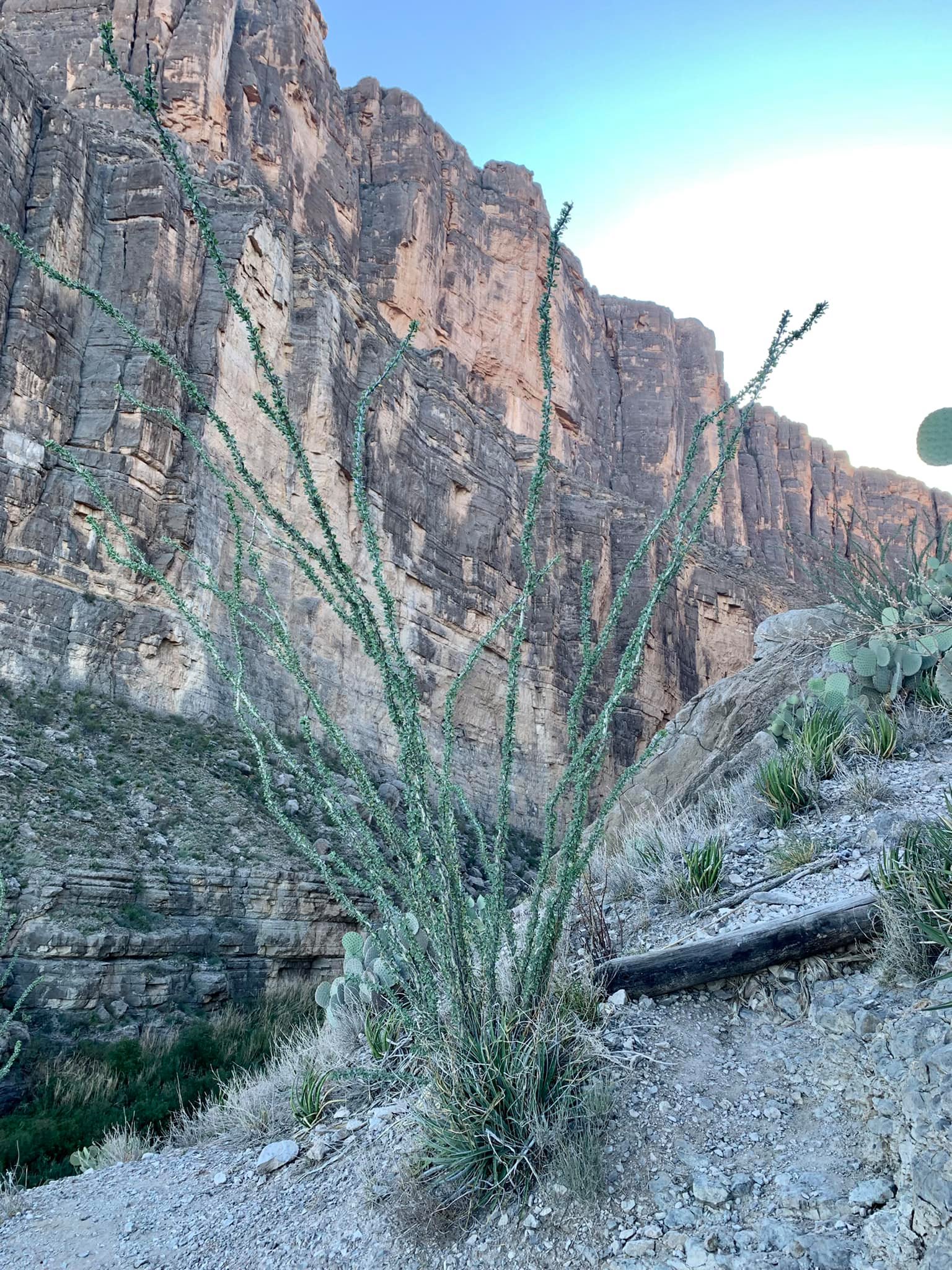
Santa Elena Canyon mesmerized me with its magnificent rock formations, desert flora, and Rio Grande calmly flowing between the canyon walls. The red rocks and desert scenery reminded me of my adventures in Joshua Tree, Death Valley, Nevada, Arizona, Utah…it was like “home.”
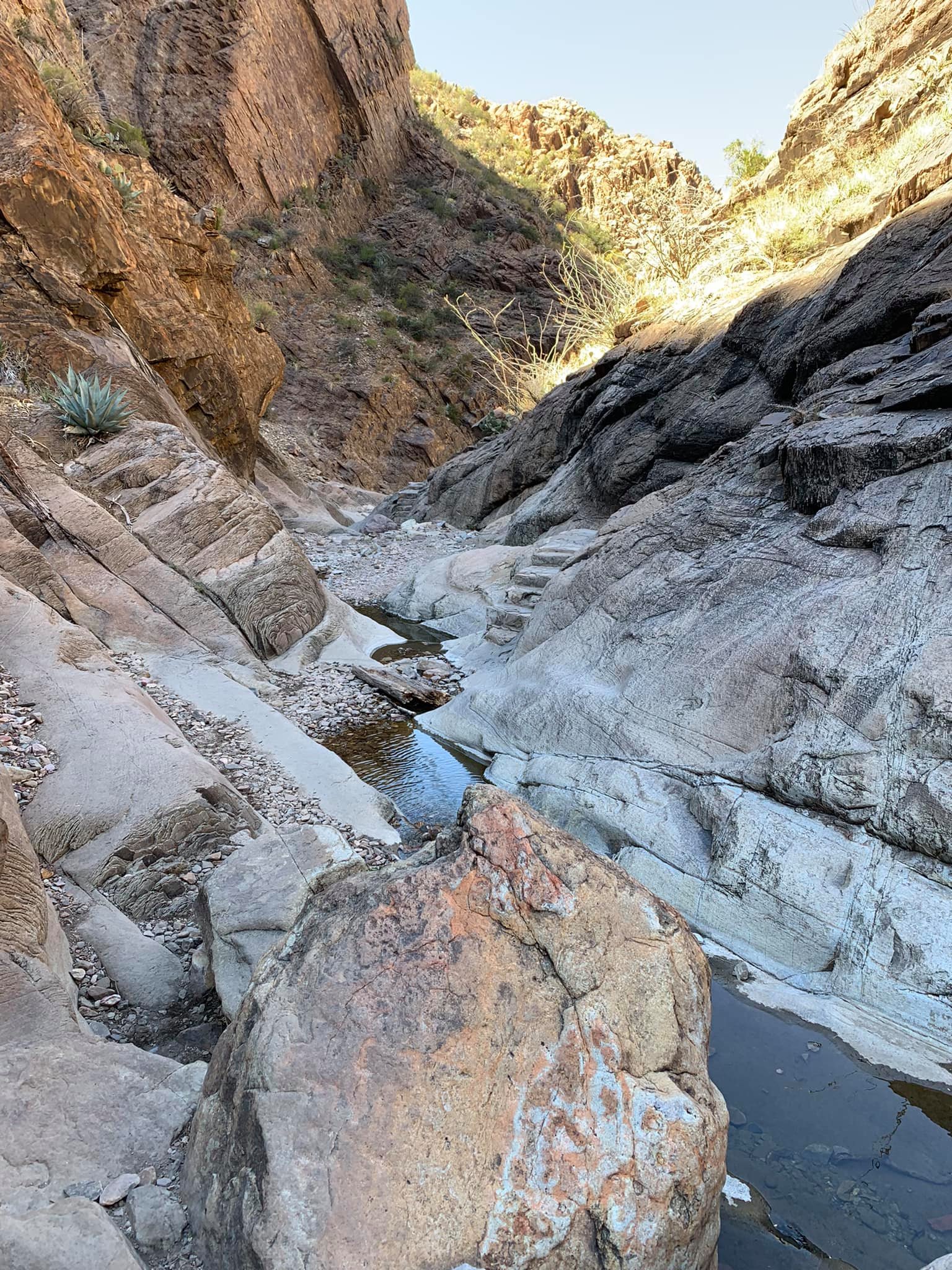
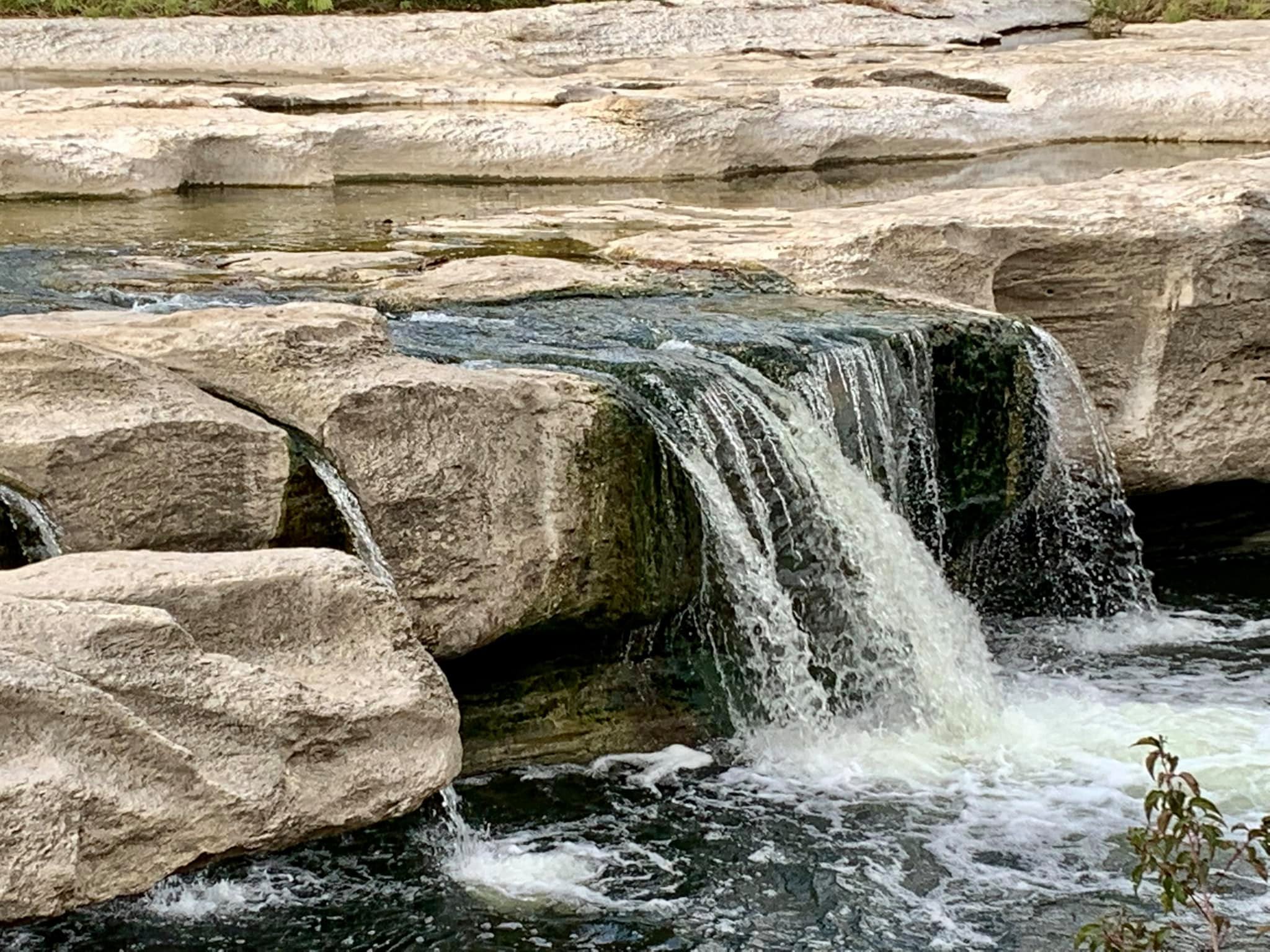
The canyon trail ends at the Rio Grande. If one crosses the river, one is technically in Mexico. So, duh!, I switched to my water shoes, asked one of the young women watching friends (and choosing not to cross) to take my photo, and ventured into the water. It felt a bit like The Narrows at Zion! I walked along the wall, holding onto it out of an abundance of caution. A young man, sitting on the sand spit with a few of his friends, saw me and how the water was over my waist. He suggested I cross to the middle where the water wasn’t as deep. Great advice! I walked to the spit and then touched Mexico! He took my picture – will text it to me in the next day or so when he has cell service.
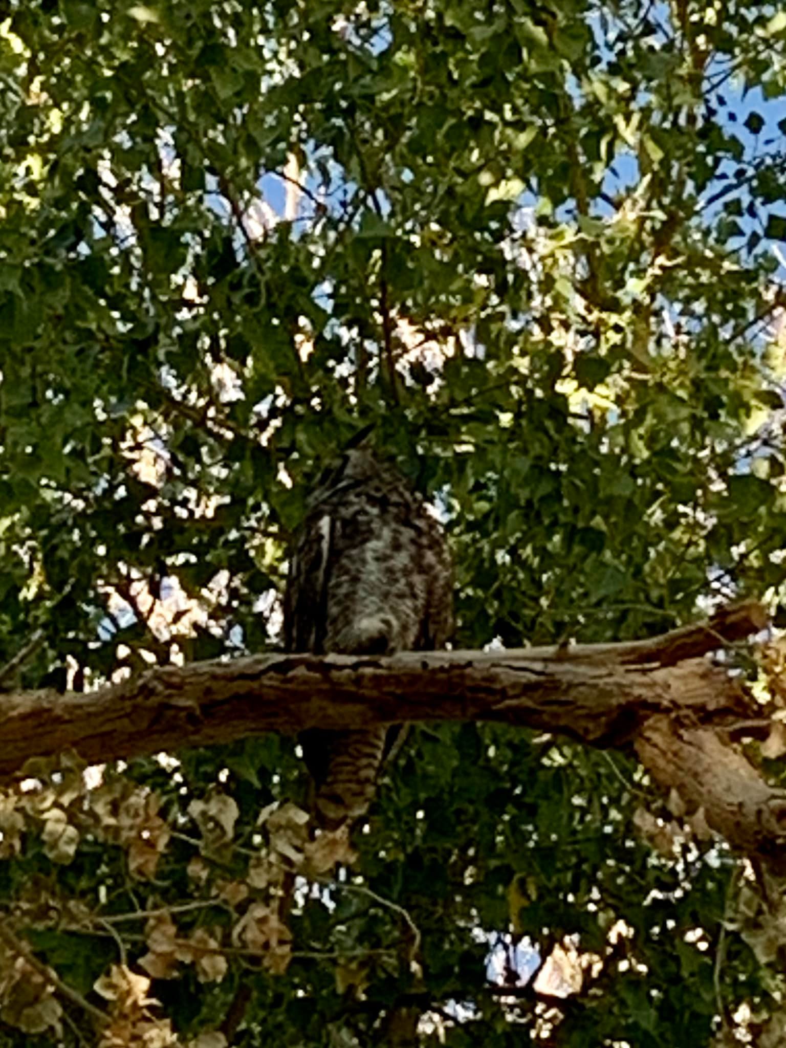
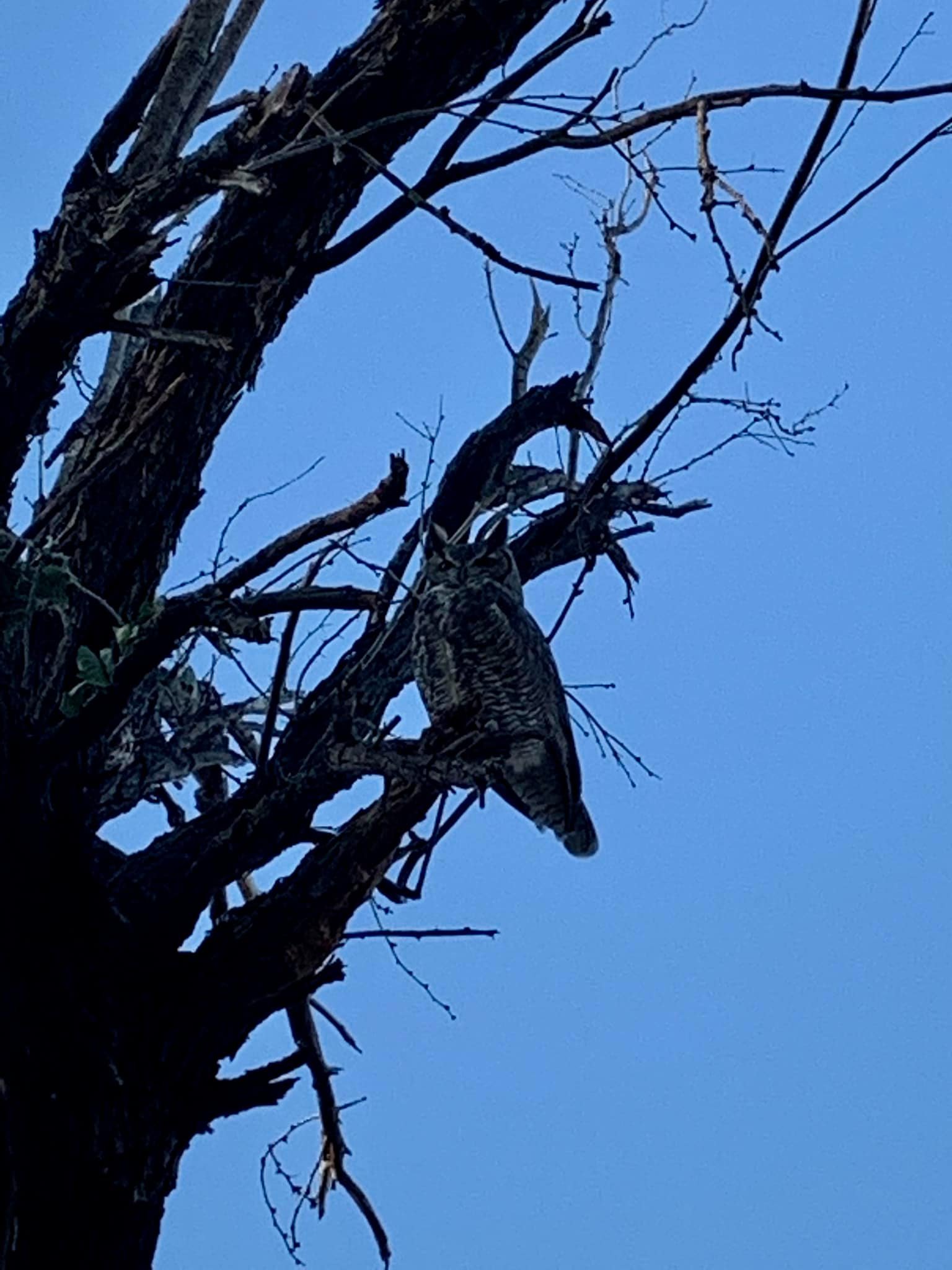
I returned to camp, and the camp hosts showed me, along with other campers, where two horned owls where hanging out.
In summary, due to the kindness of strangers and, I admit, my willingness to push myself a bit past my comfort zone, I had a phenomenal day!
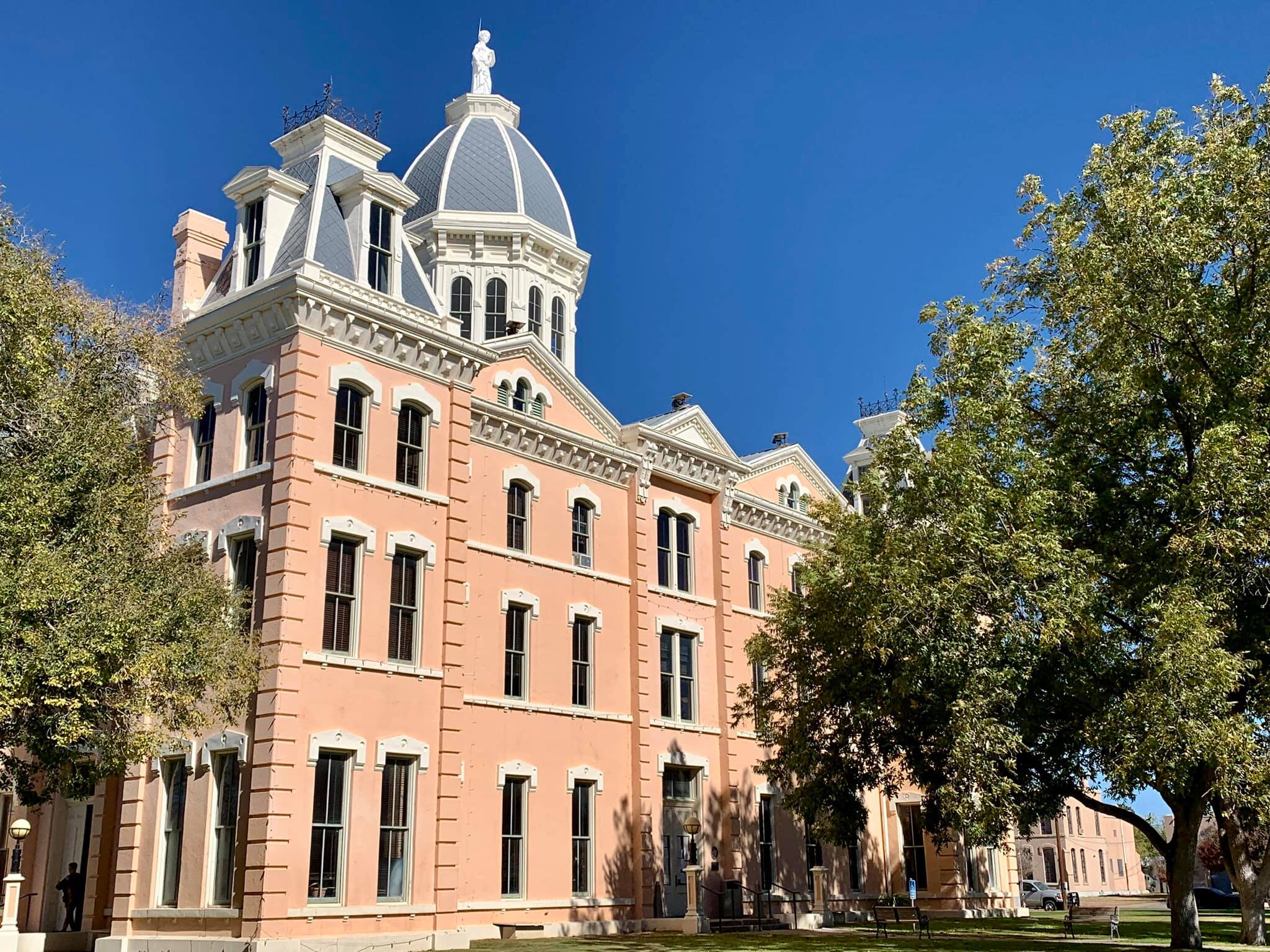
Castolon
Javelina
Santa Elena Canyon
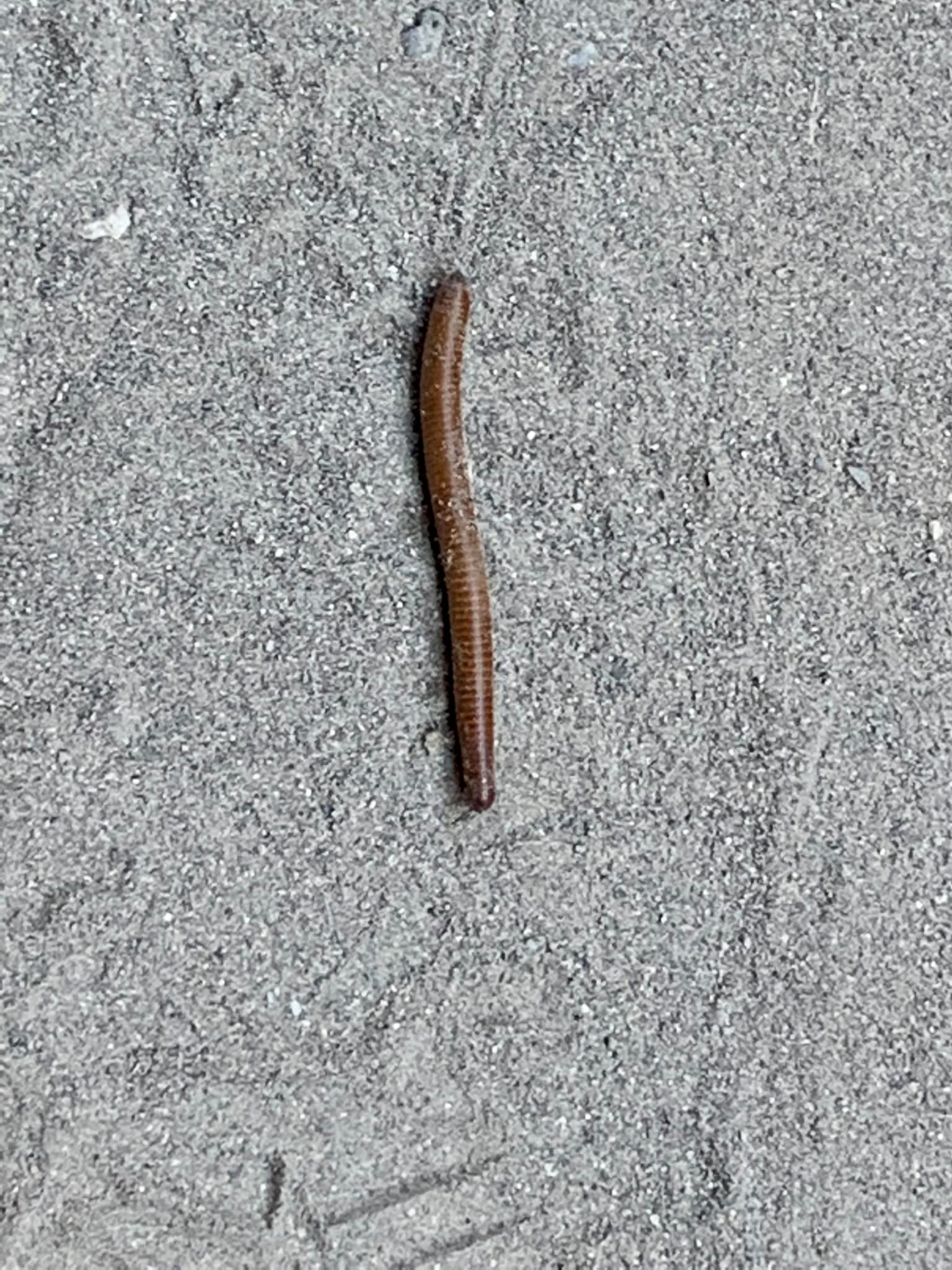
Millipede
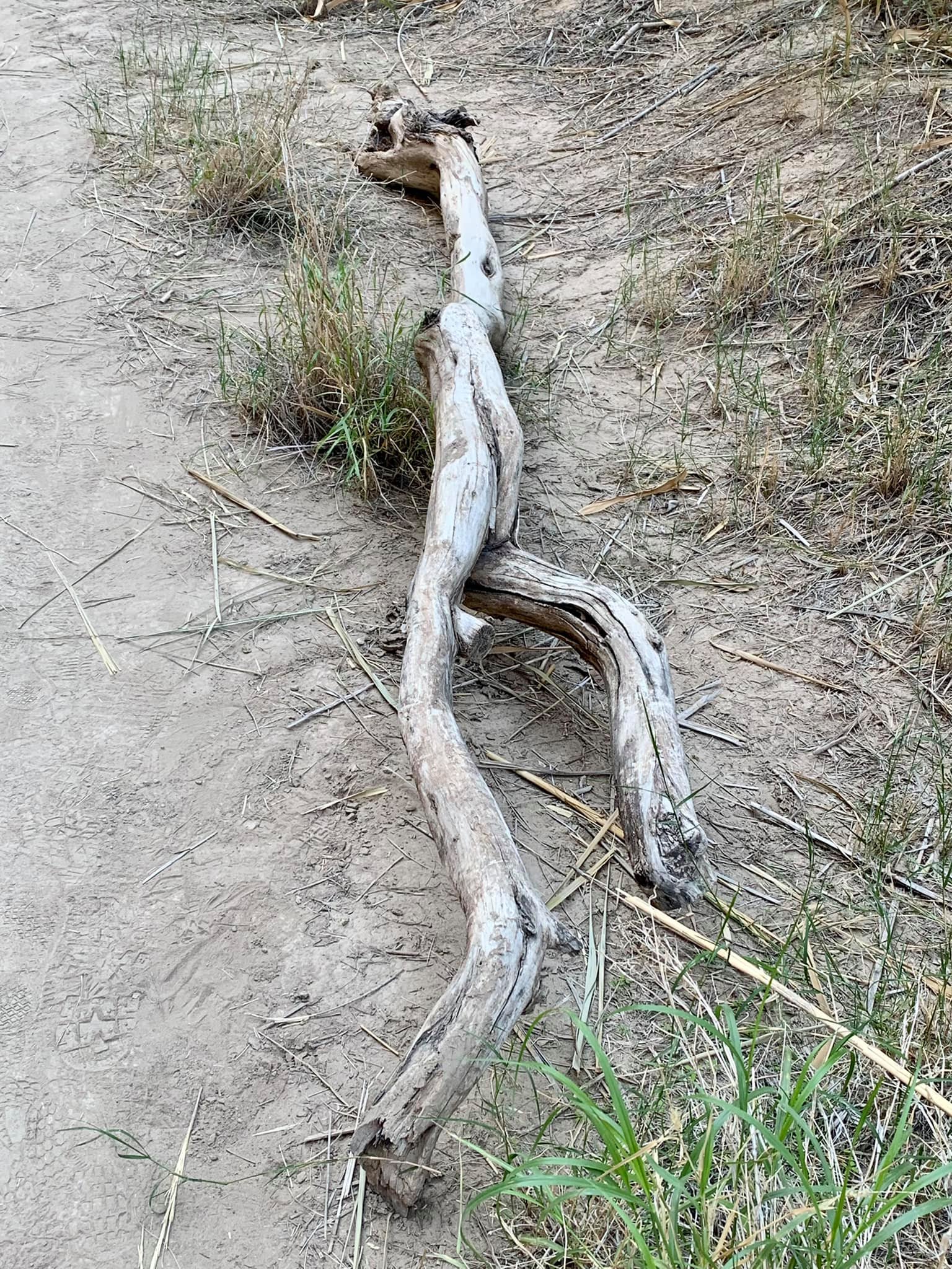
Driftwood in the canyon
Returning from Mexico!
Rio Grande in Santa Elena Canyon
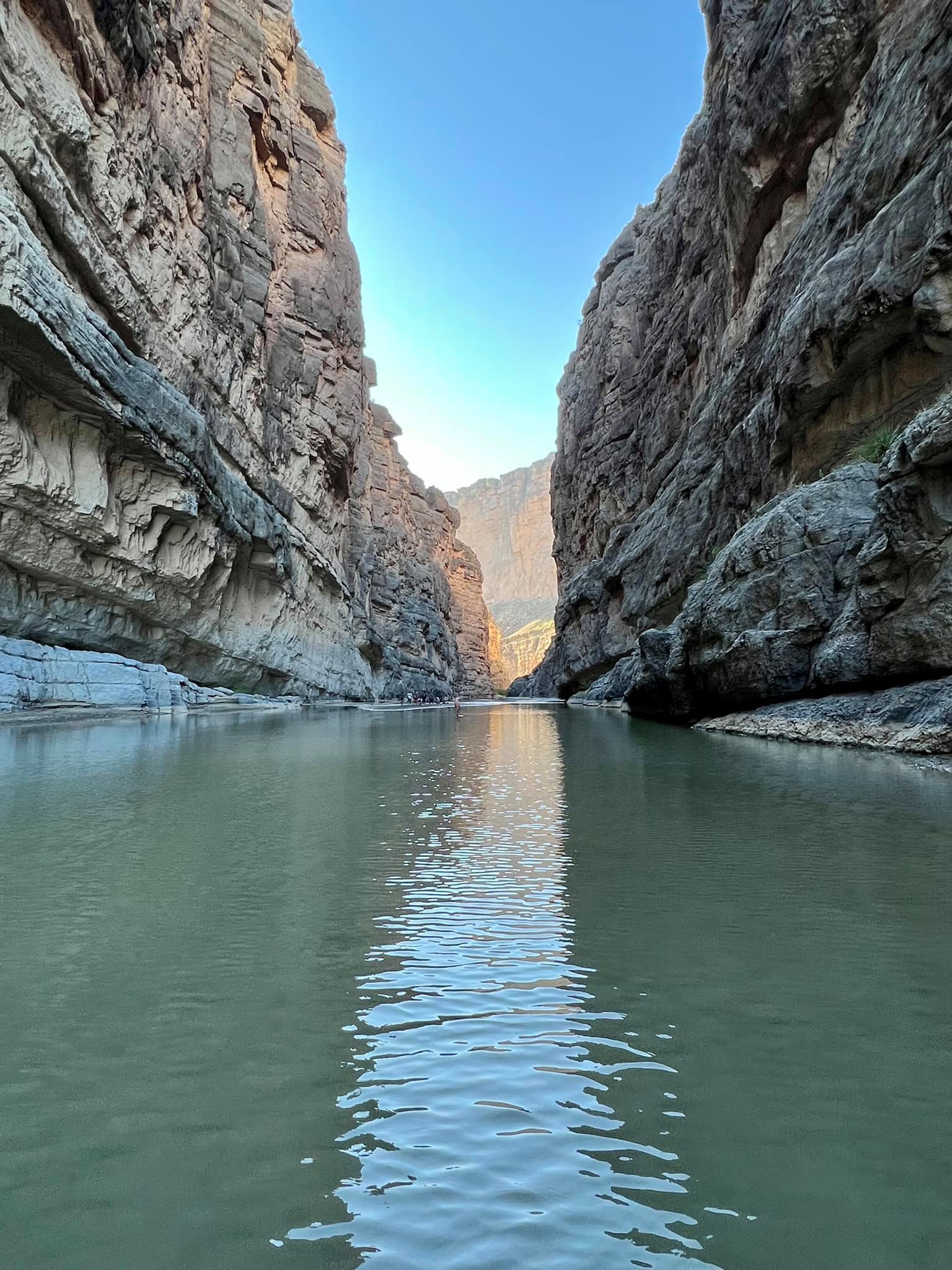
Canyon
Owl #1, the larger owl
Owl #2, the smaller owl
Added the photo texted by one of the young men on the spit. I’m in Mexico in this pic! 🙂