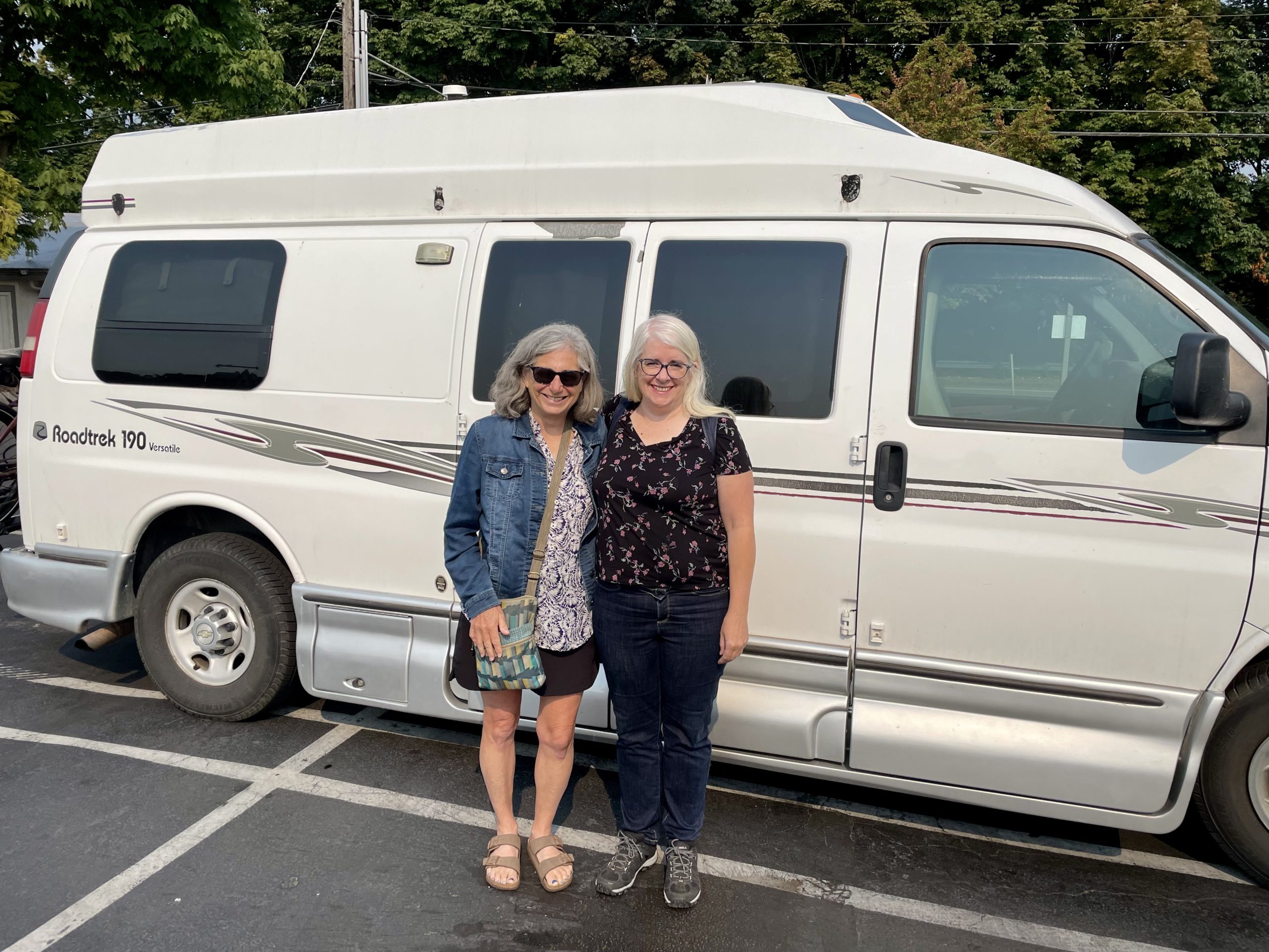
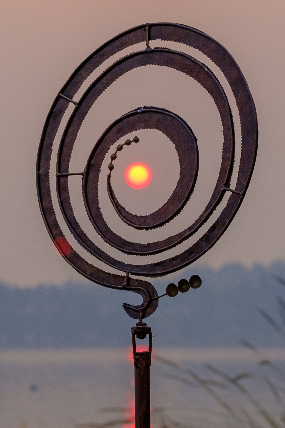
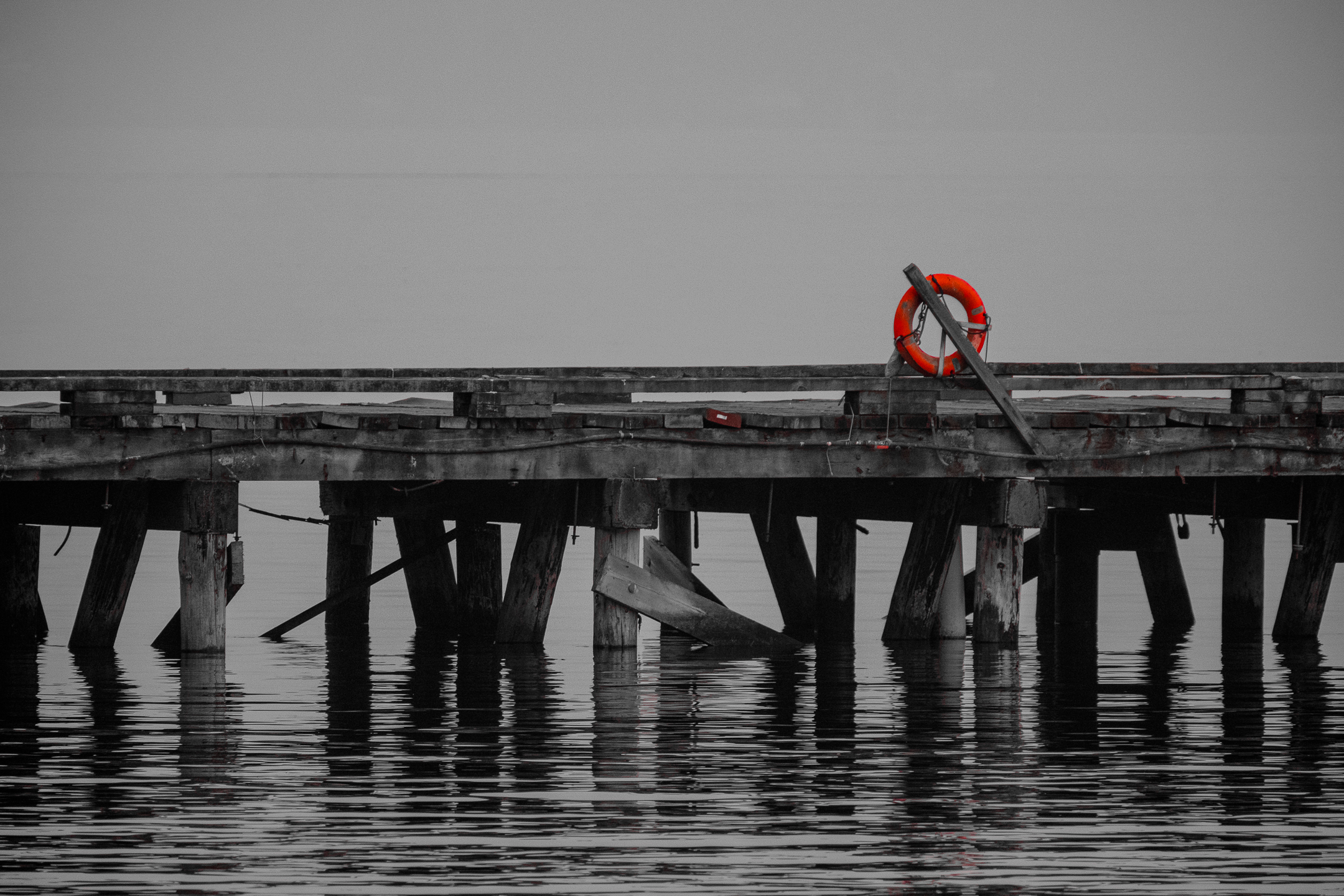
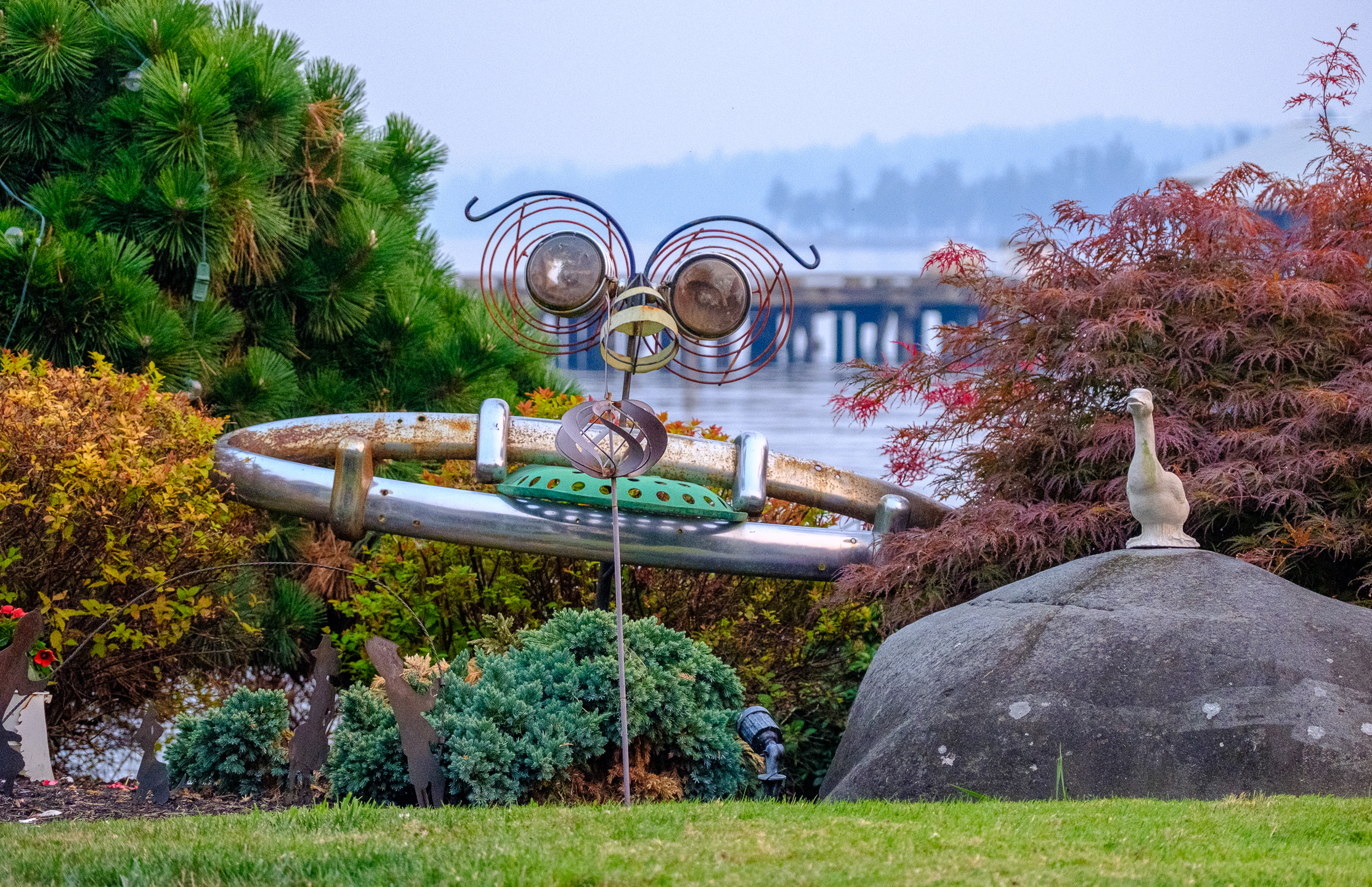
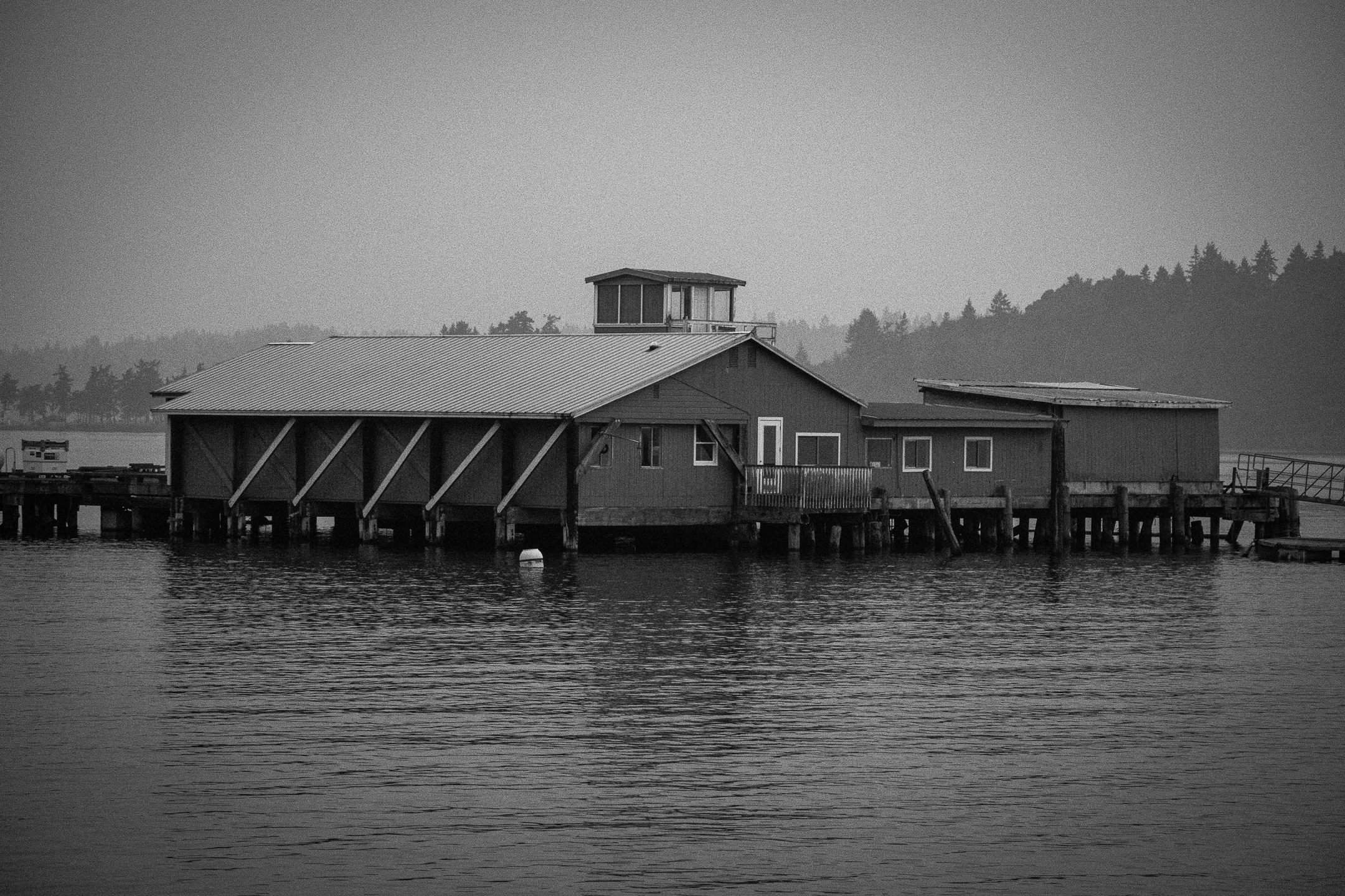
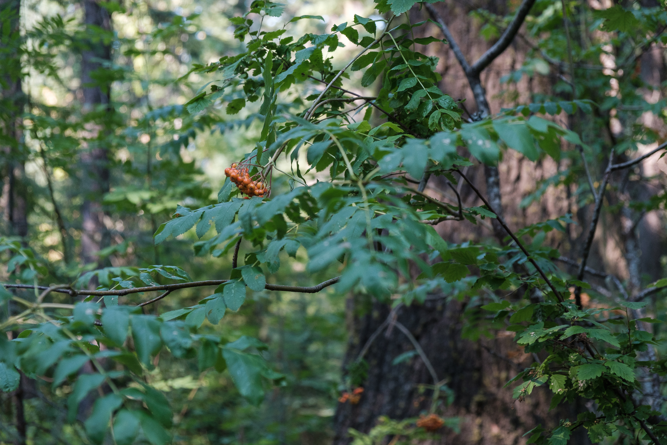
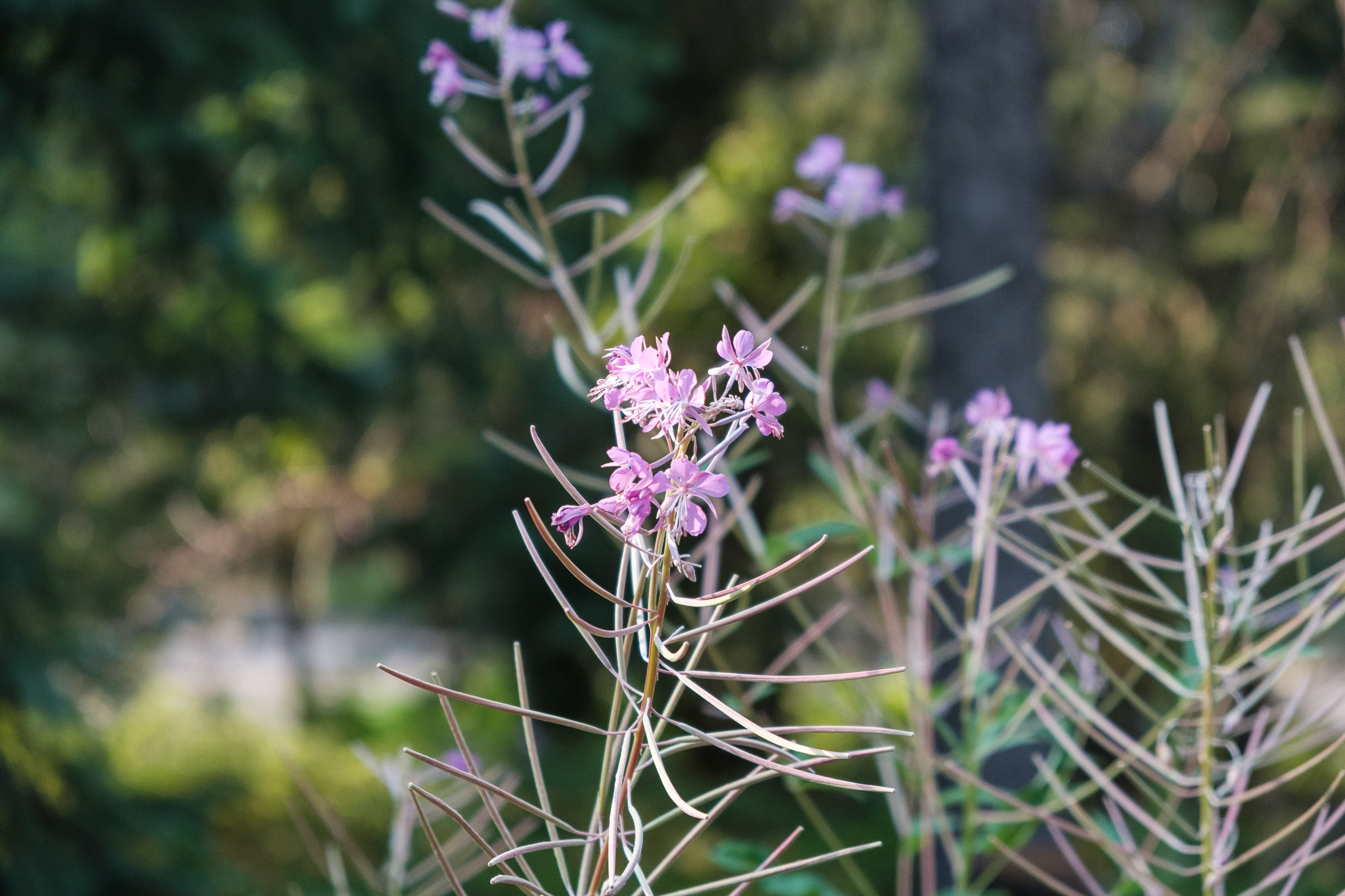
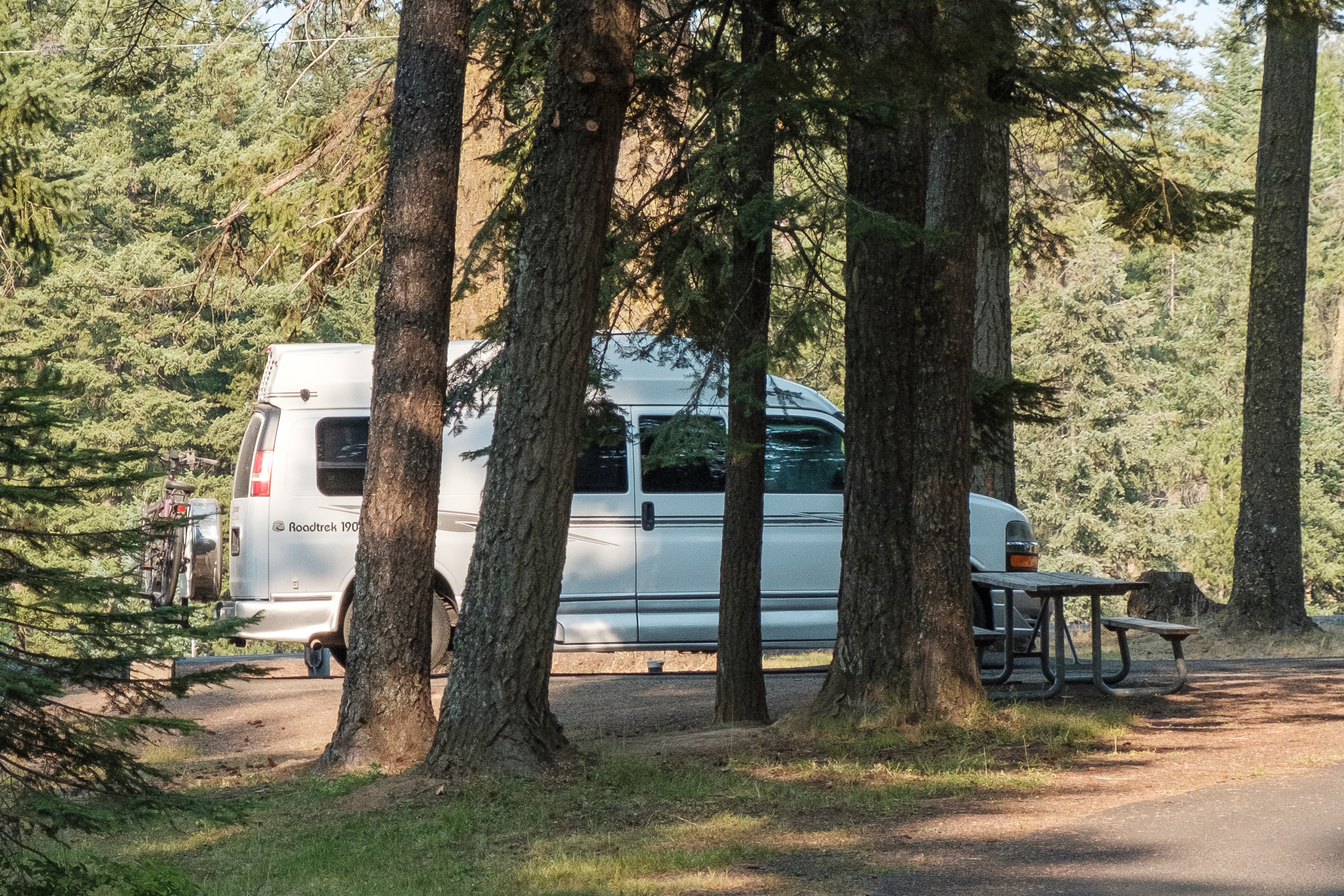
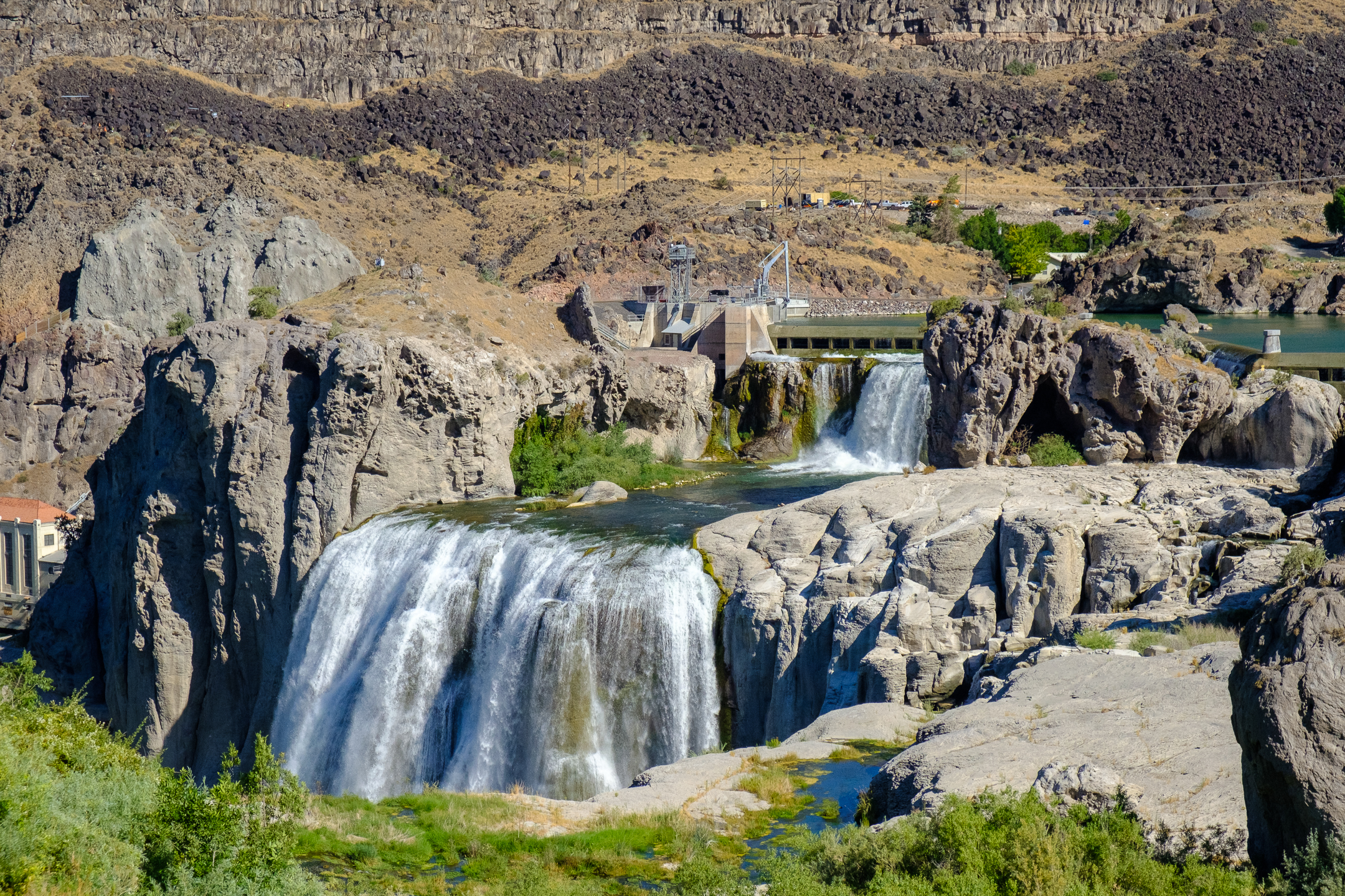
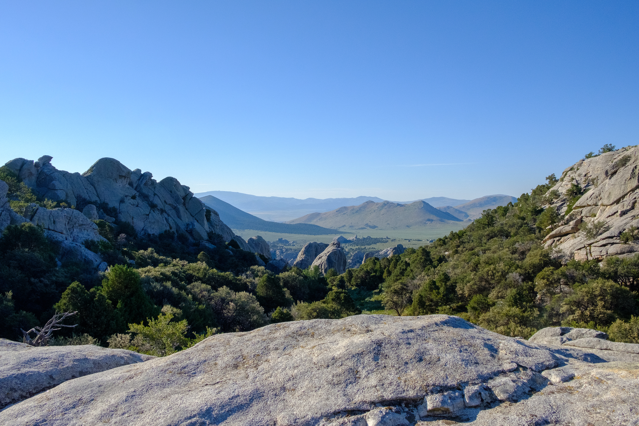
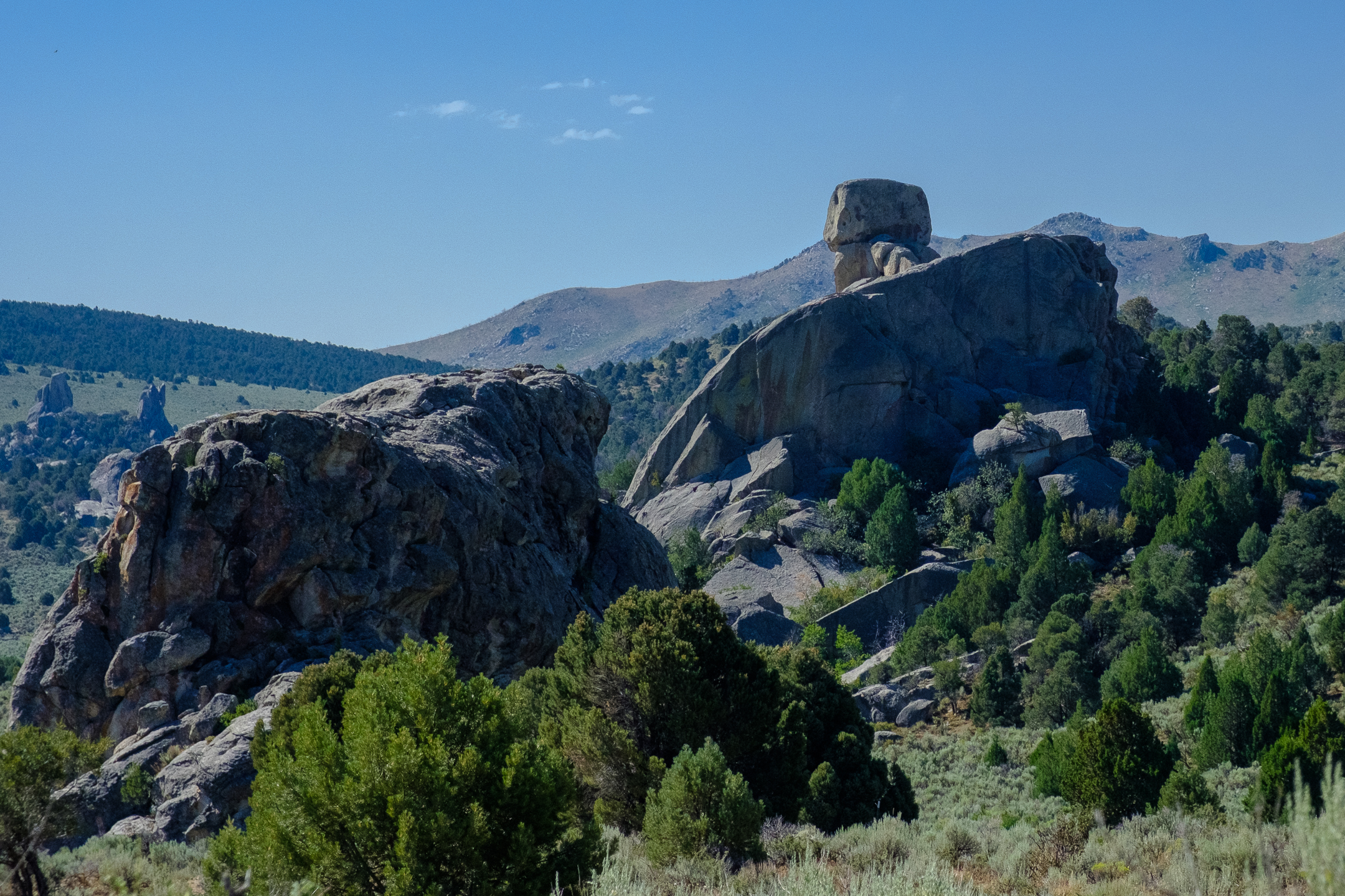
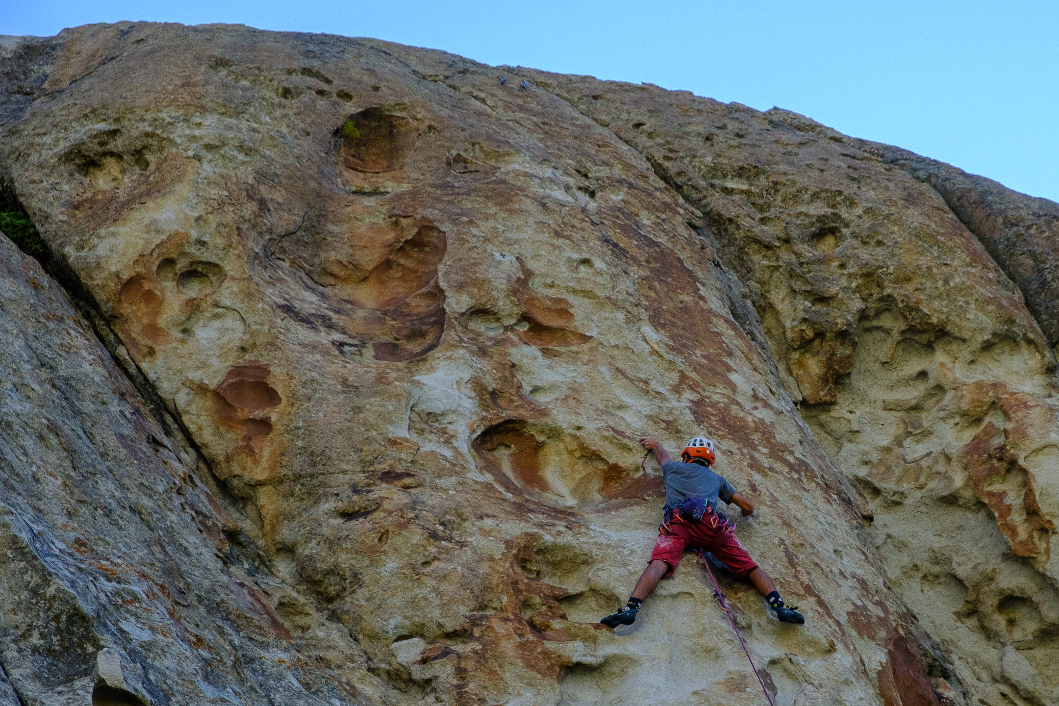
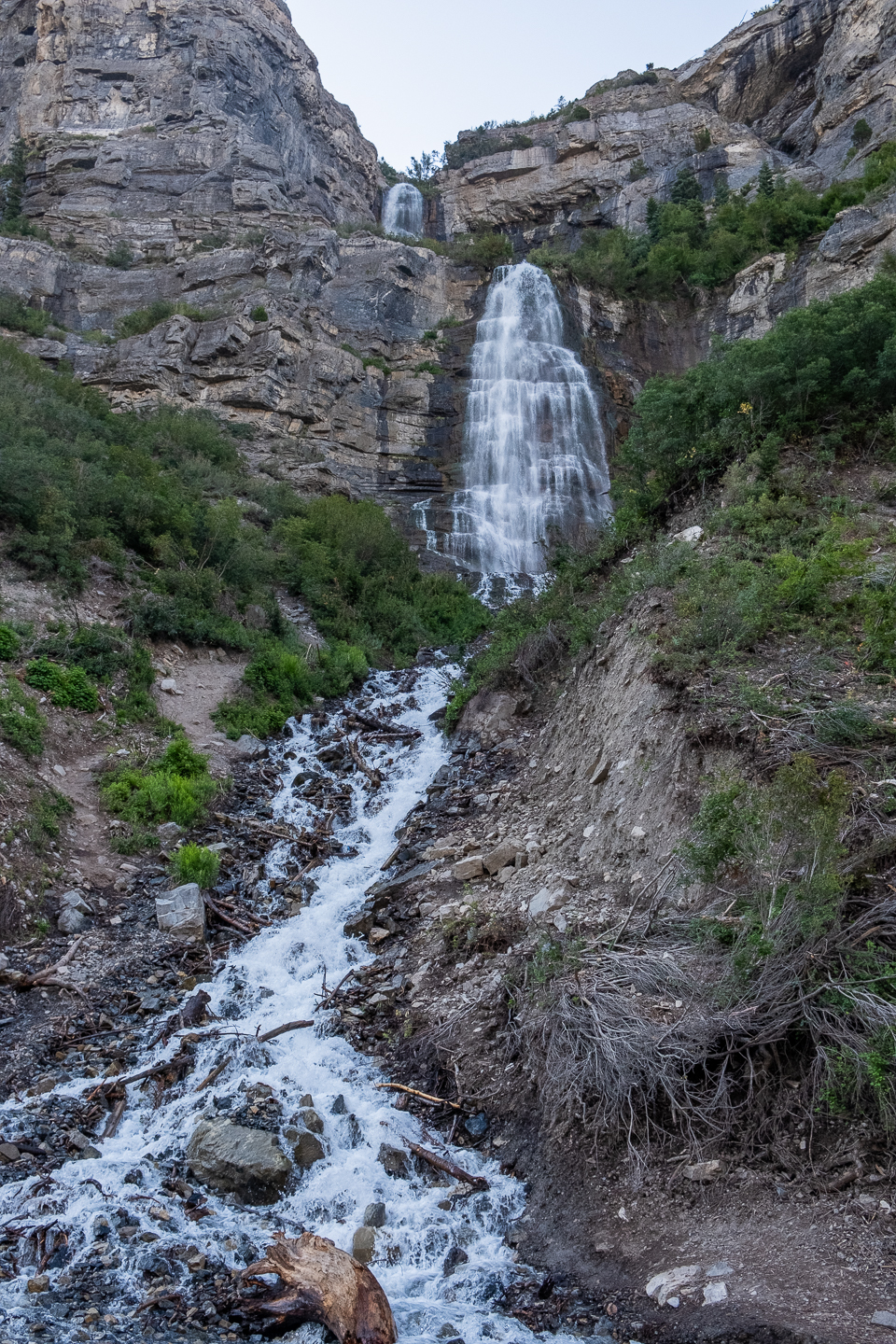
I totally nerded out today!
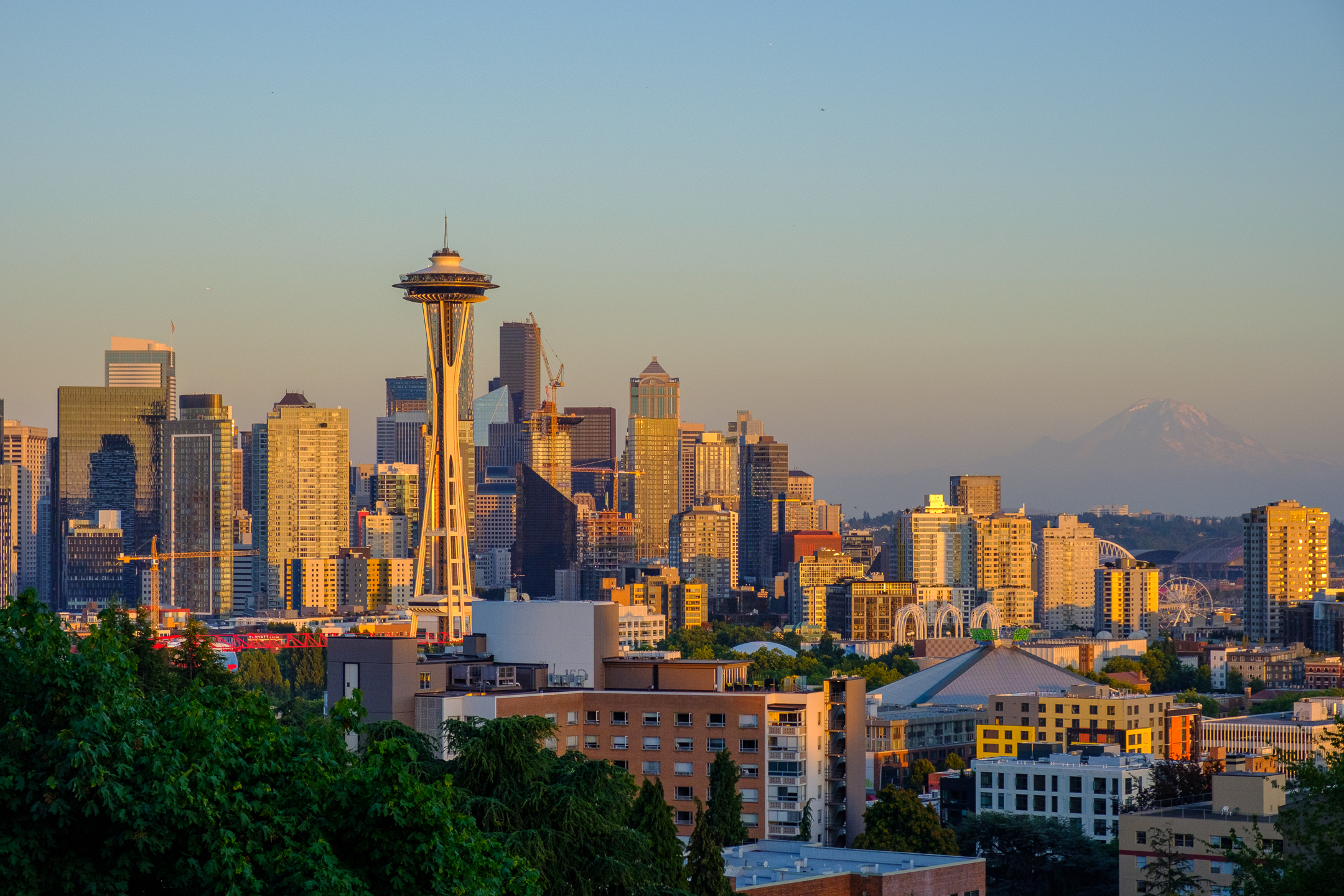
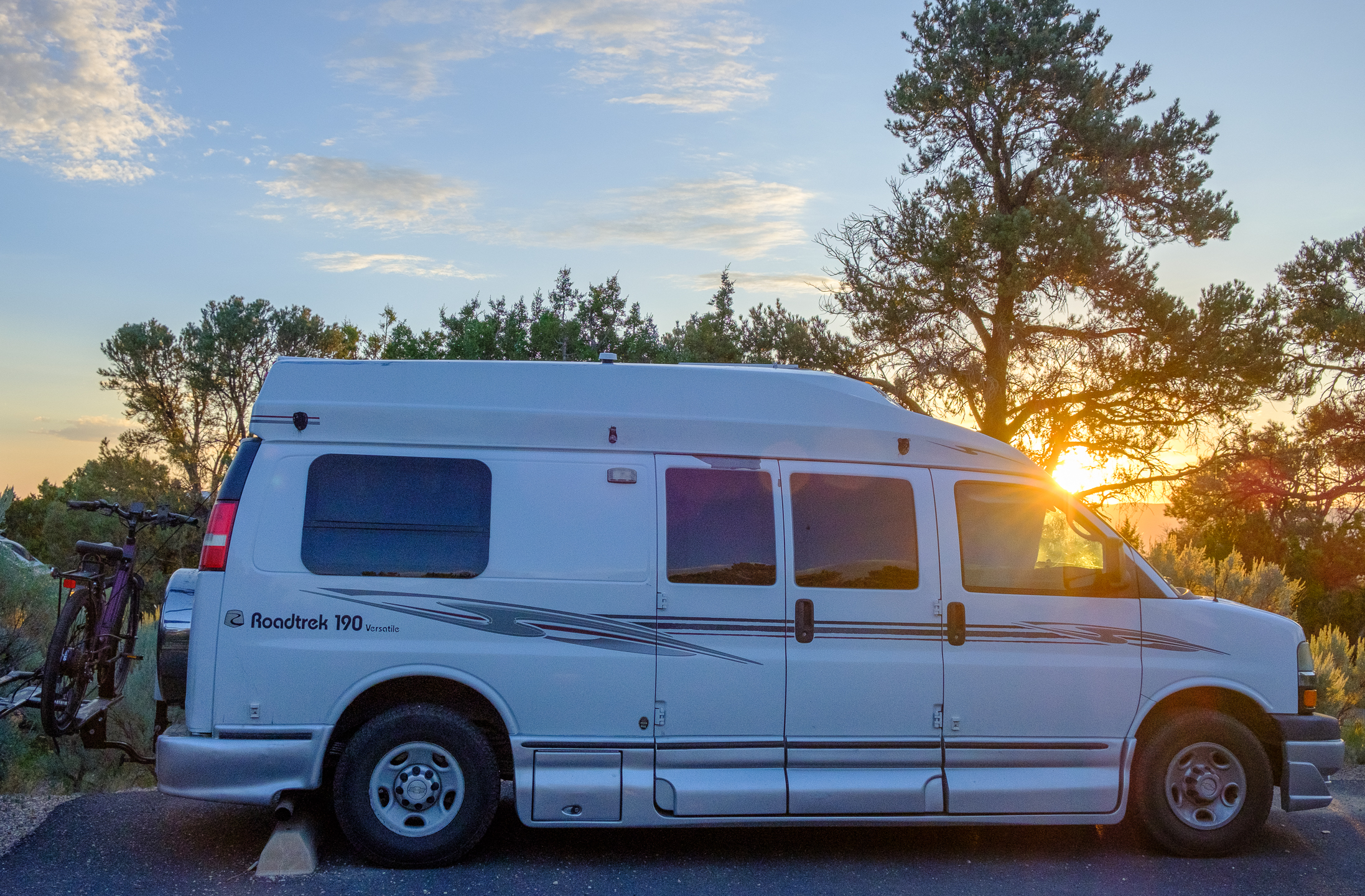
For World Photography Day, Fujifilm hosted “Create With Us” in Seattle, the second annual event with last year’s being in New York City. When I received my invitation, I was in the midst of planning this road trip – and the timing was perfect to attend this free photography extravaganza put on by my camera’s company.
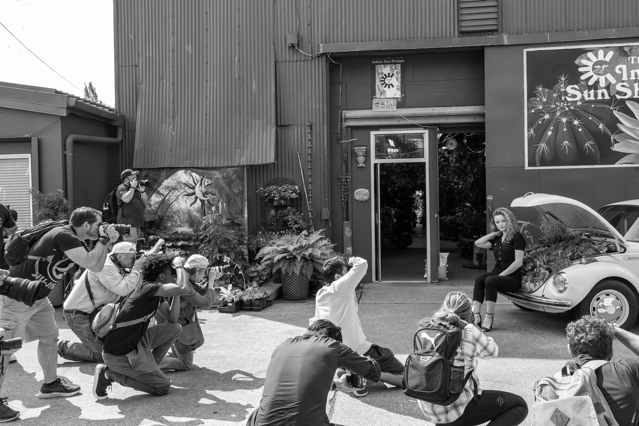
The formal schedule consisted of workshops presented by creatives (including the finale with The Marvelous Mrs. Maisel’s Cinematographer M. David Mullen), photowalks, models, information booths, and loaner cameras and lenses. All of these were terrific!
Most enlightening, though, were the informal conversations with fellow photographers, of all abilities and experiences. I love talking about photography; every conversation grows my knowledge and my interest. I especially appreciate when knowledgeable people ask me what I like to capture before giving me their advice, as tools vary based on usage and creative interests.
Warning: Photography nerd talk…
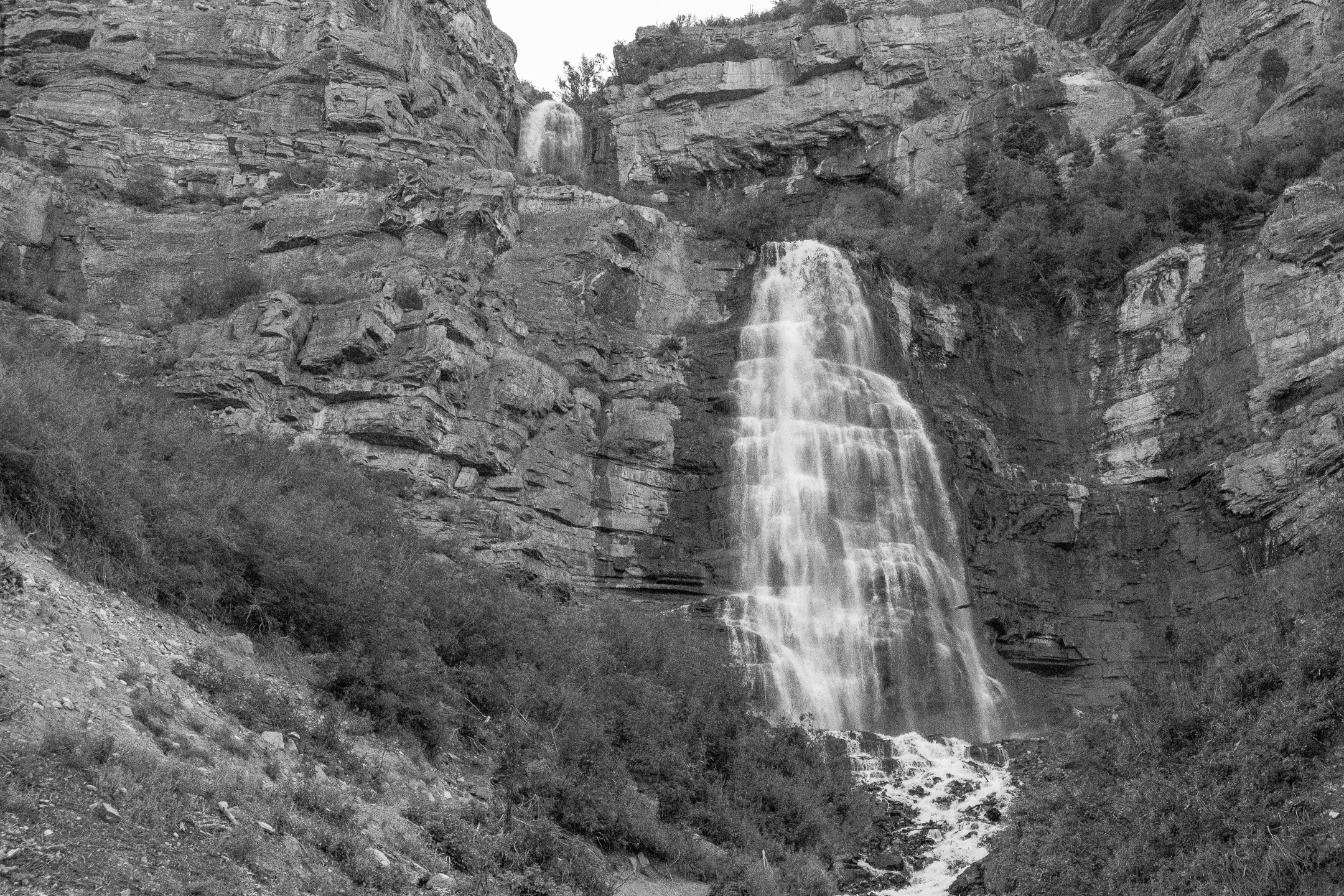
Being able to try various lenses was so much fun! Given I live in San Luis Obispo, I don’t have much opportunity to test lenses. I first tried the 16-80mm f4, which I thought I’d like much more than I did. It’s just too similar to my 18-55mm f 2.8-4. Next, I’ve been curious about prime lenses (fixed focal length – no zoom component). Therefore, I played with the 23mm f1.4. I didn’t like it at all. Since I’m used to being able to zoom rather than getting close to my subject, the 23mm felt uncomfortable and weird to me .
Finally, I attached a 35mm f2. Wow! I felt all excited jitteriness within my body while using the lens! So much fun, so comfortable, so beautiful!
The two local photo shops sponsoring the event, along with Fujifilm of course, did not have products on hand to sell. I used my ORCA card, hopped on the bus, and went 20 minutes away to Glazer’s! (Incidentally, another person from the event was on the same bus with me to buy a lens at Glazer’s. 🙂 )
I think I’m set on my kit now…well, other than the teleconverter 1.4x I plan to get next year! Hahaha!
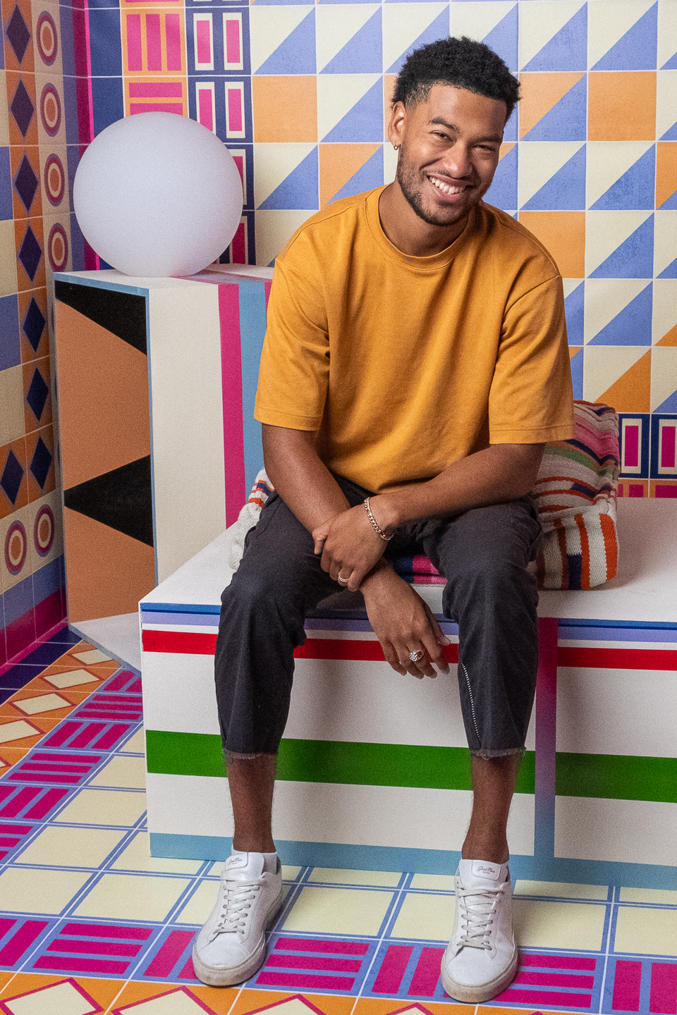
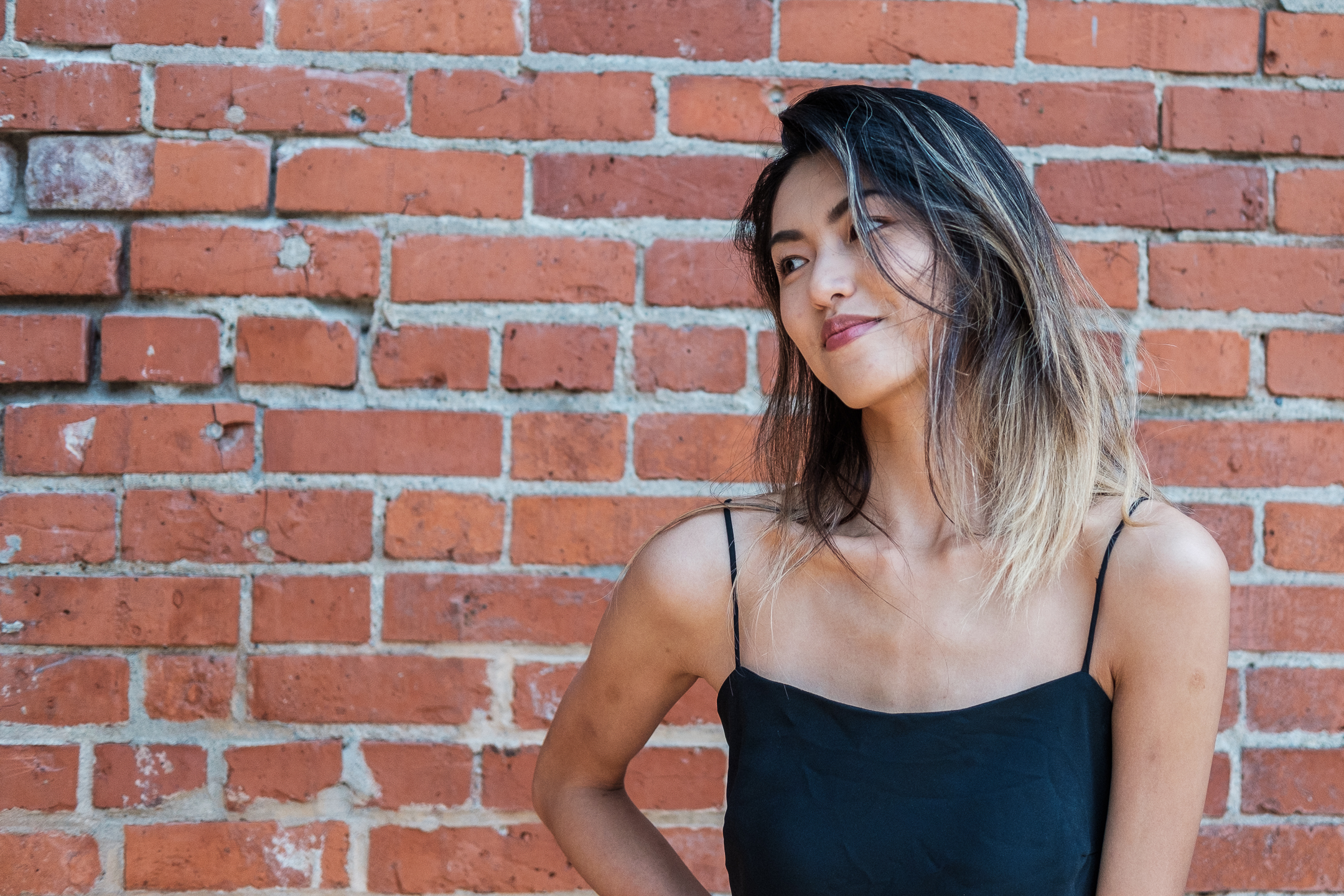
Models
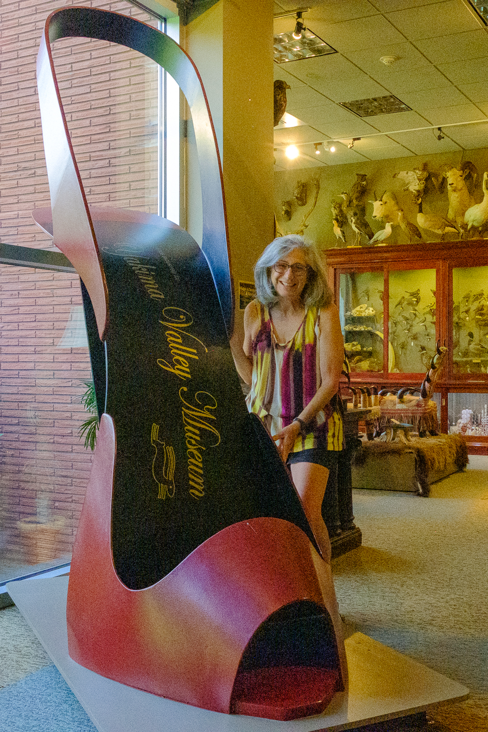
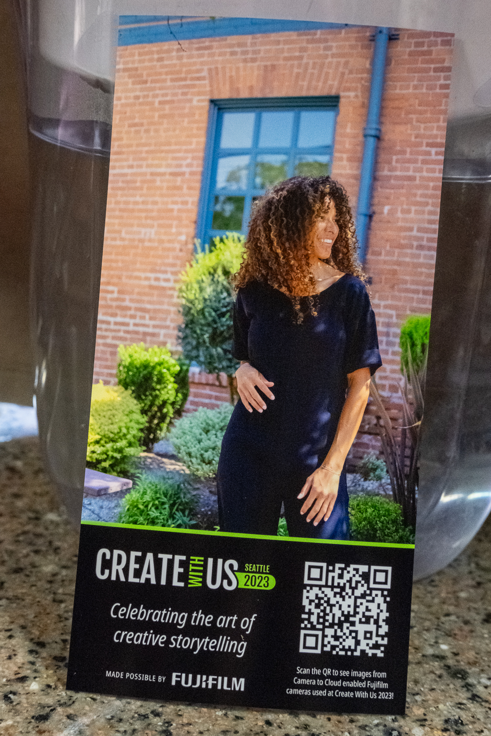
Fujifilm printed this for me…
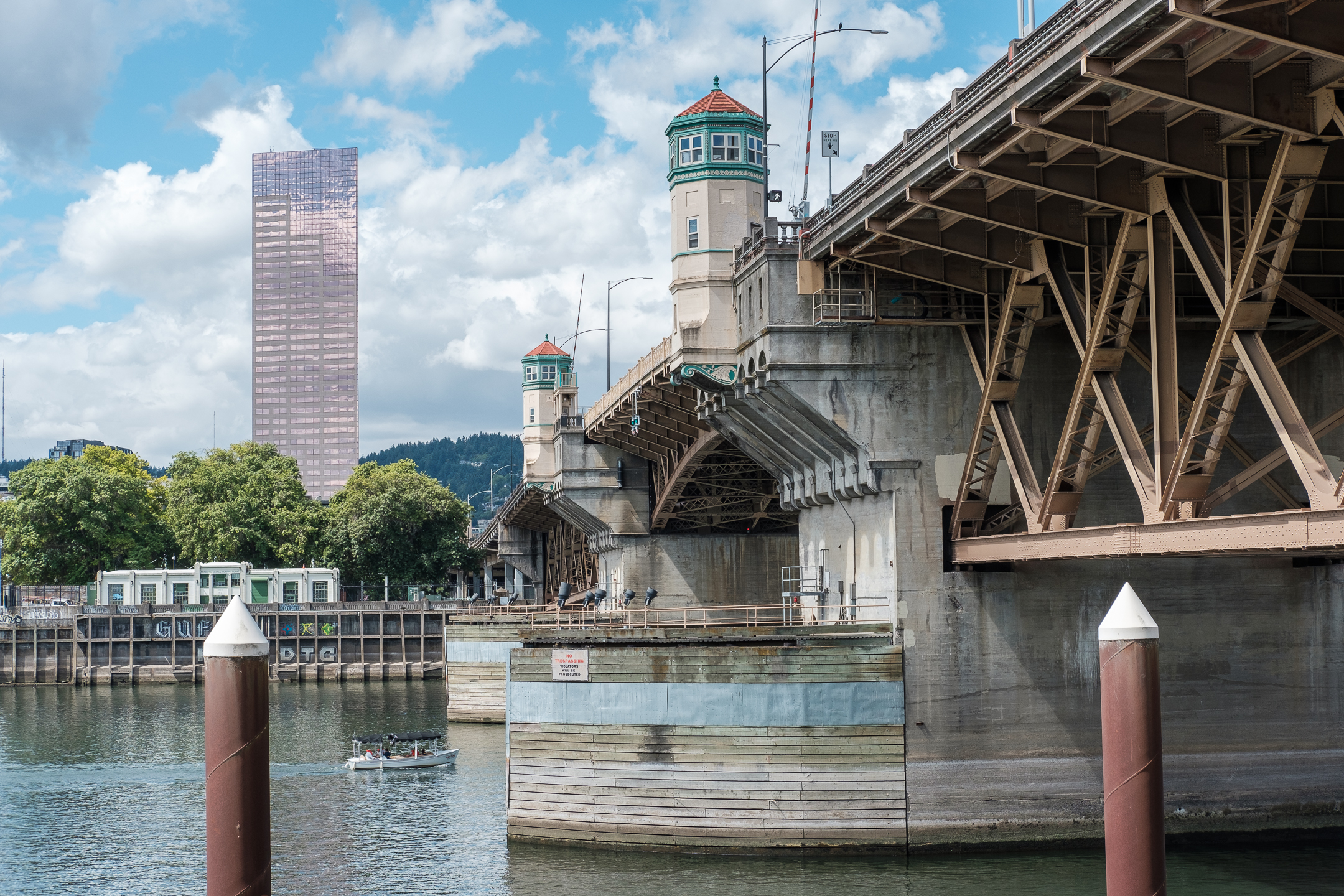
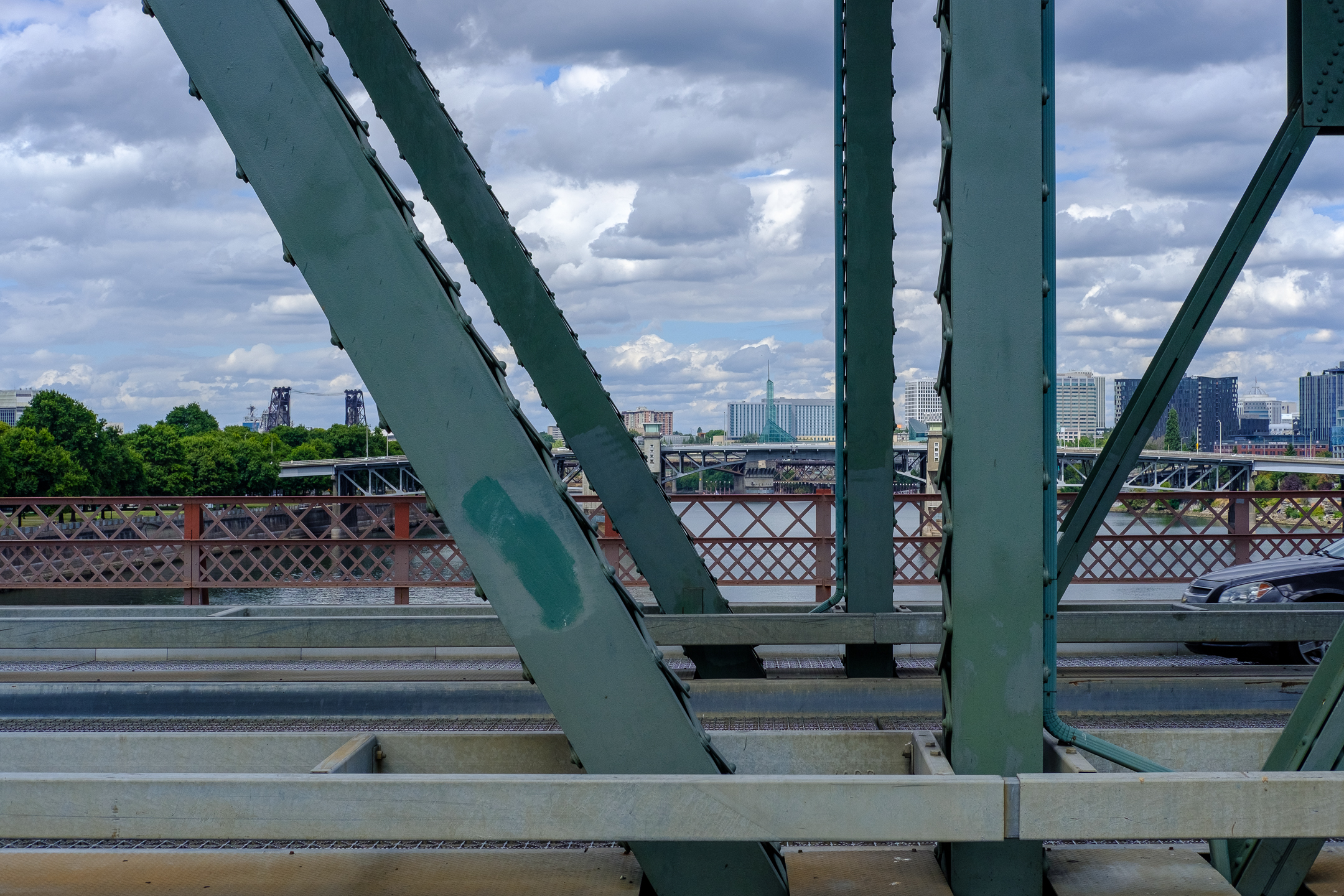
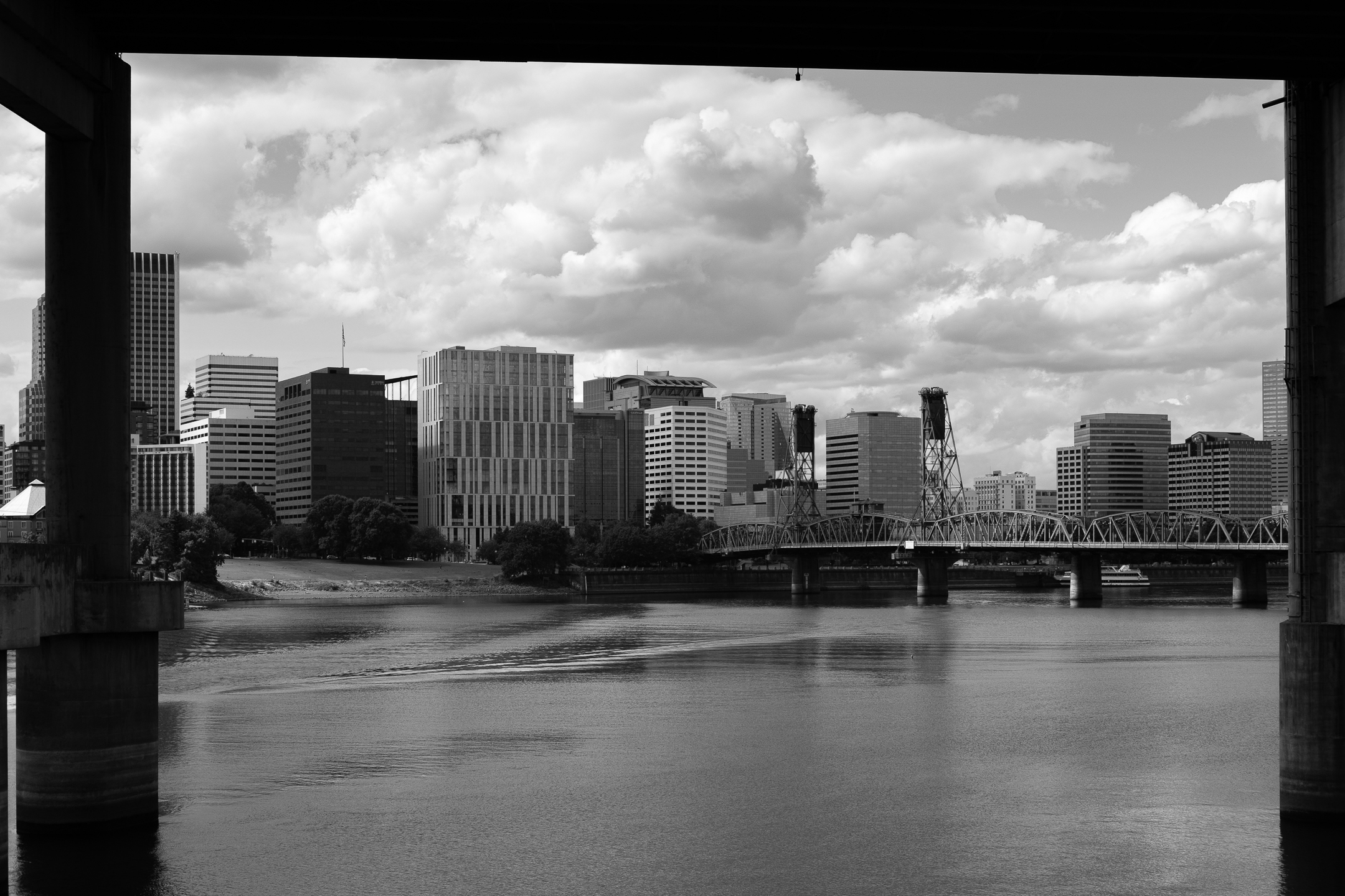
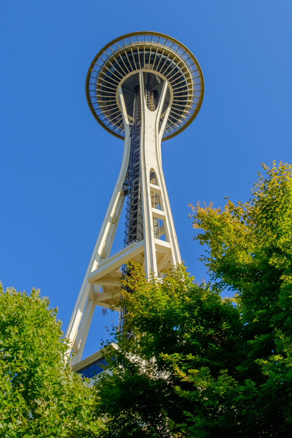
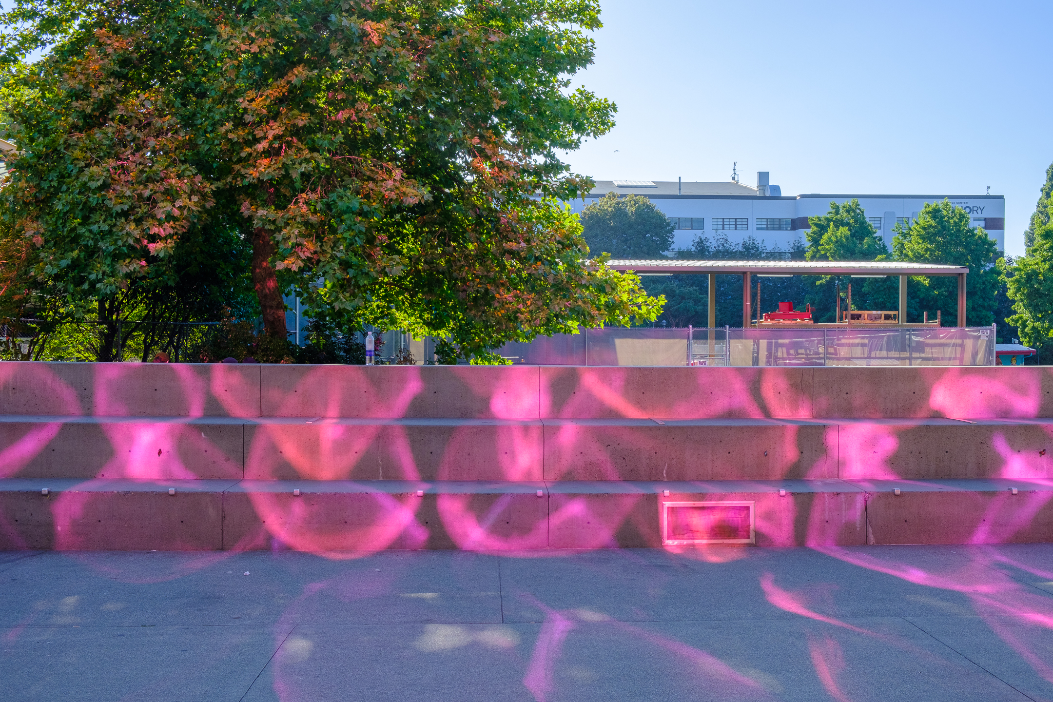
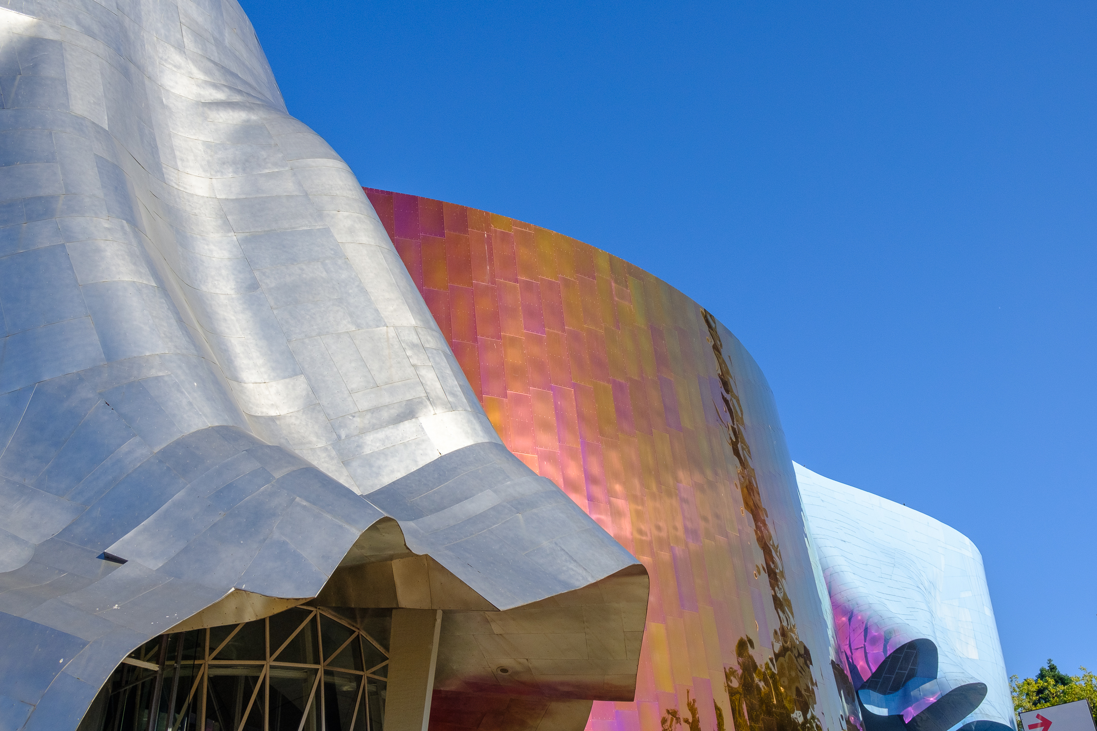
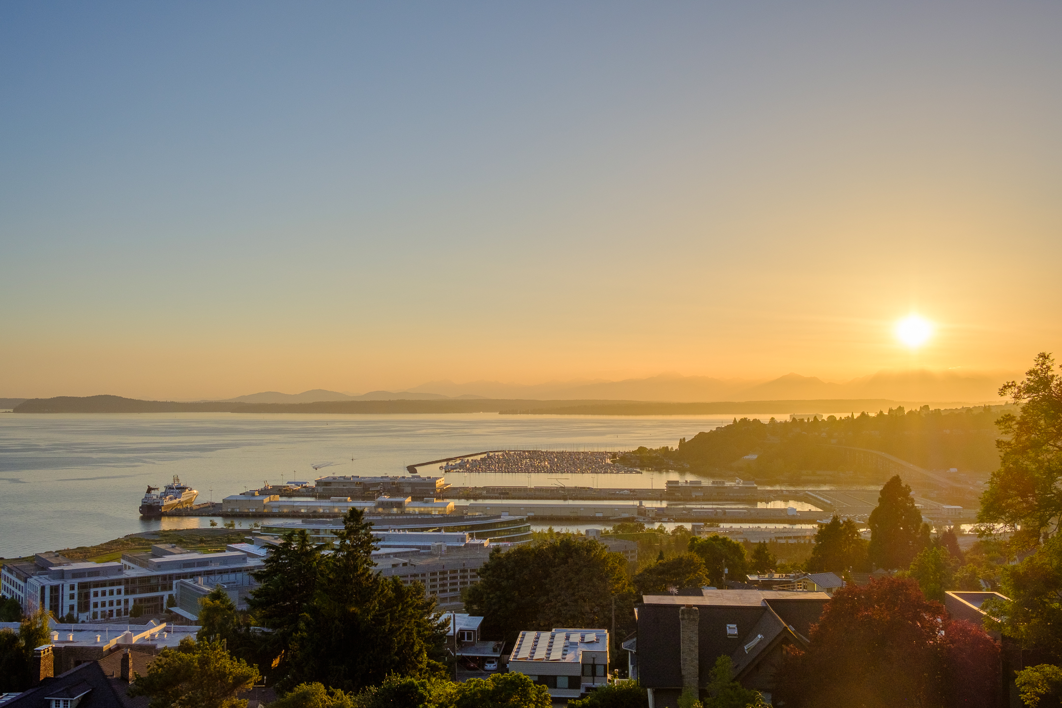
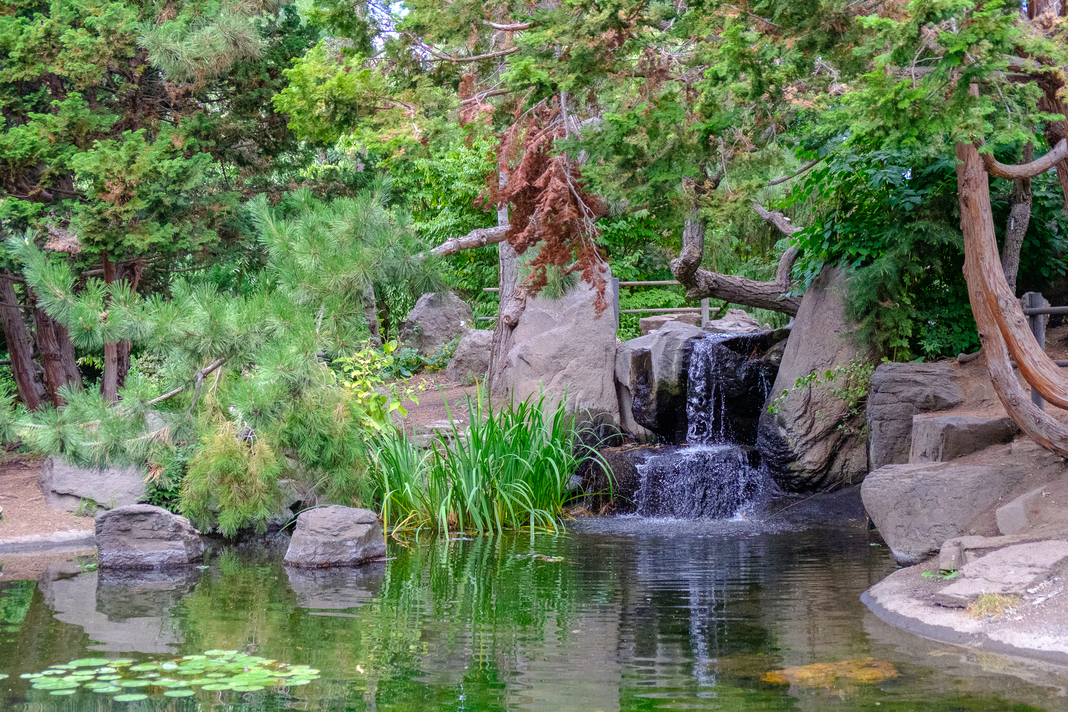
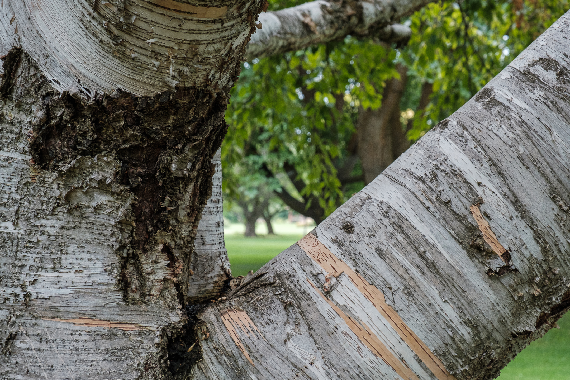
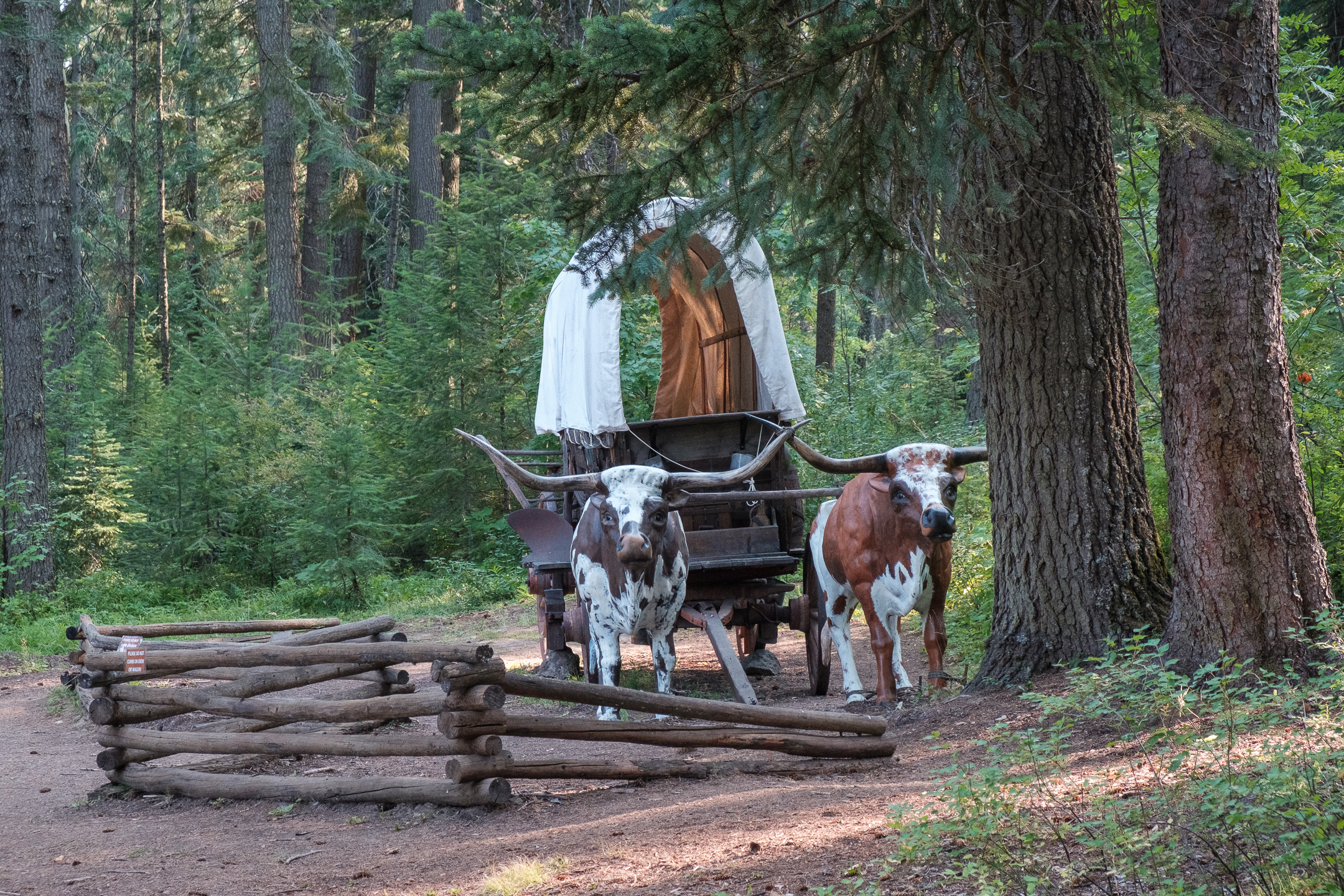
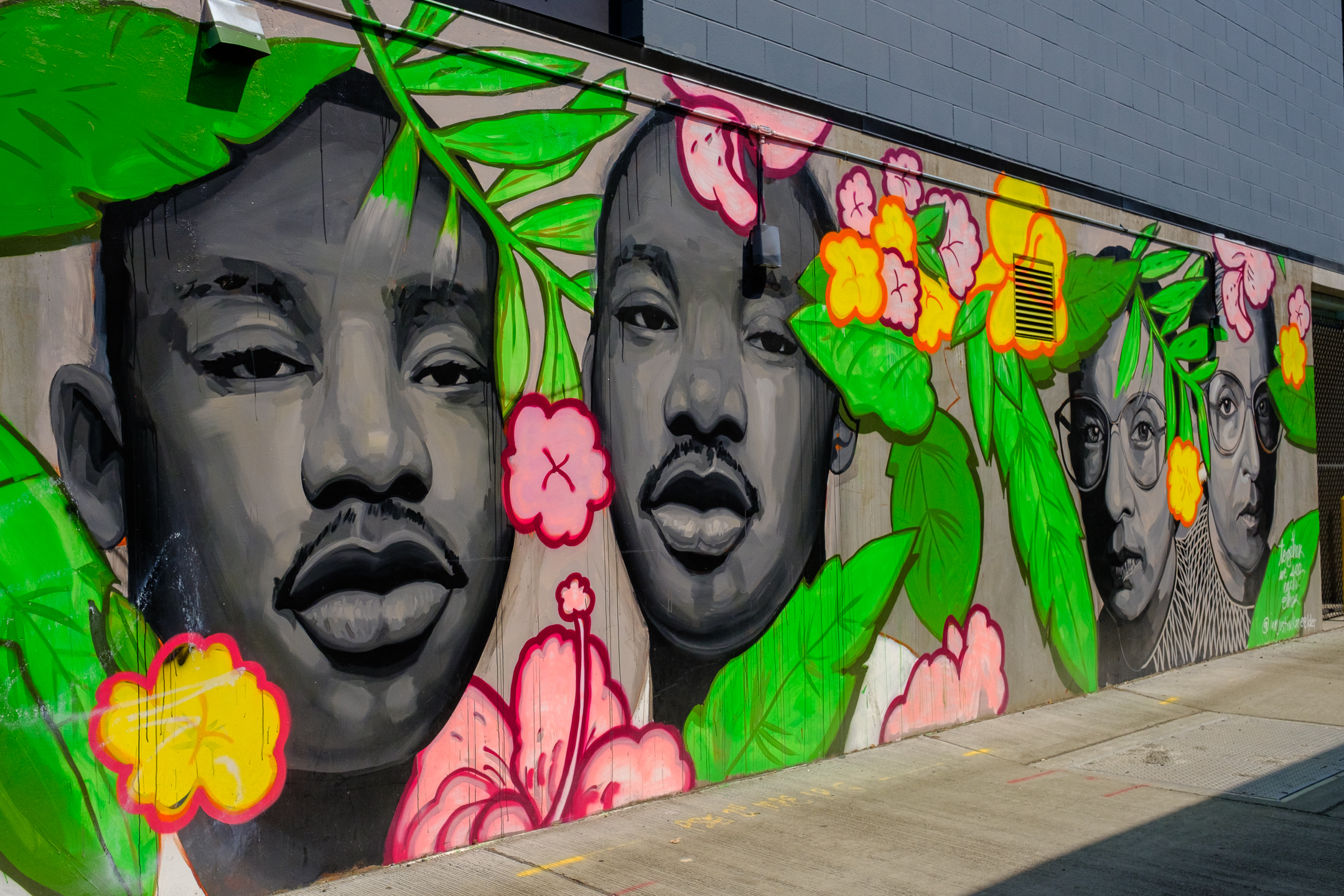
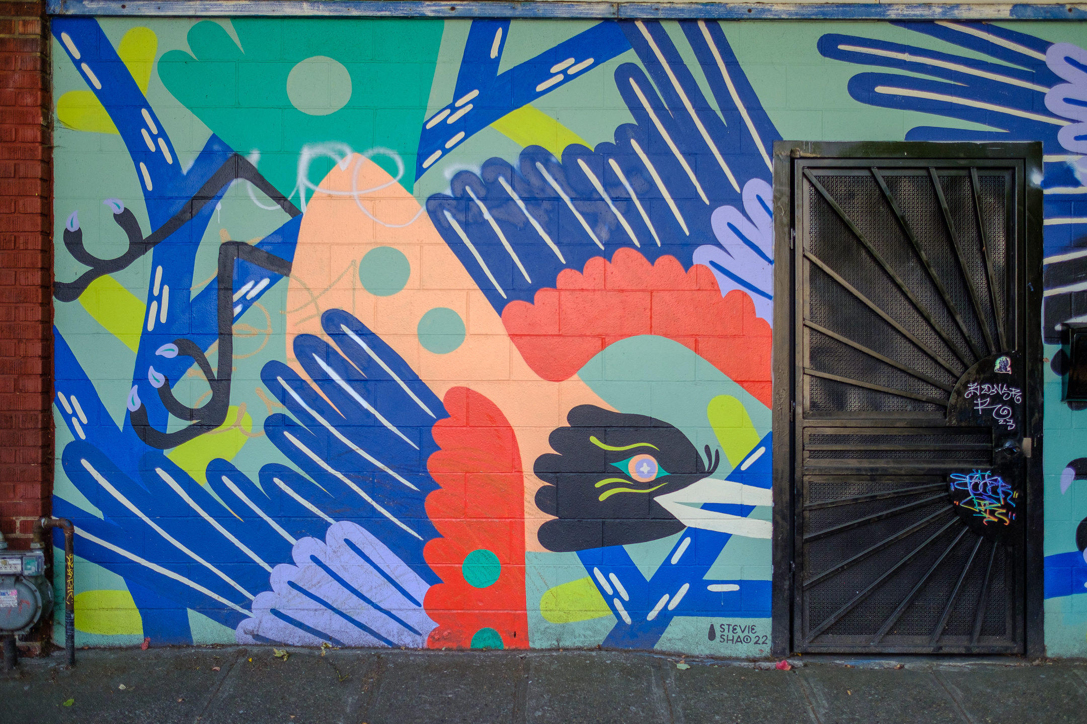
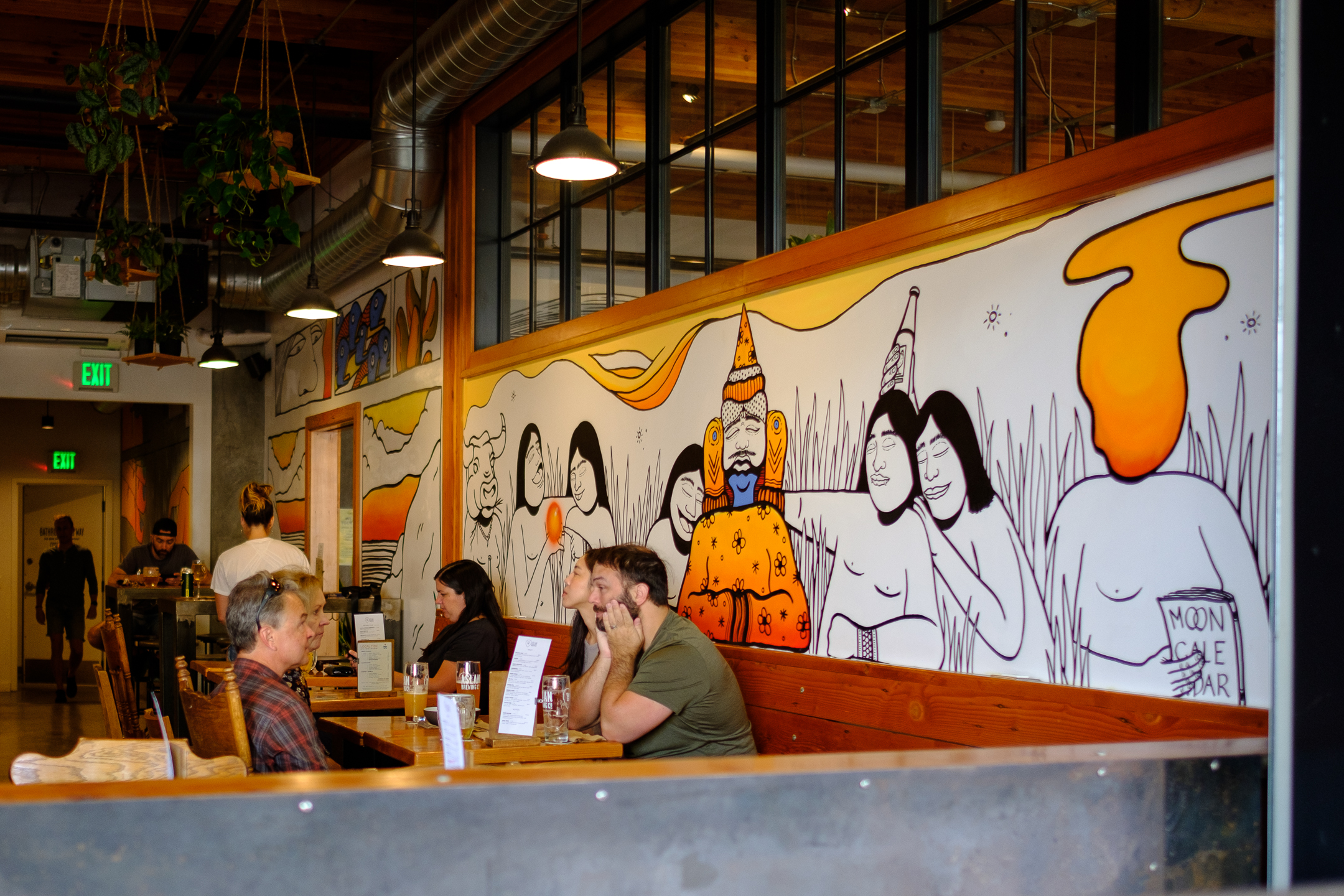
Photowalk

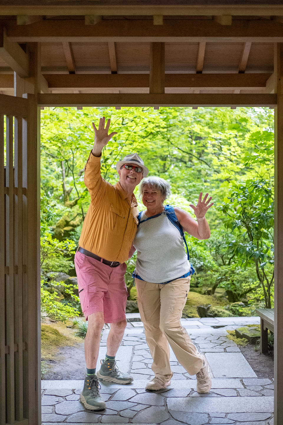
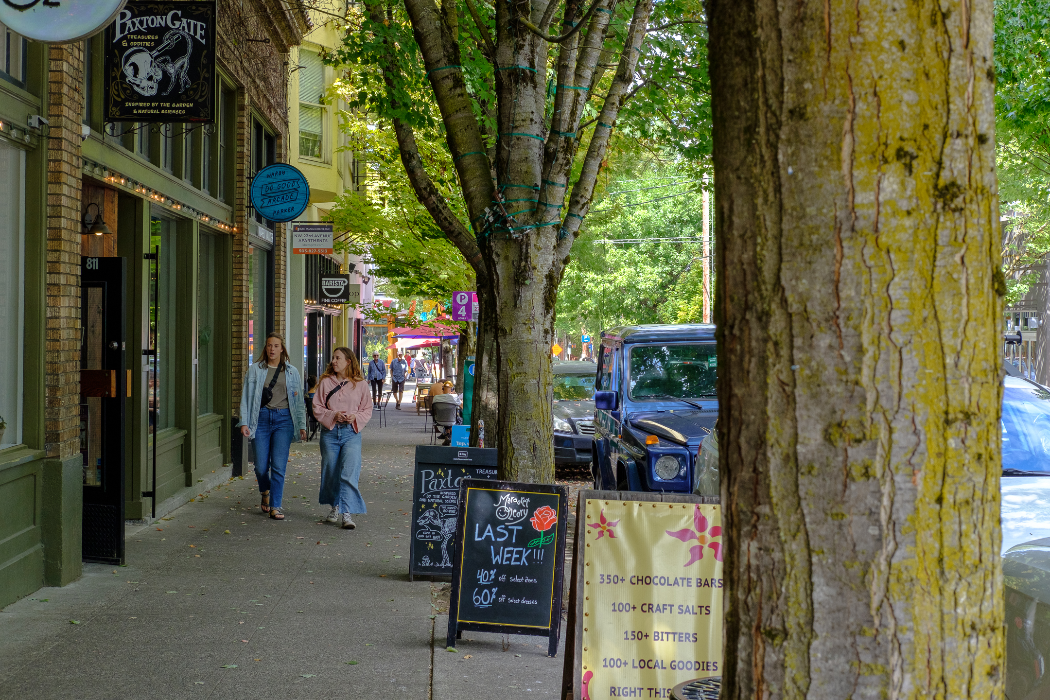
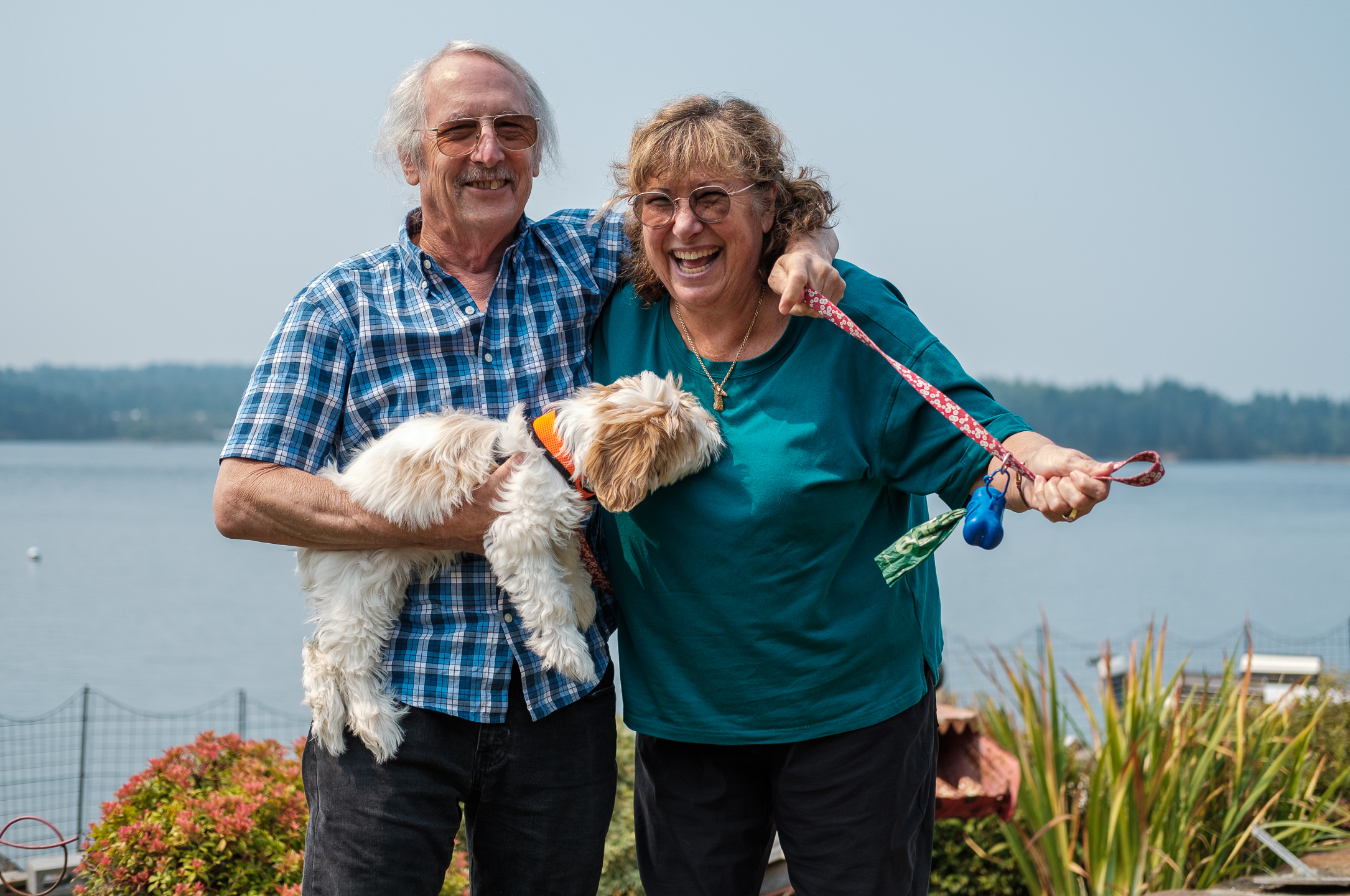
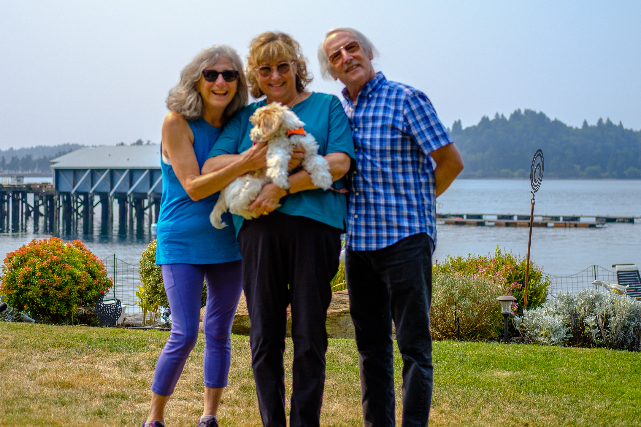
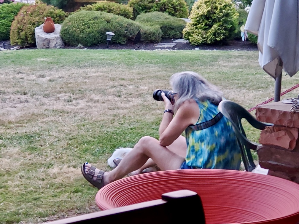
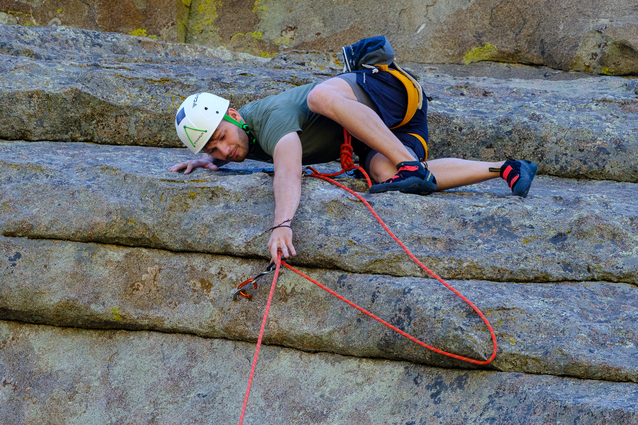
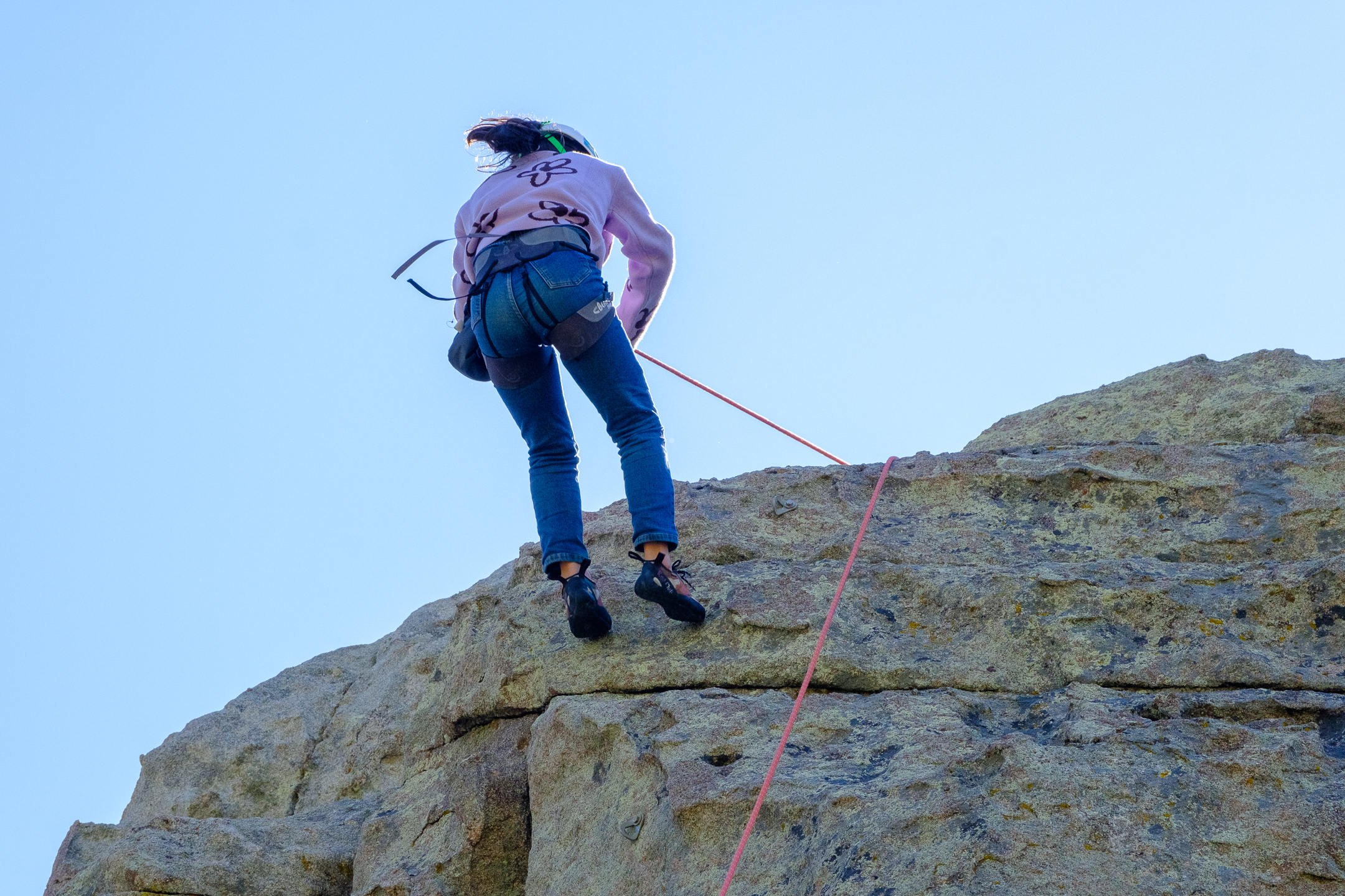
A fellow photographer – although not hired as models, no one was shy about allowing others to photograph them 🙂